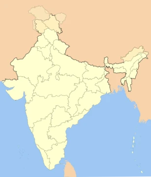
Chhattisgarh
Landlocked central Indian state formed in 2000 from Madhya Pradesh.

Thedurlav · CC BY-SA 4.0
Chhattisgarh is a landlocked state in central India, formed on 1 November 2000 after being part of Madhya Pradesh. It is the tenth largest state by area and the seventeenth most populous, with a population of roughly 30 million. The state is known for its ancient theatre architecture, such as the Sitabenga Caves from the Mauryan period, and for being a resource-rich region with the third largest coal reserves in India.
Quick Facts
- Official Name
- State of Chhattisgarh
- Etymology
- "Thirty-six forts"
- Nickname
- Rice bowl of India
- Motto
- Satyameva Jayate (Sanskrit) / "Truth alone triumphs"
- Anthem
- Arpa Pairi Ke Dhar (Chhattisgarhi) / "The Streams of Arpa and Pairi"
- Region
- Central India
- Before Was
- Part of Madhya Pradesh
- Capital
- Raipur
- Largestcity
- capital
- Districts
- 33 (5 divisions)
- Governor
- Ramen Deka
- Chief Minister
- Vishnu Deo Sai
Facts from the source article.
Lore & Background
Chhattisgarh, known in ancient times as Dakshina Kosala, is the native place of Rama's mother Kausalya. The name 'Chhattisgarh' was popularised during the Maratha Empire and first used in an official document in 1795. The most popular theory for its name derives from 36 ancient forts, though most historians disagree as 36 forts have not been found. Another view holds that 'Chhattisgarh' is a corrupted form of 'Chedisgarh', meaning the empire of the Chedis.
Reader's Guide
Chhattisgarh's significance lies in its ancient cultural heritage and modern economic role. The Sitabenga Caves, dated to the 3rd century BCE Mauryan period, are among the earliest examples of theatre architecture in India. The Jogimara Caves contain ancient Brahmi inscriptions and the oldest known paintings in India. Historically, the region was a crossroads of dynasties including the Mauryas, Satavahanas, Guptas, Kalachuris, and Haihaiyavanshis. In the modern era, Chhattisgarh is one of India's fastest-developing states, with a GSDP of ₹5.09 lakh crore (2023–24 est.) and per capita GSDP of ₹152,348. It is resource-rich, holding the third largest coal reserves in the country and providing electricity, coal, and steel to the nation. Its forest cover, the third largest in India after Madhya Pradesh and Arunachal Pradesh, covers over 41.21% of the state.
Did You Know?
- The Sitabenga Caves in Chhattisgarh are one of the earliest examples of theatre architecture in India, dated to the Mauryan period of the 3rd century BCE.
- Chhattisgarh has the third largest coal reserves in India and the third largest forest cover after Madhya Pradesh and Arunachal Pradesh.
- The name 'Chhattisgarh' was first used in an official document in 1795, during the Maratha Empire.
- The region was formerly part of Madhya Pradesh and was granted statehood on 1 November 2000.
From Seven Districts to Thirty-Three — The Administrative Expansion
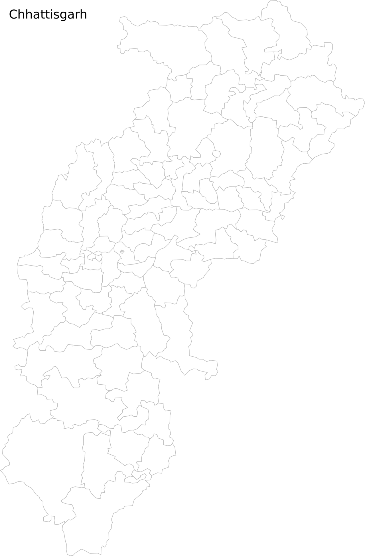
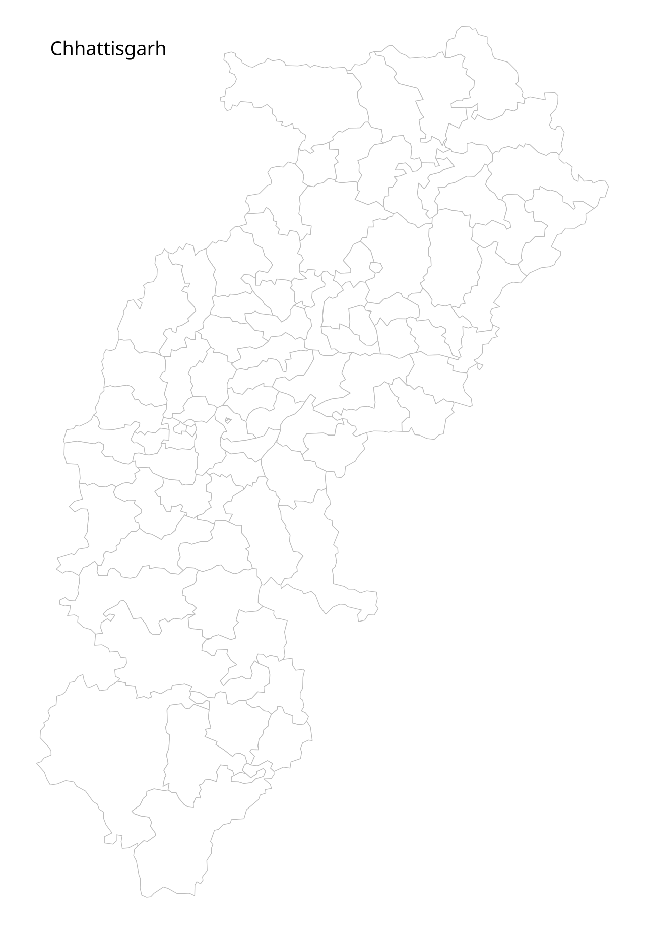
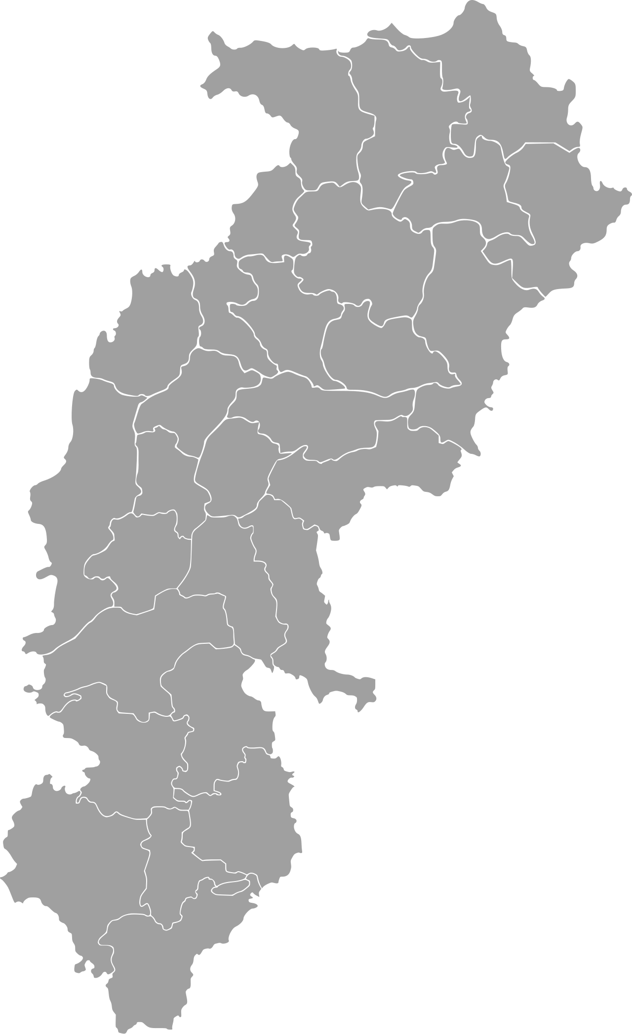
Chhattisgarh's administrative map has undergone a remarkable transformation since the state's inception. When the region was still part of Madhya Pradesh, it comprised just seven districts. The first major reshaping came in 1998, when those seven were split into sixteen, with new districts like Dantewada, Kanker, Dhamtari, Janjgir-Champa, Korba, Jashpur, Kawardha, Koriya, Surajpur, and Mahasamund carved out of their parent units. Following statehood in 2000, the expansion accelerated. In 2007, Bijapur and Narayanpur joined the roster, bringing the count to eighteen. A far larger wave arrived on 1 January 2012, when nine additional districts—including Sukma, Kondagaon, Balod, Bemetara, Baloda Bazar, Gariaband, Mungeli, Surajpur, and Balrampur—were announced, pushing the total to twenty-seven. The 28th district, Gaurela-Pendra-Marwahi, was announced in August 2019 and formally inaugurated in February 2020. The most recent expansion came in September 2022, when five new districts, including Manpur-Mohla, Sarangarh-Bilaigarh, Manendragarh, Sakti, and Khairagarh-Chhuikhadan-Gandai, were inaugurated, bringing the state's total to thirty-three.
Colonial Fragmentation and the Princely Mosaic
Before independence, the territory that would become Chhattisgarh was split between two distinct political systems. The central belt fell under British administration as part of the Central Provinces and Berar province, organized into a Chhattisgarh Division comprising three districts: Raipur, Bilaspur, and Durg. Notably, Durg was not always a separate entity; it was carved out of the western portion of Raipur District in 1906. Surrounding this British-administered core, a patchwork of princely states stretched across the north, south, and east, collectively administered through the Eastern States Agency. To the north, six states—Chang Bhakar, Jashpur, Koriya, Surajpur, Raigarh, and Surguja—covered what are now the Koriya, Surajpur, Surguja, Jashpur, and Raigarh districts. In the west, Nandgaon, Khairagarh, Chhuikhadan, and Kawardha formed parts of present-day Rajnandgaon and Kawardha. To the south, the states of Kanker and Bastar encompassed the northern and southern portions of today's Kanker District as well as the Bastar and Dantewada areas. This fragmented colonial landscape would later be consolidated into a single administrative unit.
The Road to Statehood (1947–2000)
Indian independence in 1947 triggered a sweeping political reorganization. The princely states that had dotted the region were absorbed into the Central Provinces and Berar, and together they formed the newly constituted state of Madhya Pradesh. Within this larger entity, the Chhattisgarh region was consolidated into seven districts: the former Kanker and Bastar states became the new Bastar District; Surguja, Koriya, and Chang Bhakar merged into the new Surguja District; and Nandgaon, Khairagarh, Chhuikhadan, and Kawardha combined to form Rajnandgaon District. For over five decades, this seven-district configuration remained the boundary of the region. The turning point came in 1998, when the seven districts were reorganized into sixteen through a series of splits. On 1 November 2000, these sixteen districts were formally separated from Madhya Pradesh, and the new state of Chhattisgarh was born, with Raipur as its capital. This moment marked the culmination of decades of political movement for a distinct Chhattisgarhi identity and self-governance.
Governance Architecture and the Push for Decentralization
Chhattisgarh's governance structure rests on a clear hierarchical framework. Each of its thirty-three districts is headed by a district magistrate or deputy commissioner, an officer of the Indian Administrative Service, who is supported by a cadre of officials from various state administrative wings. Law and order falls under a superintendent of police, drawn from the Indian Police Service. Geographically, the state is organized into three broad regions: the Northern Hills Region governed from the Surguja division headquartered at Ambikapur; the Chhattisgarh Plains spanning the Durg, Raipur, and Bilaspur divisions; and the Bastar Plateau administered from the Bastar division with its headquarters at Jagdalpur. Looking ahead, proposals for further administrative restructuring aim to decentralize governance, accelerate economic development in remote areas, and strengthen public service delivery in regions historically affected by Left-Wing Extremism. A unified Raipur State Capital Region encompassing Raipur, Nava Raipur, Bhilai, and Durg is under consideration, while Ambikapur and Bilaspur have been proposed as regional capitals to anchor balanced growth across the state.
Gallery
Frequently Asked Questions
What is Chhattisgarh?
Chhattisgarh is a landlocked state situated in the heart of India, carved out of the larger state of Madhya Pradesh on 1 November 2000. It now stands as its own administrative entity in central India.
How large is Chhattisgarh in India?
By area it ranks as the tenth-largest state in the country, while its population of roughly 30 million places it at seventeenth in terms of population. Over 41 percent of its territory is covered by forest.
Why is Chhattisgarh considered resource-rich?
The state holds the third-largest coal reserves in all of India, making it a major contributor to the nation's energy supply. Its dense forests and mineral wealth further underscore its economic significance.
What ancient heritage sites can you find in Chhattisgarh?
The Sitabenga Caves, dating back to the Mauryan period, are among the state's most notable archaeological treasures. They are celebrated for their early examples of Indian theatre architecture.
When and how did Chhattisgarh become its own state?
On 1 November 2000, the region was formally separated from Madhya Pradesh to create a new state. This reorganization gave the central-Indian region its own government and identity after years of being administered as part of the larger state.
More in Indian States 1-24
Spotted an error? Know more?
Reader corrections go straight into our review queue. Suggest an edit · How this site is sourced