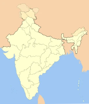
Assam
A northeastern Indian state known for tea, silk, and biodiversity.

Medhi jyoti · CC BY-SA 4.0
Assam is a state in Northeast India, located south of the Eastern Himalayas along the Brahmaputra Valley and Barak River valleys. It is the second largest state in northeastern India by area and the largest by population in the region, with a population of 31.2 million as per the 2011 census. The state is known for its Assam silk and Assam tea, both recognized as Geographical Indications in India, and for its rich biodiversity, including the one-horned Indian rhinoceros.
Quick Facts
- Etymology
- From "Ahom" kingdom.
- Nickname
- "Land of red river and blue hills"
- Motto
- Satyameva Jayate (Sanskrit) / "Truth Alone Triumphs"
- Anthem
- O Mur Apunar Desh (Assamese) / "O My Dearest Country"
- Region
- Northeast India
- Before Was
- State of Assam
- Capital
- Dispur
- Largestcity
- Guwahati
- Districts
- 35 (5 divisions)
- Governor
- Lakshman Acharya
- Chief Minister
- Himanta Biswa Sarma
Facts from the source article.
Lore & Background
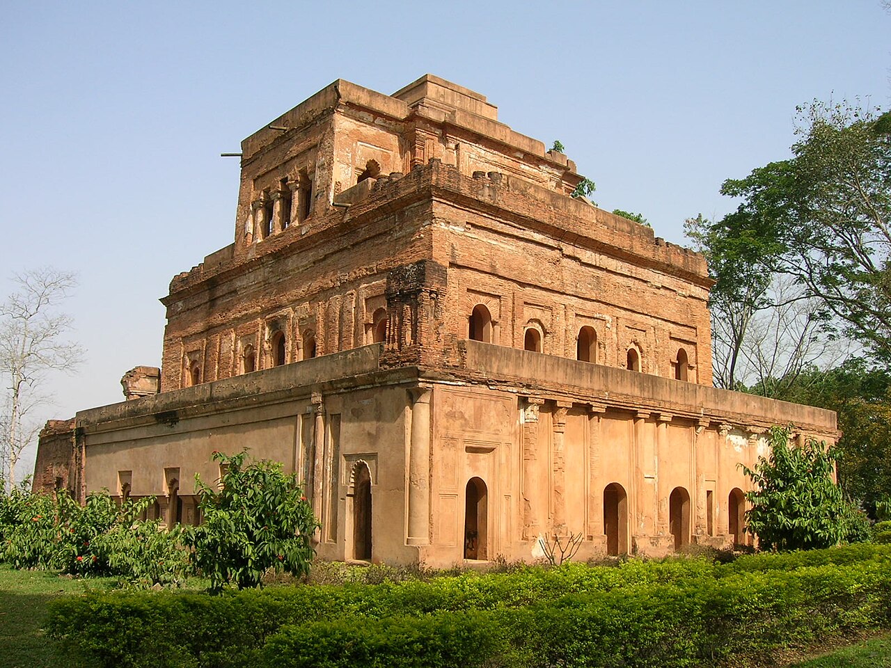
Assam's history includes early settlements from the second to first century BCE, with archaeological evidence from the region. The area is mentioned in the Hindu epic Mahabharata, though substantial archaeological evidence for its ancient history is lacking. It was described as a frontier of the Gupta Empire in the fourth century CE and was ruled by the Varmanas (c. 350–650 CE), Mlechchhas (c. 655–900 CE), and Kamarupa-Palas (c. 900–1100 CE). The Ahom kingdom was established in the 13th century CE and ruled until the early 19th century CE, during which there were conflicts with the Mughals. After the Moamoria rebellion and Burmese invasions weakened the Ahom kingdom, the British began establishing tea estates in the 19th century CE. The region became part of the Bengal Presidency, and the Assam Province was established in 1912. The Assam Legislative Assembly was formed in 1937, and the province became part of Independent India on 15 August 1947, recognized as a state after India became a republic on 26 January 1950.
Reader's Guide
Assam's significance lies in its role as a major producer of tea and silk, both of which are recognized as Geographical Indications in India. The state is also a key biodiversity zone, hosting more than half of the extant wild population of the one-horned Indian rhinoceros, and includes World Heritage Sites such as Kaziranga and Manas National Parks. Its history as a frontier of the Gupta Empire and the long rule of the Ahom kingdom, which resisted Mughal expansion, marks it as a distinct cultural and political entity in Northeast India. The discovery of oil in 1867 and subsequent drilling in 1889 contributed to its economic development. The state's location along the Siliguri Corridor, a narrow strip of land connecting it to the rest of India, underscores its geopolitical importance. Assam's diverse ecosystems, including tropical rainforests, deciduous forests, and riverine grasslands, along with its copious rainfall, support a rich variety of wildlife and contribute to its appeal for wildlife tourism.
Did You Know?
- The state shares international borders with Bhutan to the north and Bangladesh to the southwest.
- Oil was discovered in Assam in 1867, and drilling began that same year; the first oil well in Asia was drilled at Digboi in 1889.
Geographic Composition and Territorial Reach
Undivided Assam stood as one of the most expansive administrative units in post-independence India, stretching across 234,568 square kilometres—a footprint only marginally smaller than the West African nation of Ghana. Its borders embraced the territory we now recognise as the state of Assam along with four additional regions that have since achieved separate statehood: Arunachal Pradesh, Meghalaya, Nagaland, and Mizoram. In practical terms, the entity covered five of the seven contiguous states that make up modern Northeast India, with only Tripura and Manipur falling outside its jurisdiction. This broad sweep of territory meant that a single administrative apparatus once governed a mosaic of distinct regions spanning the entire northeastern quadrant of the subcontinent. The sheer breadth of the region underscores how dramatically the political map of the Northeast has been redrawn over the decades since independence, transforming what was once a unified territory into a constellation of separate states.
Political Timeline and the Seat of Governance
The undivided state of Assam occupied a defined window in Indian political history, existing from the moment of independence in 1947 until 1972, when the territory was formally carved into its constituent states. For those twenty-five years, the seat of governance was Shillong, a city that today serves as the capital of Meghalaya. The choice of Shillong as the administrative centre for such a vast and geographically diverse entity speaks to the complexity of managing a region that encompassed five of the seven contiguous Northeast Indian states. The eventual partition of this single state into multiple units—Assam, Arunachal Pradesh, Meghalaya, Nagaland, and Mizoram—represents one of the most significant reconfigurations of India's internal borders in the post-independence era. The transition from a unified Assam to a collection of separate states fundamentally reshaped the political, cultural, and administrative landscape of the entire Northeast region, creating the patchwork of states that defines the area today.
Pre-Partition Boundaries and the Sylhet Question
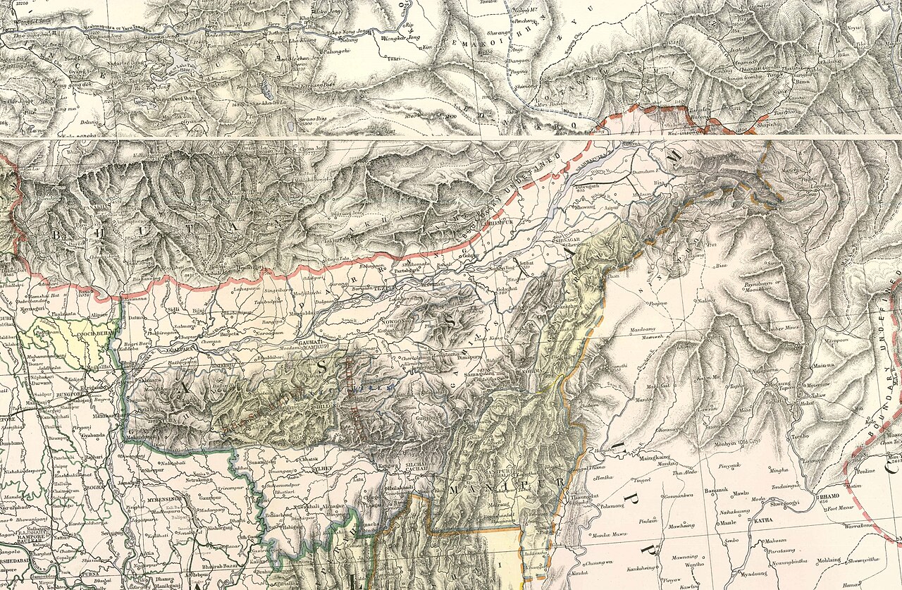
The territorial story of Assam extends well before 1947. Prior to the Partition of India, the region of Sylhet was administratively part of Assam, adding yet another layer to the complex territorial history of the area. This means that the boundaries of the greater Assam entity were already in flux before independence, as the Partition redrew lines and separated territories that had previously been governed as a single unit. The inclusion of Sylhet in pre-Partition Assam highlights how the political geography of the subcontinent was shaped by colonial administrative decisions that did not always align with ethnic, linguistic, or cultural boundaries. When independence arrived in 1947, the resulting state of Assam—though already smaller than its pre-Partition form—still remained one of the largest in the country, encompassing the present-day Assam along with Arunachal Pradesh, Meghalaya, Nagaland, and Mizoram under a single flag.
Demographic Weight and Modern Comparisons
If the population of the territory that once constituted undivided Assam were measured today, it would total approximately fifty million people—a figure only slightly below the population of South Korea. This comparison helps illustrate the sheer demographic scale of the entity that existed between 1947 and 1972. At a time when many of the world's nations had populations in the tens of millions, undivided Assam represented a population centre of comparable magnitude, all governed from a single capital in Shillong. The area of 234,568 square kilometres, slightly less than Ghana, combined with this population density, created a unique administrative challenge. The fact that this territory was eventually divided into five separate states—Assam, Arunachal Pradesh, Meghalaya, Nagaland, and Mizoram—means that the demographic and geographic weight of the original entity is now distributed across multiple political units, each with its own governance structures and identity.
Gallery



Frequently Asked Questions
Who is Assam?
Assam is a northeastern Indian state cradled in the Brahmaputra and Barak River valleys, sitting just south of the Eastern Himalayas. It is the most populous state in the northeast region, home to roughly 31.2 million people as of the 2011 census.
What are Assam's signature abilities?
Assam is globally recognized for two Geographical Indication products—Assam tea and Assam silk—that anchor its agricultural identity. It also shelters the one-horned Indian rhinoceros and a broad array of other wildlife, making biodiversity a core part of its reputation.
Where does Assam sit on the map?
It stretches across the Brahmaputra Valley and the Barak River valleys in Northeast India, ranking as the second-largest northeastern state by area. Its position south of the Eastern Himalayas shapes a distinct monsoon climate and rich ecosystem.
What language does Assam speak?
Assamese is the official language across the entire state, while Bengali also carries official status in the Barak Valley. This dual arrangement mirrors the varied cultural communities that call Assam home.
Why is Assam important in the bigger picture?
As the most populous and one of the largest states in the northeast, Assam functions as a cultural and economic anchor for the whole region. Its tea and silk industries, paired with its exceptional biodiversity, give it disproportionate influence on India's agricultural and ecological landscape.
More in Indian States 1-24
Spotted an error? Know more?
Reader corrections go straight into our review queue. Suggest an edit · How this site is sourced