
Mammoth Cave National Park
Preserves the world's longest known cave system and its karst landscape.

Willis Thomas Lee · Public domain
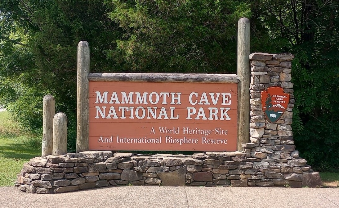
Mammoth Cave National Park is a United States national park located in south-central Kentucky, established on July 1, 1941. It preserves the Mammoth–Flint Ridge Cave System, the longest known cave system in the world, with more than 426 miles of surveyed passageways as of 2025. The park is also a World Heritage Site, an international Biosphere Reserve, and an International Dark Sky Park.
Quick Facts
- Iucn Category
- II
- Location
- Edmonson, Hart, and Barren counties, Kentucky, U.S.
- Nearest City
- Brownsville, Park City, and Cave City
- Area Acre
- 52007
- Established
- 1941-07-01
- Visitation Num
- 747,042
- Visitation Year
- 2024
- Governing Body
- National Park Service
Facts from the source article.
Lore & Background
Human activity in the cave traces back at least five thousand years. Native American remains, including mummies and the remains of a pre-Columbian miner named 'Lost John,' have been recovered. Research led by Patty Jo Watson beginning in the late 1950s illuminated the lives of late Archaic and early Woodland peoples who explored and exploited the caves. The park's mission includes preserving, protecting, interpreting, and studying the cave system, its forested karst landscape, the Green and Nolin rivers, and evidence of human history.
Reader's Guide
Mammoth Cave National Park is significant as the longest known cave system in the world, with over 426 miles of surveyed passageways, more than 1.5 times longer than the second-longest cave system. Its establishment in 1941 followed contentious eminent domain proceedings that still affect the region. The park's geology, including the protective sandstone caprock and the development of dry upper passages, provides a unique environment for scientific study. The park offers a variety of cave tours, including electric-lit and paraffin-lamp tours, as well as 'wild' tours through undeveloped passages. The Echo River Tour, a famous boat ride along an underground river, was discontinued in the early 1990s. The park's designation as a World Heritage Site, Biosphere Reserve, and Dark Sky Park underscores its global importance for geology, biology, and human history.
Did You Know?
- The cave system was formally named Mammoth–Flint Ridge Cave System in 1972 after a connection was discovered between Mammoth Cave and the system under Flint Ridge.
- The park's 52,007 acres are located primarily in Edmonson County, with small areas in Hart and Barren counties.
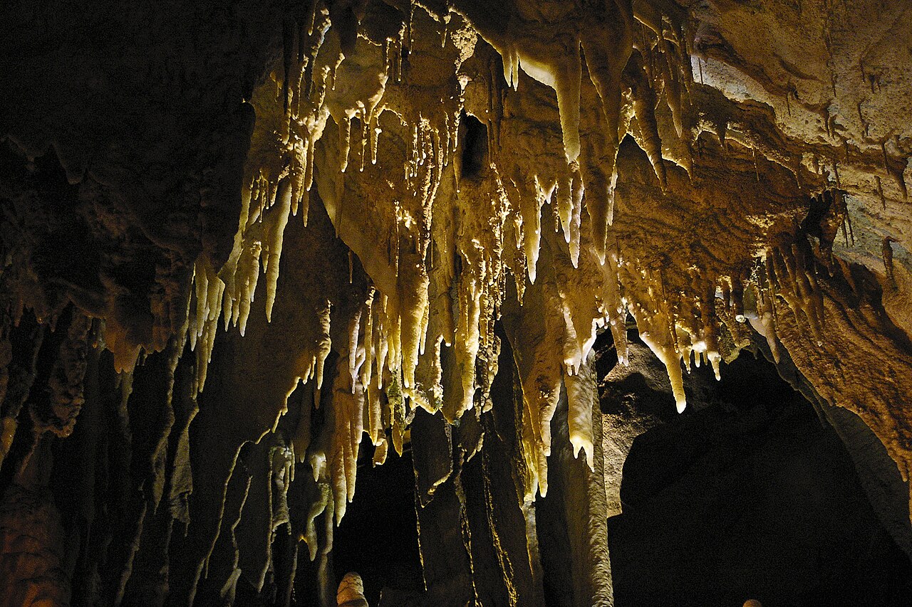
- The Frozen Niagara room is a speleothem (flowstone) formation, not a result of sandstone dissolution/erosion; the cave features are formed in the underlying limestone, not the sandstone caprock.
- The remains of a pre-Columbian miner named 'Lost John' were exhibited to the public into the 1970s before being interred in a secret location.
Deep Time Beneath the Ridges
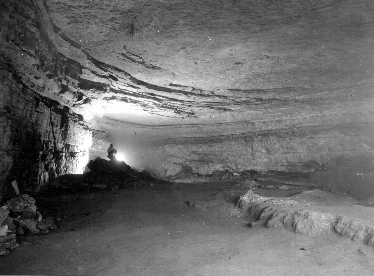
Mammoth Cave did not form overnight. Roughly 330 million years ago, thick layers of Mississippian-aged limestone—interspersed with dolomite, siltstone, and shale—were deposited in what was then a shallow marine environment. Fossil evidence scattered through these strata confirms that the Kentucky landscape we know today was once the floor of an ancient sea. Capping this sedimentary stack sits the Big Clifty Sandstone, a comparatively hard layer that has shielded the caves below from rapid erosion. Where the sandstone thins or cracks, groundwater seeps through, dissolving tiny conduits in an epikarstic zone and concentrating runoff into high-elevation springs along ridge edges. That water resurges briefly before sinking again at the sandstone-limestone contact, where the massive limestone layers begin. It is within those deeper limestone beds that the human-explorable passages developed. Water first reached the Girkin Formation around ten million years ago, while the uppermost cave corridors took shape roughly 3.2 million years ago. The famous Main Cave passage, visible on the Historic Tour, sits precisely at the boundary between the Girkin and the Ste. Genevieve Limestone.
A System That Keeps Growing
As of 2025, surveyors have mapped more than 426 miles of passageways within the Mammoth–Flint Ridge Cave System, a figure that exceeds the runner-up, Mexico's Ox Bel Ha underwater cave, by more than fifty percent. The system earned its dual name in 1972, when explorers confirmed a physical connection linking Mammoth Cave to the longer network threading beneath Flint Ridge to the north. That discovery redefined the cave's identity and cemented its claim as the longest known cave system on Earth. Yet the number is never static: new passages and connections are catalogued every year, adding several miles to the total. The park itself spans 52,007 acres, sitting primarily in Edmonson County with small extensions reaching into Hart and Barren counties. The Green River carves through the landscape, and just inside the park boundary the Nolin River feeds into it. Researchers continue to correlate the stratigraphy of the limestone layers with the explorer-produced cave surveys, enabling approximate three-dimensional maps of layer boundaries without the need for test wells or core samples.
Five Thousand Years of Footprints
Long before the park carried a federal designation, people had been entering these caves for at least five thousand years. Archaeological recoveries from Mammoth Cave and neighboring sites in the region, made during the nineteenth and twentieth centuries, have yielded multiple sets of Native American remains. Most were mummified individuals representing deliberate burials, offering rare windows into pre-Columbian funerary traditions. One find stood apart from the pattern of intentional interment. In 1935, workers uncovered the skeleton of an adult male trapped beneath a massive boulder that had shifted and settled on top of him. The man had been a pre-Columbian miner who disturbed the rubble propping the stone up. His remains, dubbed "Lost John," were displayed to the public for decades before being reinterred in a secret location in the 1970s. The park's modern legal history is equally layered: it became a national park on July 1, 1941, following protracted and contentious eminent-domain proceedings whose aftereffects still ripple through the surrounding community. Since then, it has been recognized as a World Heritage Site in 1981, a Biosphere Reserve in 1990, and an International Dark Sky Park in 2021.
Walking the Passages
Visitors to Mammoth Cave can choose from a range of underground experiences. The National Park Service operates lighted tours lasting anywhere from one to six hours, threading through iconic chambers such as Grand Avenue, Frozen Niagara, and Fat Man's Misery. For those who prefer a more atmospheric descent, two routes are illuminated solely by visitor-carried paraffin lamps, casting a warm, flickering glow across the limestone walls. Beyond the developed sections, "wild" tours push into muddy crawls and dusty tunnels where the cave feels raw and unscripted. One of the cave's most celebrated attractions, the Echo River Tour, once carried passengers by boat along an underground waterway; it was retired in the early 1990s for logistical and environmental reasons. Above ground, the park's headquarters and visitor center sit along Mammoth Cave Parkway, reachable directly from Interstate 65 at Exit 48, with Kentucky Route 70 approaching from the north and Route 255 from the south. The park's founding mission charges it to preserve, protect, interpret, and study the cave system, the karst forest, the Green and Nolin rivers, and the extensive record of human history, while also promoting public enjoyment and understanding.
Gallery

Frequently Asked Questions
What is Mammoth Cave National Park?
It is a U.S. national park in south-central Kentucky that protects the Mammoth–Flint Ridge Cave System, the longest known cave network on Earth. The park spans roughly 52,000 acres and was officially established on July 1, 1941.
Why did UNESCO designate it a World Heritage Site?
UNESCO recognized the park in 1981 because it preserves the world's longest surveyed cave system along with its surrounding karst geology. The site represents an outstanding example of natural processes that shaped a vast underground landscape over millions of years.
How long is the cave system inside the park?
As of 2025, more than 426 miles (about 686 km) of passageways have been mapped and surveyed within the Mammoth–Flint Ridge system. New passages continue to be discovered, so the total length keeps growing.
What other international designations does Mammoth Cave hold?
Beyond its World Heritage status, the park is also a UNESCO International Biosphere Reserve (since 1990) and an International Dark Sky Park. These triple honors reflect its significance for biodiversity, geological research, and nighttime sky preservation.
Where exactly is the park and how big is it?
The park sits primarily in Edmonson County in south-central Kentucky and covers approximately 52,007 acres (21,046 hectares). Its location in the karst region of the state makes it a key site for studying underground water systems and limestone geology.
More in Unesco World Heritage Parks 1-19
Spotted an error? Know more?
Reader corrections go straight into our review queue. Suggest an edit · How this site is sourced