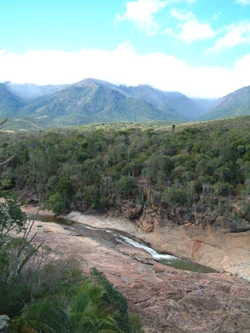
Andringitra National Park
Biodiverse park with Madagascar's second highest peak.

Chris · CC BY-SA 2.0
Andringitra National Park is a national park in the Haute Matsiatra region of Madagascar, 47 kilometers south of Ambalavao. Established in 1999 and managed by the Madagascar National Parks Association, it was inscribed as a World Heritage Site in 2007 as part of the Rainforests of the Atsinanana. The park covers 31,160 hectares and contains Madagascar's second highest mountain, Imarivolanitra (formerly Pic Boby), at 2,658 meters.
Quick Facts
- Iucn Category
- II
- Location
- Haute Matsiatra, Madagascar
- Nearest City
- Ambalavao
- Established
- 31 December 1927 (as nature reserve) / 8 October 1999 (as national park)
- Visitation Num
- 3,436
- Visitation Year
- 2011
- Governing Body
- Madagascar National Parks Association (PNM-ANGAP)
Facts from the source article.
Lore & Background
The importance of the area was noted by explorers in the early 20th century, and in 1927 the central part of the mountain range was declared a Strict Nature Reserve. During the early 1990s, the Malagasy Environmental Action Plan introduced the idea of Madagascar taking ownership of the environmental agenda, and in 1999 the area became a National Park. In 2007, the park became part of the Rainforests of the Atsinanana World Heritage Site.
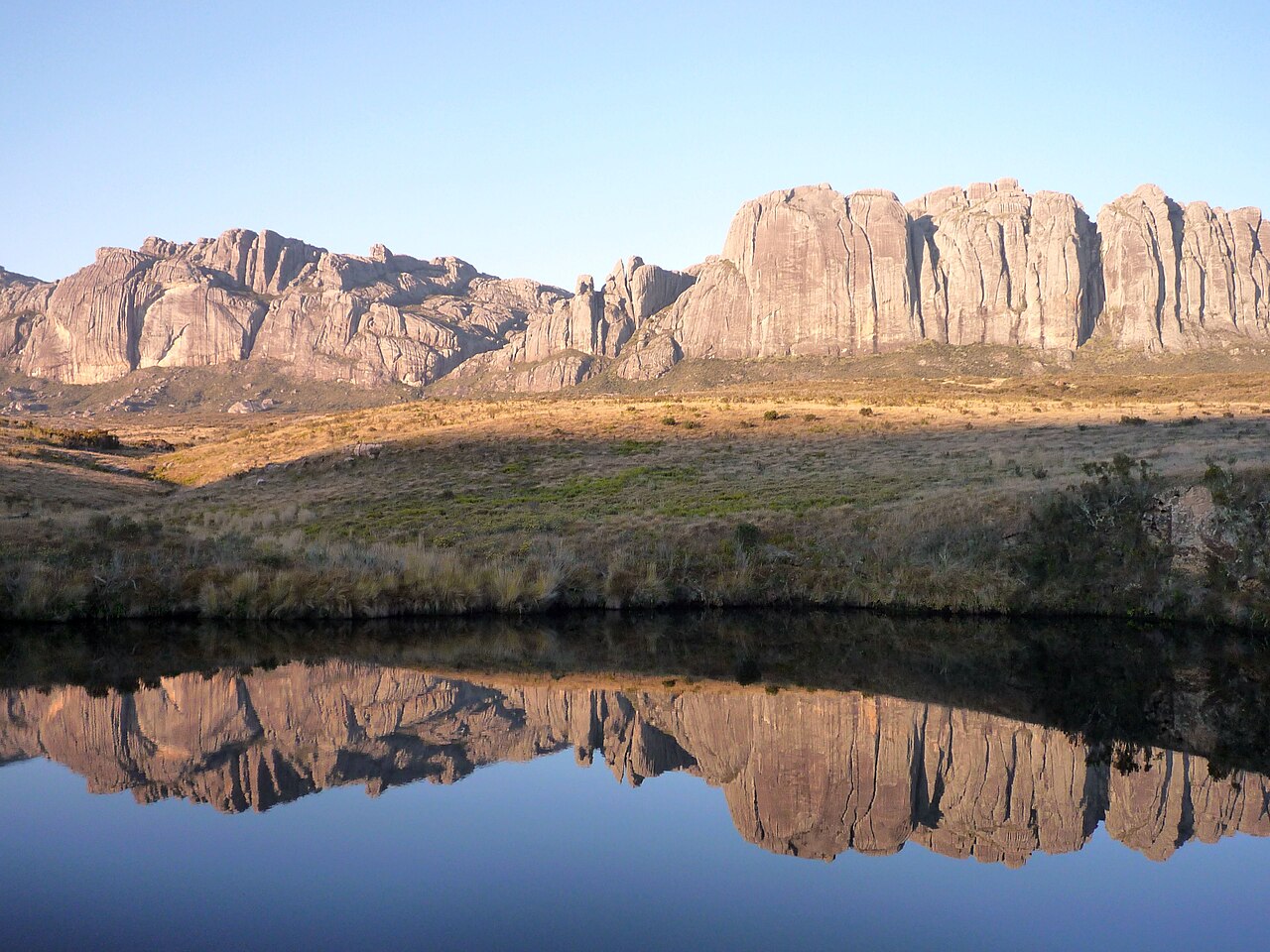
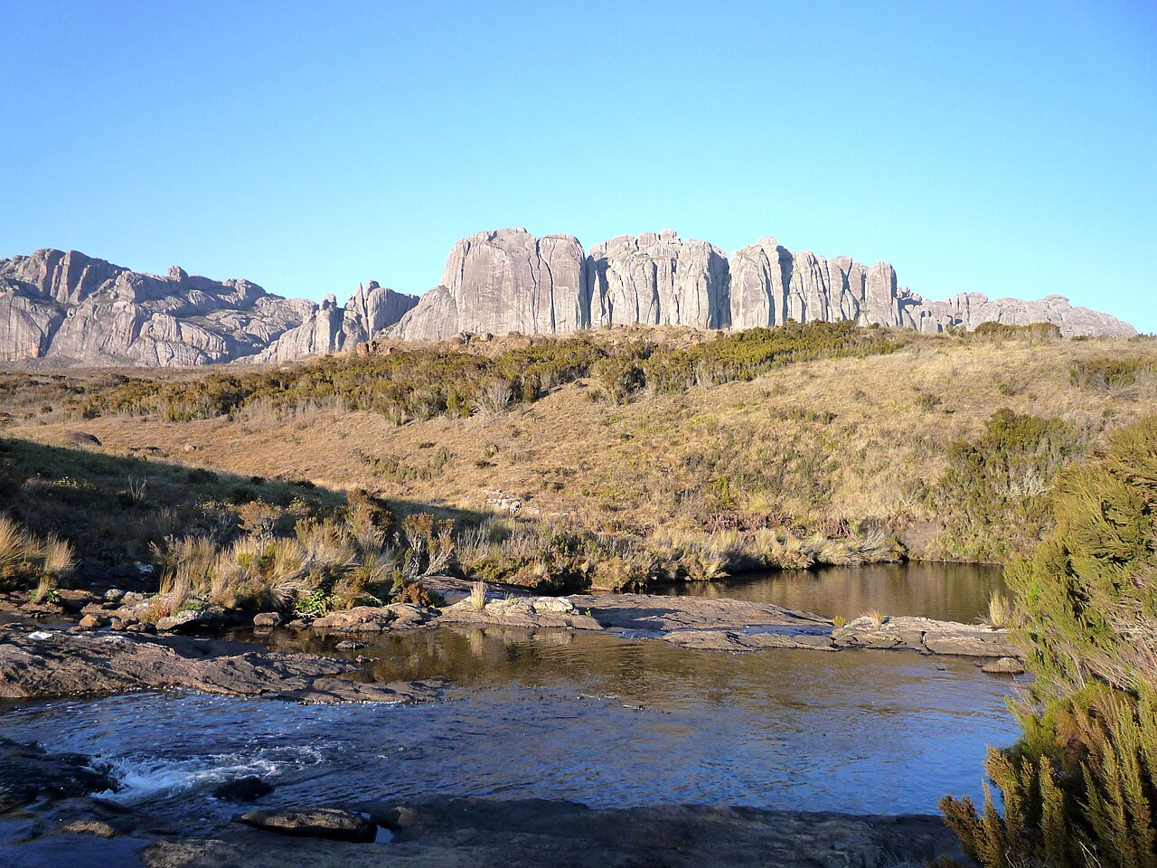
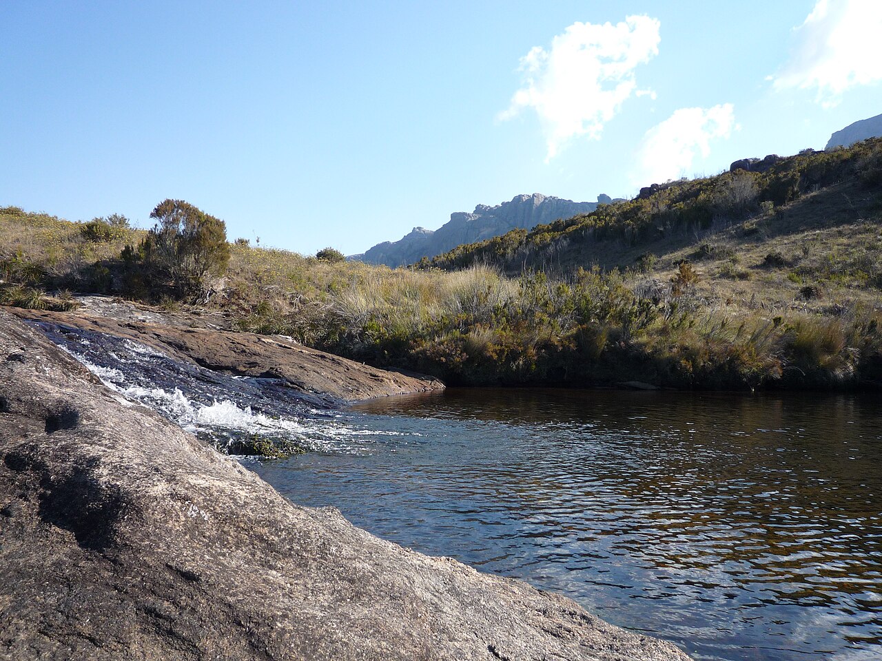
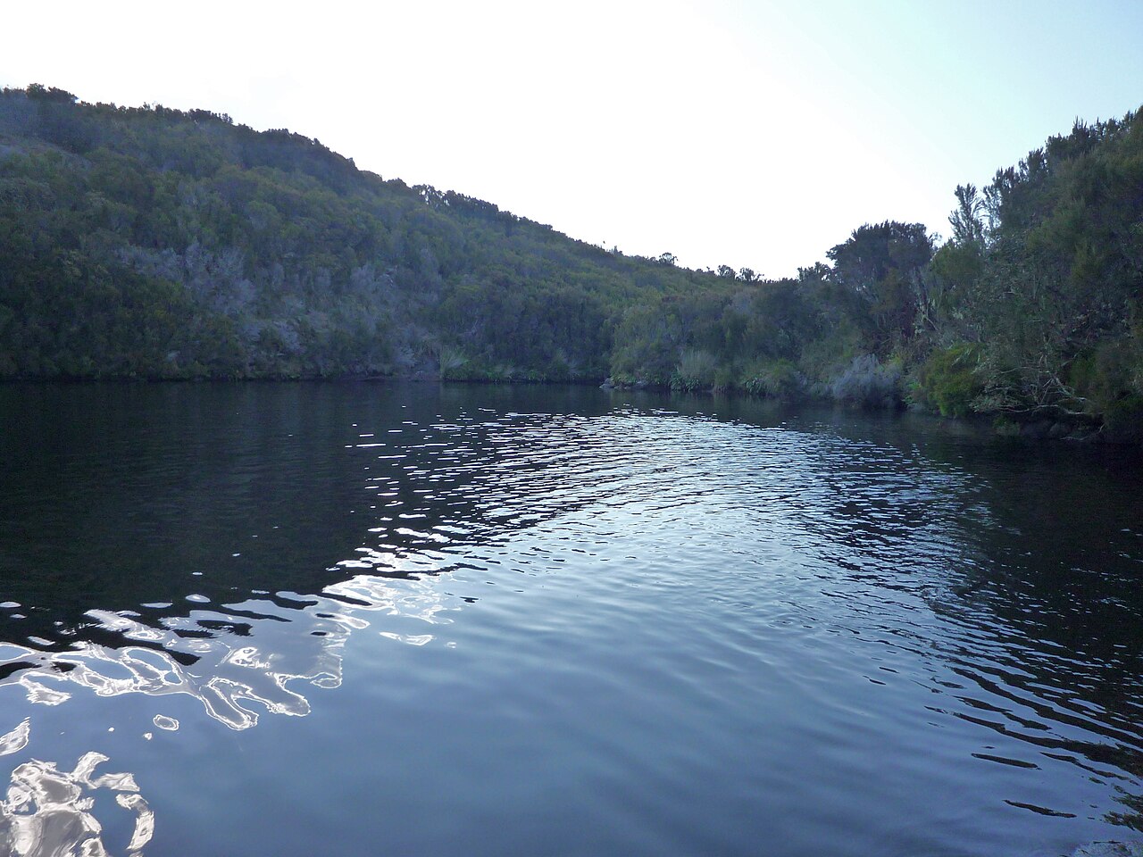
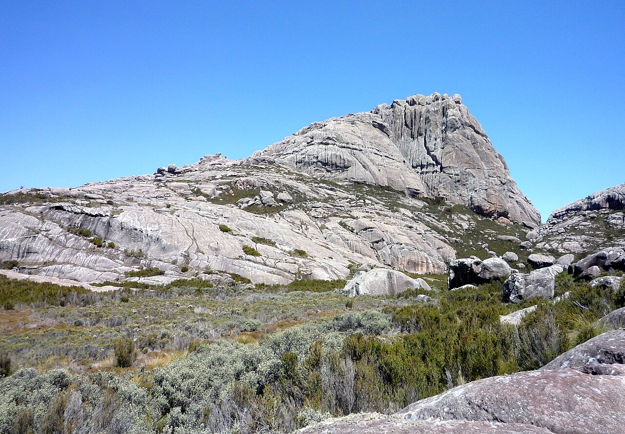
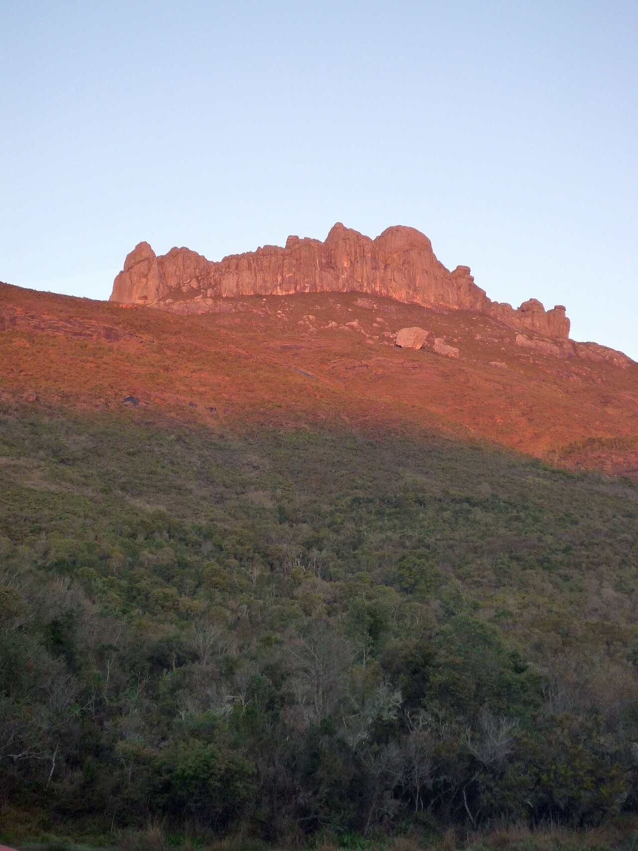
The reserve covers much of the granite massif of the Andringitra mountains, with altitudes ranging from 700 meters to the peak of Imarivolanitra. Mean annual rainfall is 1,500–2,500 millimeters, and snowfall occurs in some years. Madagascar's lowest recorded temperature, −11 °C (or −12 °C), was recorded here. Four rivers—the Ampanasana, Iantara, Menarahaka, and Zomandao—run through the reserve.
Three people groups inhabit the region: the Bara people graze cattle in the south and west, the Bara Haronga grow rice in the east, and the Betsileo people have developed an irrigation system on the mountain flanks of the north for rice cultivation.
Reader's Guide
Andringitra National Park is significant as one of the most biologically diverse places in Madagascar, with over one thousand species of plants, one hundred species of birds, fifty-five species of frogs, and thirteen species of lemurs. Its ring-tailed lemur population has notably thicker fur than the rest of the island's population, likely an adaptation to the colder climate at high altitudes. The park's eastern flank is covered with humid forest and humid grassland and scrub, while the western flank has relatively dry forest. As a World Heritage Site within the Rainforests of the Atsinanana, the park represents a critical conservation area for endemic species and a key site for understanding high-altitude adaptations in Madagascar's unique fauna.
From Explorer's Note to World Heritage Status
The story of Andringitra's protection stretches back to the early 1900s, when passing explorers first recognized the ecological significance of the granite massif in Madagascar's Haute Matsiatra region. By 1927, the central portion of the mountain range had been formally designated a Strict Nature Reserve, one of the earliest conservation designations in the country. A pivotal shift came in the early 1990s, when the Malagasy Environmental Action Plan championed the principle that Madagascar should steer its own environmental agenda rather than rely on foreign donors to set priorities. That philosophy bore fruit in 1999, when the area was elevated to full National Park status and placed under the stewardship of the Madagascar National Parks Association. Located roughly 47 kilometres south of the town of Ambalavao, the park reached its most celebrated milestone in 2007, when UNESCO inscribed it as part of the Rainforests of the Atsinanana World Heritage Site, acknowledging the irreplaceable biodiversity sheltered within its 31,160-hectare boundary.
A Granite World of Extreme Altitudes
Andringitra's terrain is defined by a vast granite massif that towers dramatically above the surrounding plains, creating one of Madagascar's most striking topographical profiles. The park's 31,160 hectares span an extraordinary vertical range, from a base elevation of roughly 700 metres up to the summit of Imarivolanitra—formerly known as Pic Boby—at 2,658 metres, making it the second-highest peak on the island. This dramatic altitude gradient produces a climate unlike anywhere else in Madagascar: mean annual rainfall falls between 1,500 and 2,500 millimetres, and snowfall is not unheard of in certain years. Indeed, the coldest temperature ever recorded in the country, a frigid minus 8 degrees Celsius, was measured within the park's boundaries. Four rivers—Ampanasana, Iantara, Menarahaka, and Zomandao—thread through the landscape, carving valleys and sustaining the ecosystems that depend on their flow. The combination of cold, altitude, and moisture creates microclimates that support habitats found nowhere else on the island.
A Living Museum of Endemic Life
Few places on Earth pack as much biological variety into a single protected area as Andringitra. The park shelters more than one thousand species of plants, around one hundred species of birds, and fifty-five species of frogs, all within its 77,000-acre boundary. Mammal diversity is equally impressive, with over fifty species documented, including thirteen distinct species of lemur. The contrast between the park's two flanks is striking: the eastern slopes are draped in humid forest that gives way to grassland and scrub at higher elevations, while the western side supports a comparatively dry forest. Among the park's most fascinating residents is the ring-tailed lemur, whose population here has evolved noticeably thicker fur than lemurs found elsewhere on Madagascar. Researchers attribute this adaptation to the colder conditions that prevail at the massif's high altitudes, offering a vivid example of how geography can drive subtle but meaningful evolutionary change in a single species across a relatively short distance.
Three Peoples, Three Ways of Life
Within the park's boundaries, three distinct human communities have developed livelihoods shaped by their specific positions on the massif. In the southern and western sectors, the Bara people maintain a pastoral tradition, herding cattle across the savannah, through the valleys, and along the ridgelines. To the east, the Bara Haronga practice rice cultivation, working the land in a manner suited to their particular terrain. On the northern mountain flanks, the Betsileo people have engineered an irrigation system that channels water down the slopes to sustain their rice paddies—a remarkable feat of traditional hydraulic engineering in a high-altitude environment. These three groups coexist within the same protected landscape, each adapting their agricultural and pastoral practices to the microclimates and topography of their chosen zone. Their presence underscores that Andringitra is not merely a wilderness reserve but a living cultural landscape where human ingenuity and natural ecology have been intertwined for generations.
Gallery
Frequently Asked Questions
Where is Andringitra National Park located in Madagascar?
It sits in the Haute Matsiatra region of southern Madagascar, roughly 47 kilometers south of the town of Ambalavao.
What is the highest peak inside Andringitra National Park?
The park is home to Imarivolanitra (also known by its former name, Pic Boby), which rises to 2,658 meters and is the second-highest mountain on the island of Madagascar.
When was Andringitra National Park established and who manages it?
The park was created in 1999 and is overseen by the Madagascar National Parks Association.
Is Andringitra National Park a UNESCO World Heritage Site?
Yes, it received World Heritage inscription in 2007 as part of the broader 'Rainforests of the Atsinanana' listing.
How large is the Andringitra National Park area?
The protected zone spans approximately 31,160 hectares, roughly 77,000 acres of highland and montane forest habitat.
More in National parks of Madagascar 1-24
Spotted an error? Know more?
Reader corrections go straight into our review queue. Suggest an edit · How this site is sourced