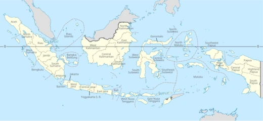
North Sumatra
Province in northern Sumatra, fourth most populous in Indonesia.

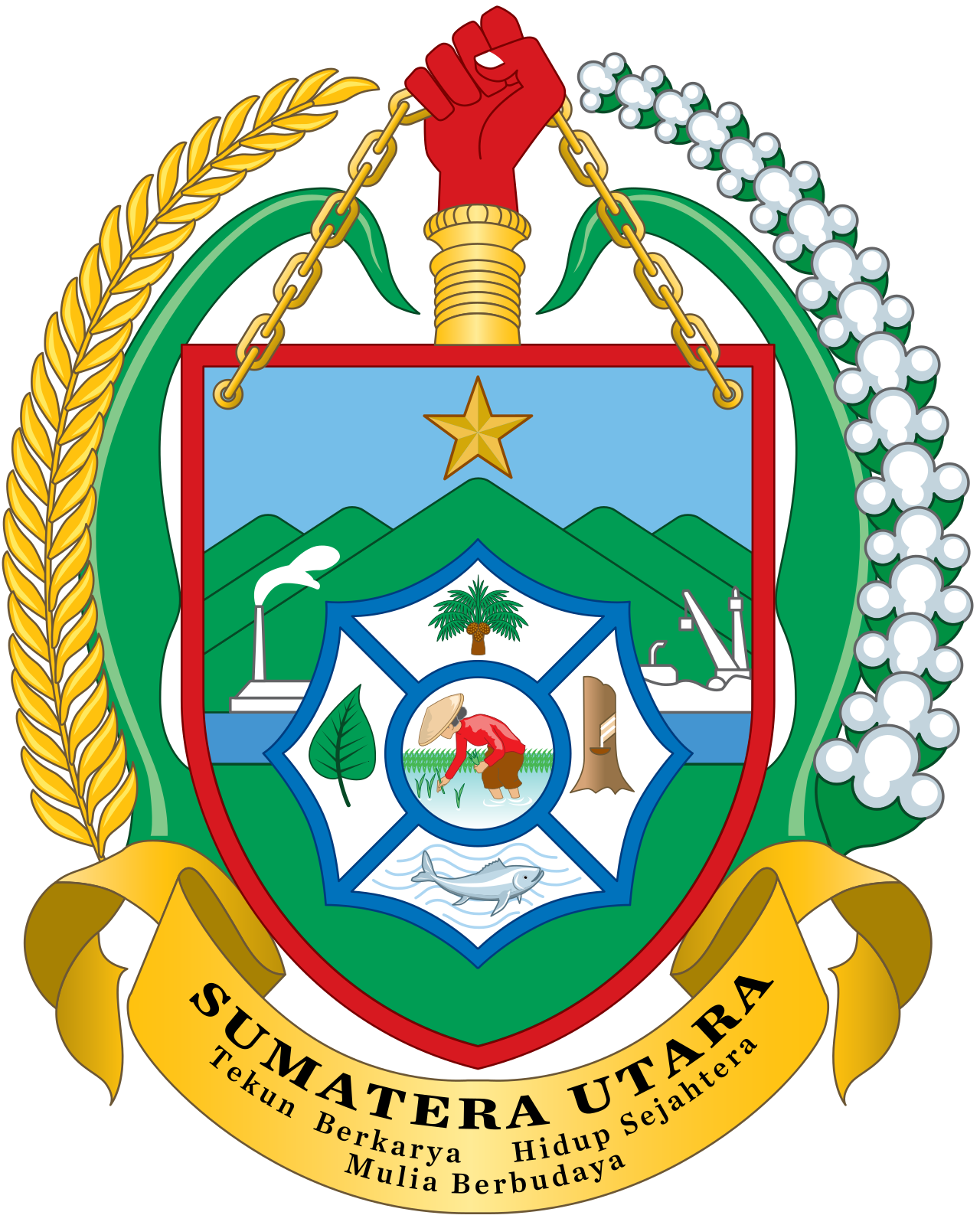
Gunawan Kartapranata redrawed from official emblem from Government of Indonesia · Public domain
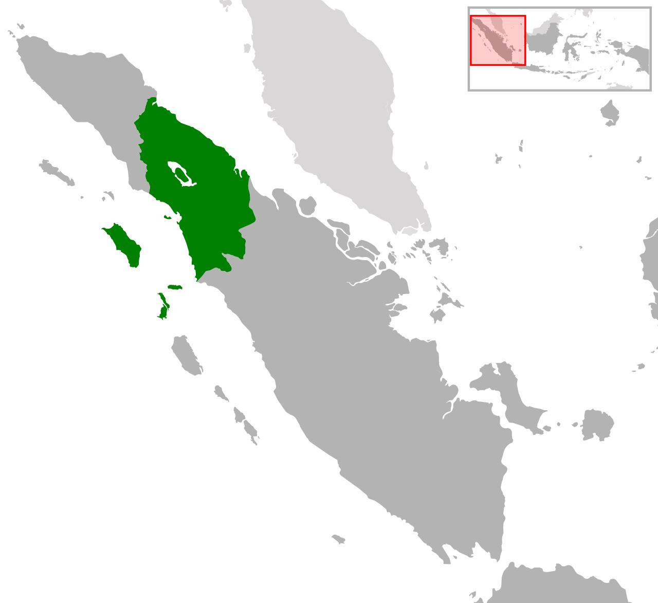
North Sumatra is a province in the northern part of the Indonesian island of Sumatra. Its capital and biggest city is Medan, located on the island’s east coast. The province shares borders with Aceh to the northwest, Riau to the southeast, and West Sumatra to the south. Its western edge meets the Indian Ocean, while its eastern side faces the Strait of Malacca, where it shares a maritime boundary with Malaysia.
With a population of about 14.8 million in 2020 and an estimated 15.8 million by mid-2025—growing by roughly 200,000 people each year—North Sumatra ranks as Indonesia’s fourth most populous province and the most populous one outside of Java. In terms of area, it covers 72,437.755 square kilometers (27,968.374 square miles), making it the third-largest province on Sumatra, after South Sumatra and Riau. The main ethnic groups include the Malay people, native to the east coast; various Batak groups, who are indigenous to the west coast and central highlands; the Nias people of Nias Island and its nearby islets; and Chinese, Javanese, and Indian communities, whose ancestors first moved to Sumatra during the Dutch colonial period.
The province is home to the Toba supervolcano, which now lies beneath Lake Toba. This volcano erupted about 74,000 to 75,000 years ago—a VEI-8 event—and caused a severe population bottleneck in early human populations, though it did not wipe out nearly all of humanity. The eruption created Lake Toba. During Dutch rule, North Sumatra was part of the *Gouvernement van Sumatra*, headquartered in Medan, but this administration did not govern the entire island; Aceh, for instance, was administered separately as the *Gouvernement van Atjeh en Onderhoorigheden*. After Indonesia declared independence, the province of Sumatra was split into three sub-provinces in 1948, each with the authority to manage its own affairs. April 15 is now celebrated as the anniversary of the founding of North Sumatra province.
**History**
**Prehistoric era**
Archaeologists know less about the earliest peoples of North Sumatra than about those in nearby regions. Prehistoric artifacts found here suggest the oldest inhabitants may have been Austronesian or Melanesian. Evidence points to their spread during the Mesolithic period (Middle Stone Age). They moved eastward to parts of Indonesia and Papua, and westward to North Sumatra and the Malay Peninsula.
Quick Facts
- Native Name
- id · Sumatera Utara
- Official Name
- Province of North Sumatra / id · Provinsi Sumatera Utara
- Shield Link
- Armorial of Indonesia#Provincial
- Shield Size
- 100
- Established Title
- Established
- Established Date
- 15 April 1948
- Seat Type
- Capital / and largest city
- Seat
- Medan
- Governing Body
- North Sumatra Provincial Government
- Leader Title
- Governor
Facts from the source article.
Lore & Background
North Sumatra is home to the Toba supervolcano, located in what is now Lake Toba, which erupted 74,000–75,000 years ago, causing a severe population bottleneck in early human populations but not wiping out nearly all of humanity. The supereruption resulted in the creation of Lake Toba and was rated a VEI-8 eruption. During Dutch rule, North Sumatra was administered under the Gouvernement van Sumatra, headquartered in Medan, but this government did not govern the entire island; Aceh was administered separately as the Gouvernement van Atjeh en Onderhoorigheden, and other parts of Sumatra had different administrative structures. In 1948, after Indonesian independence was proclaimed, Sumatra Province was divided into three sub-provinces, each of which had the right to regulate and manage its own affairs. The 15th of April was later designated as the anniversary of the founding of the province of North Sumatra.
Reader's Guide
North Sumatra's significance lies in its demographic weight as the most populous province outside Java, its rich ethnic diversity including Malay, Batak, Nias, Chinese, Javanese, and Indian peoples, and its geological importance as the site of the Toba supervolcano eruption, one of the most powerful volcanic events in Earth's history. The province's history includes early Austronesian and Melanesian settlement, the rise of kingdoms such as Aru and the Batak kingdoms, and later colonial influence from the Dutch and British. The region's strategic location on the Strait of Malacca made it a hub for trade and cultural exchange. The legacy of the Toba eruption, which created Lake Toba and dramatically affected human population, remains a key point of scientific and historical interest. North Sumatra's administrative evolution from part of the Gouvernement van Sumatra to a separate province in 1948 reflects broader post-independence reorganization in Indonesia.
Did You Know?
- The province's capital Medan was the administrative center of the Gouvernement van Sumatra during Dutch rule.
- Major ethnic groups include Malay, several Batak groups, Nias, Chinese, Javanese, and Indian peoples.
Gallery


Frequently Asked Questions
Who is North Sumatra?
North Sumatra is a province occupying the northern stretch of Sumatra island in Indonesia, with Medan on the east coast serving as both its capital and largest city. It sits between Aceh to the northwest, Riau to the southeast, and West Sumatra to the south, while its western coastline opens onto the Indian Ocean and its eastern shore looks out across the Strait of Malacca toward Malaysia.
What is North Sumatra's role in Indonesia?
As the fourth most populous province in the country, North Sumatra functions as a major demographic and economic hub for northern Sumatra. Its strategic position along the Strait of Malacca gives it a key maritime gateway role, sharing a sea boundary with Malaysia and connecting trade routes between the Indian Ocean and the Pacific.
How big is North Sumatra?
The province spans roughly 72,438 square kilometres of land. In terms of people, it held around 14.8 million residents as of the 2020 census and is projected to reach approximately 15.8 million by mid-2025, gaining roughly 200,000 new inhabitants every year.
Who lives in North Sumatra?
The province is home to a notably diverse mix of ethnic communities, with Malay, Batak, Nias, Chinese, Javanese, and Indian groups all forming significant parts of the population. This cultural patchwork makes North Sumatra one of Indonesia's most ethnically layered provinces.
Where exactly is North Sumatra located?
It occupies the northernmost portion of Sumatra island, bordered by the Indian Ocean on the west and the Strait of Malacca on the east. To the landward sides it touches Aceh in the northwest, Riau in the southeast, and West Sumatra directly to the south.
More in Indonesian Provinces 1-19
Spotted an error? Know more?
Reader corrections go straight into our review queue. Suggest an edit · How this site is sourced