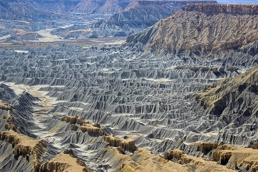
Meander
Sinuous stream-channel curves built by bank erosion and sediment deposition.

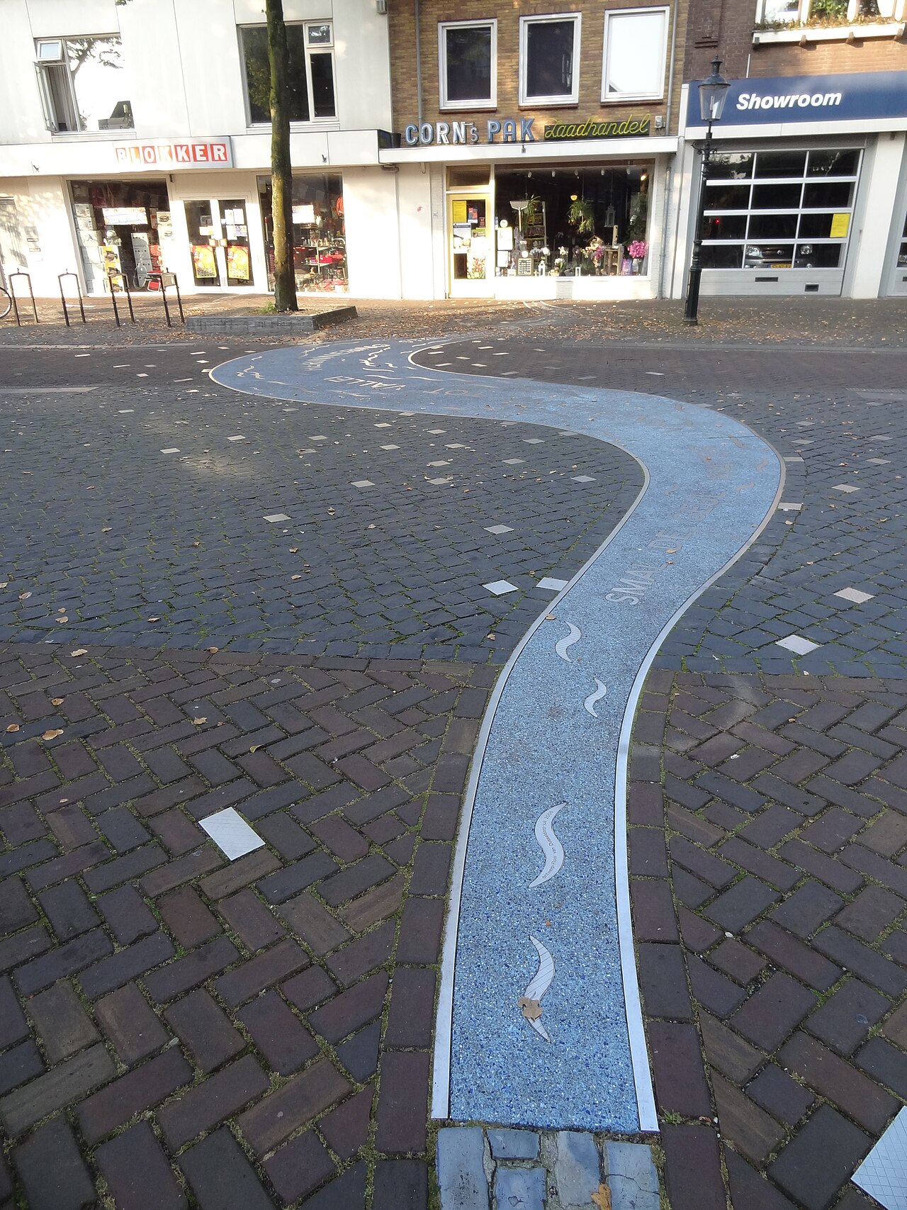
Willem Nabuurs · CC BY-SA 3.0
Watch a stream crossing a floodplain and you'll see it stitching back and forth along the axis of that plain, carving a set of regular sinuous curves into its own channel. That's a meander: the watercourse gnaws at the outer, concave bank, dumps that sediment onto the inner, convex bank, and the whole channel lurches sideways again and again. The word itself comes from Asia Minor's river Menderes — Μαίανδρος to the Ancient Greeks — and it has drifted into everyday English as a catch-all noun for anything convoluted and winding.
- Field
- Geomorphology, Fluvial Hydrology
- Known for
- Sinuous curves in stream channels; self-intensifying erosion and deposition process
- Key measure
- Sinuosity (ratio of channel length to straight-line down-valley distance) of 1.5 or more defines meandering streams
- Meander belt width
- 15 to 18 times the channel width
- Meander length
- 10–14 times (average 11 times) the fullbank channel width
Lore & Background
A meander is produced as a watercourse erodes the outer, concave bank (cut bank) and deposits sediments on the inner, convex bank (point bar). The result is a sinuous course as the channel migrates across the floodplain. The zone within which a meandering stream shifts its channel is the meander belt, typically 15 to 18 times the channel width. Over time, meanders migrate downstream, sometimes creating civil engineering challenges for roads and bridges.
The governing physics involve helicoidal flow: water moves from the outer to the inner bank along the bed, then flows back to the outer bank near the surface. This increases sediment carrying capacity on the outer bank and reduces it on the inner bank, causing erosion on the outer bank and deposition on the inner bank. Secondary flow dominates over irrotational flow in meander formation. Albert Einstein suggested in 1926 that Coriolis forces might trigger meanders, but these are likely insignificant compared to other forces.
Meander geometry is characterized as an irregular waveform. The meander length (wavelength) averages 11 times the fullbank channel width, and the radius of curvature at the apex averages 4.7 times the channel width. The thalweg, or line of maximum depth, hugs the outer banks and returns to center over riffles. Once a channel follows a sinusoidal path, helical flow creates a positive feedback loop: greater curvature results in more erosion, increasing sinuosity until cutoff events occur.
Reader's Guide
Meanders are a fundamental geomorphological feature of rivers and streams, representing a self-organizing process in which flowing water shapes its own channel through coupled erosion and deposition. Their significance extends beyond physical geography into civil engineering, as meander migration can threaten infrastructure such as roads and bridges. The concept of sinuosity—the ratio of channel length to straight-line down-valley distance—provides a quantitative measure, with values of 1.5 or more defining meandering streams.
The study of meander geometry has yielded empirical relationships, such as meander length being 10–14 times channel width, which aid in river management and floodplain planning. The term itself has entered common language, meaning anything convoluted or winding, originating from the ancient Greek name for the River Menderes. The physics of meander formation, involving helicoidal flow and secondary flow dominance, illustrates how fluid dynamics interacts with sediment transport to create complex, repeating patterns. While Albert Einstein proposed a role for Coriolis forces, the primary drivers are local pressure gradients and centrifugal forces within the boundary layer. Meanders thus serve as a classic example of how small-scale physical processes can produce large-scale landscape features.
Did You Know?
- The term 'meander' derives from the winding River Menderes in Asia Minor, known to the Ancient Greeks as Μαίανδρος.
- The meander belt within which a stream shifts its channel typically ranges from 15 to 18 times the width of the channel.
- The sinuosity of a watercourse is the ratio of channel length to straight line down-valley distance; streams with sinuosities of 1.5 or more are defined as meandering.
The Physics of Bending Water
Meanders emerge from a delicate interplay between flowing water and the streambed beneath it. When a current navigates a curved channel, the sidewalls generate a pressure gradient that redirects the fluid along the bend. Two competing processes then take hold: irrotational flow, which per Bernoulli's principles would produce lower velocity on the outside of the curve and higher velocity on the inside, and secondary flow, which ultimately dominates in natural streams. Near the bed, a thin boundary layer brings fluid velocity to near zero, nullifying centrifugal force while leaving pressure force intact. This imbalance drives water along the bottom from the outer bank toward the inner bank, initiating what is called helicoidal flow. The result is a spiral motion: water spirals inward at the surface and outward near the bed. Higher velocities at the outer bend generate greater shear stress, carving away sediment, while the calmer inner bend drops its sediment load. This coupled erosion-and-deposition cycle is the engine that continuously reshapes the channel into its characteristic sinuous path.
A Name Carved by an Ancient River
Stand in the lower reaches of the Menderes river — what is now western Turkey, south of Izmir and east of the old Greek city of Miletus — and the word explains itself. The Greeks called it Maiandros, and that lower stretch was so absurdly, relentlessly convoluted that the name escaped the river and became the default term for anything winding or intricate. Strabo noted the cultural hop plainly: the course was so exceedingly winding that people started slapping "meandering" on everything else. Geologically, the river threads through three graben within the Menderes Massif, and its lower floodplain sprawls far wider than the active meander belt you can see on a satellite image. Over centuries the word broke out of geomorphology into decorative arts, rhetoric, philosophy — "meandering" became shorthand for elaborate scrollwork, digressive speeches, tangled argument. One river in Asia Minor ended up shaping how a whole civilization talks about complexity, curvature, and the quiet appeal of a roundabout path.
Measuring the Curve: Geometry and Sinuosity
The formal description of a meandering watercourse is known as meander planform geometry, and it treats the channel as an irregular waveform superimposed on a straight down-valley axis. This axis is fitted so that the sum of all amplitudes measured from it equals zero, representing the stream's overall direction. Where the sinuous centerline crosses this axis, two consecutive crossing points define a single meander loop, and a pair of consecutive loops pointing in opposite transverse directions constitutes one full meander. The distance along the down-valley axis between crossings is the meander length or wavelength, while the maximum lateral deviation is the meander width or amplitude, with the point of greatest deviation called the apex. Unlike a mathematical sine wave, natural meander loops tend toward circularity, with curvature peaking at the apex and dropping to zero at the inflection points where the channel briefly runs straight. The degree of this winding is quantified by sinuosity—the ratio of channel length to straight-line down-valley distance—and a single-channel stream with a sinuosity of 1.5 or greater is formally classified as meandering.
Migration, the Meander Belt, and Human Infrastructure
A meandering stream does not hold still. Over time, its bends migrate downstream as the coupled process of outer-bank erosion and inner-bank deposition steadily shifts the channel across the floodplain. The zone within which this periodic channel shifting occurs is called the meander belt, and it typically spans fifteen to eighteen times the channel's bankfull width. This lateral wandering is not merely a geological curiosity; it poses genuine engineering headaches for local municipalities that must keep roads, bridges, and other infrastructure stable against a river that is quietly rewriting its own course. In some cases the migration is fast enough to threaten structures within a human planning horizon. Eventually, when a meander loop grows sufficiently elongated, a cutoff event can occur, severing the neck of the bend and abandoning the old channel as an oxbow. The river then straightens locally, only for the sinuous growth to resume downstream, perpetuating the cycle that has shaped floodplains for millennia.
Gallery
Frequently Asked Questions
What is a meander in geomorphology?
A meander refers to the repeating S-shaped bends that develop in a river's path as it flows across a floodplain. These curves arise from a continuous cycle where the outer bank gets worn away while sediment piles up on the inner bank, causing the channel to shift side to side over time.
How does a meander form?
The process is self-reinforcing: as water flows around a bend, it erodes the concave outer bank and drops sediment on the convex inner bank. This feedback loop gradually amplifies the curve, making the river's path increasingly sinuous as it migrates laterally across its floodplain.
Where does the word 'meander' come from?
The term traces back to the winding Menderes River in what is now western Turkey, which the Ancient Greeks called Μαίανδρος. Over time the name generalized into a common noun for any tortuous, winding path.
How do geomorphologists define and measure a meandering stream?
A stream is classified as meandering when its sinuosity—the ratio of its actual channel length to the straight-line distance along the valley—reaches 1.5 or higher. This single metric lets researchers distinguish meandering channels from straight or only slightly sinuous ones.
What are the typical dimensions of a meander?
A full meander loop stretches roughly 10 to 14 times the bank-to-bank width of the channel, with an average around 11 times. The entire meander belt—the zone over which the channel migrates—spans about 15 to 18 times the channel width.
More in Geomorphology 1-24
Spotted an error? Know more?
Reader corrections go straight into our review queue. Suggest an edit · How this site is sourced