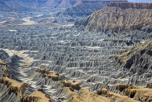
Land reclamation
Creating new land from water bodies for human use.

Fabian Horst · CC BY-SA 4.0
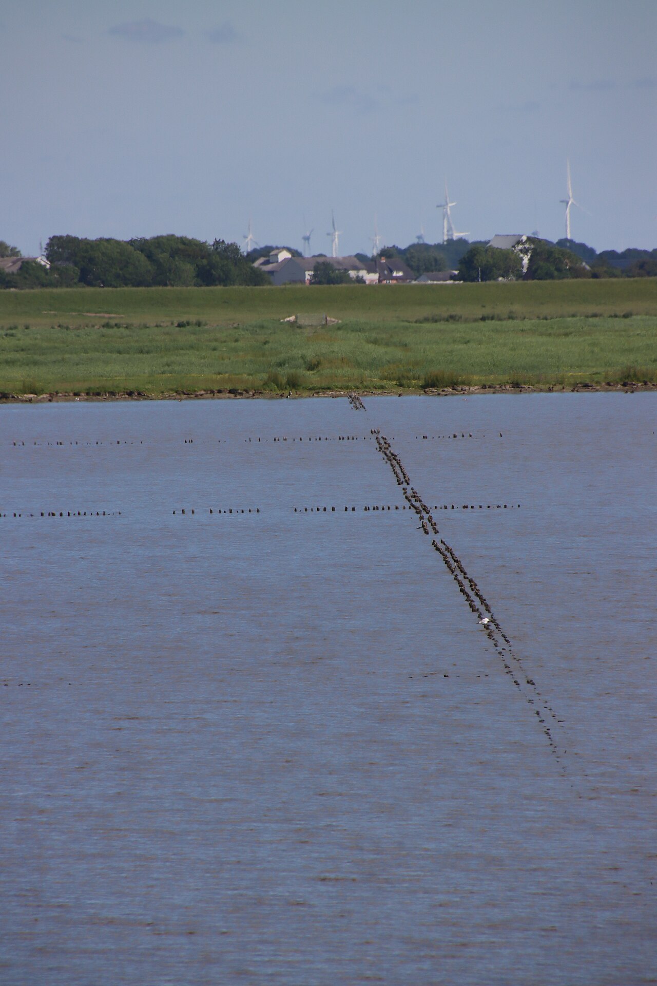
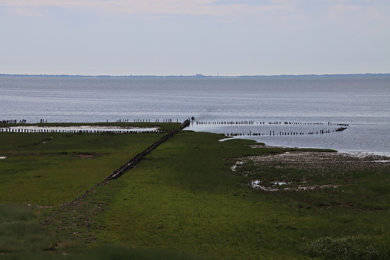
Land reclamation, also known as reclamation or land fill, is the process of creating new land from oceans, seas, riverbeds, or lake beds. The resulting land is called reclamation ground, reclaimed land, or land fill. This practice has been used for millennia to expand usable territory for agriculture, urban development, and infrastructure.
- Earliest known example
- Ancient Egypt, Twelfth Dynasty (c. 2000–1800 BC)
- Common methods
- Infilling, draining of submerged wetlands, deep cement mixing, land dredging
- Notable early project
- Beemster Polder, Netherlands (1612, 70 sq km)
- Major modern example
- Singapore (25% size increase from 1960 to 2019)
- Key purpose
- Creating new land for agriculture, housing, airports, and coastal protection
Lore & Background
Land reclamation has ancient roots. In Egypt, the Twelfth Dynasty (c. 2000–1800 BC) built levees and canals to divert water from the Bahr Yussef into the Faiyum, gradually evaporating Lake Moeris to create farmland. A similar system using dams and drainage canals appeared in the Greek Copaic Basin during the Middle Helladic Period (c. 1900–1600 BC). Later, the Beemster Polder in the Netherlands added 70 square kilometers of land in 1612.
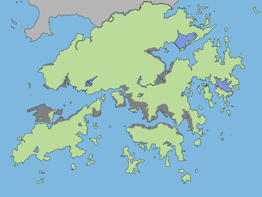
In Asia, Hong Kong's Praya Reclamation Scheme added 20–24 hectares in 1890, one of the most ambitious colonial projects. About 20% of Tokyo Bay has been reclaimed, including Odaiba artificial island. Mumbai's Seven Islands were joined over 150 years using projects like Hornby Vellard and Colaba Causeway. Singapore increased its land area by 25% from 1960 to 2019, with ongoing projects like Long Island to combat rising sea levels.
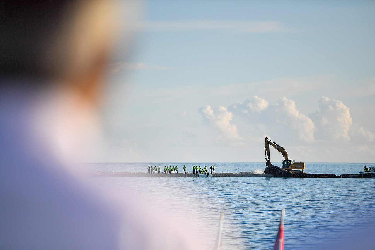
Methods include infilling with rock, clay, and dirt; draining wetlands; deep cement mixing for contaminated sites; and dredging to remove sediments. Notable reclaimed areas include the Fens in England, much of the Netherlands, Monaco's Fontvieille, and parts of Rio de Janeiro and Wellington.
Reader's Guide
Land reclamation has profoundly shaped coastlines and urban geography worldwide. From ancient Egyptian levees to modern Singaporean expansions, it addresses land scarcity for agriculture, housing, and infrastructure. The practice carries environmental implications, as seen in the Yellow Sea where nearly 65% of tidal flats have been reclaimed, and in Malaysia's Forest City project, which sparked controversy over wetland loss. Reclamation enables major airports (Kansai, Incheon, Nagoya Centrair), artificial islands (Palm Islands, The World), and entire city districts (Beirut Central District, Colombo International Financial City). It also protects against rising sea levels, as with Singapore's Long Island project. However, it requires careful management of sedimentation, contamination, and ecological impact. The technique remains vital for densely populated coastal nations, balancing development needs with environmental stewardship.
Did You Know?
- Nearly 65% of tidal flats around the Yellow Sea have been reclaimed.
- Singapore's land area increased by 25% from 581.5 sq km in 1960 to 725.7 sq km in 2019.
- The Praya Reclamation Scheme in Hong Kong added 20 to 24 hectares of land in 1890.
Geography and Physical Landscape
Scotland's mainland divides into three broad zones. The Highlands dominate the north and north-west, making it the most mountainous area in the entire British Isles, crowned by Ben Nevis at 4,413 feet. The Lowlands stretch as a flatter plain through the centre, while the Southern Uplands form a hilly belt along the border with England. The western coastline is deeply indented, giving rise to numerous saltwater inlets that share the name "loch" with the freshwater lakes scattered throughout the Highlands. The island geography is equally varied: Mull and Skye are mountainous, whereas Tiree and Coll present a much flatter profile. The country is bordered by the Atlantic to the north and west, the North Sea to the east, and the Irish Sea to the south-west, with the Hebrides and Northern Isles forming key archipelagos. Edinburgh serves as capital, while Glasgow holds the title of largest city. In 2022, roughly 5.4 million people called this territory home.
Ancient and Prehistoric Roots
The earliest confirmed human presence in Scotland dates to around 14,500 to 14,000 years ago, when late Upper Paleolithic hunter-gatherers of the Hamburgian culture produced stone tools shortly after the retreating ice sheet cleared the land. Neolithic farming communities arrived roughly 6,000 years later, leaving behind remarkably preserved settlements such as Skara Brae on the Orkney mainland. In the Northern and Western Isles, the absence of trees meant most structures were built from local stone, which paradoxically aided their long-term preservation. Sites like the Callanish Stones on Lewis and Maes Howe on Orkney, both dating to the third millennium BC, reveal sophisticated pre-Christian belief systems. The first written mention of the region comes from the Greek sailor Pytheas in 320 BC, who named Britain's northern tip "Orcas," a designation that persists in the Orkney Islands to this day.
Roman Encounters and Shifting Frontiers
Roman involvement in Scotland was brief and ultimately incomplete. The first incursion came in 79 AD under Agricola, who defeated a Caledonian force at Mons Graupius in 83 AD. Roman forts were briefly established along the Gask Ridge near the Highland line, yet within three years the armies had pulled back to the Southern Uplands. By the reign of Trajan, Roman control had retreated to a line between the River Tyne and the Solway Firth, where Hadrian's Wall was erected as the empire's northern boundary. The Antonine Wall, built from 142 under Antoninus Pius, pushed the frontier northward between the Firth of Clyde and the Firth of Forth. A later Severan campaign in 208 to 210, triggered by Caledonian treaty violations, ended in failure as Roman forces became mired in punishing guerrilla warfare and the senior emperor Septimius Severus died at York. Despite the lack of permanent conquest, Roman influence on southern Scotland was considerable, including the introduction of Christianity.
Political Evolution and Cultural Identity
The Kingdom of Scotland emerged as a sovereign state in the 9th century, maintaining independence from England partly through a strategic alliance with France. In 1603, James VI inherited the English and Irish thrones, creating a personal union of the three kingdoms. A full political merger followed on 1 May 1707, when Scotland and England combined to form the Kingdom of Great Britain, subsuming the Scottish Parliament into the new body. Devolution returned in 1999 with the re-establishment of a Scottish Parliament of 129 members across 73 constituencies, granting authority over many domestic policy areas under a government headed by the first minister. Scotland retains its own distinct legal system, education system, and religious history. Linguistically, Scottish English and Scots form a dialect continuum, while Scottish Gaelic, rooted in the Latin "Scoti" for the Gaels, now has fewer than 2% native speakers concentrated largely in the Hebrides, though state-sponsored revitalisation has grown a community of second-language learners.
Gallery
Frequently Asked Questions
Who is Land reclamation?
Land reclamation is the geomorphological practice of generating new usable terrain by filling in or draining portions of oceans, seas, riverbeds, or lakes. The resulting surface is commonly referred to as reclaimed land, reclamation ground, or land fill.
What are Land reclamation's powers/role?
Its primary techniques include infilling, draining submerged wetlands, deep cement mixing, and land dredging to raise terrain above water level. These methods allow communities to expand territory for agriculture, housing, airports, and coastal defense.
When did Land reclamation first appear?
The earliest documented instance dates to Ancient Egypt during the Twelfth Dynasty, roughly 2000–1800 BC. One of the most celebrated early large-scale projects is the Beemster Polder in the Netherlands, completed in 1612 and covering about 70 square kilometres.
Why is Land reclamation important?
It has served for millennia as a key strategy for creating additional arable land, urban space, and infrastructure where natural land is scarce. Singapore, for example, grew its total land area by roughly 25 percent between 1960 and 2019 through sustained reclamation efforts.
More in Geomorphology 1-24
Spotted an error? Know more?
Reader corrections go straight into our review queue. Suggest an edit · How this site is sourced