Lake Khanka
Ancient border lake rich in fish, birds, and historical cartography.

Neux-Neux · CC BY-SA 3.0
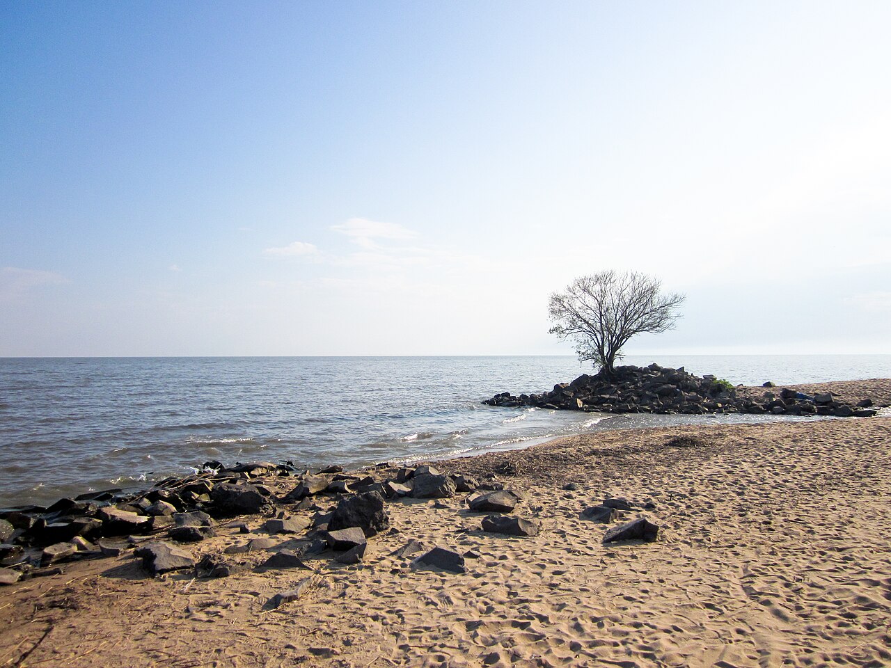
Lake Khanka, also called Lake Xingkai, sits on the border between Russia’s Primorsky Krai and China’s Heilongjiang province. It is the largest lake in Primorsky Krai, shaped like a pear with a wider northern end. Its surface area shifts with the climate, ranging from about 3,940 to 5,010 square kilometers. The lake is roughly 90 kilometers long and up to 67 kilometers wide. It is shallow, averaging 4.5 meters deep, with most areas just 1 to 3 meters deep and a maximum depth of 10.6 meters. Its average volume is 18.3 cubic kilometers, though it can reach 22.6 cubic kilometers. The water is cloudy due to frequent winds that stir it up. On average, about 1.94 cubic kilometers of water flow in each year, while 1.85 cubic kilometers flow out. Twenty-four rivers feed the lake, but only one—the Songacha River—drains it, connecting to the Ussuri and then the Amur River system. On the northern, Chinese shore, a narrow sandy spit separates the main lake from a smaller body called Lake Small Khanka. The lake freezes from the second half of November until April.
The lake is ancient and rich in fish and bird species, which is reflected in its old name Khankai-Omo, meaning “Sea of bird feathers.” In the Middle Ages, its fish supplied the tables of Chinese and Jurchen emperors. Explorer Nikolay Przhevalsky visited in 1868 and left descriptions of the area’s plants and animals. Vladimir Arsenyev made his first expedition there in 1902. In 1935, a clash between Soviet and Japanese troops occurred west of the lake, the first in the series of Soviet-Japanese border conflicts from 1935 to 1939.
The lake’s name has appeared on maps in many forms. On a 1706 Delisle map, it was called Himgon, with a river labeled Usurou and Ousuri. A 1739 map by Johann Matthias Hase named it Lake Hinka, with the river called Ousoury and Schur. On a 1752 d’Anville map, it was Hink, with the river Songhachan flowing into the Usuri. An 18th-century map of the Irkutsk governorate showed the river from Lake Hinka as the Usuri. The 1860 map attached to the Convention of Peking showed two lakes: the larger Oz. Khankai, glossed as “quiet,” and the smaller Oz. Dobiku, with a Manchu transliteration. The river from the big lake was labeled Uzhu and Sungachan. A 1861 map by M. Popov called the larger lake Kengka and the smaller Ai’-Kengka, with the additional name Siauhu (from Chinese Xiaohu, meaning “Small Lake”). An 1864 map by A.F. Budishchev named it Khinkai (Singkai). An ethnographic map by Shrenk used the abbreviated Russian names Oz. Khanka and Oz. Mal. Khanka. Vladimir Arsenyev wrote that in the Liao Dynasty, the lake was called Beitsin-hai, but later known as Khanka, Khinkai, and Sinkai-hu, meaning “Lake of Prosperity.” He suggested the name Khanka might come from the word khanhai, meaning “hollow,” which the Chinese used for low places, and that Russians later changed it to Khanka.
In Shen Kuo’s *Dream Pool Essays*, a passage describes an unidentified flying object seen near Xingkai Lake during the reign of Emperor Renzong (1022–1063). According to Shen, a man near the lake observed a bright object that opened, releasing intense light like sunbeams. The object appeared as large as a bed, with a fist-sized pearl inside glowing silvery white. The light was too strong for human eyes and cast shadows of trees within ten miles, resembling a rising Sun. The object then took off and descended onto the lake like a setting Sun. A poet named Yibo wrote about this “pearl,” and people in Yangzhou built a “Pearl Pavilion” where they gathered by boat hoping to see it.
Quick Facts
- Other Name
- Lake Xingkai
- Location
- Primorsky Krai, Russia / Heilongjiang, China
- Outflow
- Songacha River
- Countries
- People's Republic of China, Russia
- Length
- 90 km
- Area
- 4070 km2
- Depth
- 4.5 m
- Max Depth
- 10.6 m
- Volume
- 18.3 km3
- Residence Time
- 9.9 yrs
- Shore
- 308 km
- Elevation
- 68 m - 70 m
Facts from the source article.
Lore & Background
Lake Khanka appears under various names on historical maps: as Himgon on a 1706 Delisle map, as Lake Hinka on a 1739 map by Johann Matthias Hase, and as Hink on a 1752 d'Anville map. An 1860 map attached to the Convention of Peking shows two lakes: Oz. Khankai (glossed as 'quiet') and Oz. Dobiku. Later maps by M. Popov (1861) and A.F. Budishchev (1864) record names such as Kengka and Khinkai (Singkai). Explorer Vladimir Arsenyev noted that in the Liao Dynasty the lake was called Beitsin-hai, and that the name Khanka likely originated from the word 'khanhai,' meaning 'hollow.'
Reader's Guide
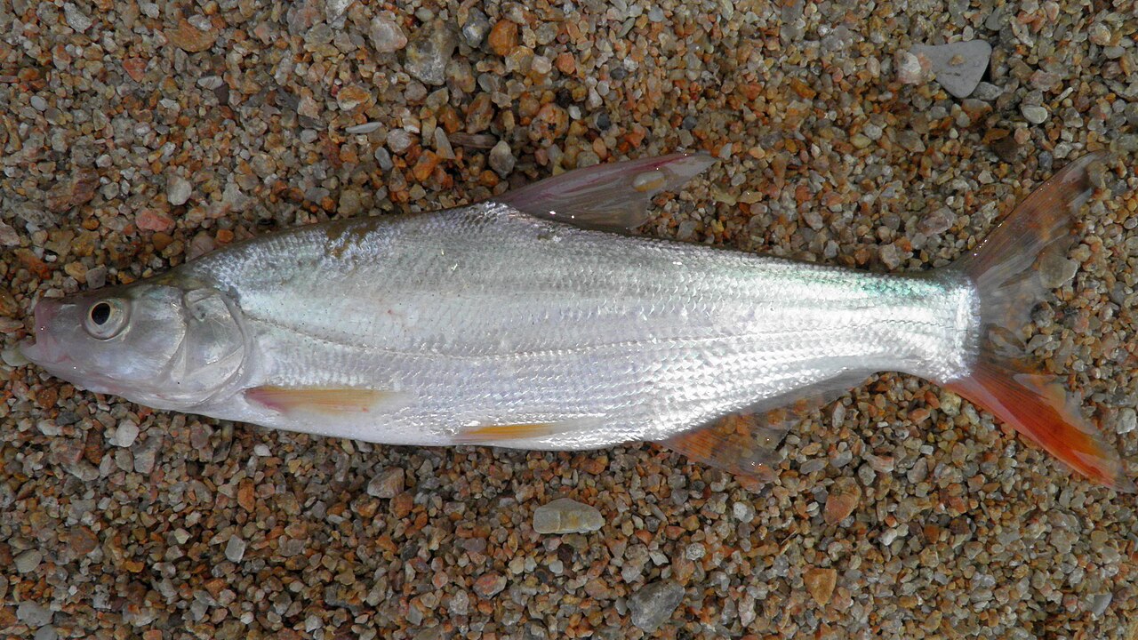
Lake Khanka holds significance as a natural and historical landmark. Its wetlands were designated of international importance under the Ramsar Convention in 1971, and the Khanka Nature Reserve was established in 1990. In 1996, Russia and China signed an agreement to create an international reserve around the lake. The lake is shallow, with an average depth of 4.5 meters, and its water is cloudy due to frequent winds. It hosts 52 species of fish, including carp, perch, and catfish, and is an important area for endangered bird species. The lake was also the site of the 1935 Lake Khanka incident, an early clash in the Soviet-Japanese border conflicts. In popular culture, the lake appears in Akira Kurosawa's 1975 film 'Dersu Uzala.'
Did You Know?
- Lake Khanka has a residence time of 9.9 years.
- The lake freezes in the second half of November and thaws in April.
Place in the Global Ranking
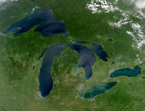
The threshold that separates the world's great lakes from the merely large is a surface area of roughly 3,000 square kilometres, a boundary that deliberately excludes reservoirs and lagoons from consideration. Within this framework, Lake Khanka occupies a position among the terrestrial bodies of water that have earned a place on the ranked list. The compilation draws on multiple sources for its twenty largest entries, acknowledging that precise area figures can shift slightly depending on which reference is consulted. This is not a static catalogue; it is a snapshot of a dynamic global hydrology, where a lake's standing can drift as water levels rise or fall. For readers encountering Khanka in this context, the ranking serves as a coordinate—a way to situate one body of water against its peers across every continent. The list deliberately leaves out seasonal and ephemeral waters, ensuring that only persistent, conventionally recognized lakes compete for a slot.
The Definition Dilemma
One of the most consequential decisions in any lake ranking is how to define what counts as a lake in the first place. Under the conventional approach, the Caspian Sea claims the title of the world's largest lake, yet it sits atop a fragment of the ancient Tethys Ocean rather than resting entirely on continental crust like every other entry on the list. A geological reading reclassifies the Caspian as a small ocean and removes it, while simultaneously merging Lake Michigan and Lake Huron into a single hydrological entity—the true largest lake by surface area under that lens. These definitional choices ripple through the entire ranking, reshuffling which bodies of water appear and in what order. For a lake like Khanka, the practical effect is modest, but the philosophical question is profound: does the name we give a body of water determine its identity, or does the water itself? The two parallel lists—one conventional, one geological—acknowledge that the answer is not settled.
The Living Waterline
No lake is a fixed shape. Surface areas breathe with the seasons and shift from one year to the next, a reality that makes any single measurement a temporary portrait rather than a permanent fact. The effect is most dramatic in salt lakes trapped in arid climates, where evaporation and rainfall can swing a water body between vastness and near-disappearance. This is precisely why the ranking list excludes seasonal lakes such as Kati Thanda–Lake Eyre, Mar Chiquita, Chott el Djerid, Lake Torrens, and the Great Salt Lake, all of which can swell to thousands of square kilometres before shrinking back. For a reader studying Khanka, the implication is that the area cited in any given source is a moment in a longer story. Water levels respond to climate, to upstream flow, to the particular year's rainfall, and the number on the page is only as good as the day it was measured.
Giants That Faded
The roster of the world's largest lakes is not immune to loss. The Aral Sea, once the third-largest lake on Earth at roughly 68,000 square kilometres, has contracted so severely that it no longer holds its former rank. Lake Chad, which at its peak covered about 26,000 square kilometres, has similarly slipped out of the top tier. Lake Urmia offers a more recent and starker example: from a maximum of 5,200 square kilometres, it shrank to roughly one-tenth of that size by 2017, though a restoration effort has since nudged the water level back upward. These cases remind us that a lake's place on a ranked list is contingent, not permanent. The broader context in which Khanka is catalogued is one of a living, changing hydrological world, where the boundaries between large and larger are redrawn with every passing decade.
Gallery
Frequently Asked Questions
Where is Lake Khanka and what makes its location unique?
Lake Khanka sits directly on the border between Primorsky Krai in Russia and Heilongjiang province in northeastern China, so neither country fully owns it. It is the largest lake within Primorsky Krai and carries the alternate Chinese name Lake Xingkai.
Why is Lake Khanka nicknamed the 'Sea of bird feathers'?
The old name Khankai-Omo translates to 'Sea of bird feathers,' a vivid reference to the enormous variety and density of waterfowl that historically gathered on its shores. That same biodiversity, spanning both fish and bird species, is what has driven ongoing conservation efforts around the lake.
How large and deep is Lake Khanka?
The lake covers roughly 5,010 square kilometers of surface area, yet it is quite shallow, averaging 4.5 meters in depth and reaching at most 10.6 meters. Its broad, flat basin gives it a distinctly different character from deep, narrow alpine lakes.
What river carries water out of Lake Khanka?
The Songacha River is the sole outflow, channeling the lake's freshwater downstream. Because the lake is relatively shallow and wide, even modest changes in inflow or evaporation can shift water levels noticeably along its extensive shoreline.
Why has Lake Khanka been a flashpoint in border history?
Straddling the Russia–China frontier, the lake has repeatedly appeared in cartographic disputes and diplomatic negotiations over exactly where the boundary line runs through its waters. Its strategic position and rich natural resources have kept it in the public eye for well over a century.
More in Great Lakes Of The World 1-24
Spotted an error? Know more?
Reader corrections go straight into our review queue. Suggest an edit · How this site is sourced