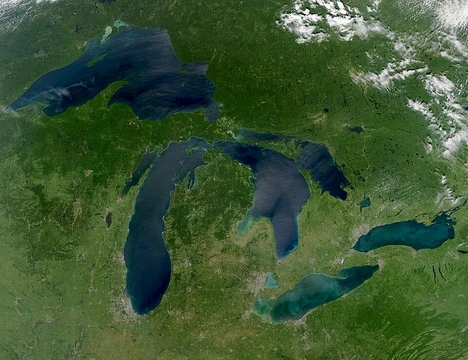
Lake Chapala
Mexico's largest natural freshwater lake, a vital but threatened ecosystem.

Borys bond · CC0
Lake Chapala (Spanish: Lago de Chapala) is Mexico's largest freshwater lake, located on the border between the states of Jalisco and Michoacán, approximately 45 kilometers southeast of Guadalajara. It has been a critical water source for the Guadalajara region since the 1950s and is known for its ecological significance, including habitat for migratory birds and endemic species, as well as its role as a destination for international retirees.
Quick Facts
- Location
- Jalisco / Michoacán, Mexico
- Inflow
- Río Lerma, Río Zula, Río Huaracha, Río Duero
- Outflow
- Río Grande de Santiago
- Countries
- Mexico
- Length
- 80 km
- Area
- 1100 km2
- Depth
- 7 m
- Max Depth
- 10.5 m
- Volume
- 8.1 km3
- Elevation
- 1524 m
- Islands
- 3
Facts from the source article.
Lore & Background
Lake Chapala has always been Mexico's largest natural freshwater lake. It is a shallow lake with a mean depth of 7 meters and a maximum of 10.5 meters, and its age has been established at 10,000–12,000 years through scientific studies. The lake is fed by several rivers, including the Río Lerma, and its outflow via the Rio Grande de Santiago has occurred intermittently, including during wet years like 2010–2011.
The lake's water level has fluctuated dramatically. After a period of decline in the 1970s, the level rebounded until 1979, then began rapidly decreasing due to increased urban water consumption. Erosion from deforestation has led to sedimentation, and warmer temperatures have increased evaporation. Pollution from municipal, industrial, and agricultural sources, primarily via the Lerma River, has caused ecological damage, including a decline in fish stocks and the threat of extinction for some endemic species like certain Chirostoma. The lake was named the Global Nature Fund's 'Threatened Lake of the Year' in 2004.
Despite improvements from water treatment plants, the water quality was assessed as a risk to public health in 2017. The lake is a critical habitat for migratory birds, including the American white pelican, and hosts many endemic species such as the rough-footed mud turtle subspecies chapalaense and the Mexican garter snake subspecies obscurus. The lake also contains three small islands, including Isla Mezcala, which features an old Spanish fort and an old Mexican prison.
Reader's Guide
Lake Chapala's significance lies in its role as Mexico's largest freshwater lake and a primary water source for the Guadalajara metropolitan area since the 1950s. Its ecological importance is underscored by its designation as a critical habitat for migratory birds and a refuge for numerous endemic species, including fish, crayfish, and reptiles. However, the lake has faced severe environmental challenges, including water level decline, pollution, and invasive species like water hyacinth, leading to the endangerment of native fish and posing health risks to local communities. The lake's decline and partial recovery have drawn scientific and public concern, exemplified by its 2004 'Threatened Lake of the Year' designation. Additionally, Lake Chapala has become a significant destination for international retirees, particularly from the United States and Canada, with an estimated 30,000 foreign residents living along its shores, contributing to the region's cultural and economic landscape. The lake's fluctuating water levels and ongoing contamination issues highlight the complex interplay between human use and ecological sustainability.
Geography & Physical Character
Since the early 17th century, when the ancient Lake Texcoco dried up entirely, Lake Chapala has held the title of Mexico's largest freshwater body. Nestled at an elevation of 1,524 metres along the border between Jalisco and Michoacán, roughly 45 kilometres southeast of Guadalajara, it stretches approximately 80 kilometres from east to west and averages 12.5 kilometres north to south, encompassing around 1,100 square kilometres. Despite its impressive surface area, the lake is remarkably shallow, with a mean depth of just 7 metres and a maximum of 10.5 metres. Carbon-14 dating of wooden fragments buried in its sediments places its origin at roughly 38,000 years ago, anchoring it in the late Pleistocene epoch. Four rivers—Lerma, Zula, Huaracha, and Duero—feed its waters, while a fifth, the Rio Grande de Santiago, once carried overflow northwest toward the Pacific. That outflow has ceased for more than three decades as Lerma inflow has dwindled. Three small islands dot the surface, and a ring of sierras and cerros encloses the basin on every side.
Ecological Crisis & Water Quality
Guadalajara has drawn heavily on Lake Chapala for its municipal water needs since the 1950s, a dependency that set the stage for decades of environmental strain. After a brief recovery following years of poor rainfall, the lake's level entered a steep decline in 1979, driven largely by surging urban consumption. Deforestation along the shoreline and the Lerma River basin accelerated erosion, dumping sediment into the lake and further reducing its already modest depth. The shallower water warmed, which in turn boosted evaporation rates. Compounding these physical changes, municipal, industrial, and agricultural runoff—carried predominantly by the Lerma—introduced heavy nutrient loads that fueled explosive growth of invasive water hyacinth. Fish populations collapsed, and endemic species such as certain Chirostoma were pushed to the brink of extinction. Contaminated catches now threaten the health of communities that depend on the lake for food. The Global Nature Fund named it its Threatened Lake of the Year in 2004. Although levels rebounded somewhat by 2007–2008, they never regained their 1979 mark, and by July 2022 the lake held only 63.63 percent of capacity, down from 81.68 percent in 2018.
Biodiversity & Endemic Life
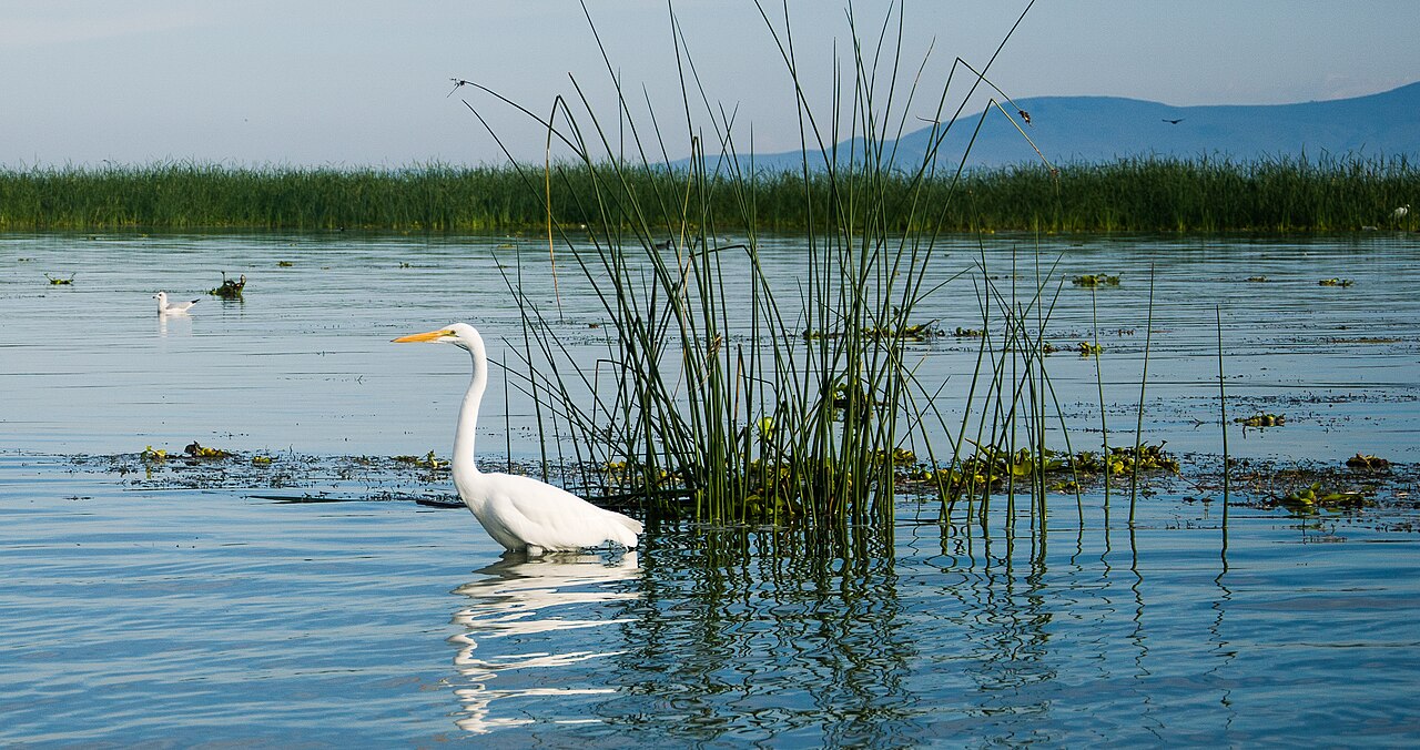
Despite its troubled water quality, Lake Chapala remains a refuge of extraordinary biological uniqueness. It serves as a critical stopover for migratory birds, including the American white pelican, and hosts thousands of native plant and animal species. The Audubonistas de Laguna de Chapala organize an annual Christmas Bird Count under the Audubon Society banner; records grew from 117 species in 2006 to 125 in 2007 and reached 173 by January 2011. The lake is the exclusive home of the chapalaense subspecies of the rough-footed mud turtle, while the semi-aquatic obscurus subspecies of the Mexican garter snake is likewise restricted to these waters. Its fish community includes the famous Chirostoma (charales) flock, several goodeid species, a handful of Algansea chubs, two Tetrapleurodon lampreys, two Ictalurus catfish, and the Chapala chub (Yuriria chapalae), many of which face serious threats. Four cambarid crayfish species—Cambarellus chapalanus, C. lermensis, C. prolixus, and Procambarus digueti—are found only in the lake and its connected river systems, underscoring how irreplaceable this single water body is for regional biodiversity.
Human Communities & the Retiree Legacy
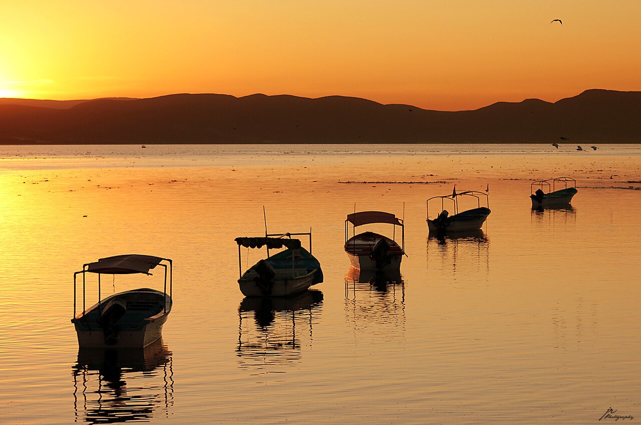
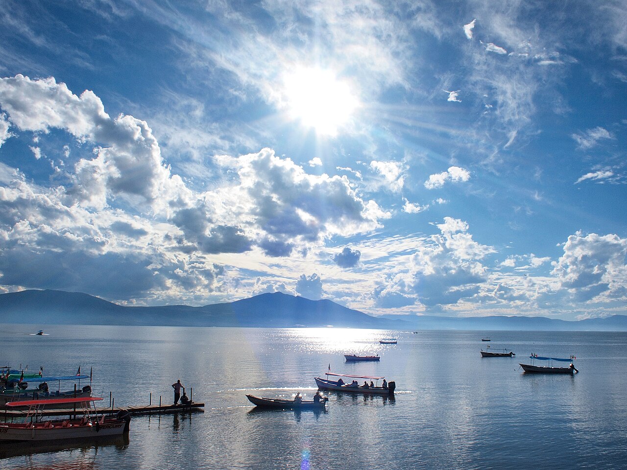
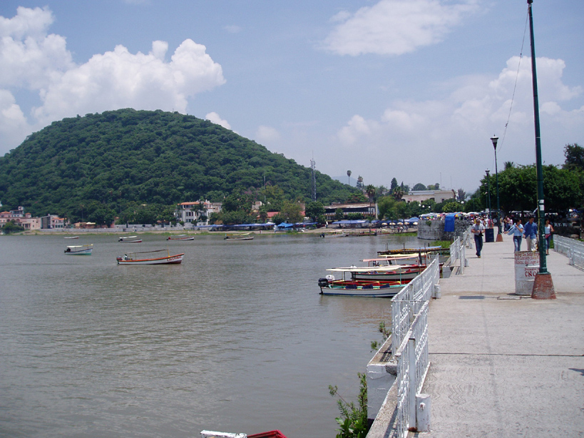
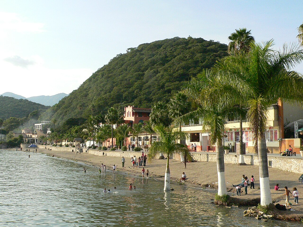
The shores of Lake Chapala have drawn outside visitors for centuries. According to Tony Burton's anthology of traveller's tales, Western interest dates back to the Spanish conquistadors who arrived uninvited in 1530. Organized tourism took root in the 19th century and gathered momentum in the early 1900s, but the transformation truly accelerated in the 1950s. Drawn by the mild climate and striking scenery, a large community of retirees—many from the United States and Canada—settled along the lake's edge, with the town of Ajijic, just west of Chapala, becoming the most prominent hub. Today, a string of towns lines the coast, including San Juan Tecomatlán, Jocotepec, San Luis Soyatlán, Mezcala de la Asunción, Tizapan El Alto, La Palma, and Ocotlán, spanning the municipalities of Ocotlán, Chapala, Jocotepec, Poncitlán, and Jamay in Jalisco, and Venustiano Carranza and Cojumatlán de Régules in Michoacán. The lake's dramatic water-level drops have also exposed long-buried political tensions among these communities, turning an environmental crisis into a social one.
Gallery

Frequently Asked Questions
Who is Lake Chapala?
Lake Chapala is Mexico's largest natural freshwater lake, sitting on the border of Jalisco and Michoacán roughly 45 km southeast of Guadalajara. It is a body of water roughly 10,000 to 12,000 years old, having formed at the close of the Pleistocene epoch.
What are Lake Chapala's powers and role in the world?
Since the 1950s it has served as the primary freshwater supply for the Guadalajara metropolitan area. Beyond that, it sustains migratory bird populations and hosts several endemic species, making it a linchpin of regional ecology.
How old is Lake Chapala and how did it come to be?
The lake dates to the end of the Pleistocene, placing its origin somewhere between 10,000 and 12,000 years ago. It is the largest natural freshwater lake in all of Mexico.
Why is Lake Chapala important to people and the planet?
It anchors the water security of millions in the Guadalajara region while also drawing international retirees who settle around its shores. Ecologically, it shelters migratory birds and endemic organisms, giving it a conservation value that extends far beyond its borders.
What is the current state of Lake Chapala's story?
Despite its size and importance, the lake is widely regarded as a threatened ecosystem facing pressure from urbanization, water extraction, and pollution. Its long-term survival depends on balancing the region's growing demand with the health of its wetlands and aquatic life.
More in Great Lakes Of The World 1-24
Spotted an error? Know more?
Reader corrections go straight into our review queue. Suggest an edit · How this site is sourced