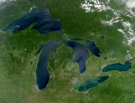
Great Slave Lake
Deepest lake in North America, tenth-largest by area.

incommunicado · CC BY-SA 2.0
Great Slave Lake is the second-largest lake in the Northwest Territories, Canada, the deepest lake in North America at 614 m (2,014 ft), and the tenth-largest lake in the world by area. It covers 27,200 km² in the southern part of the territory and has a volume of approximately 1,580 km³. The lake shares its name with the Dene people, who were called Slavey by their Cree enemies. Towns on the lake include Łutselk'e, Fort Resolution, Hay River, Yellowknife, and others. The lake was put on European maps during the fur trade in the late 18th century, after Samuel Hearne became the first European to reach it in 1771, and in the 1930s gold discoveries led to the establishment of Yellowknife, now the capital of the NWT.
Quick Facts
- Other Name
- Grand lac des Esclaves (French) / Tıdeè (Tłı̨chǫ Yatıì) / Tinde’e (Wıìlıìdeh Yatii/Tetsǫ́t’ıné Yatıé) / Tu Nedhé (Dëne Sųłıné Yatıé) / Tucho (Dehcho Dene Zhatıé)
- Location
- Northwest Territories
- Lake Type
- Glacial
- Inflow
- Hay River, Slave River, Taltson River, Lockhart River, Yellowknife River, Snare River (through Marian Lake and Frank Channel), Marian River (through Marian Lake and Frank Channel), Stark River
- Outflow
- Mackenzie River
- Catchment
- 971000 km2
- Countries
- Canada
- Length
- 469 km
- Area
- 27200 km2
- Depth
- 41 m
- Max Depth
- 614 m
- Volume
- 1115 km3
Facts from the source article.
Lore & Background
Indigenous peoples were the first settlers around Great Slave Lake after the retreat of glacial ice. Archaeological evidence reveals several cultural periods: Northern Plano tradition (8,000 years before present), Shield Archaic tradition (6,500 years), Arctic small tool tradition (3,500 years), and Taltheilei Shale tradition (2,500 years). Each left distinct lithic tools. The lake was named by European explorers via Cree traders, who referred to the Slavey people as Awokanek ('slaves'), leading to the French 'Grand lac des Esclaves' and later English 'Great Slave Lake'.
Reader's Guide
Great Slave Lake is significant as the deepest lake in North America and a major geographic feature of the Northwest Territories. Its waters drain via the Mackenzie River, and its basin supports rich aquatic life including lake whitefish, lake trout, and walleye, due to high nutrient levels from the Slave River and low pollution. The lake's East Arm contains the deepest recorded point (614 m) and is proposed for Thaidene Nene National Park Reserve. Historically, the lake was central to the fur trade and later to gold mining, which founded Yellowknife. In 1978, the Soviet satellite Kosmos 954 disintegrated over the area, scattering nuclear debris. In the late 2010s, suggestions arose to rename the lake to Tu Nedhé or Tucho, reflecting Indigenous names, due to the negative connotation of 'slave'. The lake also appears in popular culture, such as the TV series 'Ice Lake Rebels' and the survival show 'Alone'.
Did You Know?
- Great Slave Lake is the deepest lake in North America, with a maximum depth of 614 m (2,014 ft) in Christie Bay.
- The lake was named after the Slavey people, a Dene group called 'slaves' by the Cree.
- In 1978, the Soviet nuclear-powered satellite Kosmos 954 disintegrated over the Northwest Territories, scattering debris across a wide area that included the lake, and was recovered by a joint Canadian-U.S. operation.
- The lake is at least partially frozen for an average of eight months each year.
Physical Scale and Glacial Origins
Great Slave Lake commands a staggering physical presence in the southern Northwest Territories. Stretching 469 kilometres in length and varying from 20 to 203 kilometres in width, it covers roughly 27,200 square kilometres, making it the second-largest lake in the territory behind Great Bear Lake and the tenth-largest on Earth by surface area. What truly sets it apart is depth: at 614 metres in Christie Bay, it holds the title of deepest lake in all of North America. Its total volume, ranging from about 1,070 to 2,088 cubic kilometres depending on water levels, ranks it thirteenth globally. The lake's shape is far from uniform. The main western basin forms a moderately deep bowl averaging 32 metres, while the eastern McLeod and Christie Bays plunge dramatically deeper. This irregular shoreline, dotted with islands in the East Arm, is a remnant of the enormous glacial Lake McConnell that once flooded the region. The western shore is draped in forest, whereas the eastern and northern reaches give way to tundra, and the southern and eastern edges meet the ancient Canadian Shield.
Indigenous Roots and the Question of a Name
The waters of Great Slave Lake have witnessed human presence for at least eight thousand years, with archaeological layers revealing the Northern Plano, Shield Archaic, Arctic small tool, and Taltheilei Shale traditions, each distinguished by its own lithic tool styles. The Dene peoples, the lake's original stewards, were labelled "Slavey" by their Cree adversaries, who called them Awokanek, a word meaning "slaves." When French fur traders, working through Cree intermediaries in the mid-eighteenth century, first charted the waterway, they named it Grand lac des Esclaves, a label that stuck in English. Today, communities such as Łutselk'e, Fort Resolution, Hay River, Behchokǫ̀, Yellowknife, Ndilǫ, and Dettah line its shores, with Łutselk'e serving as the sole settlement in the East Arm, home to roughly 350 Chipewyan Dene. In the late 2010s, amid a broader movement to restore Indigenous placenames across the territory, educators and Dene leaders like Dëneze Nakehk'o argued the current name is a painful misnomer, proposing Tu Nedhé or Tucho as more fitting alternatives that honour the landscape's majesty.
Gold, Roads, and a Nuclear Close Call
The twentieth century reshaped the lake's periphery in dramatic ways. In the 1930s, gold strikes along the North Arm sparked the founding of Yellowknife, which would grow into the capital of the Northwest Territories. A decade later, Pine Point Mine and its company town took root on the south shore east of Hay River, though both are now abandoned. In 1960, an all-season highway was completed around the western shore, originally a spur of the Mackenzie Highway before earning its own identity as the Yellowknife Highway, or Highway 3. The lake also saw a far more dangerous visitor: on 24 January 1978, the Soviet radar reconnaissance satellite Kosmos 954, carrying an onboard nuclear reactor, broke apart on re-entry and scattered radioactive debris across the region. A joint Canadian and American military operation, dubbed Operation Morning Light, together with the U.S. Nuclear Emergency Support Team, scoured the area to recover fragments of the nuclear core. Even today, the Dettah ice road, a 6.5-kilometre seasonal crossing, links Yellowknife to the small First Nations fishing community of Dettah, a reminder that the lake remains both a lifeline and a barrier.
Living Waters and Fragile Balance
Fed by the Hay, Slave, Lockhart, and Taltson rivers and drained by the Mackenzie, Great Slave Lake sustains a remarkably rich aquatic ecosystem. The Slave River in particular delivers high nutrient loads, and because the lake has largely escaped pollution and invasive species, its fish populations thrive relative to the surrounding biome. Lake whitefish are the most abundant, followed by cisco and longnose sucker, while lake trout, inconnu, northern pike, walleye, burbot, ninespine stickleback, and shiner round out the community, alongside prevalent copepods. The lake is frozen for an average of eight months each year, a seasonal rhythm that is now shifting as climate change shortens ice coverage and pressures these species. Beyond the water, the surrounding plains host climax polygonal bogs with pioneer black spruce, and just south of the lake, in a remote corner of Wood Buffalo National Park, a remnant flock of whooping cranes nests on the Whooping Crane Summer Range, a site first identified in 1954.
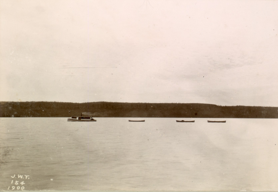
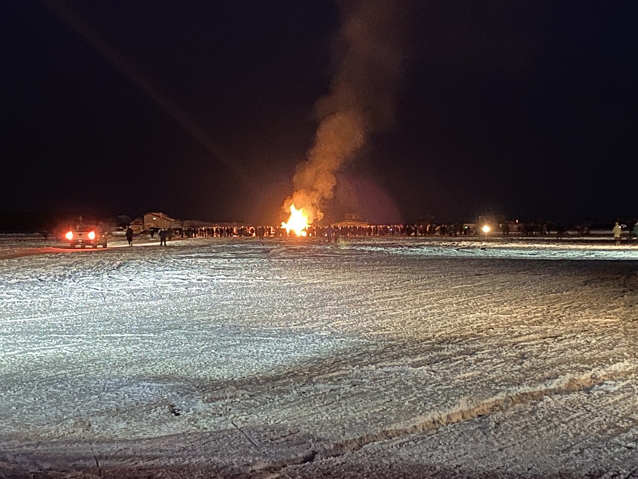
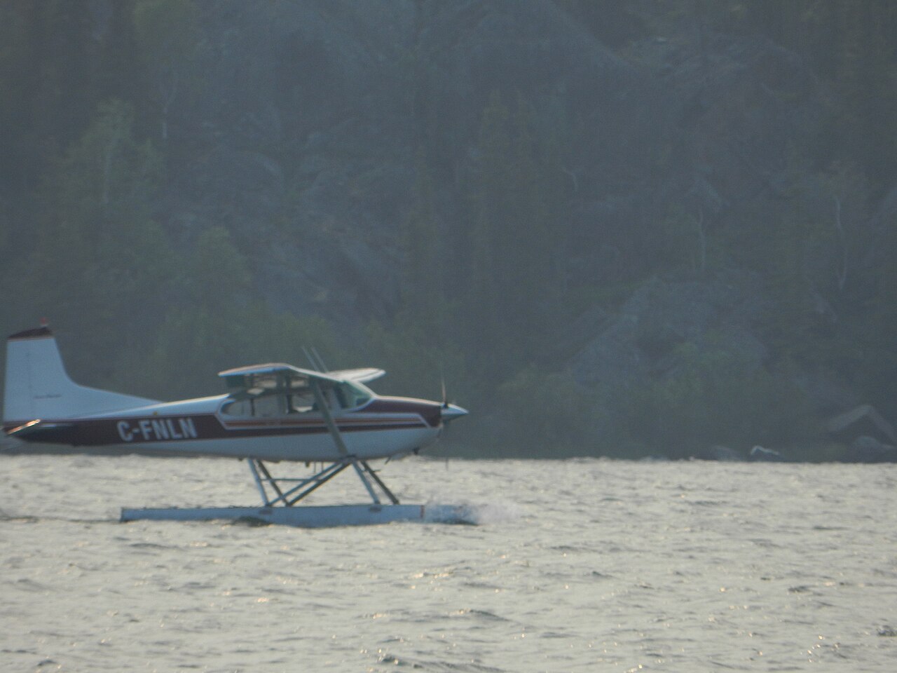
Gallery
Frequently Asked Questions
What is Great Slave Lake?
It is the second-largest lake in Canada's Northwest Territories and ranks tenth in the world by surface area, spanning roughly 27,200 square kilometers. With a water volume near 1,580 cubic kilometers, it is one of the most massive freshwater bodies on the North American continent.
Why is it called 'Slave' Lake?
The name traces back to the Dene people who inhabit the region, who were labeled 'Slavey' by their Cree adversaries. European fur traders and mapmakers picked up that Cree-derived term, and it became the permanent English name on charts.
How deep is Great Slave Lake?
At 614 meters (about 2,014 feet) at its deepest point, it is the deepest lake anywhere in North America. That extreme depth is what accounts for its enormous volume relative to its surface footprint.
Which towns border Great Slave Lake?
Settlements such as Łutselk'e, Fort Resolution, Hay River, and Yellowknife all line the lake's shores. They anchor Dene communities and function as key economic and cultural hubs for the southern portion of the Northwest Territories.
How did Great Slave Lake first appear on European maps?
Samuel Hearne is recognized as the first European to reach the lake, arriving during the late-18th-century fur trade. His account and subsequent mapping brought the lake into the wider European geographic record.
More in Great Lakes Of The World 1-24
Spotted an error? Know more?
Reader corrections go straight into our review queue. Suggest an edit · How this site is sourced