Gorce Mountains
A forested Polish range of gentle peaks, ridges, and deep river valleys.

Zalasem1 · CC BY 4.0
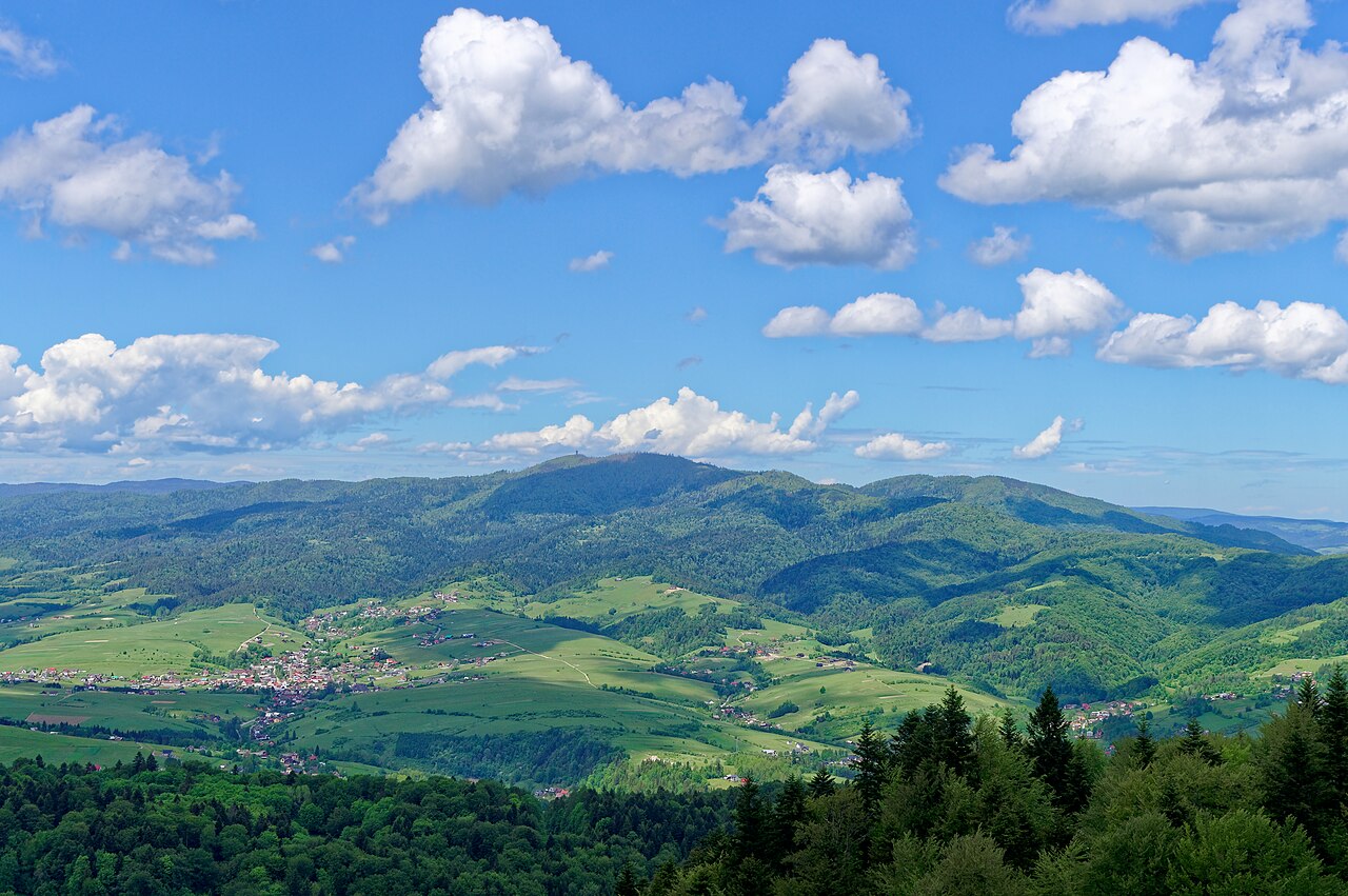
Set in the Western Beskids in southernmost Poland, the Gorce Mountains form a stretch of the larger Carpathian mountain system. You'll find ridges, gentle peaks, and deep river valleys throughout, and a good portion of the range lives inside Gorce National Park, a biodiversity conservation area established in 1981.
Quick Facts
- Native Name
- pl · Gorce
- Country
- Poland
- Region
- Lesser Poland Voivodeship, Podhale, Zagórze, Ochotnica region
- Settlement
- Ochotnica Dolna Poręba Wielka Mszana Dolna
- Parent
- Western Beskids
- Borders On
- Western Carpathian range
- Highest
- Turbacz
- Elevation M
- 1310
- Listing
- Mountains of Poland
Facts from the source article.
Lore & Background
The Gorce Mountains are part of the Western Beskids, spreading across southernmost Poland in Małopolska Province. They lie in the central part of the Western Carpathians, with the Dunajec River forming their eastern boundary. The range is dominated by about a dozen gentle peaks, with Turbacz as the highest at 1,310 meters. Other notable peaks include Jaworzyna Kamienicka, Kiczora, Kudłoń, and Lubań. The mountains are formed from sedimentary rock and conglomerates of the Carpathian Flysch Belt, with high annual rainfall feeding rivers such as the Raba, Dunajec, Kamienica, Ochotnica, and Porębianka.
Reader's Guide
The Gorce Mountains are significant for their biodiversity and as a popular tourist destination. Gorce National Park, established in 1981, protects a strictly protected zone of 3,611 hectares out of a total 7,030 hectares. The park hosts nearly 50 mammal species, including wolf, lynx, brown bear, and otter, as well as over 90 species of breeding birds. Forests cover about 65% of the mountains, with beech, spruce, and fir as the most common trees. Human activity has altered the landscape since the 12th century, with early settlements, a Cistercian monastery in 1234, and castles built under Casimir III the Great. The forests suffered most in the 19th century under Austrian-Hungarian rule. Today, the Gorce offer 40 well-marked hiking trails of varying lengths, with trail blazes indicating direction rather than difficulty. The longest trail, marked in red, traverses the entire range from Krościenko nad Dunajcem to Rabka-Zdrój.
Did You Know?
- The highest peak is Turbacz at 1,310 meters above sea level.
- Gorce National Park was designated in 1981 and covers 7,030 hectares.
- The fire salamander is the symbol of Gorce National Park.
- The Raba Niżna–Turbacz trail is approximately 15 km, not the longest in the park—that honor goes to the red main trail (Główny Szlak Beskidzki).
A Long Road to Protection
The story of Gorce National Park is one of gradual, hard-won conservation. The earliest protective measure dates to 1927, when a forest reserve was established on property belonging to Count Ludwik Wodzicki of Poręba Wielka. That modest beginning laid the groundwork for what would eventually become a fully designated national park in 1981, initially encompassing 23.9 square kilometres. Over the decades since, the protected area has more than tripled, reaching 70.3 km² (27.1 sq mi) in its current form. Of that total, 65.91 km² is covered by forest, underscoring the park's primary mission of preserving woodland habitat. Beyond the core boundary, a protective buffer zone stretches across an additional 166.47 km², creating a layered shield around the most sensitive ecosystems. Administratively, the park spans Limanowa and Nowy Targ counties in Lesser Poland Voivodeship, with its headquarters still rooted in Poręba Wielka — the same village where the first seeds of protection were planted more than a century ago.
Arched Peaks and Narrow Waters
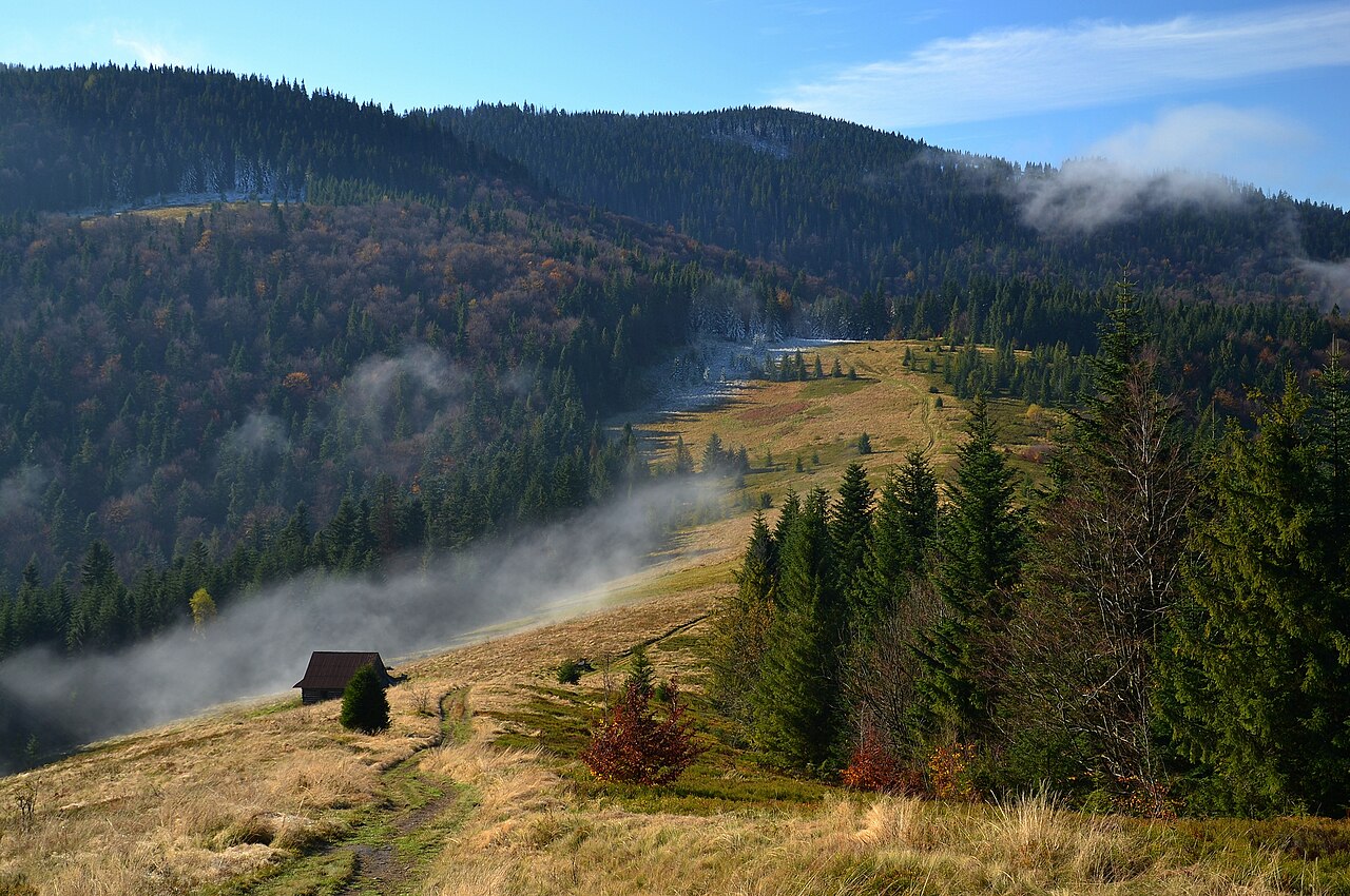
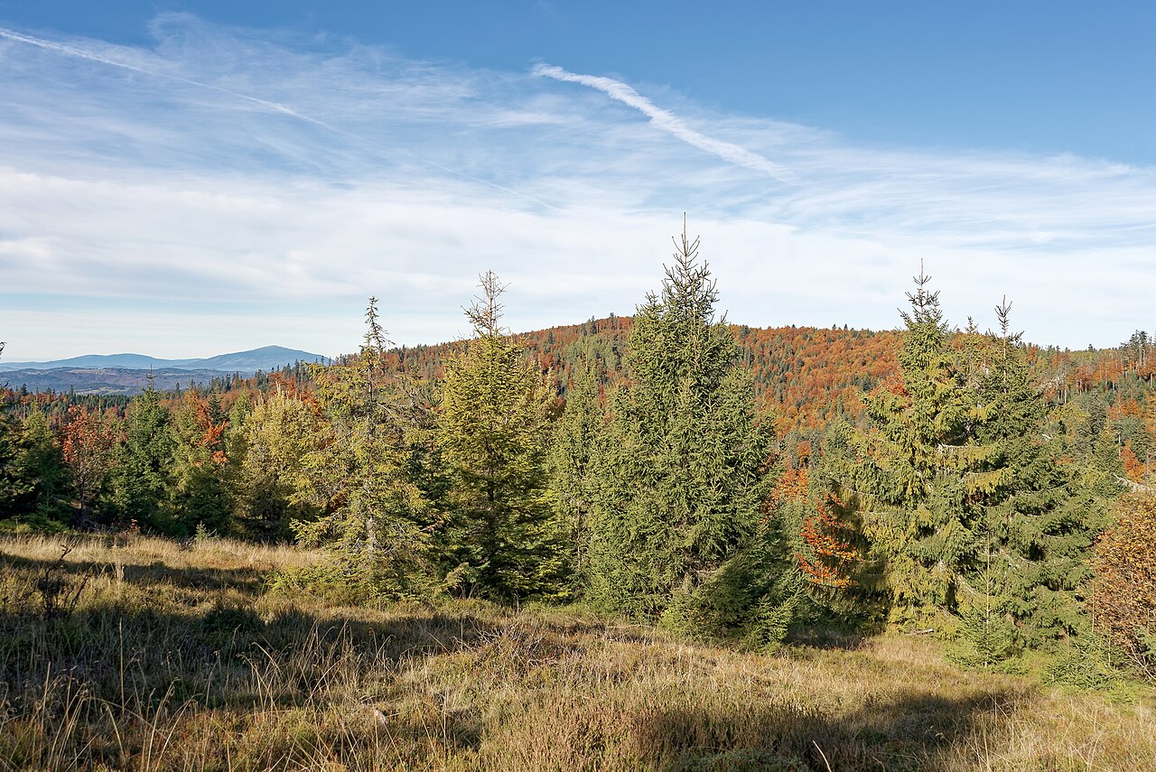
The Gorce range, situated at the western edge of the Carpathian mountain system within the Western Beskids, is defined by a distinctive topography of rounded, arched summits rather than jagged spires. River valleys carve through the range, sculpting its profile, yet the park itself holds remarkably little standing water — just 0.18 km² of surface water in the form of small streams, with no lakes or major rivers within its borders. The highest point is Turbacz, rising to 1,310 metres above sea level, followed by notable peaks including Jaworzyna Kamienicka, Kiczora, Kudłoń, Czoło Turbacza, and Gorc Kamienicki. These soft, rolling summits give the range a gentle, almost pastoral character. The undisturbed landscape means that human settlements and intensive activity remain largely outside the park's perimeter, allowing visitors who do come to experience a quiet, natural setting. From the gentler slopes, the surrounding panorama reveals neighbouring mountain groups, including the Tatra and Pieniny ranges, making the Gorce a rewarding vantage point as much as a destination in its own right.
A Living Tapestry of Species
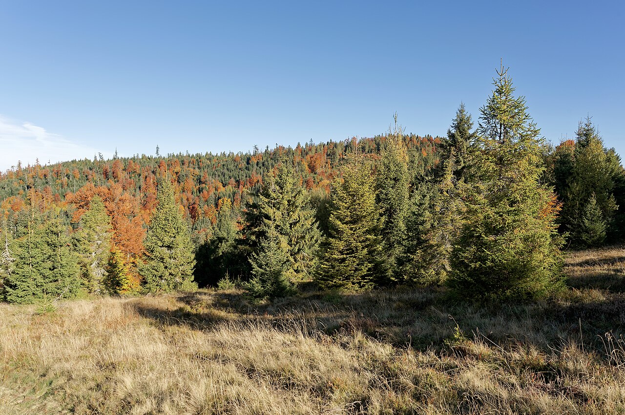
Biodiversity is the park's crowning achievement. Forests blanket approximately 95% of the protected area, dominated by spruce, beech, and fir, with scattered clearings that largely owe their existence to earlier human land use. Among the trees, hundreds of plant species thrive, including Alpine and Subalpine varieties that colonise the open meadows. The animal community is equally rich: more than 90 species of breeding birds nest within the park, and nearly fifty mammal species call it home, ranging from the elusive lynx to wolves and brown bears. Amphibians and reptiles add further layers — frogs, snakes, and salamanders inhabit the streams and rocky outcrops. The rare fire salamander holds a special place as the official symbol of the park, a small creature representing the broader web of life that the conservation effort safeguards. The interplay of dense woodland, alpine meadow, and narrow watercourses creates a mosaic of microhabitats that supports this extraordinary concentration of species in a relatively compact mountain landscape.
Shepherds, Chapels, and Ancient Forests
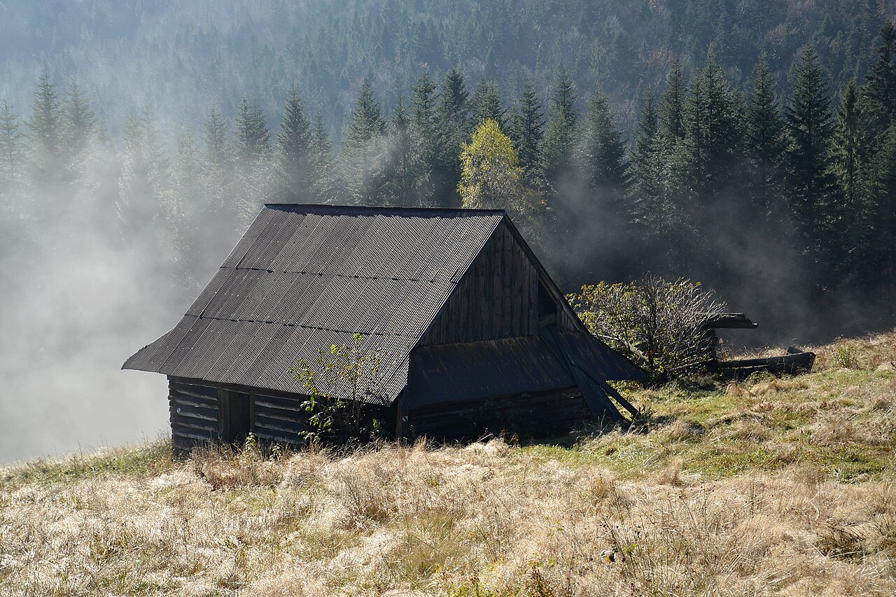
Settlers first took hold of the Gorce in the 14th century. The real damage to the forests came in the 19th century, when large-scale logging stripped timber from the most accessible slopes — a wound the woodland is still slowly patching itself up. Even so, the park's landscape keeps an essentially undisturbed character, with active human operations confined to areas outside its boundary. The Bulanda Chapel is probably the most personal landmark up here. It perches on the glade of Jaworzyna Kamienicka, the second-highest peak in the Gorce, and was funded at the dawn of the 20th century by Tomasz Chlipała, the most celebrated shepherd of the mountains. The bond between him and that ridge reads in every stone of the little structure. Just nearby, Zbójnicka Jama — the range's best-known cave — adds a geological dimension to the site. Together they make the case that the Gorce are more than wilderness: centuries of people and nature are layered into this landscape, and you can trace both.
Gallery
Frequently Asked Questions
Where is Gorce National Park located?
It sits in Małopolska Province in southernmost Poland, forming part of the Western Beskids within the broader Carpathian range. The landscape is defined by rolling ridges, modest summits, and deeply cut river valleys.
What is the highest point in the Gorce Mountains?
Turbacz tops out at 1,310 meters (about 4,300 feet), making it the tallest peak in the range. It is a popular destination for hikers exploring the park's gentle, forested terrain.
How large is Gorce National Park and what does it protect?
The park spans roughly 7,030 hectares (27.1 square miles), with about 65 percent of that area covered in forest. It was created to safeguard the region's plant and animal biodiversity.
How many hiking trails can I find in Gorce National Park?
Visitors have access to 40 well-marked trails winding through the ridges and valleys. The longest of these is the red-marked Główny Szlak Beskidzki, a major long-distance route.
When was Gorce National Park established?
It received its protected status in 1981, making it one of the conservation areas in the Carpathian foothills. The designation was aimed at preserving the area's rich ecological diversity.
More in National parks of Poland 1-24
Spotted an error? Know more?
Reader corrections go straight into our review queue. Suggest an edit · How this site is sourced