Babia Góra National Park
A Polish national park and UNESCO biosphere reserve.

Kamil Pszczółkowski · CC BY 3.0
Babia Góra National Park (Babiogórski Park Narodowy in Polish) sits in southern Poland, within Lesser Poland Voivodeship, right along the Slovak border. Its administrative center is in Zawoja. The area was first protected as a Nature Reserve in 1933, covering roughly the same ground as the current park, which was officially created on October 30, 1954. Since 1976, UNESCO has recognized it as a biosphere reserve.
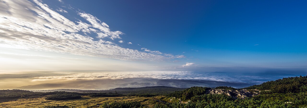
Spanning 33.92 square kilometers, about 85% of the park is forested. It takes in the northern side and a portion of the southern side of the Babia Góra massif. The massif’s main peak, Diablak, reaches 1,725 meters, making it the highest point in the Orava Beskids mountain range. On the Slovak side, the massif mostly falls within the Horná Orava Protected Landscape Area.
The park hosts 105 bird species, including woodpeckers and eagle owls. Mammals such as deer, lynx, wolves, and bears also live here. Among the insects, beetles are especially notable, with some species found nowhere else.
Quick Facts
- Iucn Category
- II
- Location
- Lesser Poland Voivodeship, Poland
- Area
- 33.92 km2
- Established
- 1954
- Governing Body
- Ministry of the Environment
Facts from the source article.
Lore & Background
Babia Góra National Park was preceded by a Nature Reserve established in 1933 covering roughly the same area. The national park was officially created on October 30, 1954, and in 1976 it was designated a UNESCO biosphere reserve. The park covers 33.92 square kilometres, about 85% of which is forested, and includes the northern and part of the southern side of the Babia Góra massif. The massif's main peak, Diablak, is the highest point of the Orava Beskids mountain range at 1,725 metres. The Slovak side of the massif is primarily part of the Horná Orava Protected Landscape Area.
Reader's Guide
Babia Góra National Park is significant as one of Poland's 23 national parks and as a UNESCO biosphere reserve since 1976, highlighting its international ecological importance. Its location on the Polish-Slovak border and its inclusion of the Babia Góra massif, with the highest peak of the Orava Beskids, make it a key protected area in the region. The park's fauna includes 105 species of birds, such as woodpeckers and eagle owls, as well as mammals like deer, lynx, wolves, and bears. Insects, especially beetles, are also notable, including some unique to the area. The park's legacy lies in its long-standing protection of a diverse ecosystem, from its origins as a 1933 Nature Reserve to its current status as a national park and biosphere reserve, serving as a habitat for rare species and a site for conservation and research.
Did You Know?
- The national park was officially established on October 30, 1954.
- UNESCO designated it as a biosphere reserve in 1976.
- The park's main peak, Diablak, is 1,725 metres (5,659 ft) high.
Geography & the Name of the Peak
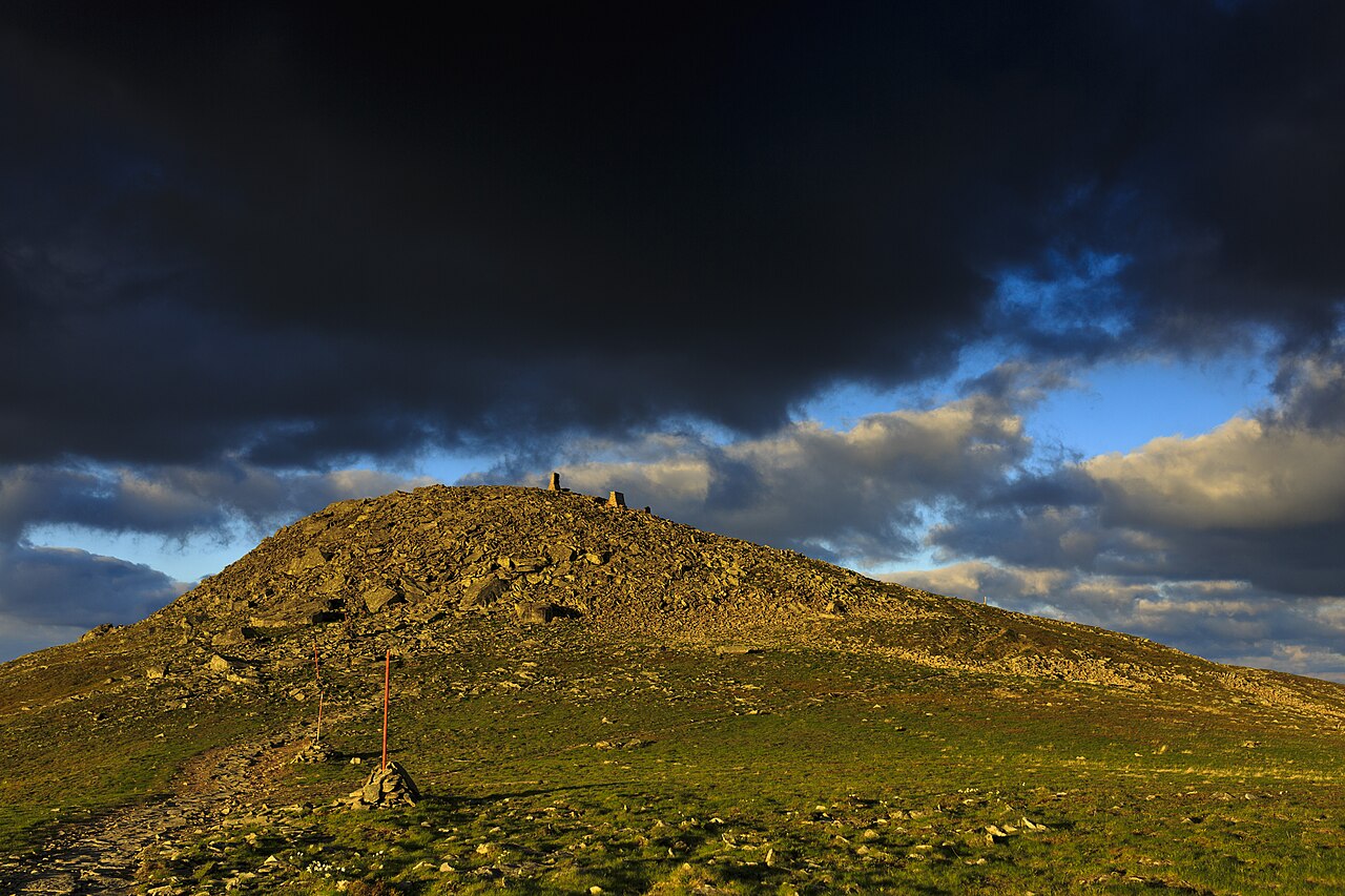
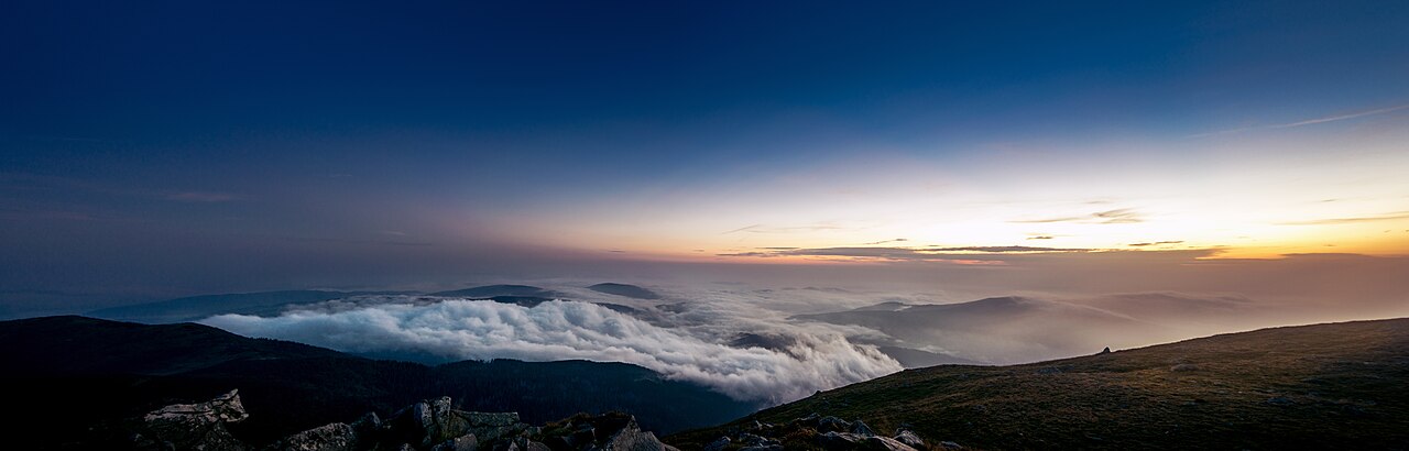
Babia Góra — known in Slovak as Babia hora — is a mountain massif straddling the border between Poland and Slovakia within the Western Beskid range. The name, which translates loosely to 'Old Woman's Mountain,' is also used to refer specifically to the massif's highest point, Diablak, a dramatic summit whose name means 'Devil's Peak.' Standing at 1,725 metres (5,659 ft) above sea level, Diablak claims the title of the tallest peak in this stretch of the Carpathian Mountains. The massif presents a striking contrast in its topography: the southern face rises gently, inviting approach, while the northern side drops away in steep, rugged terrain. This duality gives the mountain a layered character, rewarding visitors who circle it from different directions. The Polish pronunciation, rendered phonetically as 'BA-byah GOO-rah,' reflects the soft, rolling sounds of the language, while the Slovak form carries a slightly harder edge. Together, these twin names anchor the massif in two national identities, a reminder that the mountain belongs fully to neither country alone.
A Long Road to Protection
The massif first entered the written record in the fifteenth century, when the Polish chronicler Jan Długosz mentioned it in his writings. For centuries afterward the area remained largely unexplored, and it was not until the nineteenth century that mountaineers and naturalists began documenting its terrain in any meaningful depth. The first known mountain hut appeared in 1905, marking the beginning of sustained human presence at altitude. Conservation efforts followed gradually: the 1930s saw the first attempts to shield the landscape, and in 1933 the Nature Reserve of Babia Góra was formally established on the Polish side. A full national park — Babiogórski Park Narodowy — came into existence in 1954, covering 17.04 square kilometres. In 1976 the site earned designation as one of the world's earliest Biosphere Reserves. For many years it remained the smallest of Poland's national parks, but a 1997 expansion more than doubled its area to 33.92 square kilometres and added a buffer zone of 84.37 square kilometres, with 10.62 square kilometres placed under the strictest protection. Advocates continue to push for deeper cross-border cooperation with Slovakia to safeguard the fragile mountain ecosystem.
Mother of Bad Weather
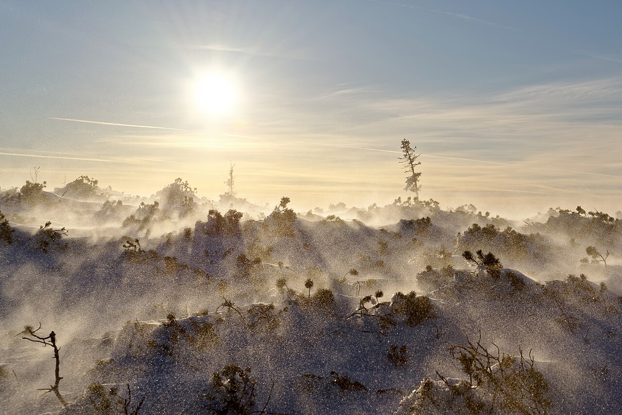
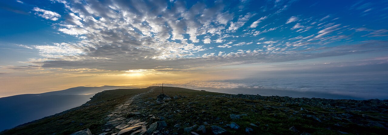
Locals have long called Babia Góra 'Matka Niepogód,' which translates as 'Mother of Bad Weather,' and the nickname is no exaggeration. The massif is extraordinarily sensitive to atmospheric shifts, largely because persistent winds sweep through the area with regularity, triggering rapid and violent changes in conditions. A pronounced temperature inversion further complicates the climate, trapping cold air in valleys while warmer layers sit above, creating unpredictable microclimates within a short distance. Snow blankets the mountain for well over two hundred days in a typical year, meaning that even midsummer hikers may encounter deep drifts on exposed sections. The weather's lethality is not merely theoretical: in May 2016, a climber attempting to descend the mountain was struck and killed by lightning as a thunderstorm rolled in. The combination of steep terrain, sudden storms, and prolonged winter conditions makes Babia Góra a place where the sky can turn hostile within minutes, a reality that every visitor must respect.
Hiking, Wildlife, and the Rules of the Reserve
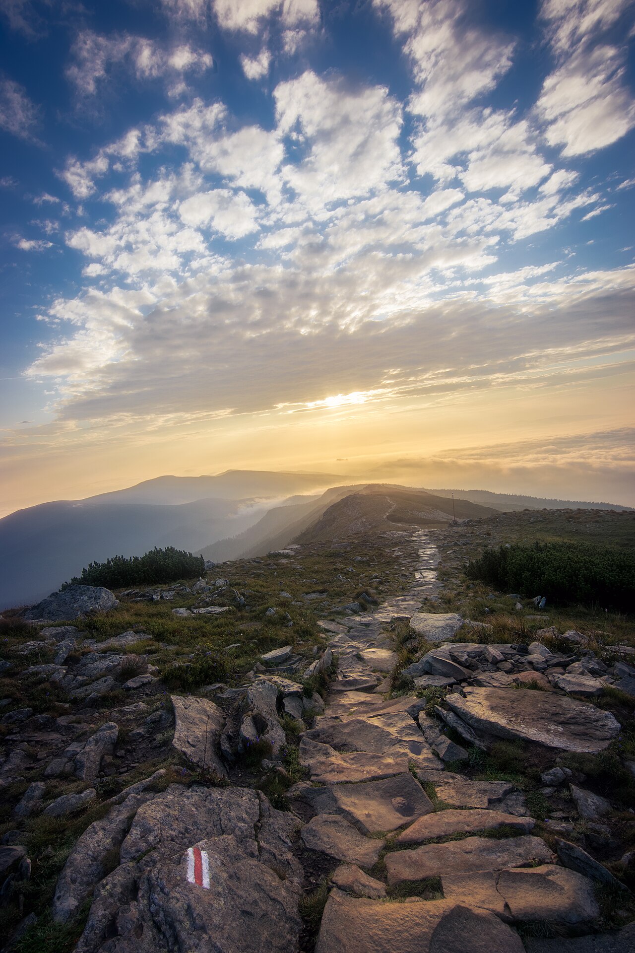
Despite its reputation for harsh weather, Babia Góra is generally considered a relatively accessible hiking destination, and the mountain draws large numbers of walkers each season. Among the most popular approaches is the yellow-marked Perć Akademików, or 'Academics' Path,' a notably steeper and more demanding route that tests even seasoned hikers. To manage the challenge, sections of the trail are fitted with chains and metal steps bolted directly into the rock face, and despite — or perhaps because of — these difficult passages, the route remains a favourite. The park's strict nature-reserve status governs all activity within its boundaries. The entire area shelters sensitive wildlife, including brown bears, Eurasian lynx, gray wolves, and alpine plant species found nowhere else at this altitude. Recreational access is tightly controlled: skitouring, for instance, was not permitted until 2022, and even then only when specific weather and snow conditions are met, underscoring the priority given to ecological preservation over leisure.
Gallery
Frequently Asked Questions
Where is Babia Góra National Park located?
It sits in southern Poland within the Lesser Poland Voivodeship, right along the border with Slovakia. The park's administrative center is the village of Zawoja.
When was Babia Góra National Park officially established?
The area first received protection as a Nature Reserve in 1933, but it was formally designated as a national park on October 30, 1954.
What is the highest point in Babia Góra National Park?
The park's highest peak is Diablak, which rises to 1,725 metres (5,659 ft) above sea level. It forms part of the Babia Góra massif that the park protects.
What UNESCO status does Babia Góra National Park hold?
Since 1976, UNESCO has recognized the area as a biosphere reserve, adding an international layer of protection on top of its national park designation.
How big is Babia Góra National Park and what does the landscape look like?
The park covers 33.92 square kilometres, with roughly 85% of that area blanketed in forest. It encompasses the northern slopes and part of the southern side of the Babia Góra mountain massif.
More in National parks of Poland 1-24
Spotted an error? Know more?
Reader corrections go straight into our review queue. Suggest an edit · How this site is sourced