Colonial National Historical Park
Preserves Jamestown and Yorktown, key sites of early American history.
Last updated
Where it is
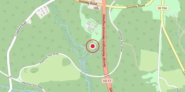
Coordinates: 37°13′08″N 76°31′01″W (37.2190, -76.5170) · Open in OpenStreetMap
Coordinates and connected clubs: the infobox of Wikipedia: Colonial National Historical Park (CC BY-SA 4.0). Map: drawn by Codexery from OpenStreetMap tiles.
Managed by the National Park Service, Colonial National Historical Park sits in Virginia’s Hampton Roads area. It safeguards and interprets sites tied to the Colony of Virginia and wider American history, including the first English settlement at Jamestown and the Yorktown battlefields where the British lost the Revolutionary War. The park draws over 3 million visitors annually.
Units
The Colonial National Historical Park connects three key locations in Virginia’s Historic Triangle via the Colonial Parkway, a 23-mile scenic road that passes through the historic district of Colonial Williamsburg and lies in James City County, York County, and the city of Williamsburg. At the parkway’s southern end in James City County is Historic Jamestowne, the original Jamestown site, which includes Jamestown Island and the Jamestown Glasshouse.
Next to it is the state-run Jamestown Settlement. At the parkway’s eastern end in York County is the Yorktown Battlefield, where the British were defeated. The Thomas Nelson House, built around 1724, served as Cornwallis’s headquarters during the final battle; both the house and the siege earthworks were restored in 1976. The Moore House, where surrender talks occurred in 1781, sits in the park’s eastern section.
Nearby are the state-operated American Revolution Museum at Yorktown and the Yorktown Riverwalk Landing area. William Berkeley, Virginia’s longest-serving colonial governor, used his Green Spring Plantation as an experimental farm to find income sources beyond tobacco and fur trading. The Cape Henry Memorial marks where Captain Christopher Newport and the Jamestown colonists landed in 1607. It is in Virginia Beach at Cape Henry, off U.S. Route 60 on the Navy’s Joint Expeditionary Base East, and is open to the public.
Administrative history
Colonial National Monument was authorized on July 3, 1930, and established on December 30, 1930. It was redesignated a National Historical Park on June 5, 1936. The cemetery at Yorktown was transferred from the War Department to the National Park Service on August 10, 1933. Jamestown National Historic Site, co-owned by the National Park Service and Preservation Virginia and administered by the NPS, was designated on December 18, 1940.
More in National Historical Parks of the United States
Sources
Compiled from Wikipedia and the sources listed below. Text from Wikipedia is available under CC BY-SA 4.0; this entry is adapted from it.
- Wikipedia: Colonial National Historical Park (CC BY-SA 4.0).
Spotted an error? Know more?
Reader corrections go straight into our review queue. Suggest an edit · How this site is sourced