
Trans-Canyon Telephone Line, Grand Canyon National Park
Historic 18-mile telephone line crossing Grand Canyon, listed 1986.
Last updated
Where it is
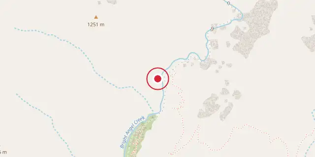
Coordinates: 36°06′36″N 112°05′35″W (36.1100, -112.0930) · Open in OpenStreetMap
Coordinates and connected clubs: the infobox of Wikipedia: Trans-Canyon Telephone Line, Grand Canyon National Park (CC BY-SA 4.0). Map: drawn by Codexery from OpenStreetMap tiles.
The Trans-Canyon Telephone Line was an 18-mile open-wire copper-weld telephone line crossing the Grand Canyon from the South Rim to the North Rim via the Inner Canyon. It was in place by 1924 and placed on the National Register of Historic Places on May 13, 1986. The line was supported by 592 assemblies of 2-inch galvanized pipes and fittings, designed for easy transport and minimal environmental impact.
More in Buildings and Structures in Grand Canyon National Park
Sources
Compiled from Wikipedia and the sources listed below. Text from Wikipedia is available under CC BY-SA 4.0; this entry is adapted from it.
- Wikipedia: Trans-Canyon Telephone Line, Grand Canyon National Park (CC BY-SA 4.0).
Spotted an error? Know more?
Reader corrections go straight into our review queue. Suggest an edit · How this site is sourced