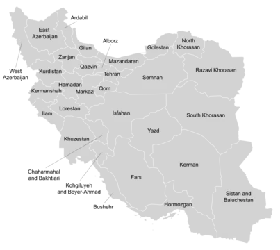
Hormozgan province
Southern Iranian province on the Strait of Hormuz.

ghzizoo2 · CC BY-SA 3.0
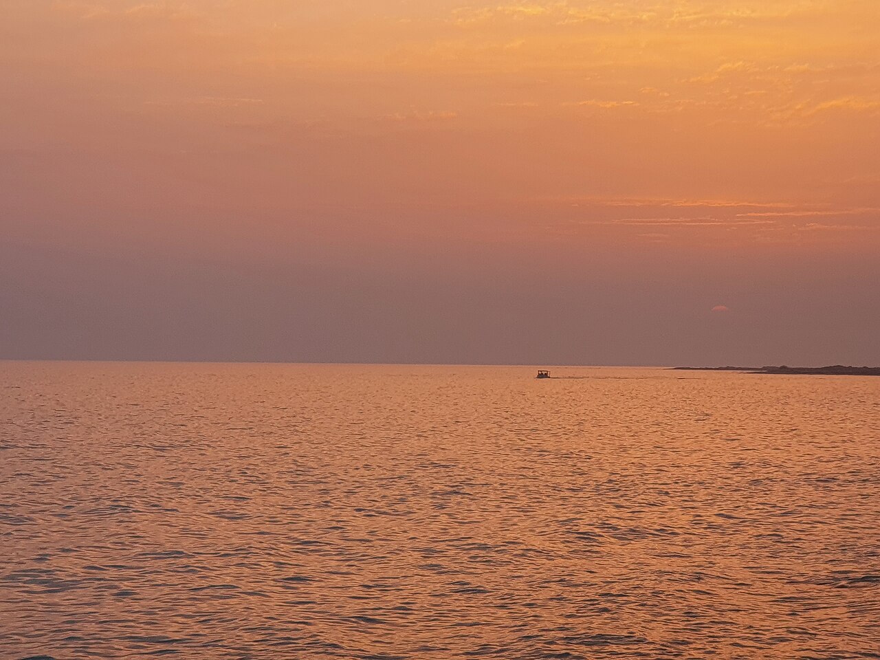
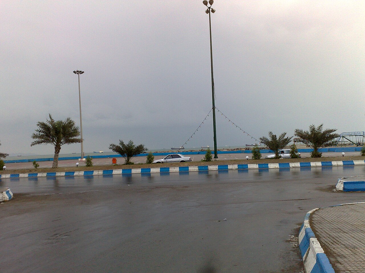
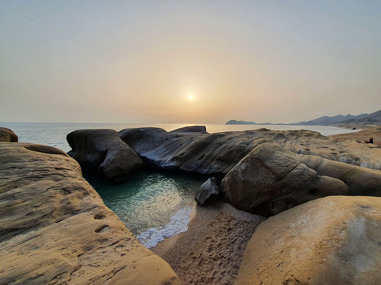
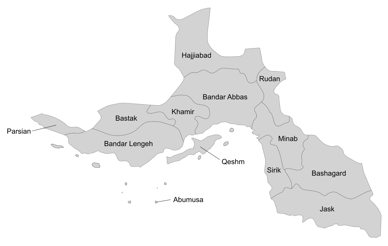
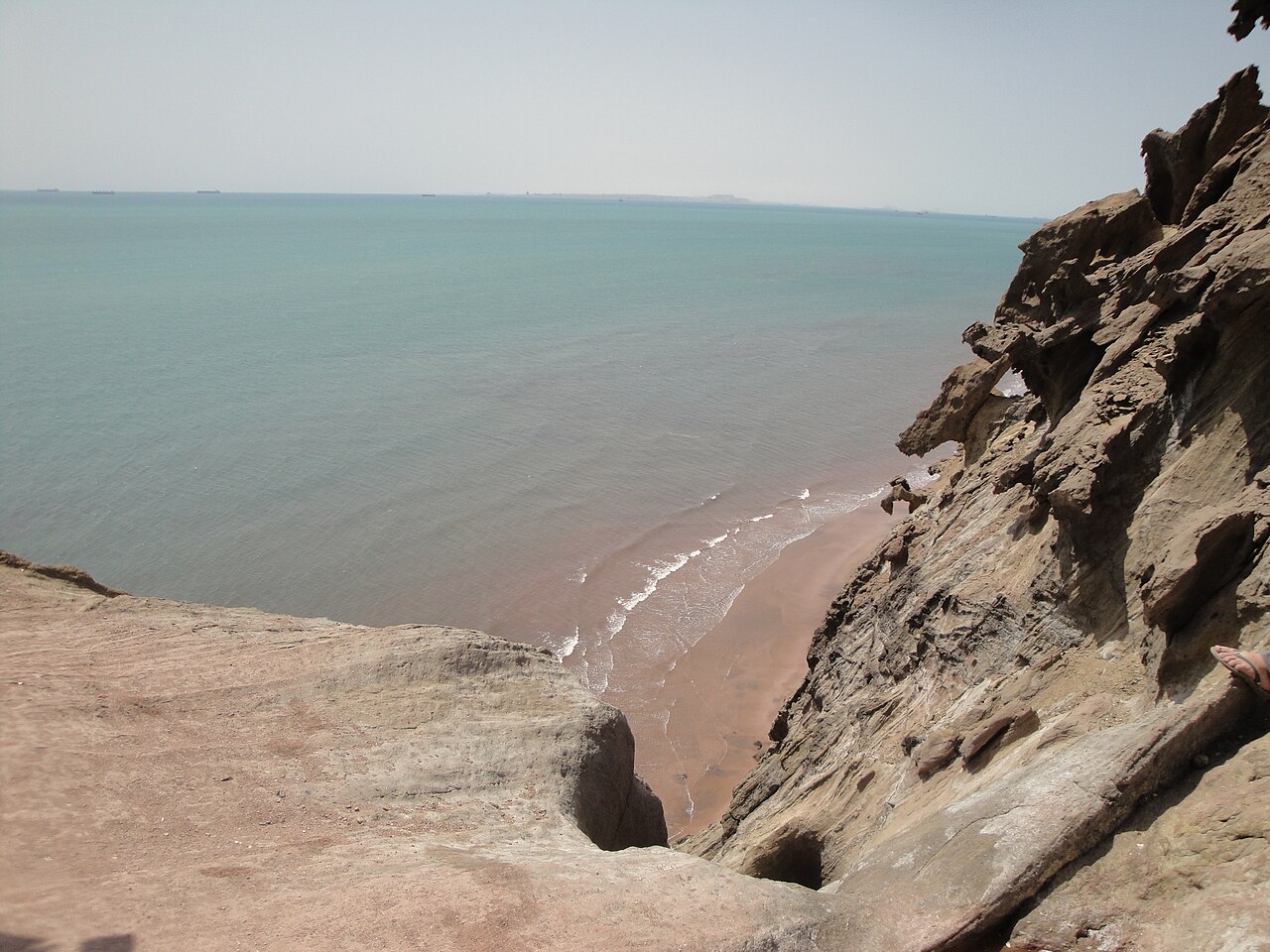
Hormozgan province is one of Iran's 31 provinces, situated in the south of the country within Iran's Region 2. It faces Oman, the United Arab Emirates, and the Strait of Hormuz, with Bandar Abbas as its capital. The province includes 14 islands in the Persian Gulf and a lengthy coastline.
Settlement in Hormozgan dates back to the Achaemenid era, when Nearchus passed through, but the recorded history of its main port, Bandar‑e Hormoz, begins with Ardashir I of the Sassanid Empire. The province flourished between 241 BC and 211 BC but lost prominence after the Islamic era began. Marco Polo visited Bandar Abbas in 1272 and 1293, noting trade in Persian jewelry, ivory, Indochinese silk, and Bahraini pearls at the Hormuz bazaar. Europeans first arrived in 1497 under Vasco da Gama, followed by the Portuguese in 1508, led by Afonso de Albuquerque with seven warships, aiming to protect interests in Egypt and Venice. The port of Hormuz was then seen as strategically vital for Persian Gulf commerce. Ismail I could not defend the port from the Portuguese due to Ottoman threats, but Shah Abbas I eventually expelled them with British help, giving Bandar Abbas its name. The British then competed with Dutch colonialists, who developed Qeshm Island and sent warships to Bandar Abbas during Shah Abbas's final years. After British-Dutch relations deteriorated, the Dutch moved their base to Kharg Island. The Amir of Kharg, Mir Mahna Baloch, and Mir Hammal Kalmati, with a Baloch army, drove Europeans from Bandar Abbas to Karachi, leaving the British in control of the region via the British East India Company. Britain encouraged local autonomy to prevent unified opposition. The Omani Emirate of Hormuz later joined a federated Persia. The region's strategic importance grew after World War I with oil discoveries.
The province's population was 136,537 in 30,332 households in 2006, rising to 157,818 in 39,692 households in 2011, and 177,641 in 49,366 households in 2016. The dominant language is a variety of Persian, with Northwest Iranian Balochi also present. Arabic and Kholosi, an Indic language, are spoken by minorities. By 2016, nearly 55% of the population—97,665 people—lived in urban areas.
Hormozgan is mostly mountainous, forming the southern tip of the Zagros Range. It has a very hot, humid climate, with summer temperatures sometimes exceeding 49°C, and very little rainfall year-round. Today, the province has 11 ports, five air strips, and three national airports. Agriculture is active: it ranks first in Iran for lime production and second for dates, and provides 30% of the country's fishery output. Three major hydro dams—Esteghlal (Minab), Jegin, and Shemil—supply water. Germany has offered to build a bridge connecting Qeshm Island to the mainland. Two free trade zones exist, on Kish and Qeshm islands. Kish Island hosts the Iranian oil bourse, one of five such exchanges globally and the only one that does not trade oil and derivatives in U.S. dollars. On July 18, 2026, a U.S. airstrike hit a water desalination plant in the village of Bunji, disabling it and cutting off drinking water to twenty nearby villages, affecting an estimated 10,000 residents.
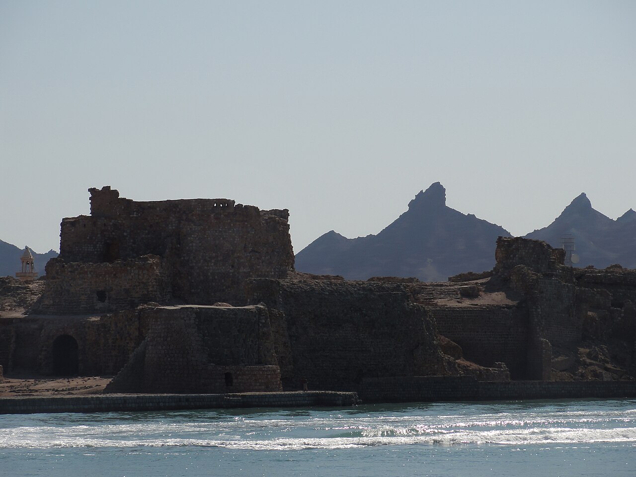
The Cultural Heritage Organization of Iran lists 212 sites of historical and cultural significance in the province. Popular attractions include Emarat-e Kolah Farangi (built during Dutch occupation), Berkeh haye Baran (six traditional water reservoirs), the Gele-dari traditional bath, a Hindu temple, Latidan Bridge (built under Shah Abbas I), Fekri House, Sa'di House, the Fort of Our Lady of the Conception on Hormoz Island, Qeshm Island, Hara marine forests, Kish Island (a major tourist resort), the Geno and Hara UNESCO natural biosphere reserves, and various hot springs. Colleges and universities include Bandar Abbas University of Medical Sciences, University of Hormozgan, and Qeshm Institute of Higher Education.
- Capital
- Bandar Abbas
- Region
- Iran's Region 2
- Islands
- 14 in the Persian Gulf
Lore & Background
Hormozgan province lies in southern Iran, facing Oman, the United Arab Emirates, and the Strait of Hormuz. Its terrain is primarily mountainous, forming the southern extremity of the Zagros Range, and it experiences an intensely hot and humid climate, with summer temperatures occasionally exceeding 49°C and very little rainfall throughout the year. The province includes 14 islands within the Persian Gulf and a lengthy coastline. Its recorded history begins with the Sassanid ruler Ardashir I, though the region was settled earlier during the Achaemenid era. It prospered between 241 and 211 BC but declined after the Islamic era began. Marco Polo visited the port of Bandar Abbas in the late 13th century, noting trade in Persian jewelry, Indochinese ivory and silk, and Bahraini pearls. Europeans first arrived in 1497 under Vasco da Gama; the Portuguese occupied the strategic port of Hormuz in 1508. Shah Abbas I later expelled the Portuguese with British assistance, giving Bandar Abbas its name. The British and Dutch vied for influence, with the Dutch developing Qeshm Island before relocating to Kharg Island. Baloch forces under Mir Mahna Baloch and Mir Hammal Kalmati expelled the Europeans to Karachi, after which the British East India Company dominated the Persian Gulf. The province’s population was 177,641 in 2016. Persian is the dominant language, with Balochi, Arabic, and Kholosi also spoken. Today, Hormozgan has 11 ports, five airstrips, and three national airports. Its agricultural sector leads Iran in lime production and ranks second in dates, while the fishery sector provides 30% of the country’s catch. Major dams include Esteghlal, Jegin, and Shemil. Two free trade zones exist on Kish and Qeshm islands; Kish hosts the Iranian oil bourse, which does not trade in U.S. dollars.
Reader's Guide
Hormozgan province holds enduring significance as a crossroads of trade, empire, and conflict in the Persian Gulf. Its location on the Strait of Hormuz, a chokepoint for global oil shipments, has made it a strategic prize for centuries—from the Portuguese and British to modern geopolitical rivalries. The province's history reflects the interplay of local powers, such as the Baloch-led expulsion of Europeans, and external forces like the British East India Company. Today, Hormozgan remains economically vital: it ranks first in Iran in lime production, second in date production, and supplies 30% of Iran's fishery produce. Its free trade zones on Kish and Qeshm islands host the Iranian oil bourse, which notably does not trade in U.S. dollars.
Did You Know?
- The province ranks first in Iran in lime production and second in date production.
Strategic Crossroads – Colonial Rivalries and the Strait of Hormuz
Hormozgan's position facing Oman, the United Arab Emirates, and the Strait of Hormuz made it a magnet for imperial ambition. The port of Hormuz was already a thriving trading hub by the time Marco Polo passed through in 1272 and 1293, where merchants exchanged Persian jewelry, Indochinese silk, ivory, and Bahraini pearls. The arrival of Vasco da Gama in 1497 marked the first European landing in the region, followed by Afonso de Albuquerque's seven warships in 1508, who anchored to protect Portuguese commercial interests tied to Egypt and Venice. Safavid Shah Abbas I ultimately expelled the Portuguese from the Gulf with British assistance, and the city that bears his name—Bandar Abbas—remains the provincial capital. The Dutch, meanwhile, developed Qeshm Island and dispatched warships toward Bandar Abbas, prompting the British to consolidate control over the entire Persian Gulf through the East India Company, adopting a policy of encouraging local autonomy to prevent any unified regional power from threatening their gulf establishments.
Arid Terrain and Agricultural Resilience
The province sits at the southern tip of the Zagros Range, giving it a predominantly mountainous character, yet it endures a scorching, humid climate where summer temperatures can push past 49 °C (120 °F) while annual rainfall remains minimal. Despite these harsh conditions, Hormozgan ranks first in Iran for lime production and second for dates, and contributes roughly 30 percent of the country's total fishery output. Three major hydroelectric dams—Esteghlal (also called Minab Dam, which supplies much of Bandar Abbas's drinking water), Jegin, and Shemil—address the province's water needs. The province stretches across 70,697 square kilometers, includes 14 islands in the Persian Gulf, and commands 1,000 kilometers of coastline, making its maritime and agricultural identity inseparable from its physical geography.
Modern Trade Infrastructure and Geopolitical Vulnerability
Today Hormozgan operates eleven ports, five air strips, and three national airports, underpinning its role as Iran's primary maritime gateway. Two free-trade zones anchor its commercial identity: one on Kish Island and another on Qeshm Island. Kish hosts the Iranian oil bourse, one of only five such exchanges worldwide and the sole one explicitly trading oil and derivatives outside the U.S. dollar. Germany has recently proposed constructing a bridge linking Qeshm Island to the mainland, a project that would further integrate the province's island economy. Yet the region's strategic value also renders it vulnerable. On July 18, 2026, a United States airstrike struck a water desalination plant in the village of Bunji, disabling the facility and cutting off drinking water to twenty nearby villages. Iranian provincial officials estimated that roughly 10,000 residents lost access to potable water as a result.
Living Heritage and Academic Life
The Cultural Heritage Organization of Iran has catalogued 212 sites of historical and cultural significance across the province, reflecting layers of occupation from the Sassanid era through the Dutch period. Notable landmarks include the Dutch-built Emarat-e Kolah Farangi, six traditional rainwater reservoirs known as Berkeh haye Baran, the Gele-dari traditional bath, a Hindu temple, and the Latidan Bridge erected during Shah Abbas I's reign. Hormoz Island still bears the Fort of Our Lady of the Conception, a reminder of Portuguese presence. Two areas—Geno and Hara—hold UNESCO natural biosphere reserve status, and the Hara marine forests add a distinctive ecological dimension. Kish Island remains the most popular tourist resort in southern Iran's Persian Gulf coast. Academically, the province is served by several institutions, including the University of Hormozgan, Bandar Abbas University of Medical Sciences, Kish University, and branches of Islamic Azad and Payame Noor universities, supporting a population that grew from roughly 136,000 in 2006 to nearly 178,000 by 2016.
Gallery
Frequently Asked Questions
What is Hormozgan province and where is it located?
Hormozgan is one of Iran's 31 provinces, sitting in the country's far south along the Strait of Hormuz. It borders Oman and the United Arab Emirates across the water and belongs to Iran's Region 2.
What is the capital of Hormozgan province?
Bandar Abbas serves as the provincial capital, anchoring the region's identity as a major port and administrative hub on the southern coast.
What makes Hormozgan's geography unique among Iranian provinces?
No other province combines this many offshore islands in the Persian Gulf with a coastline of this length, giving Hormozgan a distinctly maritime character that sets it apart from the rest of the country.
More in Provinces Of Iran 1-24
Spotted an error? Know more?
This is a living reference — every entry is fact-audited, and reader corrections feed straight into our audit queue. Suggest an edit · See this site's audit record