Terrain cartography
Mapping the shape of the Earth's surface.
Last updated
Terrain cartography, also known as relief mapping, is the depiction of the shape of the Earth's surface on a map. It is a central problem in cartographic design, physical geography, and modern geographic information systems and geovisualization. Several techniques have been developed over centuries to portray terrain.
Quick Facts
- Field
- Cartography
- Known for
- Depiction of Earth's surface shape on maps
Facts from the source article.
Hill profiles
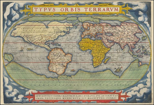
The oldest form of relief depiction on maps, hill profiles are illustrations of mountains and hills in profile placed on small-scale maps. They are rarely used today except for antique styling.
In 1921, A.K. Lobeck published A Physiographic Diagram of the United States using an advanced hill profile technique. Erwin Raisz later developed and standardized this method, which uses generalized texture to imitate landforms over large areas. Tom Patterson later created a computer-generated technique called plan oblique relief, which shifts pixels northward proportional to elevation, making mountains appear to stand up.
Contour lines
Contour lines, or isohypses, are isolines of equal elevation first developed in France in the 18th century. They are the most common quantitative way to visualize elevation, familiar from topographic maps. Early national surveys recorded only spot elevations, but the United States Geological Survey topographical maps included contour representation, leading to the term 'topographic maps' in the U.S. and internationally.
On Swisstopo maps, contour line color indicates ground type: black for bare rock and scree, blue for ice and underwater, brown for earth-covered ground. The Tanaka relief contours technique, developed by Professor Tanaka Kitiro in 1950, illuminates contour lines by highlighting or shading them based on a northwest light source. Lines in shadow are black bands, while those facing the light are white bands.
Earlier experiments in 1870 failed due to printing limitations. Berthold Horn created software to digitally produce Tanaka contours, and Patrick Kennelly added color. Issues include poor reproduction of white lines on gray backgrounds, time consumption, and an unappealing terraced appearance in some terrain.
Shaded relief
Shaded relief, or hill-shading, shows terrain shape realistically by simulating illumination from a point light source, conventionally placed in the upper-left (northwest) corner. A southern light source can cause multistable perception illusions where topography appears inverted. Traditionally drawn with charcoal and airbrush, Swiss cartographer Eduard Imhof is regarded as a master of manual hill-shading.
Today, shaded relief is almost exclusively computer-generated from digital elevation models. The mathematical basis calculates the surface normal at each location and the angle to the illumination vector using the dot product; smaller angles mean more illumination. Most software uses shortened algorithms.
Tools are available in Photoshop, QGIS, GRASS GIS, and ArcMap's Spatial Analyst. Imhof contributed a multi-color approach called 'illuminated shading,' using purples in valleys and yellows on peaks, which enhances realism and three-dimensionality. Digital recreations of Imhof's work have been fairly successful.
Rendering
Terrain rendering depicts real-world or imaginary surfaces, most commonly Earth's surface. It is used in various applications to provide a frame of reference, often combined with rendering of non-terrain objects like trees, buildings, and rivers. Two major modes exist: top-down rendering, known for centuries in cartographic maps, and perspective rendering, which became mainstream only with computers.
A typical application includes a terrain database, a CPU, a dedicated GPU, and a display. The software starts at an initial location, loads terrain data, builds a mesh of points, and the GPU creates screen-space polygons. Terrain surfaces can be textured with artificial textures (e.g., elevation coloring, checkerboard) or with aerial photography and satellite imagery. Video games use texture splatting.
Managing the number of processed and rendered polygons is the main problem; billions of data points can create detailed static pictures, but moving images require simplification. Virtually all applications use level of detail to manage data points. Several modern algorithms exist for generating terrain surfaces.
Did You Know?
- Hachures, first standardized by Austrian topographer Johann Georg Lehmann in 1799, use lines to show slope orientation and steepness, and were standard on German topographic maps into the 20th century.
- Raised-relief maps date back to hand-crafted dioramas around 200 BCE in China, but mass production began during World War II with vacuum-formed plastic maps.
- The Commission on Mountain Cartography of the International Cartographic Association is the best-known forum for discussion of relief portrayal in mountainous regions.
More in Physical Geography & Elevation
Sources
Compiled from Wikipedia and the sources listed below. Text from Wikipedia is available under CC BY-SA 4.0; this entry is adapted from it.
- Wikipedia: Terrain cartography (CC BY-SA 4.0).
Spotted an error? Know more?
Reader corrections go straight into our review queue. Suggest an edit · How this site is sourced