Altitude
Vertical distance measurement with context-dependent definitions and critical aviation applications.
Last updated

CVersteeg · CC BY-SA 4.0
Altitude measures how far up something is from a set starting point, called a reference datum. The exact meaning of that starting point shifts depending on the field—whether it's aviation, geometry, surveying, sports, or atmospheric pressure. People often use the word "altitude" to mean how high a place is above sea level, but in geography, "elevation" is the more common term for that. In aviation, altitude is usually measured from mean sea level or from the ground directly below, which helps keep flights safe and navigation accurate.
Aviation
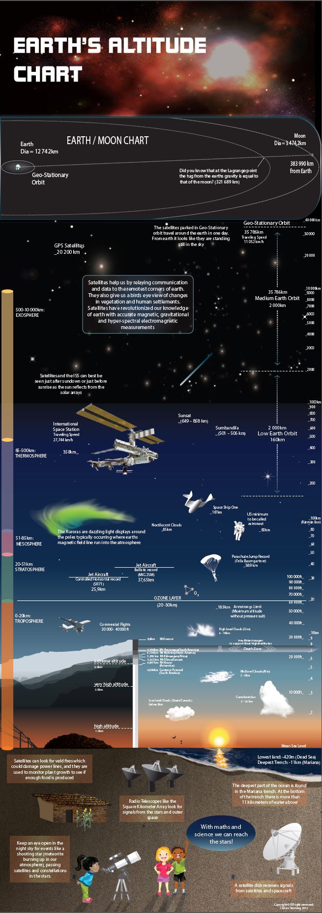
In aviation, the word "altitude" has several specific meanings, so pilots and controllers must be clear which one they mean. Barometric altimeters, set to local or standard sea-level pressure, are the main tool for measuring altitude, though GPS and radio altimeters are also used, especially near the ground during landings. These readings are approximate because air pressure changes with location and time, but they work well as a standard for keeping aircraft separated. The main types are: indicated altitude (the altimeter reading set to local sea-level pressure), absolute altitude (distance above the terrain below, measured by radar altimeter), true altitude (actual height above mean sea level, corrected for temperature and pressure), height (vertical distance above a specific point, like an airfield), pressure altitude (height above a standard pressure plane, used for flight levels above 18,000 feet), and density altitude (pressure altitude adjusted for temperature and humidity, which affects aircraft performance—on hot days, high density altitude can prevent takeoff).
Atmospheric layers
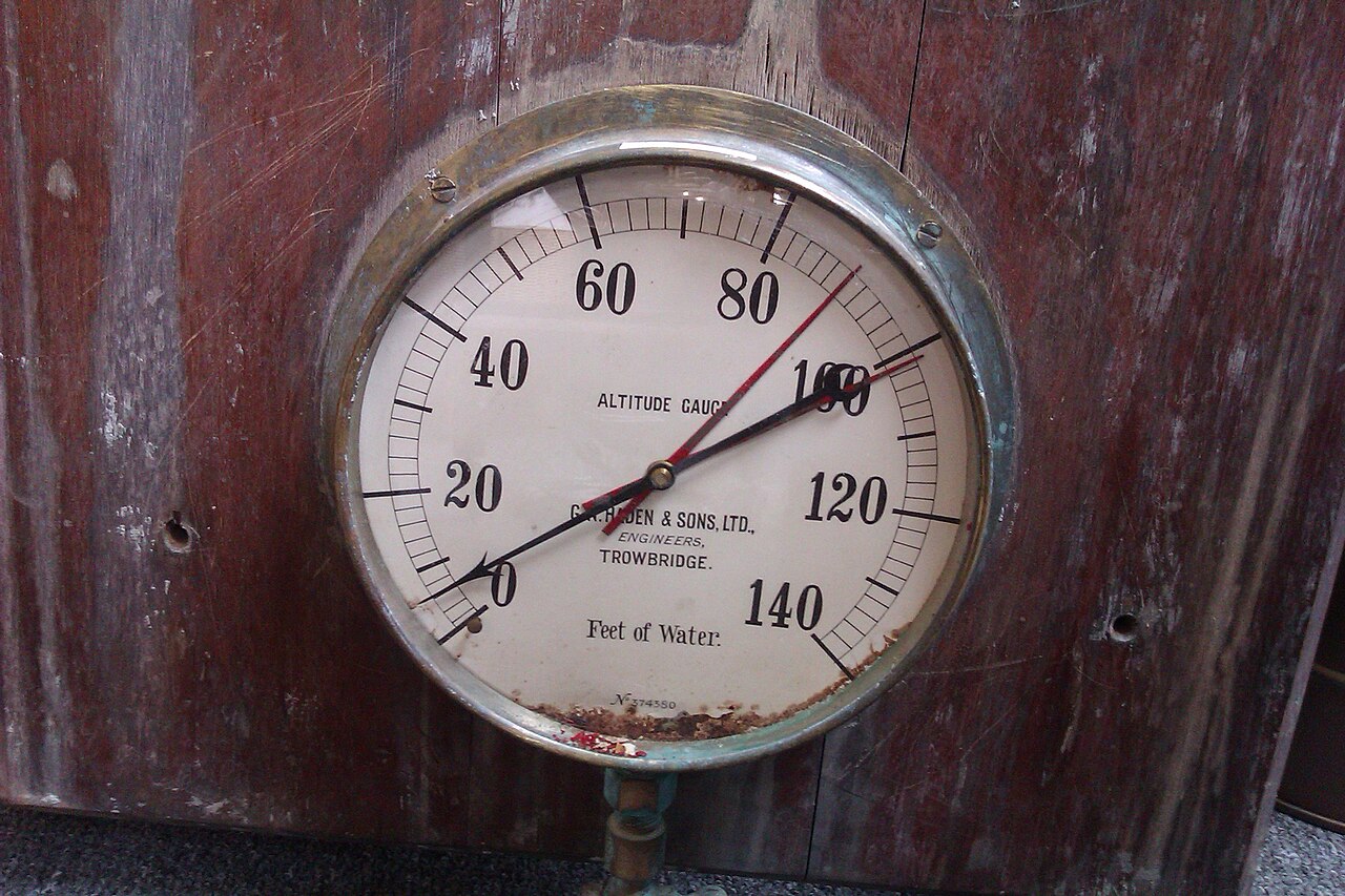
The Earth's atmosphere is split into layers based on altitude, with average boundaries: the troposphere (from the surface to about 8,000 meters at the poles and 18,000 meters at the equator), stratosphere (up to 50 kilometers), mesosphere (up to 85 kilometers), thermosphere (up to 675 kilometers), and exosphere (up to 10,000 kilometers). The Kármán line, at 100 kilometers above sea level, is the conventional boundary between the atmosphere and space. The thermosphere, exosphere, and upper mesosphere are often considered part of space.
High altitude and low pressure
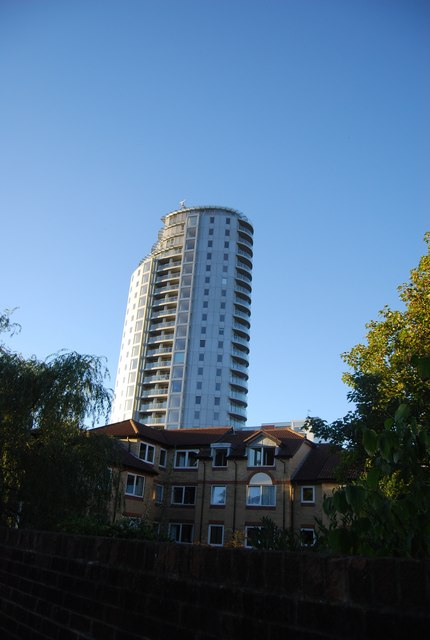
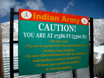
High altitude on Earth's surface or in its atmosphere generally starts at 2,400 meters (8,000 feet) above sea level. At these heights, atmospheric pressure is lower than at sea level because gravity pulls air downward while heat makes air molecules bounce apart. The temperature profile of the atmosphere comes from the interaction of radiation and convection: sunlight heats the ground, which then warms the air above it.
Quick Facts
- Types
- Indicated altitude
- Absolute altitude
- True altitude
- Height
- Pressure altitude
- Density altitude
- Atmospheric layers
- Troposphere
- Stratosphere
- Mesosphere
- Thermosphere
- Exosphere
Facts from the source article.
Lore & Background
In aviation, altitude has several distinct meanings. Indicated altitude is the reading on the altimeter when set to local barometric pressure at mean sea level. Absolute altitude is the vertical distance above the terrain, measured by radar altimeter. True altitude is the actual elevation above mean sea level, corrected for non-standard temperature and pressure.
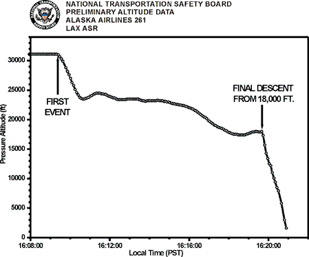
Height refers to vertical distance above a specified datum, such as an airfield elevation. Pressure altitude is the elevation above a standard datum air-pressure plane, used to indicate flight level. Density altitude is altitude corrected for non-ISA atmospheric conditions, affecting aircraft performance.
Reader's Guide
Altitude is a fundamental concept in multiple fields, with its definition shifting based on context. In aviation, precise altitude types—indicated, absolute, true, height, pressure, and density—are essential for safe navigation, aircraft separation, and performance calculations.
Barometric altimeters provide approximate readings useful for standardizing flight paths, while GPS and radio altimeters are critical near the ground. The temperature profile of the troposphere follows an adiabatic lapse rate, averaging 6.49 °C per kilometer in the ISA. Altitude affects human physiology, with permanent residents at higher altitudes showing lower mortality rates and reduced obesity prevalence.
Frequently Asked Questions
What is Altitude in physical geography?
Altitude refers to the vertical distance measured upward from a chosen reference point (a datum) to a given location or object. The specific datum and definition shift depending on the field—aviation, surveying, atmospheric science, or sport—so the same word can carry slightly different meanings in each context.
What are the main types of Altitude?
The concept splits into several variants: indicated, absolute, true, height, pressure altitude, and density altitude. Each one anchors the measurement to a different baseline, such as mean sea level, the local ground, or a standardized atmospheric model.
How does Altitude differ from Elevation?
In everyday speech people often use the two terms interchangeably, but geographers reserve 'elevation' for height above sea level of a fixed surface point. 'Altitude' is the broader, more flexible term that can reference any datum and is especially common in aviation and atmospheric work.
Why is Altitude critical in aviation?
Pilots rely on altitude readings—typically referenced to mean sea level or above-ground level—to maintain safe separation between aircraft and terrain. Without a consistent vertical measurement standard, collision avoidance and controlled descents would be far more dangerous.
More in Physical Geography & Elevation
Sources
Compiled from Wikipedia and the sources listed below. Text from Wikipedia is available under CC BY-SA 4.0; this entry is adapted from it.
- Wikipedia: Altitude (CC BY-SA 4.0).
Spotted an error? Know more?
Reader corrections go straight into our review queue. Suggest an edit · How this site is sourced