Lake Roosevelt National Recreation Area
A recreation area on Franklin D. Roosevelt Lake in eastern Washington.
Last updated
Where it is
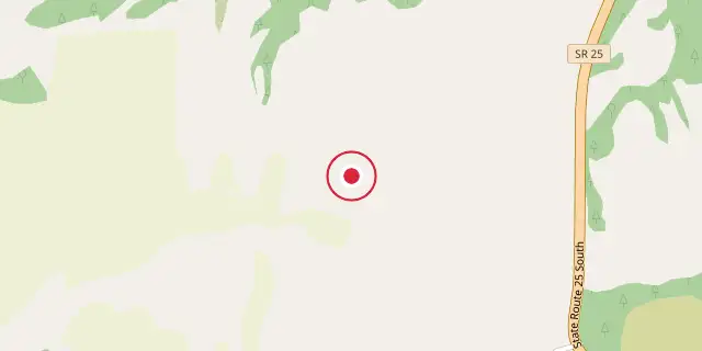
Coordinates: 48°06′25″N 118°12′47″W (48.1070, -118.2130) · Open in OpenStreetMap
Coordinates and connected clubs: the infobox of Wikipedia: Lake Roosevelt National Recreation Area (CC BY-SA 4.0). Map: drawn by Codexery from OpenStreetMap tiles.
Lake Roosevelt National Recreation Area spans the 130-mile Franklin D. Roosevelt Lake from Grand Coulee Dam to Northport, Washington. Created in 1946 as the Coulee Dam Recreational Area through an agreement with the Spokane Tribe, Colville Indian Reservation, and the Bureau of Reclamation, it is one of two recreation areas never established by Congress or the president. It was renamed for President Franklin D. Roosevelt in 1996, despite objections from the Colville Tribe.
History
St. Paul's Mission, a Jesuit church, was built in the 1830s near Fort Colville on a bluff above Kettle Falls. Fort Spokane, a U.S. Army outpost at the Columbia and Spokane rivers' meeting point, stood between the Colville and Spokane tribes and Spokane until its closure in 1929.
Frequently Asked Questions
Where is Lake Roosevelt National Recreation Area?
Lake Roosevelt National Recreation Area is located in Ferry, Stevens, Lincoln, and Grant counties, Washington, USA.
When was Lake Roosevelt National Recreation Area founded?
Lake Roosevelt National Recreation Area was founded in April 1946.
More in National Park Service National Recreation Areas
Sources
Compiled from Wikipedia and the sources listed below. Text from Wikipedia is available under CC BY-SA 4.0; this entry is adapted from it.
- Wikipedia: Lake Roosevelt National Recreation Area (CC BY-SA 4.0).
Spotted an error? Know more?
Reader corrections go straight into our review queue. Suggest an edit · How this site is sourced