Northamptonshire
The county of spires and squires
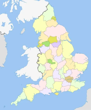
Northamptonshire ( ; abbreviated Northants.) is a ceremonial county in the East Midlands of England. It is bordered by Leicestershire, Rutland and Lincolnshire to the north; Cambridgeshire to the east; Bedfordshire and Buckinghamshire to the south; Oxfordshire to the south west; and Warwickshire to the west. Northampton is the largest settlement. The county has an area of 2364 km2. Northampton is in the centre of the county, and its other principal towns include Corby and Kettering in the north-east and Wellingborough in the centre. The east and south-west are rural. For local government purposes Northamptonshire comprises two unitary authority areas, North Northamptonshire and West Northamptonshire. The county historically included Peterborough and its surrounding area, called the Soke.
- Area
- 2,364 km² (913 sq mi)
- Population (2024 est.)
- 813,682
- Highest point
- Arbury Hill, 225 m (738 ft)
- Principal river
- River Nene
- Largest settlement
- Northampton
- Historic county town
- Northampton
- Notable battle
- Battle of Naseby (1645)
Quick Facts
- Official Name
- Northamptonshire
- Other Name
- Northants
- Region
- East Midlands
- Lord Lieutenant Office
- Lord Lieutenant of Northamptonshire
- Lord Lieutenant Name
- James Saunders Watson
- High Sheriff Office
- High Sheriff of Northamptonshire
- Area Total Km2
- 2364
- Area Total Rank
- 24th
- Ethnicity
- 85.7% White British / 4.7% Other White / 2.5% Asian British / 2.5% Black British / 4.6% Other
- Unitary Council1
- West Northamptonshire Council
- Unitary Council2
- North Northamptonshire Council
- Admin Hq
- Northampton
Facts from the source article.
Lore & Background
The county was first recorded in the Anglo-Saxon Chronicle (1011), as Hamtunscire: the scire (shire) of Hamtun (the homestead). The 'North' was added to distinguish Northampton from the other important Hamtun further south: Southampton – though the origins of the two names are in fact different. George Washington's great-grandfather, John Washington, emigrated in 1656 from Northamptonshire to Virginia.
Reader's Guide
The county is characterised by low, undulating hills, particularly to the west. They are the source of several rivers, including the Avon and Welland, which form much of the northern border; the Cherwell; and the Great Ouse. The River Nene is the principal river within the county, having its source in the southwest and flowing northeast past Northampton and Wellingborough. The highest point is Arbury Hill southwest of Daventry, at 225 m. There are Iron Age and Roman remains in the county, and in the seventh century it was settled by the Angles and Saxons, becoming part of Mercia. The county likely has its origin in the Danelaw as the area controlled from Northampton, which was one of the Five Boroughs. In the later Middle Ages and Early Modern Period the county was relatively settled, although Northampton was the location of engagements, including the 1264 Battle of Northampton during the Second Barons' War, the 1460 Battle of Northampton during the Wars of the Roses, and the decisive Battle of Naseby which destroyed the main Royalist army during the First English Civil War. During the Industrial Revolution Northamptonshire became known for its footwear, and the contemporary county has a number of small industrial centres which specialise in engineering and food processing.
Did You Know?
- The county historically included Peterborough and its surrounding area, called the Soke.
- The highest point is Arbury Hill southwest of Daventry, at 225 m.
- George Washington's great-grandfather, John Washington, emigrated from Northamptonshire to Virginia in 1656.
More in English Counties 1-24
Spotted an error? Know more?
This is a living reference — every entry is fact-audited, and reader corrections feed straight into our audit queue. Suggest an edit · See this site's audit record