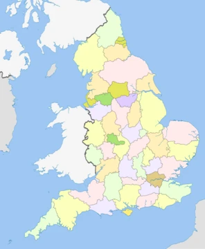
Cumberland
Historic county in North West England, now a unitary authority area.

Wikipedia / Wikimedia Commons
Cumberland is an area of North West England which was historically a county. The county was bordered by Northumberland to the north-east, County Durham to the east, Westmorland to the south-east, Lancashire to the south, and the Scottish counties of Dumfriesshire and Roxburghshire to the north. The county included the city of Carlisle, part of the Lake District and North Pennines, and the Solway Firth coastline.
- Area
- North West England
- Historical status
- County
- County town
- Carlisle
- Highest point
- Scafell Pike, 3,208 feet (978 m)
- Population (1841 census)
- 178038
- Abolished (administrative)
- 1974
- Re-established (unitary)
- 2023
Lore & Background
In the Early Middle Ages, Cumbria was part of the Kingdom of Strathclyde in the 'Old North', and its people spoke a Brittonic language now called Cumbric. The first record of the term Cumberland appears in AD 945, when the Anglo-Saxon Chronicle recorded that the area was ceded to Malcolm I, king of Alba (Scotland), by King Edmund I of England. At the time of the Domesday Book (AD 1086) most of the future county was part of Scotland, although some villages around Millom had been incorporated into Yorkshire. In AD 1092, King William Rufus of England invaded the Carlisle district, settling it with colonists. He created an Earldom of Carlisle, and granted the territory to Ranulf le Meschin. In 1133, Carlisle was made the see of a new diocese, largely identical with the area of the earldom. The area returned to the English crown in 1157, when Henry II of England took possession of the area from Malcolm IV of Scotland. Henry II formed two new counties from the former earldom: Westmorland and Carliol. By 1177, Carliol had become known as Cumberland. The border between England and Scotland was made permanent by the Treaty of York in 1237. Cumberland had an administrative function from the 12th century until 1974, when it was subsumed into the non-metropolitan county of Cumbria together with Westmorland and parts of Yorkshire and Lancashire. In 2023, the non-metropolitan county of Cumbria was dissolved and a new unitary authority area of Cumberland was created, which has similar boundaries to the historic county of Cumberland but excludes Penrith.
Reader's Guide
The highest point of the county is Scafell Pike, at 3,208 ft, the highest mountain in England. Carlisle is the county town. The county was historically divided into wards: Allerdale above Derwent, Allerdale below Derwent, Eskdale, Leath, and Cumberland Ward. The population of Cumberland in the 1841 census was 178,038.
Did You Know?
- The names Cumberland and Cumbria are derived from a Common Brittonic word meaning 'compatriots'.
- The Cumbric language is believed to have become extinct in the 12th century.
- Cumberland was historically a county from the 12th century until 1974.
More in English Counties 1-24
Spotted an error? Know more?
This is a living reference — every entry is fact-audited, and reader corrections feed straight into our audit queue. Suggest an edit · See this site's audit record