Buckinghamshire
A ceremonial county in South East England, home to the Chiltern Hills and the city of Milton Keynes.
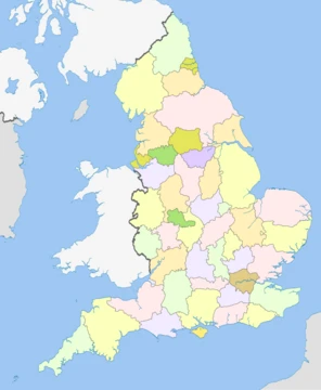
Buckinghamshire (, abbreviated Bucks) is a ceremonial county in South East England. It is bordered by Northamptonshire to the north, Bedfordshire to the north-east, Hertfordshire to the east, Greater London to the south-east, Berkshire to the south, and Oxfordshire to the west. The largest settlement is the city of Milton Keynes.
- area
- 1,874 km² (724 sq mi)
- estimated_population_2024
- 884,656
- largest_settlement
- Milton Keynes
- highest_point
- Haddington Hill (267 m / 876 ft)
- ceremonial_county_status
- Yes
- unitary_authorities
- Buckinghamshire Council and Milton Keynes City Council
Lore & Background
The name Buckinghamshire is Anglo-Saxon in origin and means 'The district (scire) of Bucca's home'. Bucca's home refers to Buckingham in the north of the county, and is named after the Anglo-Saxon landowner, Bucca. The county has been so named since about the 12th century; however, the county has existed since it was a subdivision of the kingdom of Mercia (585–919). The history of the area predates the Anglo-Saxon period and the county has a rich history starting from the Brittonic and Roman periods, though the Anglo-Saxons perhaps had the greatest impact on Buckinghamshire. Later, Buckinghamshire became an important political arena, with King Henry VIII intervening in local politics in the 16th century, and just a century later the English Civil War was reputedly started by John Hampden in mid-Bucks. Historically, the biggest change to the county came in the 19th century, when a combination of cholera and famine hit the rural county, forcing many to migrate to larger towns to find work. The expansion of London and establishment of the railways promoted the growth of towns in the south of the county such as Aylesbury, Amersham and High Wycombe, leaving Buckingham itself to the north as a relative backwater.
Reader's Guide
The county has an area of 1874 km2. For local government purposes the county comprises two unitary authority areas, Buckinghamshire and Milton Keynes. The county historically had slightly different borders, and included the towns of Slough and Eton. It is one of the home counties. The Chiltern Hills, an Area of Outstanding Natural Beauty, occupy the south of the county and contain its highest point, Haddington Hill (267 m). The Chilterns are the source of the River Ouzel, which flows across the lowland Vale of Aylesbury in the north of the county and through Milton Keynes before meeting the River Great Ouse at Newport Pagnell. The Thames forms part of the county's southern boundary. Notable amenities in the county include Pinewood Film Studios and Dorney rowing lake. Many national companies have headquarters or major centres in Milton Keynes. Heavy industry and quarrying is limited, with agriculture predominating after service industries.
Did You Know?
- The county includes part of Silverstone race track on the Northamptonshire border.
- The Great Ouse rises just outside the county in Northamptonshire and flows east through Buckingham, Milton Keynes and Olney.
- During the Second World War there were many Polish settlements in Bucks, Czechs in Aston Abbotts and Wingrave, and Albanians in Frieth.
More in English Counties 1-24
Spotted an error? Know more?
This is a living reference — every entry is fact-audited, and reader corrections feed straight into our audit queue. Suggest an edit · See this site's audit record