
Camino Real de Tierra Adentro
Royal road linking Mexico City to Santa Fe for over 300 years.

National Trails Office ( US National Park Service ) · Public domain
El Camino Real de Tierra Adentro, also known as the Silver Route, was a Spanish 2,560-kilometer-long road between Mexico City and Santa Fe, New Mexico, used from the late 16th century into the 19th century. It was one of several major 'royal roads' linking Mexico City to its northern territories during the Spanish colonial era. The route was actively used as a commercial thoroughfare for more than 300 years, primarily for transporting silver from northern mines.
- Length
- 2,560 km (1,590 mi)
- Period of use
- Late 16th century – late 19th century (declined with the arrival of railroads in the 1880s)
- Northern terminus
- Santa Fe, New Mexico
Lore & Background
Long before Europeans arrived, indigenous tribes had established the route as a major thoroughfare for hunting and trading, connecting the peoples of the Valley of Mexico with those of the north through exchange of turquoise, obsidian, salt, and feathers. By AD 1000, a flourishing trade network existed from Mesoamerica to the Rocky Mountains. After the fall of Tenochtitlan in 1521, Spanish conquistadors followed these native trails. In April 1598, Juan de Oñate's scouts, guided by a captured Indian named Mompil who drew a map in the sand, found the safe passage to the Río del Norte, arriving just south of present-day El Paso and Ciudad Juárez. They then mapped and extended the route to Española, where Oñate established the capital of the new province.
After the Pueblo Revolt of 1680, the Spanish Crown maintained a supply system called the conducta—wagon caravans departing annually or biennially from Mexico City to Santa Fe. The journey took six months, including rest periods. Travelers faced river floods, prolonged droughts, and the feared Jornada del Muerto—nearly 100 kilometers of barren desert without water. Bandits threatened from Mexico to Querétaro, while north of Zacatecas, Chichimeca natives posed the greatest danger, often stealing horses and taking women and children. A series of presidios provided troop relays for protection. During the 18th century, sites along the route increased significantly; the villa of San Felipe el Real (modern Chihuahua) became the most important commercial center, and El Paso del Norte grew into a major terminal, though its population in the 18th century varied and it was not consistently the largest urban center on the northern frontier.
Reader's Guide
El Camino Real de Tierra Adentro served as the primary artery for Spanish colonial expansion and commerce in northern New Spain for over three centuries. Its significance lies in its role as the conduit for silver from northern mines to Mexico City, fueling the Spanish economy, and as a lifeline for settlements, missions, and presidios in what is now the southwestern United States. The route facilitated cultural and economic exchange between Spanish colonists and indigenous peoples, including the Chichimecas, Comanches, and Utes, who traded at fairs such as the Fair de Taos. The road's legacy is preserved today through its designation as a UNESCO World Heritage site (for the Mexican section) and as a National Historic Trail in the United States, overseen by the National Park Service and the Bureau of Land Management. The trail's history reflects the challenges of frontier life—harsh geography, indigenous resistance, and the enduring human drive to connect distant territories. Its inclusion on the World Heritage List in 2010 and the National Register of Historic Places in 2014 underscores its enduring importance as a cultural and historical landmark.
Did You Know?
- The road was also known as the Silver Route, primarily used for transporting silver from northern mines.
- A captured Indian named Mompil drew a map in the sand showing the safe passage to the Río del Norte in 1598.
- The most feared section was the Jornada del Muerto, nearly 100 km of barren desert without water sources.
- The conducta supply caravans departed annually or biennially, not every three years, especially after the Pueblo Revolt.
Indigenous Roots of the Route
Long before any European boot touched the soil, the northern central steppe of Mexico was already threaded with a web of exchange that would one day be formalized into a royal highway. The indigenous peoples of the Valley of Mexico and the northern plains had, over centuries, carved out a major thoroughfare for hunting and trading. Goods like turquoise, obsidian, salt, and feathers moved along these paths, binding communities together in a network of mutual dependence. By the year 1000 CE, this trade web had expanded to stretch from Mesoamerica all the way to the Rocky Mountains, a testament to the sophistication of pre-contact economic life. When Spanish colonists later pressed northward after the fall of Tenochtitlan in 1521, they did not blaze a new trail so much as they followed the well-worn tracks that native traders had maintained for generations. The very geography of the route—its passes, its water sources, its logical sequence of waypoints—was inherited from those earlier, indigenous networks.
The Conducta and the Perils of the Road
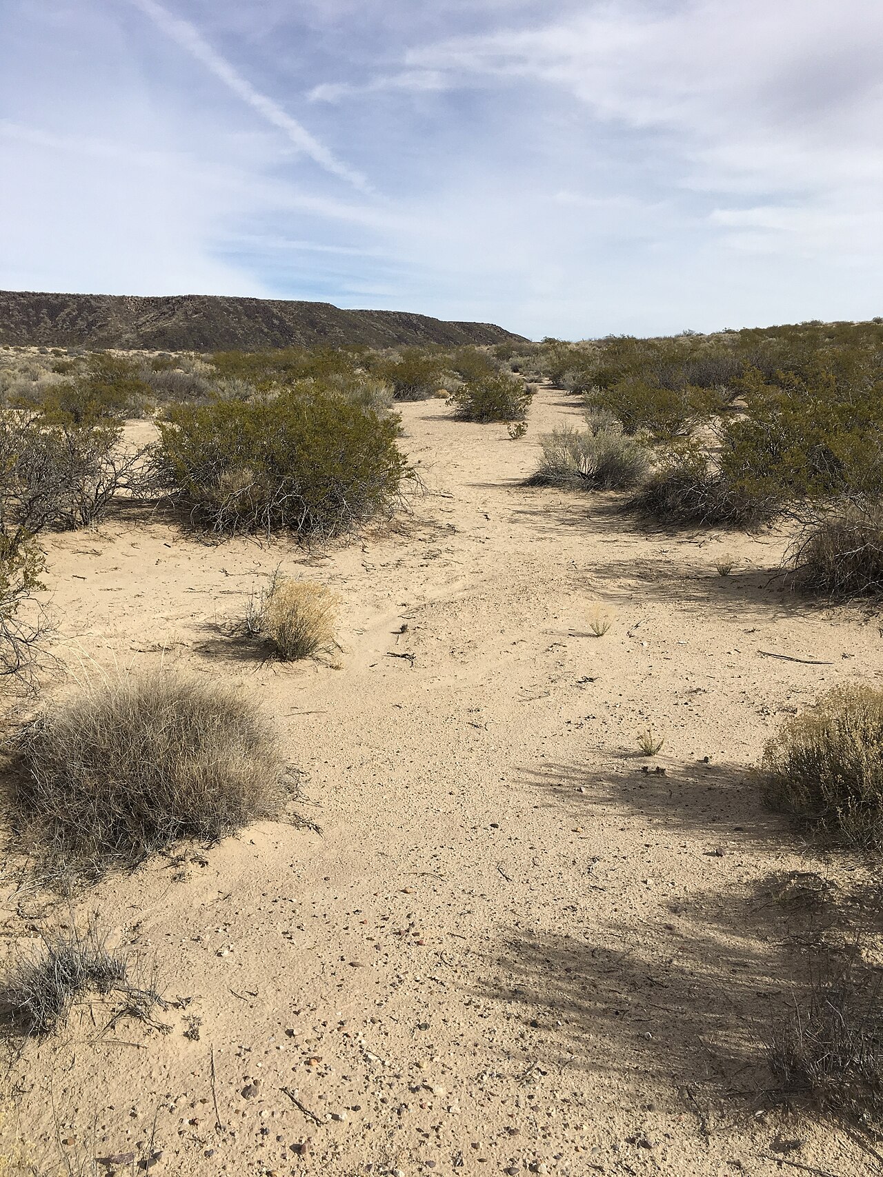
After the Pueblo Revolt of 1680 drove the Spanish from Nuevo México, the Crown faced a dilemma: abandon the province entirely or keep a lifeline open to the subjects still there. They chose the latter, instituting the conducta—a system of wagon caravans that rolled out of Mexico City every three years, bound for Santa Fe along the Camino Real. The journey consumed roughly six months, with two to three weeks of rest built in along the way. The dangers were manifold and brutal. River floods could strand a caravan for weeks on a muddy bank. Prolonged droughts turned water into a scarce commodity. The most dreaded stretch was the Jornada del Muerto, nearly 100 kilometres of featureless desert beyond El Paso del Norte where no water existed for men or beasts. Bandits preyed on caravans from Mexico to Querétaro, while north of southern Zacatecas the Chichimecas posed the gravest threat, targeting horses and sometimes taking women and children. Presidios dotted the route to relay troops, and in the most perilous stretches, caravans would wheel their wagons into a defensive circle at night, sheltering people and animals inside.
Silver, Settlement, and the Eighteenth-Century Boom
For more than three centuries, from the mid-sixteenth century through the nineteenth, the Camino Real served as a commercial artery, its primary cargo the silver hauled south from the northern mines. Over those decades and centuries the road was steadily improved, and as haciendas and population centers sprang up along its length, the once-perilous journey grew incrementally safer. The eighteenth century saw a dramatic multiplication of settlements along the route. The stretch between Durango and Santa Fe earned the nickname the Chihuahua Trail, and the villa of San Felipe el Real—founded in 1709 to service the surrounding mines—rose to become the most important commercial and financial hub on that segment. To the north, San Felipe Neri de Alburquerque, established in 1706, leveraged its defensive position on the road to become the principal center of commercial exchange between Nuevo México and the wider territory of New Spain. What had been a bare trail through open country was, by this era, a corridor of towns, trade, and institutional life.
Modern Recognition and Stewardship
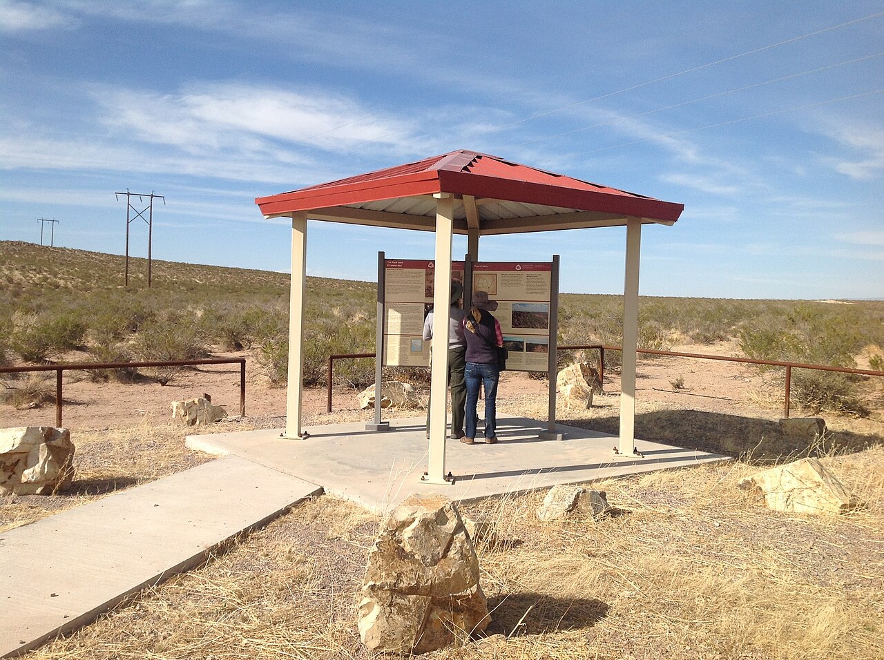
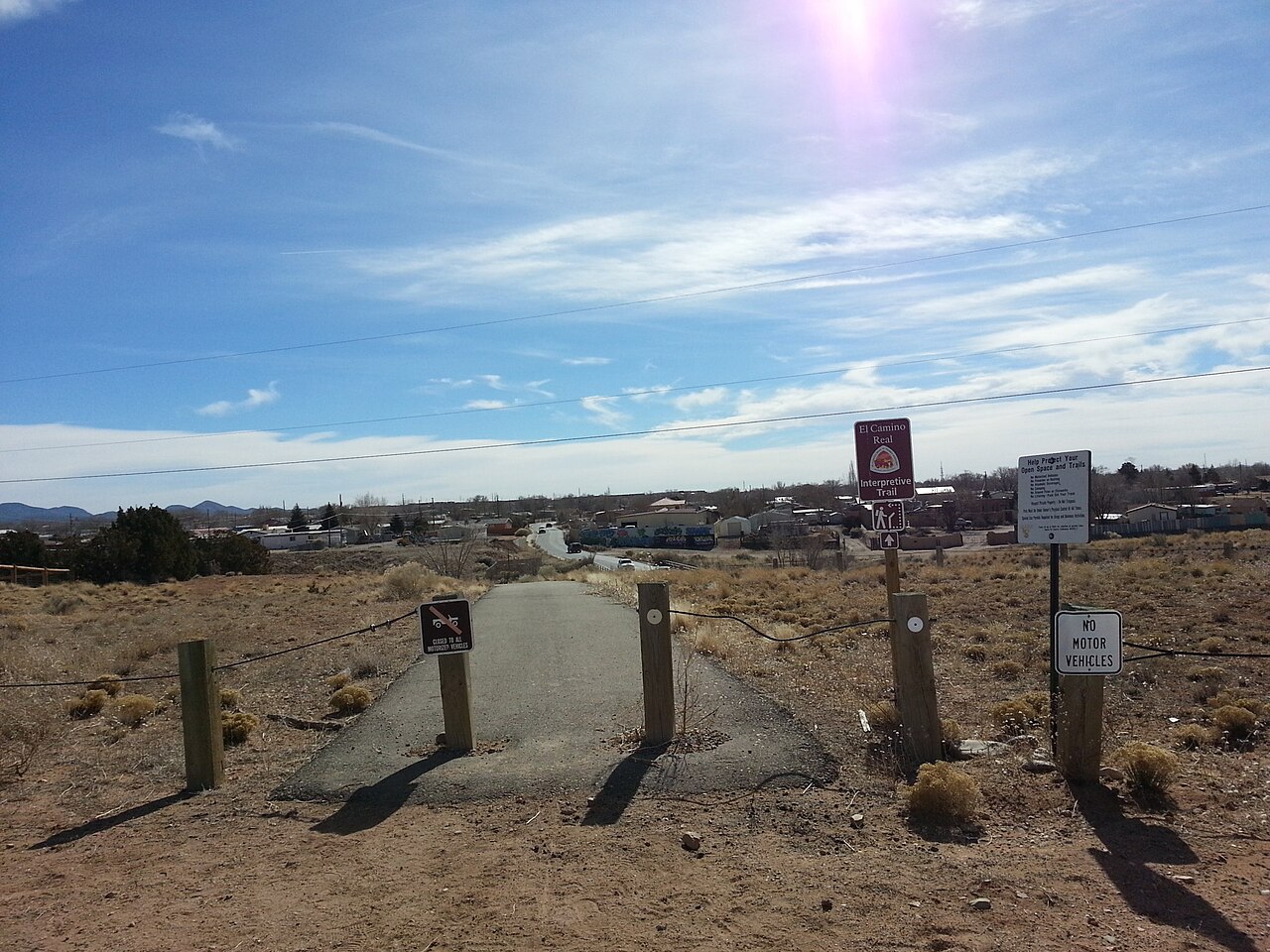
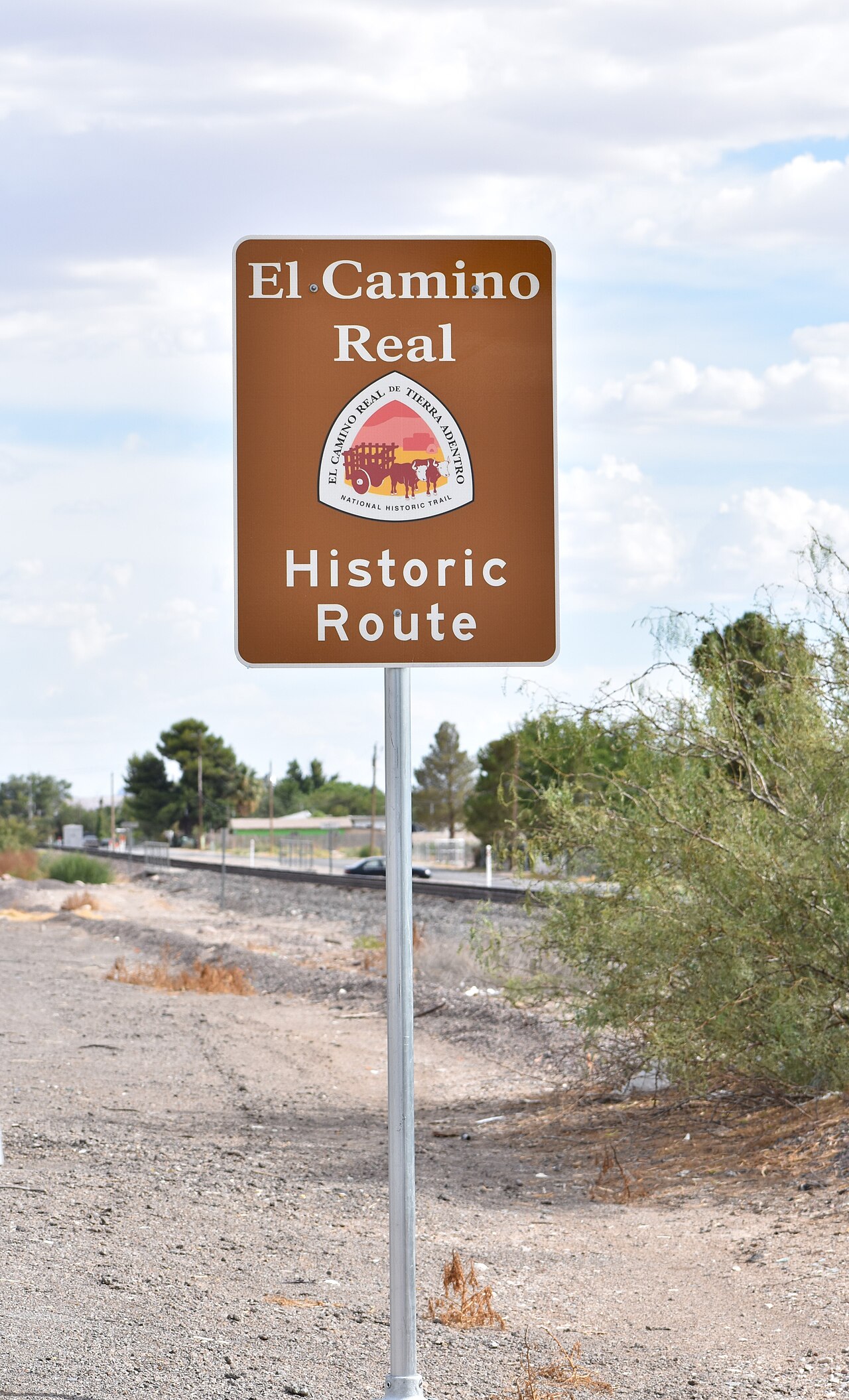
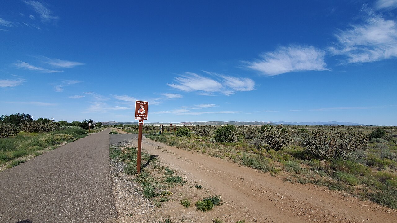
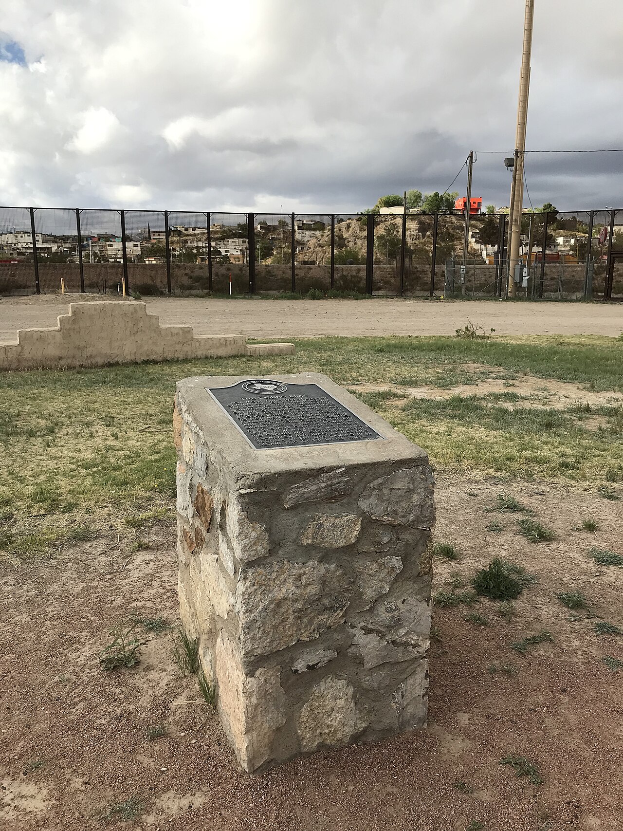
The legacy of the Camino Real has not been left to fade into memory. In 2010, a collective inscription on the UNESCO World Heritage List encompassed 55 sites plus five pre-existing World Heritage Sites along the 1,400-kilometre Mexican stretch, running from the Historic Center of Mexico City—already a standalone World Heritage Site—north to Valle de Allende in Chihuahua. The designated ensemble includes historic cities, towns, bridges, haciendas, and other monuments that together tell the story of colonial trade and settlement. On the American side, the 404-mile segment within the United States was proclaimed the El Camino Real de Tierra Adentro National Historic Trail on October 13, 2000, joining the broader National Historic Trail system. Day-to-day oversight is shared between the National Park Service and the U.S. Bureau of Land Management, with community support from the El Camino Real de Tierra Adentro Trail Association, or CARTA. In 2014, a portion of the trail near San Acacia, New Mexico, received its own listing on the U.S. National Register of Historic Places, adding another layer of formal protection to a route whose story stretches back more than four centuries.
Gallery
Frequently Asked Questions
What is the Camino Real de Tierra Adentro?
It is a 2,560-kilometer colonial-era road stretching from Mexico City northward to Santa Fe, New Mexico. Often called the Silver Route, it served as one of the principal royal highways linking the viceroyalty's capital to its northern frontier territories.
What was the Camino Real de Tierra Adentro used for?
For more than three centuries the route functioned as a commercial artery, primarily hauling silver from northern mining operations down to Mexico City. It also carried other goods, travelers, and official communications along its full length.
When was the Camino Real de Tierra Adentro in active use?
The road saw regular traffic from the late 1500s through the late 1800s. Its practical role declined sharply once railroads reached the region in the 1880s, making overland wagon travel obsolete.
How long is the Camino Real de Tierra Adentro?
The full route measures roughly 2,560 kilometers (about 1,590 miles), running from its southern terminus in Mexico City to its northern endpoint in Santa Fe, New Mexico.
Why is the Camino Real de Tierra Adentro a UNESCO World Heritage Site?
It is recognized as an outstanding surviving example of a long-distance colonial trade corridor that sustained economic and cultural exchange for over 300 years. Its preserved bridges, waystations, and church sites document the Spanish colonial infrastructure that shaped the American Southwest.
More in World Heritage Sites in Mexico 1-24
Spotted an error? Know more?
Reader corrections go straight into our review queue. Suggest an edit · How this site is sourced