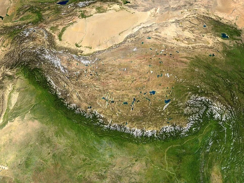
Canadian Shield
Ancient geologic core of North America, rich in minerals.

via Wikipedia: Canadian Shield · see source
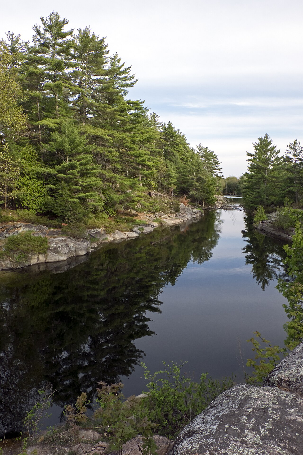
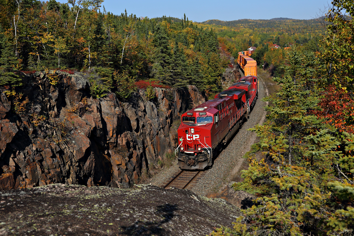
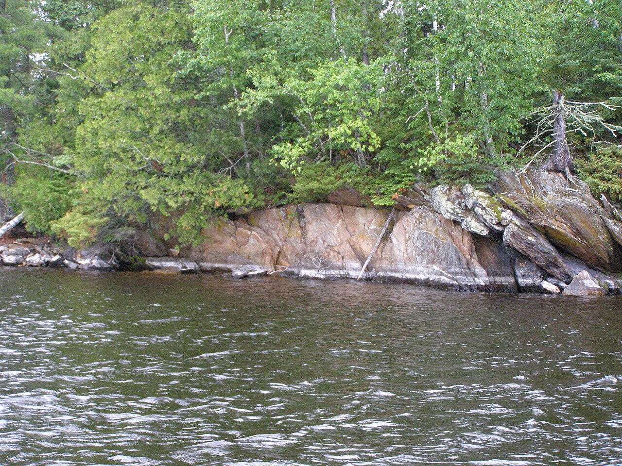
The Canadian Shield—also known as the Laurentian Shield or Laurentian Plateau—is a massive geologic feature made of ancient Precambrian igneous and high-grade metamorphic rock. It forms the North American Craton (Laurentia), the continent’s old geologic core. Because of past glaciation, the soil here is thin, and you can often see the igneous bedrock poking through, a reminder of the region’s long volcanic history. This deep, connected bedrock stretches across eastern and central Canada and dips south into the northern parts of the contiguous United States.
Geographically, the shield is a physiographic region split into four smaller provinces: the Davis, James, Kazan, and Laurentian regions. It’s part of the larger Laurentia craton, marking the area where glaciers scraped the land down to bare rock, leaving thin soils behind. The shield is estimated to be about 4.28 billion years old. It once had jagged peaks taller than any mountains today, but millions of years of erosion have worn them into rolling hills. Including Greenland, the shield is roughly circular, with Hudson Bay at its center and the northeast edge of Greenland as its boundary. It covers much of Greenland, all of Labrador and the Great Northern Peninsula of Newfoundland, most of Quebec north of the St. Lawrence River, much of Ontario (including northern parts of the Ontario Peninsula), the Adirondack Mountains of New York, the northernmost tip of Lower Michigan and all of Upper Michigan, northern Wisconsin, northeastern Minnesota, central and northern Manitoba, northern Saskatchewan, a small part of northeastern Alberta, mainland Northwest Territories east of a line from the Saskatchewan-Alberta border, most of Nunavut’s mainland, and, in the Arctic Archipelago, Baffin Island and large bands through Somerset, Southampton, Devon, and Ellesmere islands. The exposed area totals about 8,000,000 square kilometers (3,100,000 square miles). The shield’s true extent is even larger, stretching from the Western Cordillera to the Appalachians and as far south as Texas, but younger rocks and sediment cover those parts.
Geologically, the Canadian Shield is one of Earth’s oldest regions, with rocks dating from 2.5 to 4.2 billion years. Its many rivers and lakes are a classic example of a deranged drainage system—glaciation and post-glacial rebound disrupted the watersheds. Originally, the shield was a region of very large, tall mountains (around 12,000 meters or 39,000 feet high) with lots of volcanic activity, but erosion over 500 million years has worn it down to its current low relief. This erosion exposed the mountain roots, which appear as greenstone belts—volcanic rock altered by metamorphism and surrounded by granitic rock. These belts range in age from 3.6 to 2.7 billion years. Much of the granitic rock belongs to the tonalite–trondhjemite–granodiorite family, typical of Archean continental crust. Many of Canada’s major ore deposits are linked to these greenstone belts. The Sturgeon Lake Caldera in Kenora District, Ontario, is one of the world’s best-preserved mineralized Neoarchean caldera complexes, dating to 2.7 billion years. The shield also contains the Mackenzie dike swarm, the largest known on Earth. The North American craton is the bedrock at the continent’s heart, and the Canadian Shield is its largest exposed part. The shield is part of an ancient continent called Arctica, formed about 2.5 billion years ago during the Neoarchean. Mountains have deep roots that float on the denser mantle like icebergs at sea; as they erode, their roots rise and erode in turn. The rocks now at the shield’s surface were once far below ground, where high pressure and temperature created ideal conditions for mineralization. Though heavily eroded, large mountains still exist in Canada’s far north as the Arctic Cordillera—a deeply dissected range stretching from northernmost Ellesmere Island to the northern tip of Labrador. Its highest peak is Barbeau Peak in Nunavut, at 2,616 meters (8,583 feet) above sea level. Precambrian rock makes up most of the bedrock.
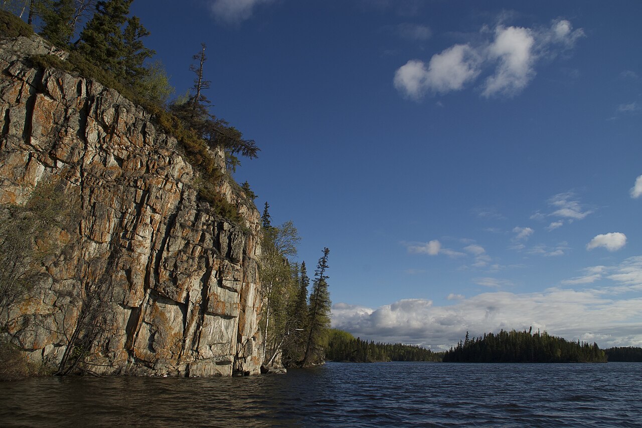
Ecologically, the shield’s surface has very thin soil over bedrock, with many bare outcrops, thanks to severe glaciation during ice ages that scraped the rock clean. The lowlands have dense soil unsuitable for forestation, plus many marshes and bogs (muskegs). The rest of the region has coarse soil that doesn’t hold moisture well and is frozen year-round with permafrost. Forests are less dense in the north. In the south, parts of the shield are covered by vast boreal forests that support natural ecosystems and a major logging industry. This boreal forest gives way to the Eastern Canadian Shield taiga across northern Quebec and most of Labrador. The Midwestern Canadian Shield forests, running west from Northwestern Ontario, have boreal forests that turn into taiga in the northernmost parts of Manitoba and Saskatchewan. Hydrologic drainage is generally poor, partly due to the soil-compacting effects of glaciation. Tundra typically dominates the northern areas.
- age
- approximately 4.03 billion years (Ga) in oldest known rocks
Lore & Background
The Canadian Shield is a physiographic region comprising four smaller provinces: the Davis, James, Kazan, and Laurentian regions. It once had jagged peaks higher than any of today's mountains, but hundreds of millions to billions of years of erosion have transformed these mountains to rolling hills. The shield was originally an area of very large, very tall mountains with much volcanic activity, but the area was eroded to nearly its current topographic appearance of relatively low relief over vast spans of time. Erosion has exposed the roots of the mountains, which take the form of greenstone belts in which belts of volcanic rock altered by metamorphism are surrounded by granitic rock.
Reader's Guide
The Canadian Shield is significant as the largest exposed part of the North American craton's bedrock and as one of the world's richest areas for mineral ores, containing substantial deposits of nickel, gold, silver, and copper. It is also notable for its deranged drainage system of rivers and lakes caused by glaciation and post-glacial rebound. The shield's ecology features thin soil, boreal forests, taiga, and tundra, supporting diverse wildlife including beaver, caribou, moose, wolves, and polar bears. Its mining towns, such as Sudbury, Ontario (site of an ancient meteorite impact crater), and the Flin Flon greenstone belt, have yielded vast quantities of sulfide ores and diamonds. The shield also contains the Mackenzie dike swarm, the largest known on Earth, and the Sturgeon Lake Caldera, one of the world's best preserved mineralized Neoarchean caldera complexes.
Did You Know?
- The Canadian Shield once had jagged peaks higher than any of today's mountains, though their exact height is not precisely known.
- The Sturgeon Lake Caldera in Kenora District, Ontario, is one of the world's best preserved mineralized Neoarchean caldera complexes, dating to 2.7 Ga.
- The Mackenzie dike swarm, found in the Canadian Shield, is the largest dike swarm known on Earth.
- The Sudbury Basin is an ancient meteorite impact crater, and ejecta from it has been found in the Rove Formation.
- The Diavik mine, the longest running diamond mine in Canada, stopped producing diamonds in 2026 after 23 years.
Ancient Origins and the Long Erosion
The Canadian Shield preserves some of the oldest rock on Earth, with sections reaching back roughly 4.28 billion years. In its earliest form, this region was nothing like the gently undulating terrain visible today. Instead, it was dominated by colossal peaks—estimated at around 12,000 metres in height—shaped by intense volcanic activity that built the continent's deep interior. Over more than 500 million years, relentless erosion ground those towering ranges down to the low-relief landscape we now recognize. What lies at the surface are the exposed roots of those ancient mountains, visible as greenstone belts where metamorphosed volcanic rock is encased in granitic formations. These belts span an age range from 3.6 to 2.7 billion years and belong to a distinctive family of tonalite, trondhjemite, and granodiorite rocks that typify Archean continental crust. The shield thus stands as a living archive of Earth's earliest geological chapters, preserving evidence of processes that predate complex life by hundreds of millions of years.
Vast Geographic Reach and Provincial Structure
The Canadian Shield is organized into four smaller physiographic provinces—the Davis, James, Kazan, and Laurentian Regions—and it marks the portion of the Laurentia craton most profoundly reshaped by glacial scraping. When the Greenland segment is included, the shield takes on an almost circular outline, with Hudson Bay sitting near its centre. Its exposed surface spans roughly 8 million square kilometres, stretching across most of Greenland, all of Labrador, the Great Northern Peninsula of Newfoundland, much of Quebec north of the St. Lawrence, large swaths of Ontario, the Adirondack Mountains, Upper and Lower Michigan, northern Wisconsin, northeastern Minnesota, central and northern Manitoba, portions of Saskatchewan and Alberta, and significant areas of the Northwest Territories and Nunavut, including Baffin Island and bands through several Arctic Archipelago islands. The true geological footprint extends even further, reaching from the Western Cordillera to the Appalachians and as far south as Texas, though those outer margins are buried beneath much younger sedimentary layers.
Glacial Legacy and Living Ecosystems
The present-day surface of the shield tells a story written by ice. Repeated glaciation during the ice ages scraped the bedrock nearly clean, leaving only a thin veneer of soil through which igneous outcrops are frequently visible. In the lowlands, dense compacted ground supports marshes and bogs known as muskegs, while the broader region features coarse, moisture-poor soil that remains locked by permafrost for much of the year. Southward, vast boreal forests blanket the landscape, sustaining both natural ecosystems and a significant logging industry. Further north, these forests thin into the Eastern Canadian Shield taiga across northern Quebec and most of Labrador, and into Midwestern taiga in the far northern reaches of Manitoba and Saskatchewan. Tundra dominates the most northerly zones. The region teems with wildlife—caribou, moose, wolves, wolverines, mink, otters, grizzly and black bears, and polar bears, the latter finding critical denning sites in places like Wapusk National Park. The countless lakes and rivers, a product of deranged drainage from glacial disturbance, host abundant sport fish including walleye, northern pike, lake trout, and yellow perch.
Mineral Wealth and Structural Marvels
Beneath the shield's modest topography lies a treasury of geological formations of global significance. The greenstone belts—where metamorphosed volcanic rock is flanked by granitic intrusions—are intimately linked to many of Canada's major ore deposits, a connection that has shaped the nation's mining history for generations. Among the shield's most remarkable individual features is the Sturgeon Lake Caldera in Ontario's Kenora District, recognized as one of the world's best-preserved mineralized Neoarchean caldera complexes at 2.7 billion years old. Equally striking is the Mackenzie dike swarm, the largest collection of dikes known anywhere on Earth. The shield also formed part of an ancient supercontinent called Arctica, assembled during the Neoarchean era around 2.5 billion years ago. Because the rocks now at the surface were once buried at tremendous depths, the extreme pressures and temperatures experienced there created ideal conditions for mineralization. The North American craton, of which the shield is the largest exposed portion, remains the bedrock heart of the entire continent.
Gallery
Frequently Asked Questions
What is the Canadian Shield?
The Canadian Shield, also known as the Laurentian Shield or Laurentian Plateau, is a vast expanse of exposed Precambrian igneous and high-grade metamorphic rock that makes up the ancient geologic core of the North American continent. It essentially forms the North American Craton, called Laurentia.
How old is the Canadian Shield?
The oldest rocks identified within the shield date to roughly 4.03 billion years, while other sections go back about 2.5 billion years. That makes it one of the oldest solid crust formations anywhere on Earth.
What does the Canadian Shield's landscape look like?
Because repeated glaciation scraped the region down to just a thin veneer of soil, igneous bedrock is commonly visible right at the surface. The result is a rugged, rocky terrain rather than the deep, fertile topsoil you'd expect in younger plains.
Why is the Canadian Shield important?
It underpins the entire structural foundation of the North American continent as its ancient geologic core. The shield is also rich in minerals, making it a key area for both geological research and resource exploration.
What types of rock make up the Canadian Shield?
The shield is built primarily from Precambrian igneous rock and high-grade metamorphic rock. These formations represent some of the earliest solid crust to ever form on the planet.
More in Plateaus And Plains 1-24
Spotted an error? Know more?
This is a living reference — every entry is fact-audited, and reader corrections feed straight into our audit queue. Suggest an edit · See this site's audit record