
Carte du Ciel
Ambitious but unfinished international star-charting project.

Wikimedia Commons · Public domain
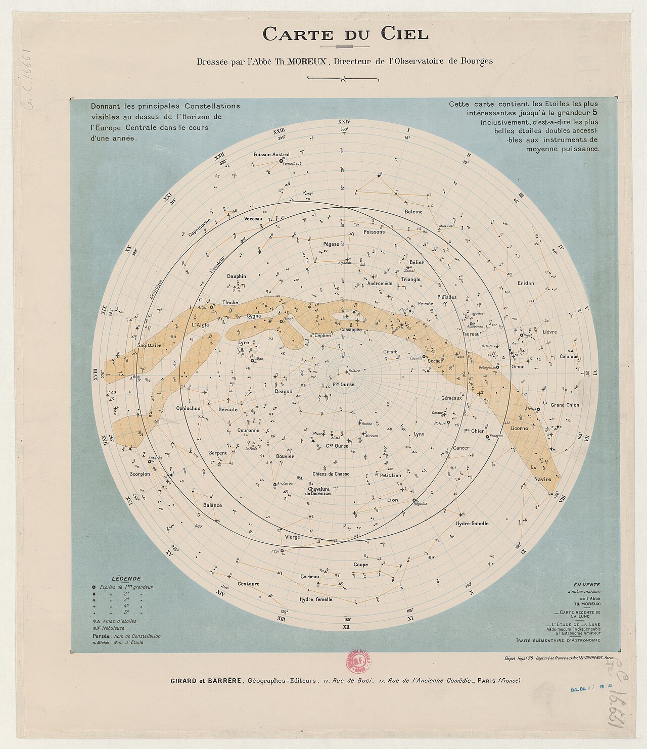
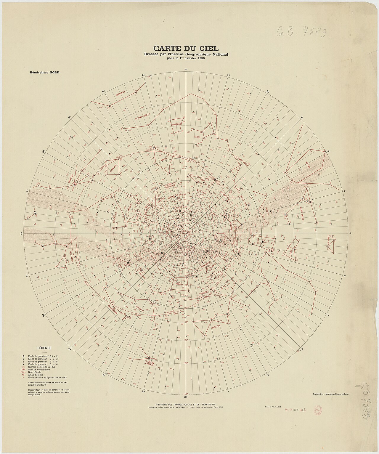
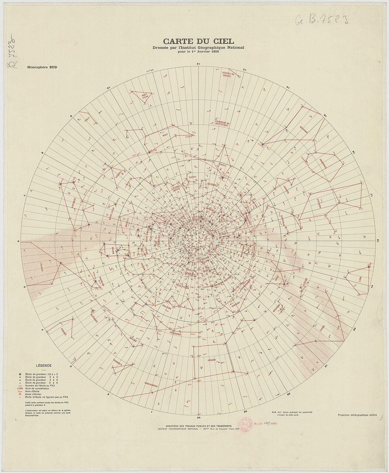
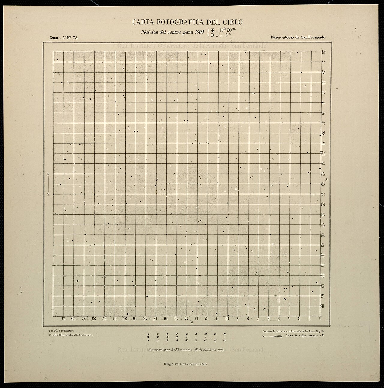
The Carte du Ciel (French for 'Map of the Sky') was one of two components of a vast international astronomical project initiated in the late 19th century to catalogue and map the positions of millions of stars. Twenty observatories worldwide participated, but the Carte du Ciel component was never completed, and its coverage is incomplete rather than a precise half of the sky.
- field
- Astronomy
- known_for
- International star-mapping project to photograph stars to 14th magnitude
- start_year
- 1887
- end_year
- Never completed
- participating_observatories
- 20
- goal_magnitude
- 14
Lore & Background
The Carte du Ciel was conceived at the Astrographic Congress of April 1887, organized by Paris Observatory director Amédée Mouchez. The project aimed to photograph all stars down to 14th magnitude using long-exposure plates, typically three 20-minute exposures displaced to form an equilateral triangle with 10-arcsecond sides. These plates were to be reproduced and distributed as charts, unlike earlier sky maps based on transit instrument coordinates.
Reader's Guide
The Carte du Ciel was the more ambitious of the two linked projects, but it proved excessively expensive to photograph and reproduce, often via engraved copper plates. Many participating observatories either did not start or did not complete their assigned zones. The plates that were taken generally still exist but cover only half the sky, archived at their original observatories. For decades the project was seen as a marginal scientific profit, but the appearance of the Hipparcos Catalogue in 1997 led to renewed interest. A very few Carte du Ciel plates have recently been re-measured and re-analyzed using Hipparcos data, allowing high-accuracy proper motions to be derived for millions of stars. The project's legacy lies in the historical plate material, which now provides a century-old baseline for measuring stellar motions.
Did You Know?
- The Carte du Ciel was never completed, and its coverage is incomplete rather than a precise half of the sky.
- Most Carte du Ciel plates used three exposures of 20 minutes each, displaced to form an equilateral triangle.
- The plates were typically reproduced via engraved copper plates (photogravure), which proved excessively expensive.
- Many Carte du Ciel plates have been re-measured and used in major astrometric projects like the UCAC, leveraging data from the Hipparcos Catalogue.
Origins and Dual Ambition
In April 1887, the director of Paris Observatory, Amédée Mouchez, convened a congress of more than fifty astronomers in the French capital, driven by his conviction that the newly available dry plate photographic process could transform how humanity charted the heavens. The result was an unprecedented international commitment: twenty observatories spread across the globe pledged their resources to a single, sweeping programme. Two distinct but linked objectives emerged from that gathering. The first, the Astrographic Catalogue, aimed to photograph the entire sky down to eleventh magnitude, bridging the gap left by older transit and meridian circle instruments that had only reached eighth magnitude. This would furnish a dense reference framework of star positions. The second, the Carte du Ciel, pushed further, targeting stars as faint as fourteenth magnitude and producing a set of reproduced photographic charts rather than the coordinate-based maps that had dominated before. Together, these twin goals set the stage for one of the most ambitious collaborative efforts in the history of astronomy.
Standardized Instruments and Decades of Exposure
To ensure that plates from every participating observatory shared a common scale of roughly sixty arcseconds per millimetre, the project mandated a uniform telescope design. Approximately half of the twenty sites ordered their normal astrographs from the workshop of Paul and Prosper Henry in France, while the remainder sourced theirs from Howard Grubb's factory in Dublin. These instruments featured an aperture near thirteen inches and a focal length of eleven feet, yielding a two-degree by two-degree field of view. Each observatory was assigned a specific declination band, and to guard against plate defects, every region of sky was imaged twice in a corner-to-centre overlap pattern that also extended across zone boundaries. The first Astrographic Catalogue plate was exposed in August 1891 at the Vatican Observatory, where the full set of exposures stretched over more than twenty-seven years. The final plate was captured in December 1950 at the Royal Observatory of Belgium in Brussels, though the bulk of the observing fell between 1895 and 1920. In total, more than twenty-two thousand glass plates were produced.
The Human Computers Behind the Numbers
Behind the vast archive of photographic plates lay an equally vast and painstaking labour of measurement. Each plate had to be examined by eye, with positions recorded by hand, a process that stretched over many years. The task of extracting star coordinates was delegated to large teams of people whose job title was simply 'computer' – a term that, before acquiring its modern electronic connotation, denoted a human being who performed calculations. Women were frequently recruited for this work, partly for economic reasons; among the most notable were Dorothea Klumpke in Paris, and Annie Russell and Alice Everett at Greenwich. These individuals would manually measure each star's position relative to the dozen or so reference stars visible on that particular plate, then carry out the arithmetic to derive right ascension and declination. The project's positional accuracy target was half an arcsecond per image, and the limiting magnitude of eleven was routinely exceeded, with some observatories measuring stars as faint as thirteenth magnitude. In the end, some 4.6 million stars, represented by 8.6 million individual images, were catalogued across 254 printed volumes of raw rectangular coordinates published between 1902 and 1964.
A Legacy Buried and Reborn
Despite the sheer scale of the undertaking, the Carte du Ciel was never brought to completion, and the Astrographic Catalogue, though eventually published in its full 254 volumes, languished in obscurity for nearly half a century. The data existed only as printed pages of rectangular coordinates and transformation formulae, with no machine-readable format available, making them extraordinarily difficult for modern astronomers to exploit. For decades the plates and their catalogues were effectively ignored, a monument to an era of painstaking manual astronomy that had been overtaken by new techniques. Then, in 1997, the publication of the Hipparcos Catalogue triggered a remarkable reversal. The historical plate material, once considered obsolete, found new scientific relevance as a valuable resource for studying stellar proper motions and long-term positional changes. What had been a forgotten archive of glass plates and hand-written measurements was suddenly re-examined, demonstrating that the legacy of that late-nineteenth-century collaboration could still yield meaningful results more than a century after the first exposures were made.
Gallery
Frequently Asked Questions
What is the Carte du Ciel?
The Carte du Ciel, meaning 'Map of the Sky' in French, was a late-19th-century international programme to photographically chart the positions of millions of stars. It formed one of two major components of a broader celestial surveying effort.
When did the Carte du Ciel project start?
The initiative was launched in 1887 as a coordinated multinational effort to produce a comprehensive photographic star atlas. It was designed to operate alongside a second, complementary component of the same overarching programme.
Why is the Carte du Ciel considered unfinished?
Although twenty observatories around the world contributed plates and measurements, the Carte du Ciel component was never brought to full completion. Its sky coverage remains partial rather than representing a clean, defined fraction of the celestial sphere.
How many observatories took part in the Carte du Ciel?
A total of twenty observatories from various countries were assigned portions of the sky to photograph and measure. Each site handled a specific region within the larger mapping scheme.
What magnitude limit did the Carte du Ciel target?
The project aimed to record stars down to the 14th magnitude using photographic plates. This made it one of the earliest large-scale attempts to extend star catalogues far beyond what is visible to the unaided eye.
More in Astronomical catalogues 1-24
Spotted an error? Know more?
This is a living reference — every entry is fact-audited, and reader corrections feed straight into our audit queue. Suggest an edit · See this site's audit record