North West Cape
Peninsula in Western Australia with oil discovery and naval station.

United Kingdom Hydrographic Office · Public domain
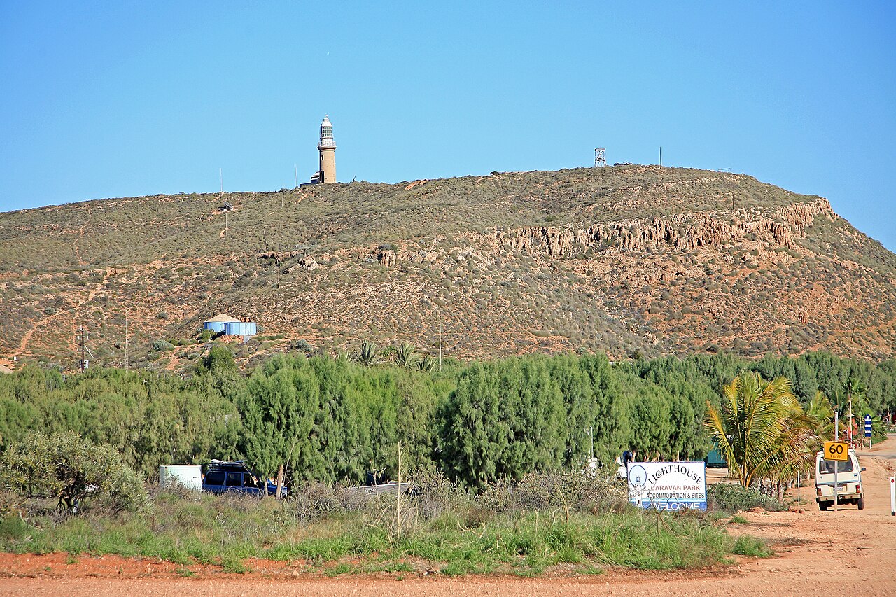
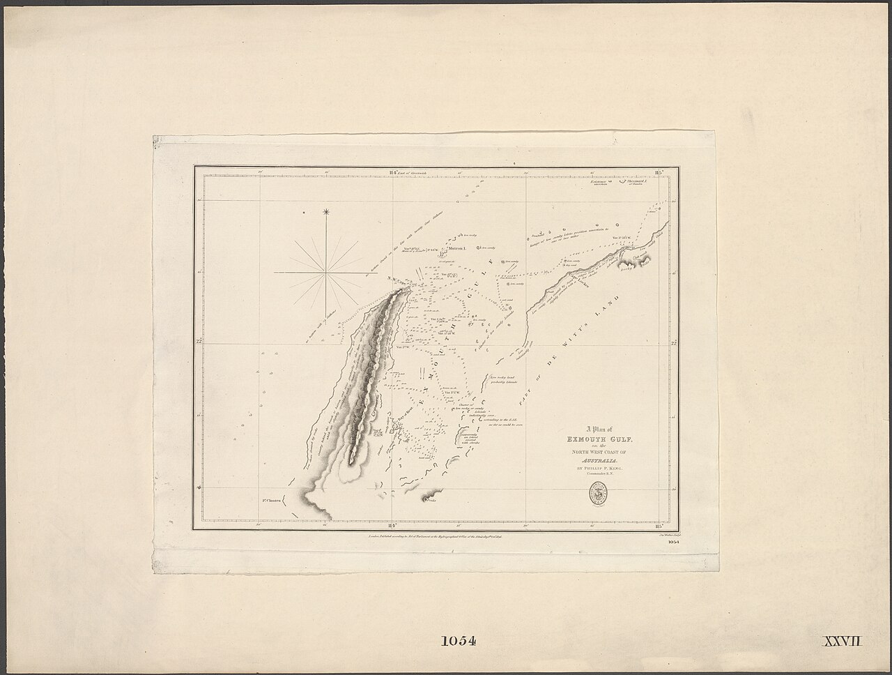
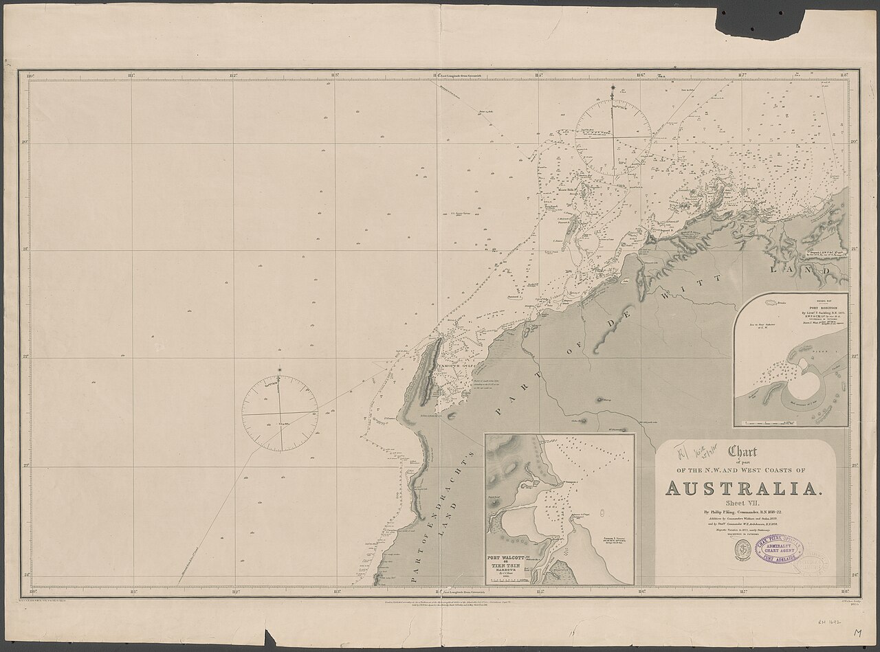
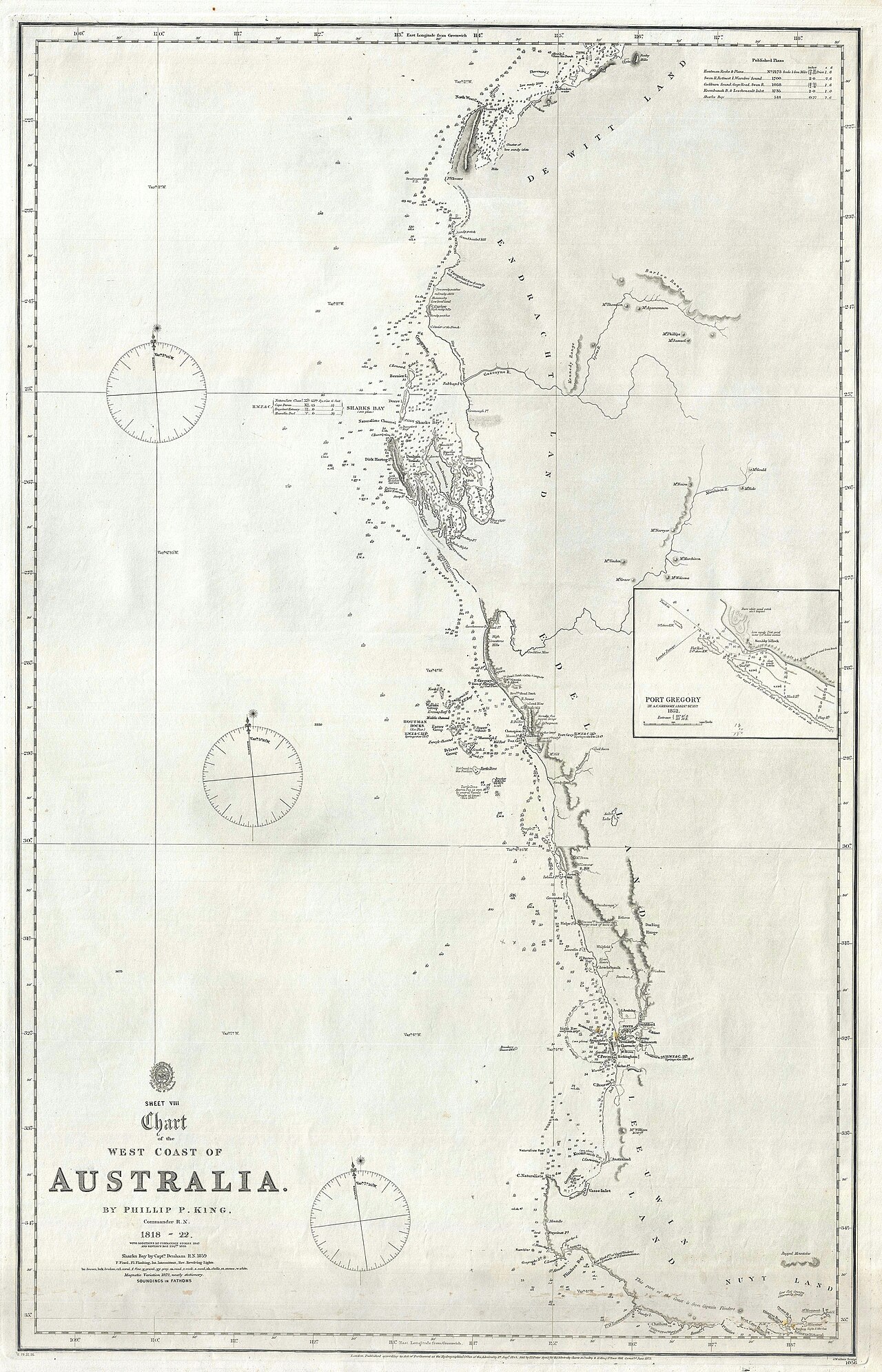
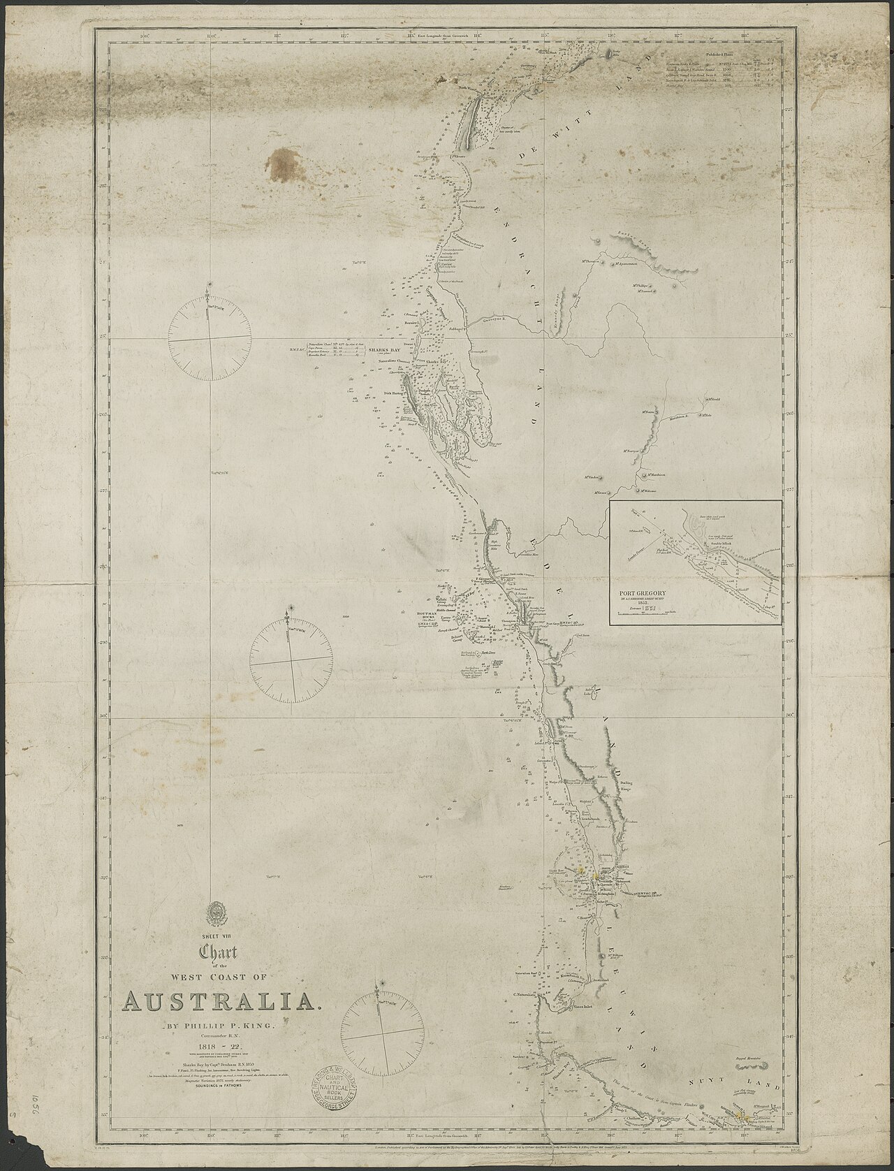
North West Cape is a peninsula in the north-west of Western Australia, located in the Gascoyne region. The spine of this landform is formed by Cape Range, while the Ningaloo Reef runs along its western coastline. The town of Exmouth is situated on the peninsula. Much of the eastern side, backing onto Exmouth Gulf, is occupied by the Exmouth Gulf Station. The area has a notable history of exploration and development. In 1618, the Dutch East India Company captain Lenaert Jacobszoon and supercargo Willem Janszoon landed there on the ship *Mauritius*. Later, in 1818, Phillip Parker King visited and gave the cape its current name, also naming the adjacent Exmouth Gulf after the senior naval officer Edward Pellew, 1st Viscount Exmouth. Following this, pearl luggers from Broome began operating in the region. During World War II, a military operation known as Operation Potshot was conducted on the cape. A significant milestone occurred in 1953 when the first flow of oil in Australia was discovered at Rough Range by the exploration company WAPET. Today, the peninsula hosts the Naval Communication Station Harold E. Holt, a joint Australian and United States facility operated and maintained by the Australian Department of Defence.
- location
- North-west Western Australia
- region
- Gascoyne
- notable_features
- Cape Range, Ningaloo Reef, Exmouth Gulf
- military_operation
- Operation Potshot (World War II)
Lore & Background
North West Cape is a peninsula located in the north-west of Western Australia, within the Gascoyne region. The peninsula is defined by the Cape Range, which runs along its central spine, and the Ningaloo Reef, which borders its western coastline. The town of Exmouth is situated on the cape. The eastern side of the peninsula is largely occupied by Exmouth Gulf Station, which backs onto Exmouth Gulf. The cape was first visited by Europeans in 1618 when Dutch East India Company captain Lenaert Jacobszoon and supercargo Willem Janszoon of the ship *Mauritius* landed there. Later, in 1818, explorer Phillip Parker King visited and gave the peninsula its name, North West Cape, while also naming the adjacent Exmouth Gulf after naval officer Edward Pellew, 1st Viscount Exmouth. Following these early visits, pearl luggers from Broome would come to the area. During World War II, a military operation codenamed Operation Potshot was conducted on the cape. In 1953, the first oil flow in Australia was discovered at Rough Range by the exploration company WAPET. The Naval Communication Station Harold E. Holt, a joint Australian and United States facility operated and maintained by the Australian Department of Defence, is also located on the cape.
Reader's Guide
North West Cape is a peninsula located in the north-west of Western Australia, within the Gascoyne region. Its spine is formed by Cape Range, and the Ningaloo Reef runs along its western coastline. The town of Exmouth acts as a local hub for the area. The eastern side of the peninsula is largely occupied by Exmouth Gulf Station, which backs onto Exmouth Gulf. Historically, the area was first recorded by Dutch East India Company captain Lenaert Jacobszoon and supercargo Willem Janszoon in 1618. Later, in 1818, Phillip Parker King visited and gave the cape its current name, also naming Exmouth Gulf after a senior naval officer. Pearl luggers from Broome subsequently worked the waters. During World War II, a military operation codenamed Operation Potshot was conducted here. A significant milestone occurred in 1953 when the first oil flow in Australia was discovered at Rough Range by the exploration company WAPET. The peninsula also hosts the Naval Communication Station Harold E. Holt, a joint Australian and United States facility operated and maintained by the Australian Department of Defence.
Did You Know?
- During World War II, a military operation codenamed Operation Potshot was conducted on the peninsula.
- The Naval Communication Station Harold E. Holt is a joint Australian and United States facility operated by the Australian Department of Defence.
Defining the Landform
The term peninsula derives from Latin roots meaning 'almost an island,' capturing the essential nature of these landforms: stretches of territory surrounded predominantly by water yet maintaining a solid connection to the mainland. The surrounding waters are typically understood to form a continuous body, though they need not carry a single name. Beyond the core concept, the category encompasses a range of related features—headlands, capes, island promontories, bills, points, and spits. A point, for instance, is generally a tapering projection into water that is less prominent than a cape. An unusual case arises when a river carves an extremely tight meander, creating what is sometimes described as a 'peninsula' within the nearly closed loop of water. In English, the plural can be rendered as either 'peninsulas' or, less frequently, 'peninsulae.'
A Global Phenomenon
Peninsulas appear on every inhabited continent and even in the frozen reaches of Antarctica. In Europe, the Scandinavian, Iberian, Balkan, and Apennine peninsulas form the four principal components.
When a Peninsula Becomes a Continent
Europe presents a fascinating case in peninsular geography. It is sometimes regarded as one enormous peninsula extending off the broader Eurasian landmass, making it one of the largest peninsulas on Earth. What makes this designation remarkable is that Europe holds the unique status of a full continent—a distinction rooted largely in convention rather than in strict geological or scientific criteria. Within this vast peninsular framework, four major sub-peninsulas dominate the landscape: the Scandinavian, Iberian, Balkan, and Apennine. Even the Balkan region, while traditionally called a peninsula, has its status questioned by modern geographers because its natural borders do not align with the technical definition of the term.
Notable Cases and Exceptions
Several peninsulas worldwide present unusual or noteworthy circumstances. Hong Kong, an entire territory, is itself classified as a peninsula. The Bakassi region in Cameroon presents a geopolitical complication, as it is disputed with Nigeria.
Gallery
Frequently Asked Questions
Who is North West Cape?
North West Cape is a peninsula in the north-west corner of Western Australia, sitting within the Gascoyne region. It wraps around the Exmouth Gulf and includes the coastal settlement of Exmouth.
What are North West Cape's powers/role?
The peninsula anchors the Cape Range mountain system and shelters the Ningaloo Reef, one of the planet's largest fringing coral reefs. Together these features give the area a distinctive blend of arid highland and vibrant marine habitat.
How does North West Cape's story end?
In 1953, Australia's first commercial oil flow was struck at Rough Range on the peninsula, turning a remote stretch of coastline into a landmark in the nation's petroleum history. That discovery reshaped the region's economic identity for decades to come.
Why is North West Cape important?
During World War II the peninsula hosted Operation Potshot, a naval listening station that watched the Indian Ocean for Japanese submarine and surface-ship activity. Its position guarding the northwest sea approaches made it a critical defensive outpost for the Allied forces.
Who named North West Cape and when?
Phillip Parker King gave the peninsula its name in 1818 while surveying the Australian coastline. That designation locked the area into European nautical charts and set the stage for later settlement and exploration.
More in Peninsulas And Capes 1-24
Spotted an error? Know more?
This is a living reference — every entry is fact-audited, and reader corrections feed straight into our audit queue. Suggest an edit · See this site's audit record