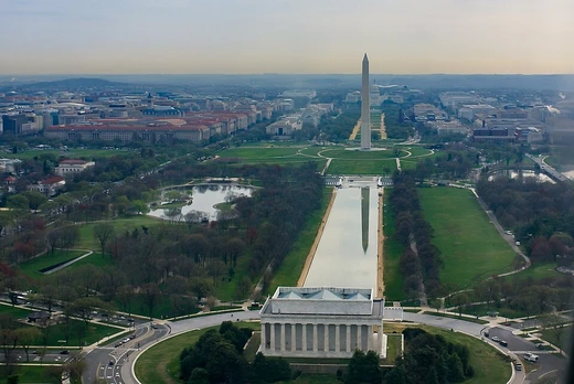
Captain John Smith Chesapeake National Historic Trail
Water trail tracing Captain John Smith's Chesapeake voyages.
Last updated
Where it is
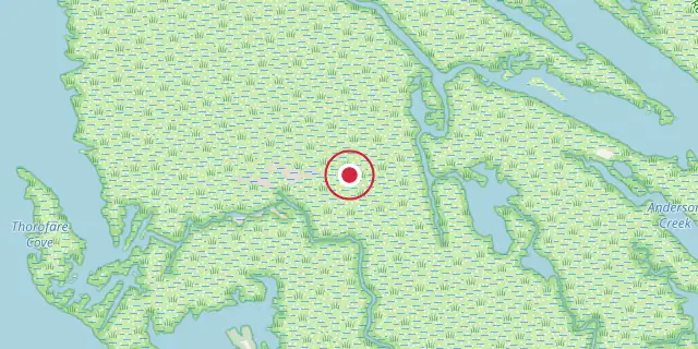
Coordinates: 38°00′00″N 76°00′00″W (38.0000, -76.0000) · Open in OpenStreetMap
Coordinates and connected clubs: the infobox of Wikipedia: Captain John Smith Chesapeake National Historic Trail (CC BY-SA 4.0). Map: drawn by Codexery from OpenStreetMap tiles.
The Captain John Smith Chesapeake National Historic Trail is a water route network spanning about 3,000 miles across the Chesapeake Bay and its tributaries in Virginia, Maryland, Delaware, and Washington, D.C. It follows the 1607–1609 voyages Smith made to map the region. It is one of only two water trails designated as a National Historic Trail, the other being the Star-Spangled Banner trail.
Creation
The Captain John Smith Chesapeake National Historic Trail became law on December 19, 2006, following a year of feasibility studies by the National Park Service and approval from Congress. The push for the trail began with bipartisan legislation introduced in the Senate in August 2005. That bill gained momentum and cleared the Subcommittee on National Parks in May 2006. This led to a companion bill in the House, sponsored by Representative Jo Ann Davis and backed by 27 co-sponsors.
The House passed it on December 6, 2006, and the Senate followed two days later. President George W. Bush signed it into law on December 19. The water trail is part of the National Trails System, managed by the National Park Service alongside the Chesapeake Bay Gateways and Watertrails Network and the federal-state Chesapeake Bay Program.
More in National Park Service Areas in Washington, D.C.
Sources
Compiled from Wikipedia and the sources listed below. Text from Wikipedia is available under CC BY-SA 4.0; this entry is adapted from it.
- Wikipedia: Captain John Smith Chesapeake National Historic Trail (CC BY-SA 4.0).
Spotted an error? Know more?
Reader corrections go straight into our review queue. Suggest an edit · How this site is sourced