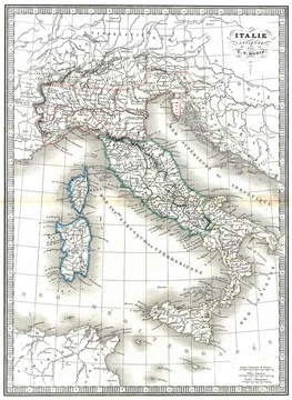
Podgora (hill)
Fortified hill west of Gorizia, captured by Italy in August 1916.
Last updated
Where it is
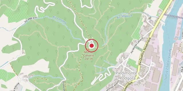
Coordinates: 45°56′46″N 13°35′31″E (45.9460, 13.5920) · Open in OpenStreetMap
Coordinates and connected clubs: the infobox of Wikipedia: Podgora (hill) (CC BY-SA 4.0). Map: drawn by Codexery from OpenStreetMap tiles.
Podgora, also called Monte Calvario or Kalvarija, is a 241-meter hill on the Karst plateau west of Gorizia. It was a key Austro-Hungarian defensive position during the early Isonzo battles, heavily fortified with trenches, barbed wire, and machine-gun posts. Italian forces attacked it repeatedly from June 1915 until its capture in August 1916.
More in Military History of Italy During World War I
Sources
Compiled from Wikipedia and the sources listed below. Text from Wikipedia is available under CC BY-SA 4.0; this entry is adapted from it.
- Wikipedia: Podgora (hill) (CC BY-SA 4.0).
Spotted an error? Know more?
Reader corrections go straight into our review queue. Suggest an edit · How this site is sourced