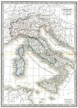
Monte Ermada
Austro-Hungarian bulwark on the Karst, never taken by Italian assaults.
Last updated

via Wikipedia: Monte Ermada · see source
Where it is
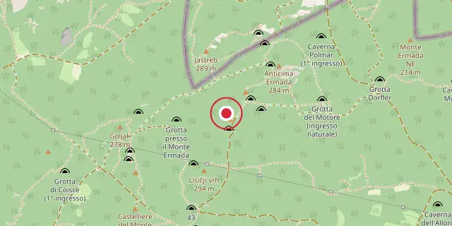
Coordinates: 45°47′42″N 13°37′34″E (45.7950, 13.6260) · Open in OpenStreetMap
Coordinates and connected clubs: the infobox of Wikipedia: Monte Ermada (CC BY-SA 4.0). Map: drawn by Codexery from OpenStreetMap tiles.
Monte Ermada, also called Hermada or Grmada, rises on the Karst Plateau close to the border between the Italian provinces of Trieste and Gorizia. Most of the hill lies within the municipality of Duino-Aurisina, while its eastern spurs extend into Slovenian territory.
The massif includes multiple peaks, with the main summit reaching 323 meters above sea level. During the First World War, from September 1916 onward, the Ermada served as a principal Austro-Hungarian bulwark guarding Trieste. The Italian Army hammered it with assaults during the later battles of the Isonzo, but the hill was never taken.
Did You Know?
- An Italian 280mm shell detonated on Monte Ermada on 20 August 1917 during the Eleventh Battle of the Isonzo.
- Streets named after the Ermada exist in many Italian cities to commemorate the World War I battles.
- Pre-historic settlements existed on the top of the Ermada, as shown by archaeological finds.
- The massif includes 13 named peaks, with the highest at 323 meters above sea level.
More in Military History of Italy During World War I
Sources
Compiled from Wikipedia and the sources listed below. Text from Wikipedia is available under CC BY-SA 4.0; this entry is adapted from it.
- Wikipedia: Monte Ermada (CC BY-SA 4.0).
Spotted an error? Know more?
Reader corrections go straight into our review queue. Suggest an edit · How this site is sourced