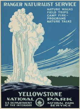
Crater Lake
The deepest lake in the United States, known for its deep blue color and water clarity.
Last updated

via Wikipedia: Crater Lake · see source
Where it is
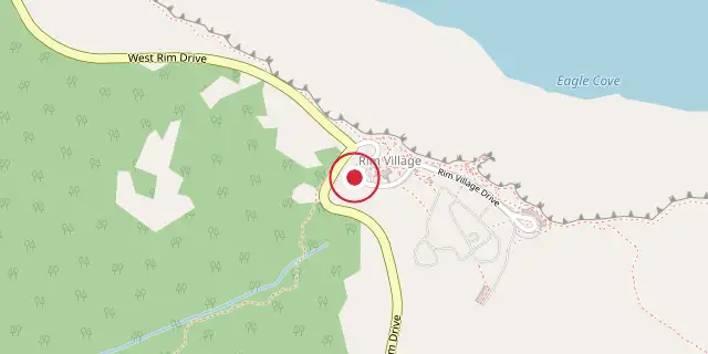
Coordinates: 42°54′40″N 122°08′53″W (42.9110, -122.1480) · Open in OpenStreetMap
Coordinates and connected clubs: the infobox of Wikipedia: Crater Lake National Park (CC BY-SA 4.0). Map: drawn by Codexery from OpenStreetMap tiles.
Crater Lake is the deepest lake in the United States, reaching 1949 ft at its deepest point.[1] The national park surrounding the lake was established in 1902 and is the only national park in Oregon.[2] Around 5700 BCE, a tremendous volcanic eruption caused the collapse of the volcano known as Mazama, which lost 2500 to 3500 ft in height, and the resulting caldera gradually filled with water over approximately 740 years to become Crater Lake.[3]
Geography and history
The 1929 edition of O Ranger! described that Crater Lake National Park was reached by train on the Southern Pacific Railroad lines into Medford and Klamath Falls.[4] The elevation of Crater Lake's caldera rim varies between 7000 and 8000 ft.[5] At 6178 ft, the lake's surface elevation is the official benchmark measurement taken by the United States Geological Survey.[5] No streams either enter or exit Crater Lake.[5]
Crater Lake National Park is classified under the Köppen system as having a dry-summer subarctic climate, designated Dsc.[6] At higher elevations, particularly around Crater Lake, snowfall is frequent; data from park headquarters, situated at 6475 ft, indicates that this location receives more snowy days than any other long-term weather station in Oregon.[7]
What the cited sources add
That expedition sounded the depth at 168 different points using a piece of pipe on piano wire, and their deepest sounding of 1996 ft was very close to the modern official depth.[8][9] That same paper explains that the eruption created a large caldera, which, influenced by the climate at the time, took about 740 years to fill with water.[3][10]
References
- Wikipedia, "Crater Lake National Park" (CC BY-SA 4.0), which cites: Bacon, Charles R.; James V. Gardner; Larry A. Mayer; Mark W. Buktenica; Peter Darnell; David W. Ramsey; Joel E. Robinson (June 2002). "Morphology, volcanism, an; Bacon, Charles R.; James V. Gardner; Larry A. Mayer; Mark W. Buktenica; Peter Darnell; David W. Ramsey; Joel E. Robinson (June 2002). "Morphology, volcanism, an (we also read that source) en.wikipedia.org
- Wikipedia, "Crater Lake National Park" (CC BY-SA 4.0), which cites: "Crater Lake", National Park Service (we also read that source) en.wikipedia.org
- Wikipedia, "Crater Lake National Park" (CC BY-SA 4.0), which cites: Manuel Nathenson, "Subaqueous geology and a filling model for Crater Lake, Oregon", Hydrobiologia, 2007, p. 13–27 (we also read that source) en.wikipedia.org
- Wikipedia, "Crater Lake National Park" (CC BY-SA 4.0), which cites: Albright, "Oh, Ranger!", The Chatham Press, Inc., September 6, 2004 (original not read by us) en.wikipedia.org
- Wikipedia, "Crater Lake National Park" (CC BY-SA 4.0) en.wikipedia.org
- Wikipedia, "Crater Lake National Park" (CC BY-SA 4.0), which cites: "USDA Interactive Plant Hardiness Map", United States Department of Agriculture (we also read that source) en.wikipedia.org
- Wikipedia, "Crater Lake National Park" (CC BY-SA 4.0), which cites: Taylor and Hannan, pp. 39–41 (original not read by us) en.wikipedia.org
- Wikipedia, "Crater Lake National Park" (CC BY-SA 4.0), which cites: Bacon, Charles R.; James V. Gardner; Larry A. Mayer; Mark W. Buktenica; Peter Darnell; David W. Ramsey; Joel E. Robinson (June 2002). "Morphology, volcanism, an (we also read that source) en.wikipedia.org
- Charles R. Bacon, "Morphology, volcanism, and mass wasting in Crater Lake, Oregon", Geological Society of America Bulletin (2002), doi:10.1130/0016-7606(2002)114<0675:mvamwi>2.0.co;2. OpenAlex metadata CC0; paper not read. doi.org
- Manuel Nathenson, "Subaqueous geology and a filling model for Crater Lake, Oregon", Hydrobiologia (2006), doi:10.1007/s10750-006-0343-5. OpenAlex metadata CC0; paper not read. doi.org
Each numbered sentence above was checked against the source it cites before publication. Sentences citing Wikipedia adapt text from the English Wikipedia article Crater Lake National Park (contributors), used under CC BY-SA 4.0; this entry is available under the same licence. Other sources were used for facts only; no text or images are copied from them.
More in US National Parks
Sources
Compiled from Wikipedia and the sources listed below. Text from Wikipedia is available under CC BY-SA 4.0; this entry is adapted from it.
- Wikipedia: Crater Lake National Park (CC BY-SA 4.0).
Spotted an error? Know more?
Reader corrections go straight into our review queue. Suggest an edit · How this site is sourced