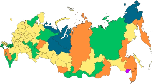
Perm Krai
A krai in Eastern Europe, formed in 2005 from the merger of Perm Oblast and Komi-Permyak Autonomous Okrug.

Perm Krai is a federal subject of Russia (a krai), located in Eastern Europe. Its administrative center is Perm. The population of the krai was 2,532,405 (2021 Census). The krai was formed on 1 December 2005 as a result of the 2004 referendum on the merger of Perm Oblast and Komi-Permyak Autonomous Okrug. Komi-Permyak Okrug retained its autonomous status within Perm Krai during the transitional period of 2006–2008. It also retained a budget separate from that of the krai, keeping all federal transfers. Starting in 2009, Komi-Permyak Okrug's budget became subject to the budgeting law of Perm Krai.
- Formed
- 1 December 2005
- Administrative center
- Perm
- Population (2021 Census)
- 2,532,405
- Area
- Europe (99.8%) and Asia (0.2%)
- Highest point
- Mount Tulymsky Kamen (1,496 m)
- Known for
- Permian Period, mineral wealth, merger of Perm Oblast and Komi-Permyak Autonomous Okrug
Lore & Background
The final period of the Paleozoic era, the Permian, is named after the Perm region. In 1841 the geological Permian Period was named after strata of rocks from that time were found in this area. The transitional period for Komi-Permyak Okrug was implemented in part because the okrug relied heavily on federal subsidies, and an abrupt cut would have been detrimental to its economy.
Reader's Guide
Perm Krai is located to the east of the East European Plain and the western slope of the Middle Ural Mountains. 99.8% of its area is in Europe, 0.2% in Asia. The maximum length from north to south is 645 km, from west to east — almost 420 km. The borders of the region are winding and have a length of more than 2.2 thousand km. The krai borders the Komi Republic in the north, Kirov Oblast in the northwest, the Udmurt Republic in the southwest, the Republic of Bashkortostan in the south, and Sverdlovsk Oblast in the east. The highest point is Mount Tulymsky Kamen at 1496 m. Rivers of Perm Krai belong to the Kama River Basin. There are more than 29,000 rivers. Only two rivers exceed 500 km: the Kama River at 1805 km and the Chusovaya River at 592 km. Perm Krai has a continental climate. Winters are long and snowy, with average January temperatures from -18°C in the northeast to -15°C in the southwest. The record low is -53°C. The krai has abundant minerals including oil, natural gas, gold, diamonds, chromites, peat, limestone and building materials. The Verkhnekamskoye deposit of potassium salts is one of the largest in the world. Forests cover about 71% of the area. There are 62 species of mammals, more than 270 species of birds, 39 species of fishes, 6 species of reptiles and 9 species of amphibians. Three nature reserves are located in Perm Krai: Basegi, Vishera, Preduralie.
Did You Know?
- The Permian Period is named after the Perm region.
- The krai was formed on 1 December 2005 from the merger of Perm Oblast and Komi-Permyak Autonomous Okrug.
- Komi-Permyak Okrug retained a separate budget and all federal transfers during 2006–2008.
- The highest point is Mount Tulymsky Kamen at 1496 m.
- Oil was first discovered in the area in 1929 near Verhnechusovskie Gorodki.
More in Russian Federal Subjects 1-20
Spotted an error? Know more?
This is a living reference — every entry is fact-audited, and reader corrections feed straight into our audit queue. Suggest an edit · See this site's audit record