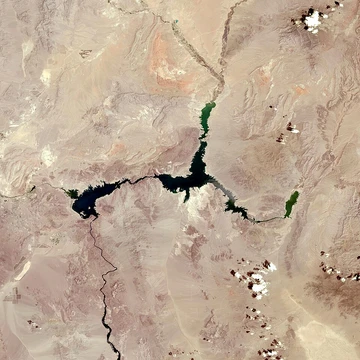
Amistad Reservoir
A binational reservoir on the Rio Grande formed by Amistad Dam.
Last updated

via Wikipedia: Amistad Reservoir · see source
Amistad Reservoir, also called Lake Amistad, sits on the Rio Grande where it meets the Devils River, 12 miles northwest of Del Rio, Texas. The lake borders Val Verde County in the United States and Coahuila in Mexico; the U.S. shoreline is part of the Amistad National Recreation Area. Created in 1969 when Amistad Dam was built, the reservoir is jointly run by the U.S. and Mexico through the International Boundary and Water Commission. Its name means “friendship” in Spanish.
History
The area now covered by the reservoir was long inhabited by Indigenous Americans, who sheltered in caves along the rivers and left numerous cave paintings. After the Mexican–American War, American pioneers such as John Coffee Hays traveled through the area in developing a reliable road from San Antonio to El Paso. A 1944 treaty between the United States and Mexico proposed the construction of a major dam and reservoir on the Rio Grande to provide flood control, water conservation, irrigation, hydroelectric power, and recreation to the area.
Amistad Dam's construction began in December 1964 and was completed in November 1969, after which the reservoir was filled, flooding a series of valleys around the confluence of the Rio Grande and the Devils River. The dam and the reservoir are managed by the International Boundary and Water Commission, which was established in 1889 by the governments of the United States and Mexico to maintain the border, allocate river waters between the two nations, and provide for flood control and water sanitation.
Fish and plant life
The reservoir is stocked with fish species intended to improve the utility of the reservoir for recreational fishing, including largemouth bass, smallmouth bass, Guadalupe bass, and catfish. Substantial aquatic vegetation grows in the lake, primarily hydrilla. The Amistad gambusia, a fish species endemic to the area, was eliminated in the wild when the filling of the reservoir in 1969 submerged Goodenough Spring, its only known habitat, under about 70 feet of water. Two captive populations did not survive, and the fish was extinct by 1987.
Recreational uses
During the construction of the dam, the land around the American shore of the coming reservoir was designated as the Amistad National Recreation Area. The lake provides year-round, water-based recreation opportunities, including boating, fishing, swimming, scuba diving, and water-skiing, as well as other recreational opportunities for picnicking, camping, and hunting.
The area is rich in archaeology and rock art, and contains a wide variety of plant and animal life. The lake is home to yearly nationally televised fishing tournaments. It is also near the flight path of USAF trainers.
More in Reservoirs and Dams in National Park Service Areas
Sources
Compiled from Wikipedia and the sources listed below. Text from Wikipedia is available under CC BY-SA 4.0; this entry is adapted from it.
- Wikipedia: Amistad Reservoir (CC BY-SA 4.0).
- Word definitions: the , each quoted from its Wikipedia article.
Spotted an error? Know more?
Reader corrections go straight into our review queue. Suggest an edit · How this site is sourced