Grand Mound (Minnesota)
Largest prehistoric structure in the upper Midwest, an effigy burial mound.
Last updated
Where it is
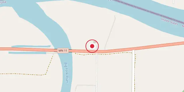
Coordinates: 48°30′47″N 93°42′25″W (48.5130, -93.7070) · Open in OpenStreetMap
Coordinates and connected clubs: the infobox of Wikipedia: Grand Mound (Minnesota) (CC BY-SA 4.0). Map: drawn by Codexery from OpenStreetMap tiles.
Grand Mound is a prehistoric burial site in Koochiching County, Minnesota, and the largest surviving prehistoric structure in the upper Midwest. The main burial mound, dating to 200 BCE, measures 140 feet in length, 100 feet in width, and about 25 feet high, with a 200-foot tail. Once thought to be a conical mound, it was reclassified in the 21st century as an effigy mound, possibly resembling a muskrat. The site also contains four smaller earthworks and stratified village deposits from the Middle Woodland and Late Woodland periods.
More in Religious Places of the Indigenous Peoples of North America
Sources
Compiled from Wikipedia and the sources listed below. Text from Wikipedia is available under CC BY-SA 4.0; this entry is adapted from it.
- Wikipedia: Grand Mound (Minnesota) (CC BY-SA 4.0).
Spotted an error? Know more?
Reader corrections go straight into our review queue. Suggest an edit · How this site is sourced