Cape Leeuwin
Most south-westerly mainland point of Australia, one of the great capes.

via Wikipedia: Cape (geography) · see source
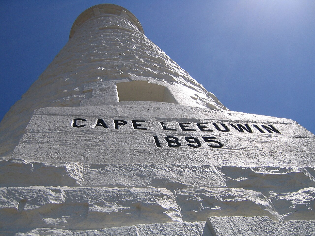
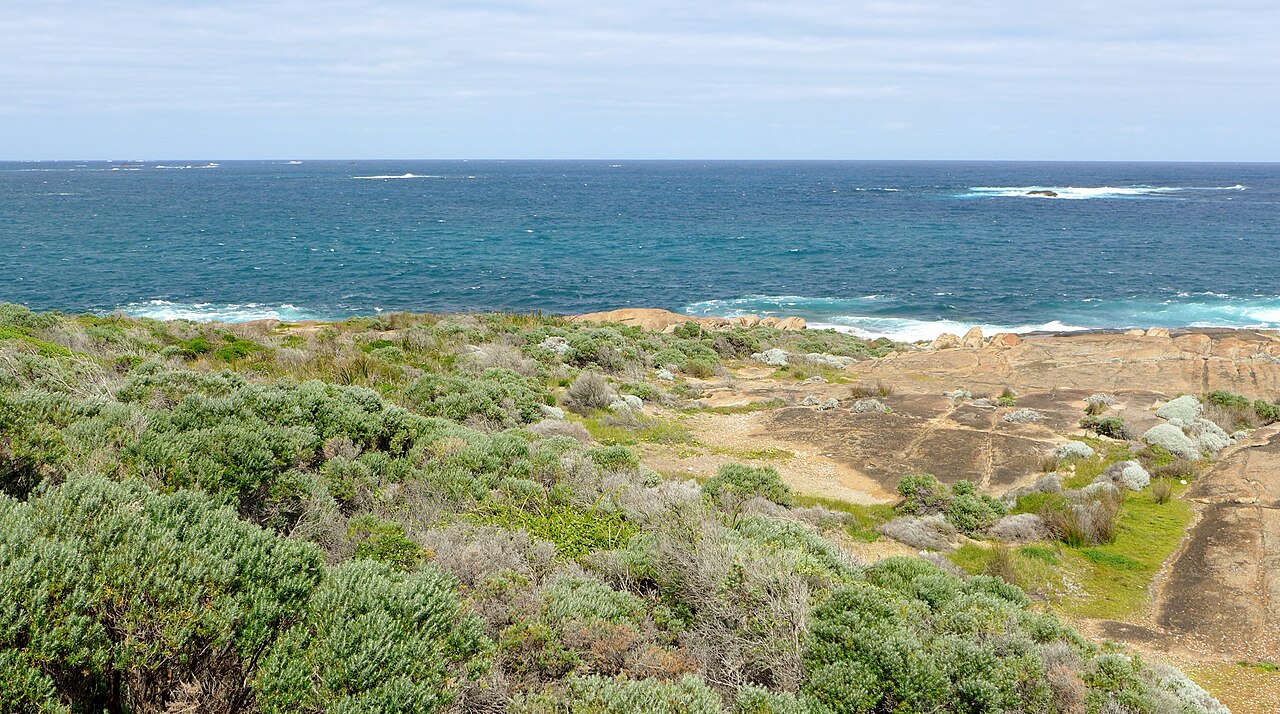
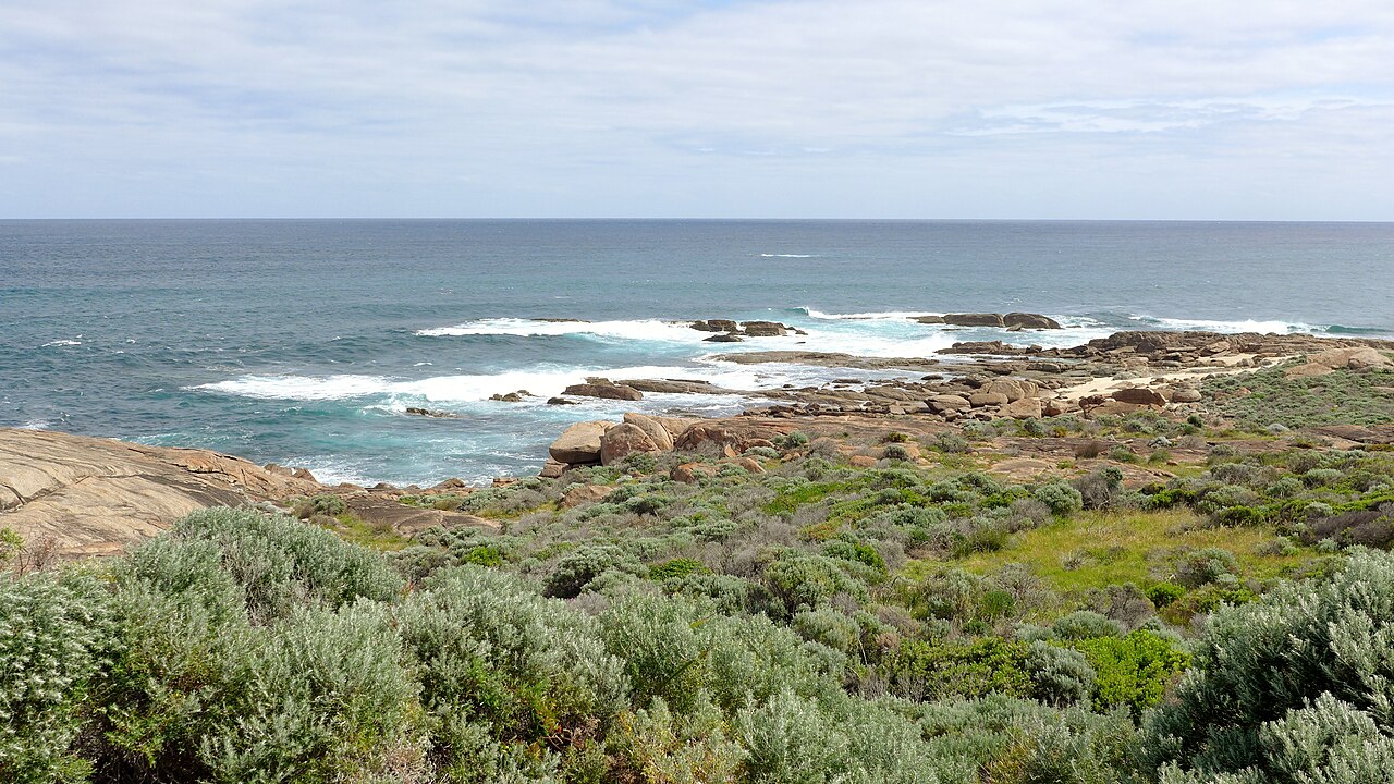
Cape Leeuwin is the most south-westerly mainland point of the Australian continent, located in Western Australia. It is considered one of the three "great capes" of the world, alongside Africa's Cape of Good Hope and South America's Cape Horn. The cape is not the southernmost point of the continent or even of Western Australia; that distinction belongs to West Cape Howe, near Albany, to the southeast. A few small islands and rocks, the St Alouarn Islands, lie further out in Flinders Bay to the east. The nearest settlement is Augusta, to the north. In Australia, Cape Leeuwin is regarded as the meeting point of the Indian Ocean and the Southern Ocean, though most other nations define the Southern Ocean as beginning south of 60°S. On the headland stands the Cape Leeuwin Lighthouse and the former lighthouse-keepers' buildings. The Wardandi Aboriginal people were the first inhabitants of the area. The English navigator Matthew Flinders named the cape after the Dutch vessel *Leeuwin*, which charted nearby coastlines in 1622; little is known of that voyage as its log has been lost. The first known European sighting of the cape was by Antoine Bruni d'Entrecasteaux in 1791, who thought it was an island. Flinders began his survey of the South coast of New Holland from here in 1801, landing in what is now Flinders Bay. The climate is warm-summer Mediterranean, with most rain falling between May and August and dry, windy summers creating a high bushfire risk. The area is part of Leeuwin-Naturaliste National Park, with extensive heath and scrub supporting many plant and bird species. Shipwrecks in the vicinity include an iron-screw steamer that sank after hitting an uncharted rock in 1910. Cape Leeuwin is also mentioned in Rudyard Kipling's poem *The Sing-Song of Old Man Kangaroo*, where its pronunciation rhymes with "flew in."
- location
- Australia
Lore & Background
Cape Leeuwin is the most south-westerly mainland point of the Australian continent, located in Western Australia. The cape features a few small islands and rocks, known as the St Alouarn Islands, which extend further into Flinders Bay to the east. The nearest settlement is Augusta, north of the cape. The cape is not the southernmost point of Western Australia; that distinction belongs to West Cape Howe, southeast near Albany. On the headland stands the Cape Leeuwin Lighthouse and the former lighthouse-keepers’ buildings. The cape is considered one of the three “great capes” of the world. In Australia, it is regarded as the meeting point of the Indian and Southern Oceans, though many other nations define the Southern Ocean as existing south of 60°S. The Wardandi Aboriginal people were the first inhabitants. The English navigator Matthew Flinders named the cape after the Dutch vessel *Leeuwin*, the first known ship to visit the area in 1622, though the ship’s log has been lost. Flinders began his survey of the South coast from here in 1801, landing in the bay to the east, now called Flinders Bay. The climate is warm-summer Mediterranean, with most rain falling between May and August; summers are warm and frequently sunny, with strong winds creating a high bushfire risk. The hillside west of the lighthouse is part of Leeuwin-Naturaliste National Park, supporting extensive heath and thick scrub with many plant and bird species. Shipwrecks in sight include an iron-screw steamer that sank after hitting an uncharted rock in 1910. The cape is mentioned in Rudyard Kipling’s poem from *The Sing-Song of Old Man Kangaroo*, where its pronunciation rhymes with “flew in.”
Reader's Guide
Cape Leeuwin is the most south-westerly point of the Australian mainland, located in Western Australia. The Wardandi Aboriginal people were the first inhabitants of the area. The cape was named by English navigator Matthew Flinders after the Dutch vessel *Leeuwin*, which charted nearby coastlines in 1622. Although the ship’s log is lost, the land it found appeared on a 1627 map. Other European vessels passed by in the following centuries, including a Dutch ship in 1627 and a French ship in 1772. The first known European sighting of the cape itself was by Antoine Bruni d’Entrecasteaux in 1791, who initially thought it was an island. Flinders began his survey of Australia’s south coast from here in 1801, landing in the bay now called Flinders Bay. The cape is considered the meeting point of the Indian and Southern Oceans in Australia, though other nations define the Southern Ocean south of 60°S. It is grouped with Cape Naturaliste to identify the region’s geography and ecology, giving its name to the Leeuwin-Naturaliste National Park. The headland hosts a lighthouse and former keepers’ buildings, along with a historic water wheel. The climate is warm-summer Mediterranean, with most rain from May to August and dry, windy summers that create bushfire risk. The national park features heath and scrub supporting many plant and bird species. Several shipwrecks lie in the vicinity, including an iron steamer that sank in 1910 after hitting an uncharted rock. The cape is mentioned in Rudyard Kipling’s poem *The Sing-Song of Old Man Kangaroo*, which teaches its pronunciation to rhyme with “flew in.”
Did You Know?
- Cape Leeuwin is one of the three 'great capes' of the world, alongside Africa's Cape of Good Hope and South America's Cape Horn.
- The three great capes defined the traditional clipper route between Europe and the Far East, Australia and New Zealand.
- Cape Leeuwin continues to be an important landmark in ocean yacht racing.
- Cape Leeuwin is located on the coast of Australia.
Geographic Character and Geological Vulnerability
Cape Leeuwin stands as a textbook example of a cape in the geographic sense: a headland or promontory thrusting out into the surrounding sea and marking a pronounced shift in the direction of the coastline. Like all capes, it occupies a position of particular vulnerability to the forces of the ocean. Tidal actions, wave energy, and persistent currents work ceaselessly against its exposed rock, gradually wearing away softer strata while leaving more resistant formations standing. This relentless coastal erosion means that capes, including Cape Leeuwin, possess a comparatively brief geological lifespan. Their origins may trace back to a variety of tectonic and climatic processes—glacial carving during ice ages, volcanic deposition of solidified lava, shifts in sea level, or the slow uplift of land driven by movements in the Earth's crust. Whatever the initial mechanism, it is erosion that ultimately sculpts the headland into the sharp, conspicuous promontory visible today, and it is the same erosion that will, over deep time, wear it back into the coastline from which it once emerged.
A Conspicuous Beacon for Sailors
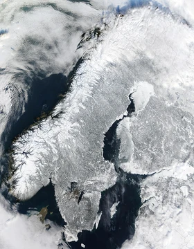
From the earliest days of seafaring, capes have served as indispensable visual reference points for navigators. Their bold silhouettes against the horizon make them far more conspicuous than the flat stretches of coast between them, allowing a captain to confirm position simply by sighting the headland. This utility is no modern invention; Greek and Roman mariners treated certain capes as sacred, raising temples to sea deities at their bases, and ancient peripli—navigational guides—catalogued the sequence of headlands a sailor would pass along a given route. Homer's epics name specific capes as waypoints and points of peril for legendary voyages around the Mediterranean. Cape Leeuwin, situated on the Australian coast, belongs to this same long tradition of coastal landmarks that have guided vessels for millennia. For a ship rounding the Australian coastline, the sight of the headland emerging from the sea would have been as critical to safe passage as any instrument in the modern navigator's kit, offering an unmistakable confirmation of where in the world the vessel truly was.
One of the Three Great Capes
In the annals of oceanic trade and exploration, Cape Leeuwin holds a place of singular distinction as one of only three capes universally recognized as the great southern gateways of the world's oceans. Together with Africa's Cape of Good Hope and South America's Cape Horn, it formed the trio of headlands that defined the traditional clipper route linking Europe to the Far East, Australia, and New Zealand. For generations of merchant and trading vessels, rounding these three capes meant navigating the most exposed and demanding stretches of open water. The clipper ships that raced between continents depended on these dramatic changes in coastline trend to mark their progress and confirm their heading. Cape Leeuwin, guarding the Australian coast, was a pivotal milestone in the maritime commerce that connected the industrialized world to the Pacific rim. Its position made it not merely a geographic feature but a defining waypoint in the global trade network that shaped the modern economic order.
From Clipper Routes to Yacht Racing
Although the age of the clipper ship has long passed, the three great capes—including Cape Leeuwin—have not faded from the maritime imagination. Their role as defining waypoints has transitioned seamlessly into the world of competitive ocean sailing. Today, these same headlands that once marked the turning points of commercial trade routes continue to serve as critical landmarks in ocean yacht racing. The dramatic shift in coastline they represent, their visibility from the open sea, and their position as gateways between major oceanic regions all make them natural focal points for race courses that challenge crews over vast distances. For modern yacht crews rounding Cape Leeuwin, the headland carries the same navigational weight it held for clipper captains centuries earlier: a confirmation of position, a marker of progress, and a reminder of the vast distances still to be covered. The continuity between the clipper era and contemporary racing underscores how deeply these geological features are embedded in the enduring culture of seafaring.
Gallery
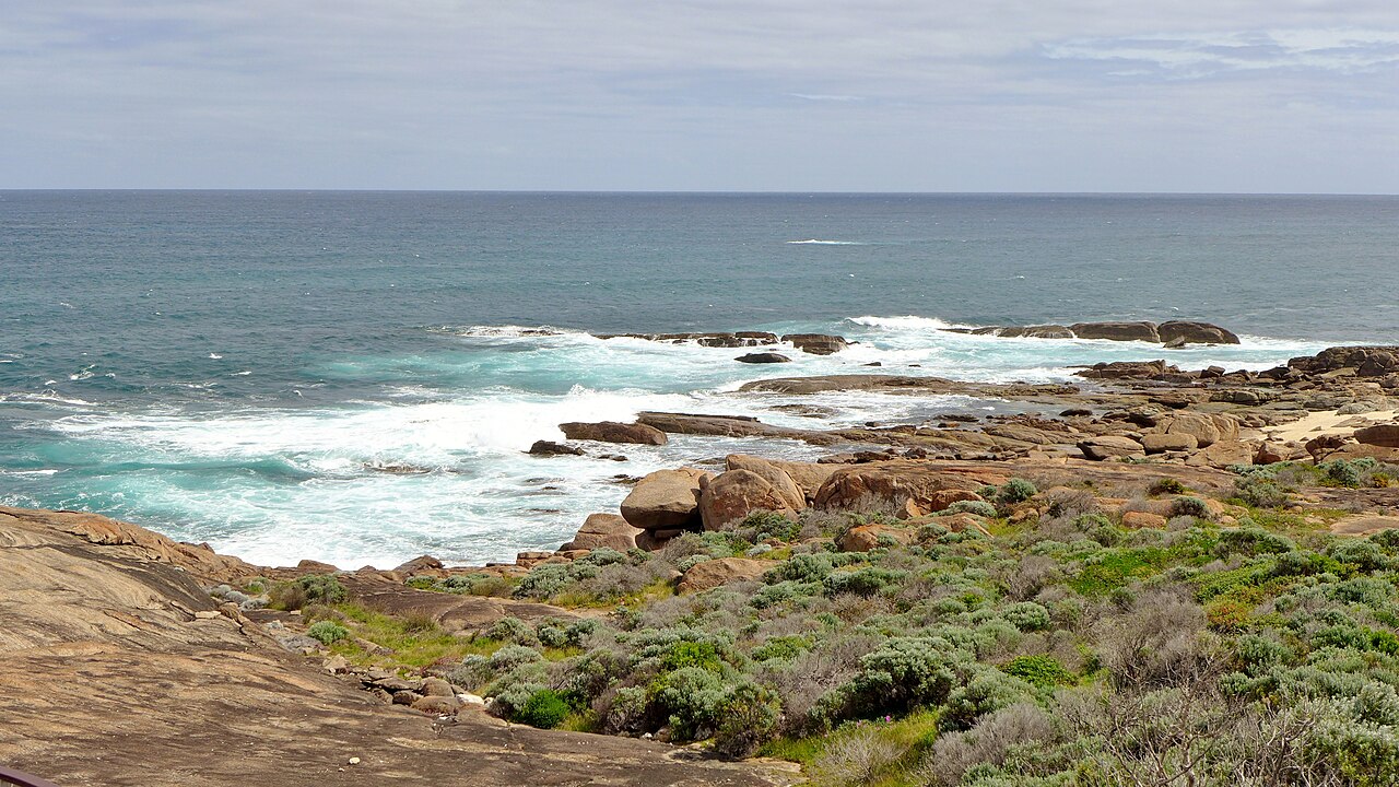
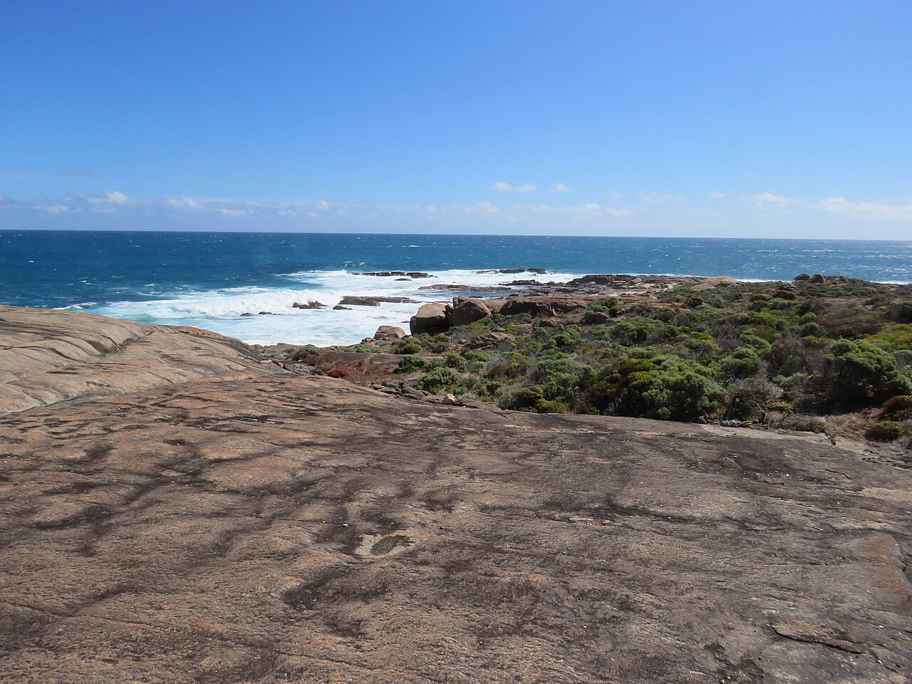
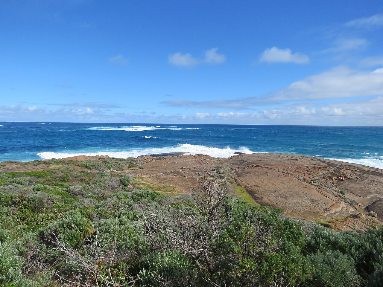
Frequently Asked Questions
What is Cape Leeuwin?
Cape Leeuwin is the most south-westerly mainland point of the Australian continent, located in Western Australia. It is recognized as one of the world's three 'great capes' and sits at the traditional meeting point of the Indian Ocean and the Southern Ocean.
Who named Cape Leeuwin and after what?
The cape derives its name from the Dutch vessel Leeuwin, which first encountered the area in 1622. The name was formally applied by Matthew Flinders in 1801 during his surveying work along the Australian coast.
What is Cape Leeuwin's indigenous name?
The local Wardandi people have long called the headland Doogalup. This name reflects the area's deep cultural significance to the community well before European contact.
Why is Cape Leeuwin considered geographically significant?
It marks the most south-westerly mainland point of Australia and the traditional convergence of the Indian and Southern Oceans. This dual distinction earns it a place among the three 'great capes' of the world, though most nations define the Southern Ocean as lying south of 60°S.
What is the climate like at Cape Leeuwin?
The area falls under a warm-summer Mediterranean climate (Köppen Csb), bringing mild, wet winters and warm, dry summers. This pattern is characteristic of south-western Australia's coastal regions.
More in Peninsulas And Cape Landforms 1-24
Related in Peninsulas And Cape Landforms
Links follow this subject's own source article.
Spotted an error? Know more?
This is a living reference — every entry is fact-audited, and reader corrections feed straight into our audit queue. Suggest an edit · See this site's audit record