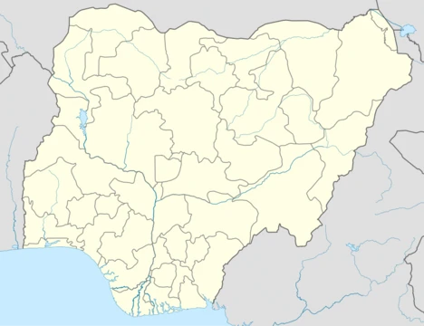
Enugu State
A southeastern Nigerian state, heart of Igboland and former Biafran capital.

via Wikipedia: Enugu State · see source
Enugu State sits in Nigeria’s South-East geopolitical zone. Its neighbors are Benue and Kogi to the north, Ebonyi to the east and southeast, Abia to the south, and Anambra to the west. The state’s name comes from its capital and biggest city, Enugu. That city first gained township status in 1917 under the name Enugwu-Ngwo, but was renamed Enugu in 1928 as it expanded into areas held by other communities. Among Nigeria’s 36 states, Enugu ranks 29th by land area and 22nd by population, with an estimated 4.4 million people as of 2016. The far south of the state lies within the Niger Delta swamp forests, while the rest is covered by a mix of Guinean forest–savanna mosaic and some savanna. Key natural features include the Udi-Nsukka Plateau and the Ekulu River, which runs through Enugu city. The state holds the tenth-highest Human Development Index in the country and is widely seen as the heart of Igboland, the cultural homeland of the Igbo people.
- Capital
- Enugu
- Area rank
- 29th largest of 36 states
- Population
- Over 4.4 million (2016 estimate)
- Major ethnic groups
- Igbo, with minorities of Idoma, Hausa, Yoruba, and Igala
- Key historical role
- Capital of the secessionist state of Biafra during the Nigerian Civil War
Verified Timeline
Lore & Background
Modern-day Enugu State has been inhabited for years by various ethnic groups, primarily the Igbo people with minorities of Idoma, Hausa, Yoruba and Igala peoples in Etteh Uno, a community in Igbo Eze North Local Government Area. In the pre-colonial period, what is now Enugu State was a part of the medieval Kingdom of Nri and the Arochukwu-based Aro Confederacy before the latter was defeated in the early 1900s by British troops in the Anglo-Aro War. After the war, the British incorporated the area into the Southern Nigeria Protectorate, which was later merged into British Nigeria in 1914; after the merger, Enugu became a symbol of anti-colonial resistance after the 1949 massacre of striking coal miners in the Iva Valley. After independence in 1960, the area of what is now Enugu was a part of the post-independence Eastern Region until May 1967 when the region was split and the area became part of the East Central State. Less than two months afterwards, the former Eastern Region attempted to secede in the three-year long Nigerian Civil War with what is now Enugu State as a part of the secessionist state of Biafra. The city of Enugu was named the Biafran capital until October 1967 when it was captured by federal forces; the rest of the state was hard-fought over but much of it fell by June 1968. At the war's end and the reunification of Nigeria, the East Central State was reformed until 1976 when Anambra State (including what is now Enugu) was formed by the Murtala Muhammed regime. Fifteen years afterwards, Anambra State was divided with the eastern part being broken off to form the new Enugu State; in 1996, part of Enugu State's east was removed to form a part of the new Ebonyi State.
Reader's Guide
Enugu State holds significance as the cultural heart of Igboland and a key site in Nigerian history. Its capital, Enugu, was a major coal mining center, with the first shipment of coal made to Britain in 1914 after its discovery in 1909 by British mining engineer Albert Kitson. Economically, Enugu State is predominantly rural and agrarian, with a substantial proportion of its working population engaged in farming, although trading (18.8%) and services (12.9%) are also important. It also has a history of coal mining in the Udi Hills around the city of Enugu. The state's political evolution—from part of the Eastern Region to East Central State, then Anambra State, and finally its own state—reflects Nigeria's complex administrative restructuring. Today, Enugu State has 17 local government areas and is governed by an elected executive governor, with Peter Mbah serving as governor as of May 2023, succeeding Ifeanyi Ugwuanyi who succeeded Sullivan Chime.
Did You Know?
- The word 'Enugu' (from Enu Ugwu) means 'the top of the hill'.
- The first European settlers arrived in 1909, led by British mining engineer Albert Kitson, who discovered coal in the Udi Ridge.
- Enugu was the capital of the secessionist state of Biafra from May 1967 until it was captured by federal forces in October 1967.
- Enugu State has the tenth highest Human Development Index in Nigeria.
- The Oji River Power Station, which used to supply electricity to all of Eastern Nigeria, is located in Enugu State.
Frequently Asked Questions
What is Enugu State?
Enugu State is a southeastern Nigerian state that functions as the cultural core of Igboland. It takes its name from its capital and largest city, Enugu.
Where is Enugu State located and how large is it?
The state sits within Nigeria's South-East geopolitical zone. By area it ranks 29th among the country's 36 states, making it relatively compact.
What role did Enugu State play in the Nigerian Civil War?
During the secessionist conflict of the 1960s, Enugu served as the capital of the breakaway Republic of Biafra. That history makes the state one of the most politically significant locations in modern Nigerian memory.
Who lives in Enugu State?
The population exceeds 4.4 million people based on the 2016 estimate. The Igbo people are the dominant ethnic group, with smaller communities of Idoma, Hausa, Yoruba, and Igala residents also calling the state home.
When was Enugu State created and how does it rank in development?
The state was carved out of part of Anambra State in 1991. It currently holds the tenth-highest Human Development Index among all Nigerian states.
More in Nigerian States 1-24
Related in Nigerian States
Links follow this subject's own source article.
Spotted an error? Know more?
This is a living reference — every entry is fact-audited, and reader corrections feed straight into our audit queue. Suggest an edit · See this site's audit record