
O'Higgins Region
One of Chile's 16 first order administrative divisions.

Corsario CL · CC BY-SA 4.0
The O'Higgins Region, officially the Libertador General Bernardo O'Higgins Region, is one of Chile's 16 first-order administrative divisions. It is named after Bernardo O'Higgins Riquelme, a founding father of Chile. The region is bordered by the Pacific Ocean to the west, Argentina to the east, the Valparaíso and Santiago Metropolitan Regions to the north, and the Maule Region to the south. The capital and largest city is Rancagua, with San Fernando as the second major town.
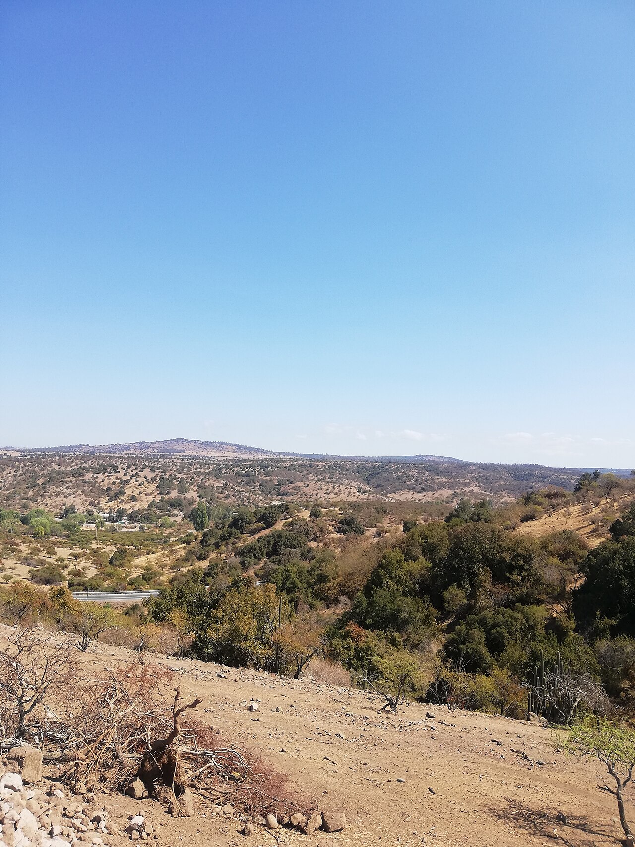
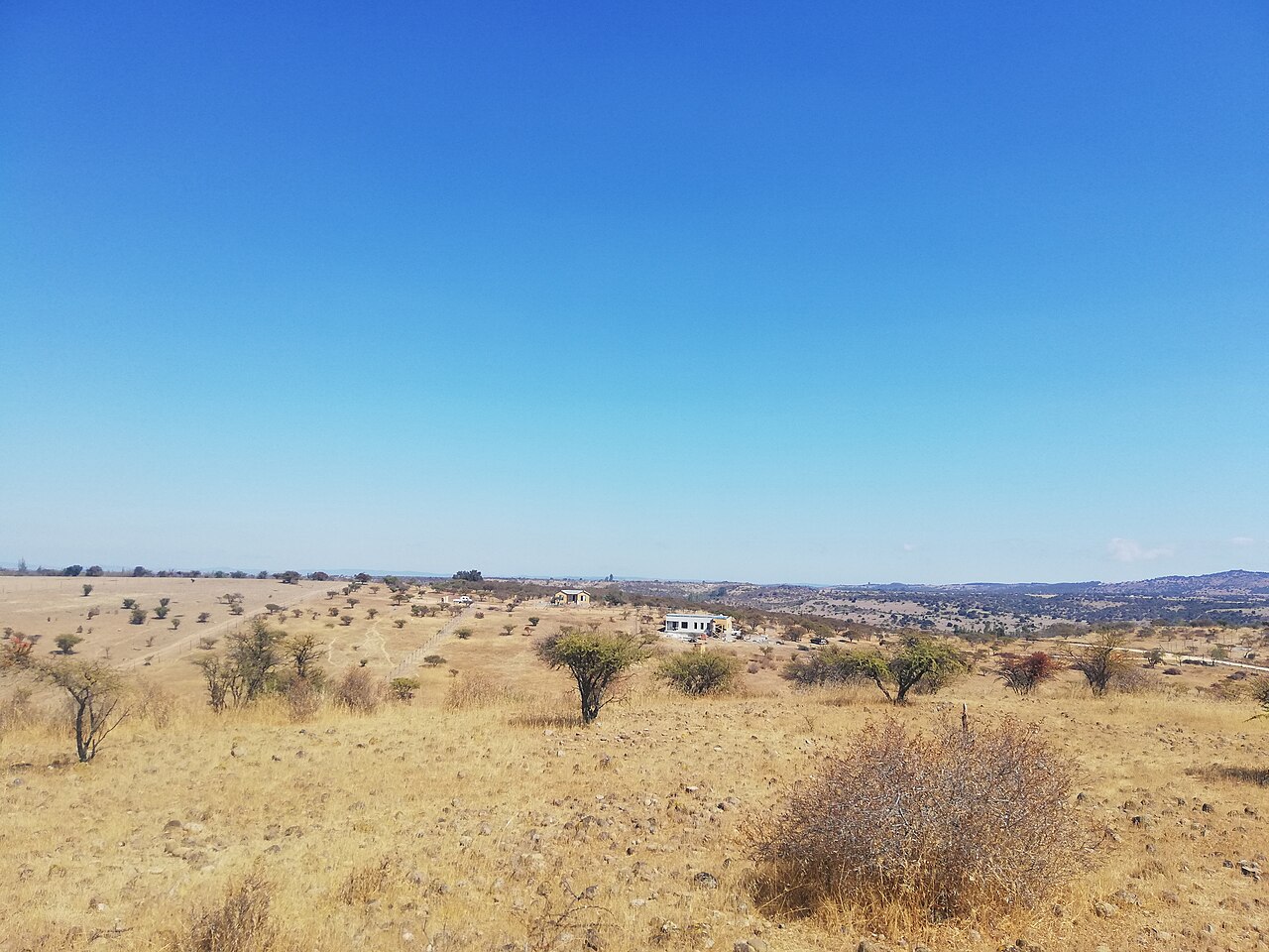
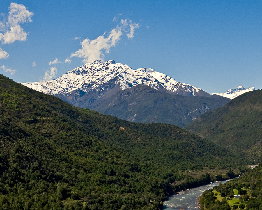
Geographically, the region lies between 33° 51' and 35° 01' south latitude, and from 70° 02' west longitude to the Pacific Ocean. In pre-Quaternary times, extensive Nothofagus forests covered much of the area. The region is part of the very restricted range of the endangered Chilean Wine Palm, which had a much larger prehistoric range. In the high Andes, the El Teniente copper mine is located, along with the Catedral copper mine prospect, which lies in an area of glaciers and rock glaciers, 25 kilometers southeast of El Teniente.
Human habitation dates back to the Archaic Period (9000 BCE to 300 BCE), when people moved between the coast, valley, and Andes, leaving shell middens at sites like Pichilemu, Cáhuil, and Bucalemu. During the Agroalfarero Period (300 BCE – 1470 CE), inhabitants began cultivating vegetables and making clay objects. From 600 CE onward, they grew beans, maize, squashes, pumpkins, and quinoa, with most crops requiring irrigation, leading settlements to move near creeks and rivers. People lived in Quincha houses with straw roofs near irrigation channels, a lifestyle attributed to the Promaucaes, Picunches, and Chiquillanes. During the Colonial Period (1541–1811), the Spanish dominated the region, and ranching became the main economic activity.
Demographically, the O'Higgins Region has a large rural population, second only to the Maule Region. According to the 2024 census, Rancagua has 257,774 inhabitants and has become an outskirt of Santiago, located 87 kilometers south of the capital. Other populous cities include San Fernando (75,585), Rengo (63,620), Machalí (60,875), San Vicente de Tagua Tagua (49,559), Santa Cruz (41,209), Chimbarongo (37,258), Graneros (35,938), Requinoa (29,508), and Las Cabras (27,554).
The economy is driven by CODELCO's El Teniente mine, which contributes 7.7% of Chile's copper production. Ore is processed at the Sewell and Colón concentrator plants, smelted and refined at Caletones, and shipped from the port of San Antonio in the Valparaíso Region. Byproducts include molybdenum and silver. Agriculture accounts for 30.1% of the region's GDP, with one out of every four hectares of fruit orchards in Chile located here. Main crops are apples and pears, followed by table grapes, plums, kiwis, and nectarines. Manufacturing is tied to copper mining, agribusiness, and food and beverages, with growth in fruit juices, pulp, and dehydrated fruit. The forestry sector has also developed, particularly eucalyptus and radiata pine plantations.
The region is co-governed by a presidential regional delegate appointed by the president (currently independent Fabio López) and a popularly elected governor, Pablo Silva Amaya, who was elected in 2021 and will serve until 2025. The regional government is headed by the governor and a regional council of twenty members, popularly elected since 2013: thirteen from Cachapoal, five from Colchagua, and two from Cardenal Caro. For interior administration, the region is divided into three provinces: Cachapoal (capital Rancagua), Colchagua (capital San Fernando), and Cardenal Caro (capital Pichilemu). These provinces are subdivided into 33 communes.
Culturally, the area is known as the "huaso province" after the Chilean cowboy. Traditional huaso items like sashes and mantas are woven in Doñihue on heavy vertical looms, with designs imitating vine leaves, bunches of grapes, pines, and copihues, while other designs feature colored stripes woven on horizontal looms. The population is a mix of European (including Argentine immigrants) and indigenous races and cultures, resulting in a homogeneous culture known as Chileanidad with a mestizo imprint. The region was settled by Spaniards (notably Andalusians, Basques, Aragonese, and Navarrese) and other Europeans. French and Italian families established agriculture, including the important wine industry, and the Wine Route is a major tourist attraction.
- Capital
- Rancagua
- Named after
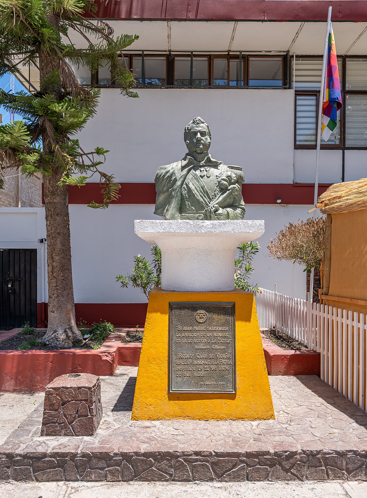
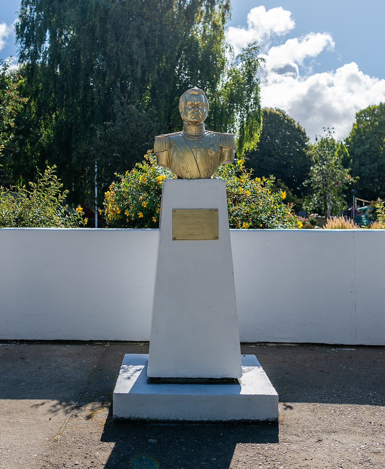
- Bernardo O'Higgins Riquelme
Lore & Background
In pre-Quaternary times, extensive Nothofagus forests covered much of the O'Higgins Region. The area is part of the very restricted range of the endangered Chilean Wine Palm, *Jubaea chilensis*, a tree endemic to Chile that had a significantly larger prehistoric range. In the high Andes lie the copper mine of El Teniente and, 25 kilometers southeast of it, the copper mine prospect of Catedral, which is situated in an area of glaciers and rock glaciers. Human habitation dates from the Archaic Period (9000 BCE to 300 BCE), when people moved between the coast, valley, and Andes, leaving shell middens at sites such as Pichilemu, Cáhuil, and Bucalemu. During the Agroalfarero Period (300 BCE – 1470 CE), inhabitants began cultivating vegetables and making clay objects; from 600 CE onward, they grew beans, maize, squashes, pumpkins, and quinoa, with most crops requiring irrigation, prompting settlement along creek and river banks. People lived in Quincha houses with straw roofs near irrigation channels, a lifestyle attributed to the Promaucaes, Picunches, and Chiquillanes. During the Colonial Period (1541–1811), the Spanish dominated the region, establishing a ranching system. The region is known as the "huaso province" after the Chilean cowboy; traditional huaso sashes and mantas are woven in Doñihue on heavy vertical looms, with designs imitating vine leaves, grapes, pines, and copihues. The population reflects a mix of European settlers—including Spaniards (notably Andalusians, Basques, Aragonese, and Navarrese), French, and Italian families—and indigenous peoples, creating a homogeneous mestizo culture known as Chileanidad.
Reader's Guide
The O'Higgins Region is significant for its economic contributions, particularly through CODELCO's El Teniente mine, which supplies 7.7% of Chile's copper production, and its agricultural sector, which accounts for 30.1% of the region's GDP and includes one out of every four hectares of fruit orchards in Chile. The region is also known as the 'huaso province,' reflecting its cowboy culture, and features traditional weaving in Doñihue. Its population is a mixture of European (including Spanish, French, Italian, German, Swiss, British, Greek, and Yugoslavian settlers) and indigenous races, creating a homogeneous culture known as Chileanidad. The region is co-governed by a presidential regional delegate and a popularly elected governor, with administration resting in a regional government and council of twenty members.
Did You Know?
- The region is named after Bernardo O'Higgins Riquelme, one of Chile's founding fathers.
- The El Teniente mine supplies 7.7% of Chile's copper production.
- The agricultural sector accounts for 30.1% of the region's GDP.
- One out of every four hectares of fruit orchards in Chile is in the O'Higgins Region.
- The region is known as the 'huaso province,' reflecting its cowboy culture.
Gallery
More in Latin American States/Provinces 1-24
Spotted an error? Know more?
This is a living reference — every entry is fact-audited, and reader corrections feed straight into our audit queue. Suggest an edit · See this site's audit record