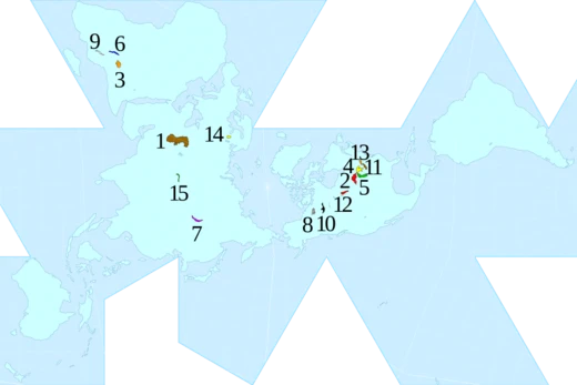
Lake Onega
Second-largest lake in Europe, known for Kizhi and petroglyphs.

Antonio Bonanno from Milan (Italy), Italy · CC BY-SA 2.0
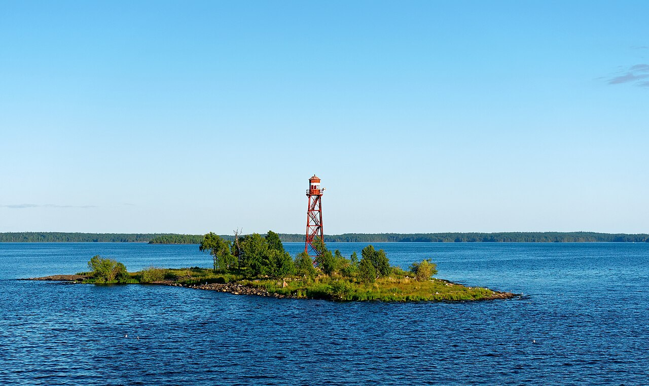
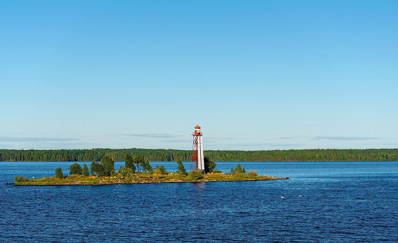
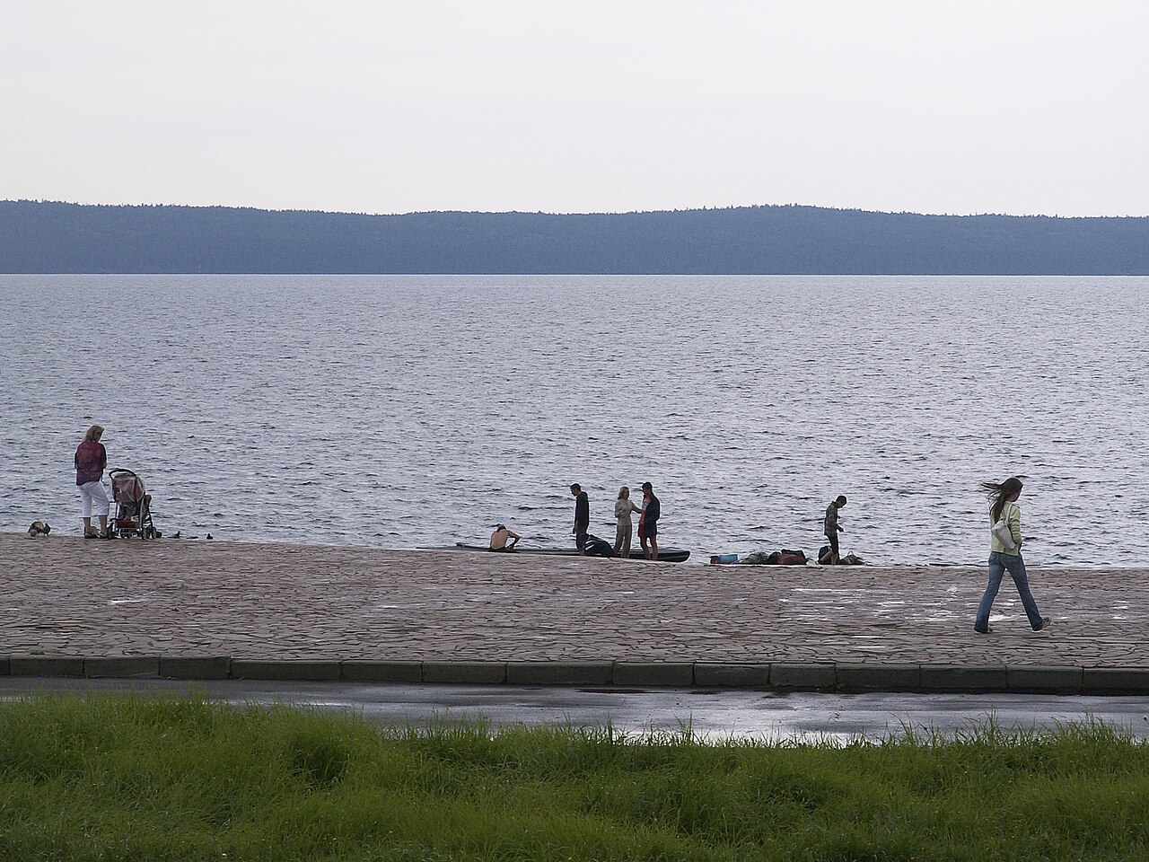
Lake Onega, also known as Onego, is a large lake in northwestern Russia, spanning the Republic of Karelia, Leningrad Oblast, and Vologda Oblast. It is part of the Baltic Sea basin and ranks as Europe’s second-largest lake, just behind Lake Ladoga and slightly smaller than the country of Lebanon. Roughly 50 rivers feed the lake, while the Svir River serves as its sole outlet. The lake contains about 1,650 islands, most notably Kizhi, which features a historic complex of 89 Orthodox churches and wooden buildings from the 15th to 20th centuries, including the UNESCO World Heritage Site Kizhi Pogost. The eastern shores hold around 1,200 petroglyphs dating from the 4th to 2nd millennia BC, also recognized as a UNESCO World Heritage Site. The main cities on its shores are Petrozavodsk, Kondopoga, and Medvezhyegorsk.
Geologically, the lake has a glacial-tectonic origin, formed about 12,000 years ago as a remnant of a much larger Ice Age water body. During the Paleozoic Era, 400–300 million years ago, the area was a shelf sea near the ancient Baltic continent, depositing a 200-meter-thick layer of sandstone, sand, clay, and limestone atop the granite, gneiss, and greenstone of the Baltic Shield. As Ice Age glaciers retreated, the Littorina Sea emerged, initially 7–9 meters higher than today, then gradually lowered, shrinking and leaving behind several lakes in the Baltic region.
Lake Onega covers 9,891 square kilometers (excluding islands) with a volume of 291 cubic kilometers. It stretches about 245 kilometers in length and 90 kilometers in width, making it the second-largest lake in Europe and the 17th-largest in the world by area. Its southern shores are low and continuous, while the northern banks are rocky and rugged, featuring many elongated bays that give the lake a shape resembling a giant crayfish. In the north lies the large Zaonezhye Peninsula, with the Big Klimenetsky island to its south. To the west is the deep Greater Onega area, over 100 meters deep, containing bays like Kondopozhskaya (up to 78 meters), Ilem-Gorskaya (42 meters), Lizhemskoy (82 meters), and Unitskoy (44 meters). Southwest of Greater Onega is Petrozavodskoye Onego, with the large Petrozavodsk Bay and smaller Yalguba and Pinguba bays. East of Zaonezhye, a bay splits into the northern Povenetsky Bay and southern Zaonezhsky Bay, where deep sections alternate with banks and islands. The southernmost part, Lesser Onega, is 40–50 meters deep, with rocky shores throughout.
The lake’s average depth is 30 meters, with a maximum of 127 meters in the north. The central area averages 50–60 meters, while the south is shallower at 20–30 meters. The bottom is uneven, covered with silt, and marked by numerous trenches in the north, separated by shallow banks—a structure favorable for fish and commercial fishing. The water level, stabilized by the Verhnesvirskaya hydropower plant, varies only 0.9–1.5 meters annually, peaking in June–August after a spring flood lasting 1.5 to 2 months, and dropping lowest in March–April. Rivers contribute 15.6 cubic kilometers of water per year (74% of the water balance), with the rest from precipitation. Most water (84%, or 17.6 cubic kilometers per year) exits via the Svir River, while 16% evaporates. Storms are frequent and sea-like, with waves often reaching 2–3 meters and occasionally 5 meters. The lake freezes near coasts and bays from late November to December, and in its center by mid-January; thawing begins in April in tributaries and reaches the lake in May. Deep waters are clear, with visibility up to 7–8 meters, but in bays it may drop to about a meter. The water is fresh, with a salinity of 35 mg/L—about 1.5 times lower than nearby Lake Ladoga. Maximum surface temperatures range from 20–24°C on the open lake to 24–27°C in bays, while deep waters stay much colder: 2–2.5°C in winter and 4–6°C in summer. Weather is cold, with temperatures below 0°C for half the year and average summer temperatures around 16°C.
The lake’s catchment area spans 51,540 square kilometers, drained by 58 rivers and over 110 tributaries, including the Shuya, Suna, Vodla, Vytegra, and Andoma. The only outflow, the Svir, runs from the southwestern shore to Lake Ladoga and continues as the Neva River to the Gulf of Finland. The White Sea–Baltic Canal passes through the lake, linking the White Sea to the Baltic, and the Volga–Baltic Waterway connects Lake Onega to the Volga River, the Caspian Sea, and the Black Sea.
- surface_area
- 9,891 km² (without islands)
- volume
- 291 km³
- maximum_depth
- 127 m
- average_depth
- 30 m
- number_of_islands
- about 1,650
- outflow_river
- Svir
- major_cities
- Petrozavodsk, Kondopoga, Medvezhyegorsk
Verified Timeline
Lore & Background
Lake Onega is of glacial-tectonic origin, formed about 12,000 years ago through the carving activity of inland ice sheets. In the Paleozoic Era, the entire territory of the modern basin was covered with a shelf sea, leaving sediments of sandstone, sand, clay and limestone forming a 200-metre-thick layer covering the Baltic Shield. The retreat of Ice Age glaciers formed the Littorina Sea, which gradually lowered, decreasing the sea area and forming several lakes in the Baltic region. The lake has a surface area of 9,891 km² without islands and a volume of 291 km³; its length is about 245 km and width about 90 km. Its southern banks are mostly low and continuous, whereas northern banks are rocky and rugged, containing numerous elongated bays resulting in the lake's outline appearing similar to a giant crayfish. The average depth is 30 m, and the deepest spot of 127 m is located in the northern part. The water level is stabilized by the Verhnesvirskaya hydropower plant and varies by only 0.9–1.5 m over the year. There are frequent storms more characteristic of a sea than a lake; waves of 2–3 metres are not uncommon and may even reach 5 m. The lake freezes near the coast and bays in late November and December and around mid-January in its center, with thawing starting in April and reaching the lake in May. The water is fresh, with a salinity of 35 mg/L, about 1½ times lower than in Lake Ladoga.
Reader's Guide
Lake Onega is the second largest lake in Europe, and the 17th largest lake by area in the world. It is fed by about 50 rivers and drained solely by the Svir, which runs from the southwestern shore to Lake Ladoga and continues as the Neva to the Gulf of Finland. The White Sea–Baltic Canal runs through the lake from the White Sea to the Baltic Sea, and the Volga–Baltic Waterway connects it with the Volga, Caspian Sea and Black Sea. The Onega Canal, built in 1818–1820 and 1845–1852 between Vytegra and Svir, was part of the Mariinsk Canal System and aimed to create a quiet pass for boats avoiding stormy waters; it is not used for active navigation at present. There are about 1,650 islands with a total area of about 250 km². The most famous is Kizhi, which contains historical wooden churches of the 18th century, while the largest island is Big Klimenetsky with an area of 147 km². The lake features a large variety of fish, with about 47 fish species from 13 families, including sturgeon, landlocked salmon, brown trout, and European eel. About 200 bird species from 15 families have been observed in the lake basin. The lake area used to be clean but pollution is gradually increasing, especially in the northwestern and northern parts containing the industrial facilities of Petrozavodsk, Kondopoga and Medvezhyegorsk. About 80% of the population and more than 90% of industry of the basin are concentrated in these areas, with pollution from these three cities amounting to about 190 million cubic metres of sewage and drainage water and 150 tonnes of emissions per year.
Did You Know?
- Lake Onega is slightly smaller than Lebanon.
- The lake's outline appears similar to a giant crayfish due to its elongated bays.
- Waves on Lake Onega may reach 5 m, more characteristic of a sea than a lake.
- The lake contains about 1,200 petroglyphs dated to the 4th–2nd millennia BC.
- The Onega Canal, built in 1818–1820, is not used for active navigation at present.
Geological Origins and the Ice Age Legacy
Lake Onega is, in geological terms, a remarkably young feature of the northern European landscape. Its basin was carved by the advance and retreat of vast inland ice sheets during the closing chapters of the last ice age, roughly twelve thousand years ago. Before that glacial sculpting, the entire area now occupied by the lake carried a far older story: during the Paleozoic Era, some three to four hundred million years ago, this territory lay beneath a shallow shelf sea adjacent to the ancient near-equatoric Baltic continent. The sediments deposited in that ancient marine environment—sandstone, sand, clay, and limestone—now form a layer roughly two hundred metres thick resting atop the Baltic Shield, a foundation of granite, gneiss, and greenstone. As the ice sheets withdrew, they left behind the Littorina Sea, whose water level initially stood seven to nine metres above today's. The slow lowering of that sea progressively shrank its area and gave birth to several large lakes across the Baltic region, Onega among them, surviving as a modest remnant of a once much larger body of water.
Shape, Depth, and the Crayfish Outline
Stretching roughly two hundred and forty-five kilometres in length and ninety in width, Lake Onega covers nearly ten thousand square kilometres and holds about two hundred and ninety-one cubic kilometres of water, making it the second-largest lake on the European continent and the seventeenth largest in the world. Its outline is far from a simple oval. The southern shoreline is low and largely unbroken, while the northern coast is rocky, jagged, and studded with numerous elongated bays that give the lake's silhouette a resemblance to a giant crayfish. The northern portion is dominated by the broad Zaonezhye Peninsula, with the Big Klimenetsky Island lying just to its south. West of these features sits the Greater Onega basin, a zone of considerable depth exceeding one hundred metres in places, containing several named bays—Kondopozhskaya reaching seventy-eight metres, Lizhemskoy at eighty-two, and others ranging from forty-two to forty-four metres. The lake's average depth is around thirty metres, but the deepest point, found in the northern sector, plunges to one hundred and twenty-seven metres. The lakebed is highly irregular, blanketed in silt and riddled with trenches of varying size, separated by broad shallow banks that serve as productive grounds for commercial fishing.
Sacred Wood and Ancient Stone
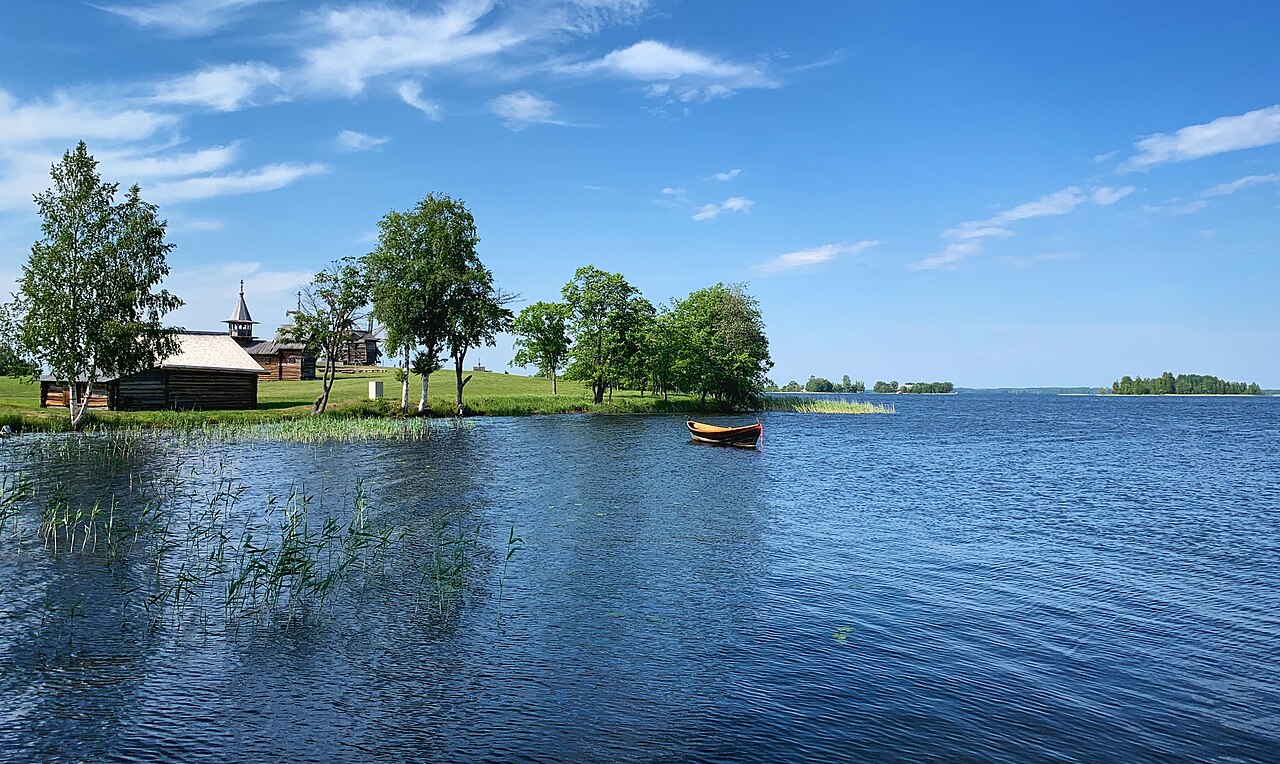
Among the roughly sixteen hundred and fifty islands scattered across the lake, none is more culturally significant than Kizhi. This small island hosts a remarkable ensemble of eighty-nine Orthodox churches and other wooden structures spanning the fifteenth through twentieth centuries, a testament to centuries of timber craftsmanship in the Karelian tradition. The Kizhi Pogost, a subset of this complex, has been inscribed as a UNESCO World Heritage Site, recognizing its outstanding universal value. Equally ancient, though in a very different medium, are the petroglyphs carved into the rocky eastern shores of the lake. Numbering approximately twelve hundred, these rock engravings date to the fourth through second millennia before the common era, making them among the oldest surviving artistic expressions in the region. They too hold UNESCO World Heritage status. The lake's shores are home to several major settlements, including Petrozavodsk, Kondopoga, and Medvezhyegorsk, which anchor the human presence along its vast perimeter. Together, the wooden sacred architecture of Kizhi and the prehistoric stone carvings of the eastern coast create a layered cultural record stretching back more than four thousand years.
Rivers, Canals, and the Waterway Web
Lake Onega sits at the heart of an intricate hydrological network. Its catchment area spans over fifty-one thousand square kilometres, draining through fifty-eight rivers and more than one hundred and ten tributaries—including the Shuya, Suna, Vodla, Vytegra, and Andoma—into the lake. The water balance is heavily river-driven: roughly fifteen and a half cubic kilometres of inflow arrive annually from these streams, accounting for up to seventy-four percent of the lake's water budget, with the remainder supplied by precipitation. Outflow is concentrated in a single channel. The Svir River, which marks the southern boundary of Karelia, carries about eighty-four percent of the lake's water—roughly seventeen and a half cubic kilometres per year—toward Lake Ladoga, and from there the Neva continues the flow to the Gulf of Finland. Human engineering has long sought to tame the lake's notoriously stormy waters, where waves of two to three metres are routine and can reach five. The Onega Canal, constructed in two phases between 1818 and 1852 along the southern shore between Vytegra and Svir, was part of the Mariinsk Canal System and provided a sheltered passage for vessels. Today it is no longer used for active navigation, though the White Sea–Baltic Canal and the broader Volga–Baltic Waterway still thread through the region, linking Onega to the White Sea, the Caspian, and the Black Sea.
Gallery
Frequently Asked Questions
Who is Lake Onega?
Lake Onega is a vast freshwater body in northwestern Russia, stretching across Karelia, Leningrad Oblast, and Vologda Oblast. It sits just behind Lake Ladoga as Europe's second-largest lake by surface area.
What are Lake Onega's powers/role?
Onega covers roughly 9,891 km² of open water and holds about 291 cubic kilometers of it, with a maximum depth of 127 meters. Its roughly 1,650 scattered islands give the lake a distinctive archipelago character that few other European water bodies can match.
How does Lake Onega's story end?
All of Onega's outflow is channeled through the Svir River, which ultimately delivers the water into the Baltic Sea basin. This makes the lake a crucial upstream link in the region's hydrological chain.
Why is Lake Onega important?
Beyond its sheer scale, the lake is home to the Kizhi monastery and ancient petroglyphs, both recognized as UNESCO World Heritage sites. Its combination of volume, depth, and cultural heritage makes it one of the most significant freshwater landmarks on the continent.
How deep is Lake Onega on average?
The lake averages about 30 meters in depth, though it plunges to 127 meters at its deepest point. That moderate average depth spread over nearly 10,000 km² of surface gives Onega its substantial 291 km³ water volume.
More in Lakes Of The World 1-18
Spotted an error? Know more?
This is a living reference — every entry is fact-audited, and reader corrections feed straight into our audit queue. Suggest an edit · See this site's audit record