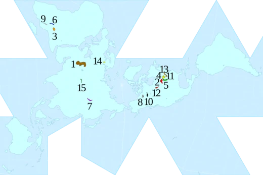
Lake Malawi
An ancient African Great Lake with exceptional fish diversity.

Salix Oculus · CC BY-SA 4.0
Lake Malawi—called Lake Nyasa in Tanzania and Lago Niassa in Mozambique (Swahili: Ziwa Nyasa)—is one of the African Great Lakes and sits at the southern end of the East African Rift system, bordered by Malawi, Mozambique, and Tanzania. By volume, it ranks as the fourth largest freshwater lake on Earth; by surface area, it is the ninth largest globally. Within Africa, it is the third largest and second deepest lake. No other lake in the world hosts more fish species: at least 700 types of cichlids live here. Mozambique declared its portion of the lake a reserve on June 10, 2011, while Malawi includes part of the lake in Lake Malawi National Park. The lake is meromictic, meaning its water layers never mix.
**Geography** The lake stretches between 560 and 580 kilometers (350–360 miles) in length and reaches about 75 kilometers (47 miles) at its widest point. Its total surface area is roughly 29,600 square kilometers (11,400 square miles). The deepest point, 706 meters (2,316 feet), lies in a major depression in the north-central area; a smaller depression in the far north reaches 528 meters (1,732 feet). The southern half is shallower—less than 400 meters (1,300 feet) in the south-central part and under 200 meters (660 feet) in the far south. Shorelines run along western Mozambique, eastern Malawi, and southern Tanzania. The Ruhuhu River is the largest inflow, while the Shire River—a tributary of the Zambezi in Mozambique—is the only outlet. Evaporation accounts for over 80% of water loss, far more than the Shire’s outflow. That outflow is vital for hydropower, irrigation, and downstream biodiversity. Concerns about climate change have grown due to recent drops in lake levels and a drying trend; temperatures in the region are already rising. Lake Malawi lies about 350 kilometers (220 miles) southeast of Lake Tanganyika, another great rift lake. Lake Malawi National Park is located at the lake’s southern end.
**Geological History** Malawi is a major Rift Valley lake and an ancient one. It formed in a valley created by the East African Rift, where the African tectonic plate is splitting apart—a divergent plate boundary. The lake was long thought to be 1–2 million years old, but newer evidence suggests the basin began forming about 8.6 million years ago, with deep-water conditions appearing around 4.5 million years ago. Water levels have swung dramatically, from nearly 600 meters (2,000 feet) below today’s level to 10–20 meters (33–66 feet) above. At times, the lake nearly dried out, leaving only one or two small, highly alkaline and saline lakes in what are now the deepest parts. Water chemistry similar to today’s only emerged about 60,000 years ago. Major low-water periods likely occurred around 1.6 to 1.0–0.57 million years ago (possibly complete drying), 420,000 to 250,000–110,000 years ago, about 25,000 years ago, and 18,000–10,700 years ago. Between 1390 and 1860 AD, during a peak low period, the lake may have been 120–150 meters (390–490 feet) below current levels.
**Water Characteristics** The lake’s water is alkaline (pH 7.7–8.6) and warm, with surface temperatures typically between 24 and 29°C (75–84°F); deep sections average about 22°C (72°F). The thermocline lies at 40–100 meters (130–330 feet). Oxygen is present only down to about 250 meters (820 feet), limiting fish and other aerobic life to the upper layer. The water is very clear—visibility can reach 20 meters (66 feet), though it is often less than half that, and drops below 3 meters (10 feet) in muddy bays. During the rainy season (January to March), muddy river inflows reduce clarity further.
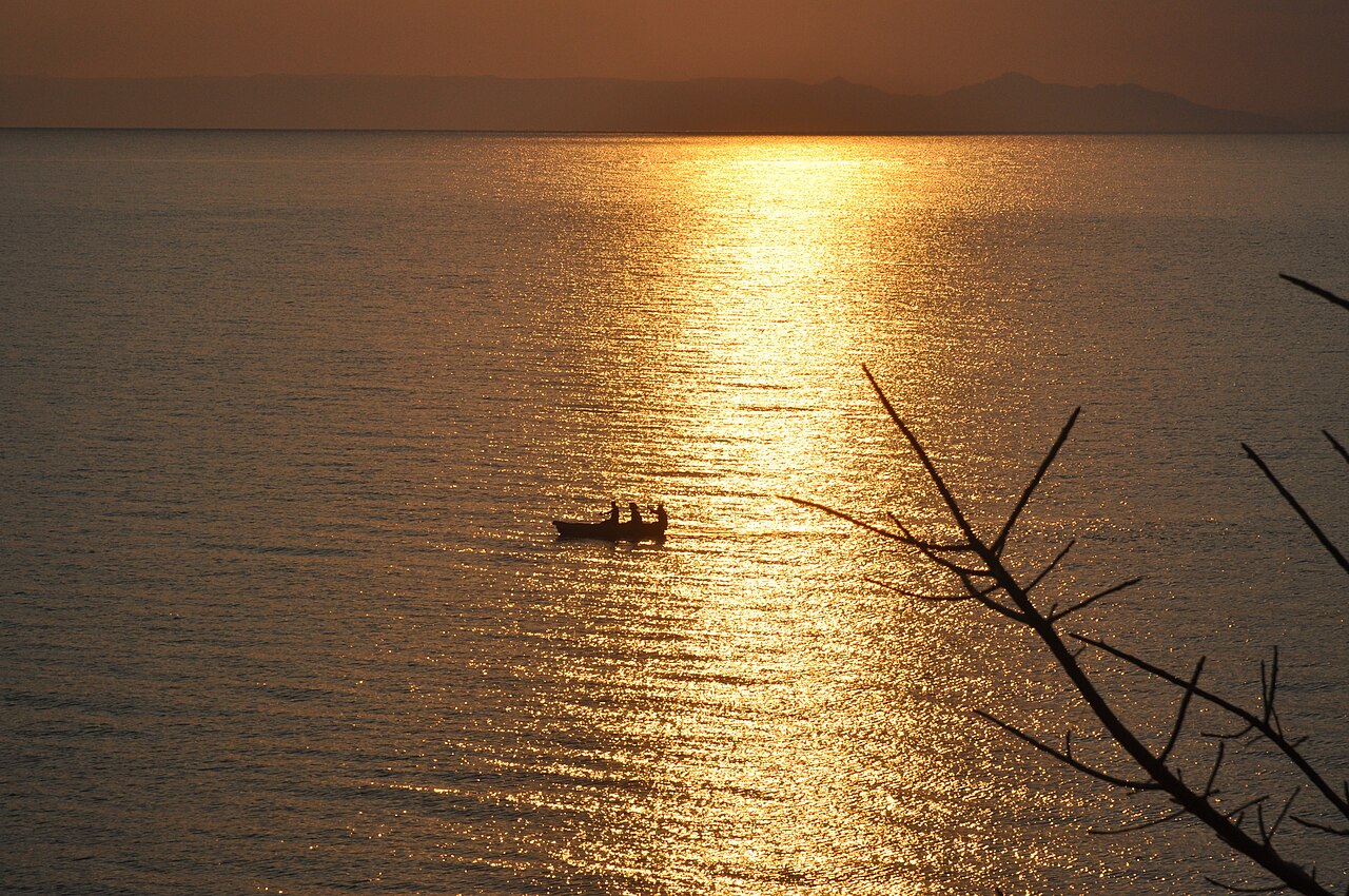
**European Colonisation** Portuguese trader Candido José da Costa Cardoso was the first European to see the lake, in 1846. David Livingstone arrived in 1859 and named it Lake Nyasa. He also gave it two nicknames: Lake of Stars, after seeing fishermen’s lanterns on boats that looked like stars from afar, and Lake of Storms, after experiencing the area’s unpredictable, violent gales. On August 16, 1914, during World War I, the lake hosted a brief naval battle. The British gunboat *SS Gwendolen*, commanded by Captain Rhoades, was ordered to “sink, burn, or destroy” the German gunboat *Hermann von Wissmann*, commanded by Captain Berndt. Rhoades’s crew found the German vessel in a bay near Sphinxhaven, in German East African waters. A single cannon shot from about 1,800 meters (2,000 yards) disabled the *Hermann von Wissmann*. *The Times* in England hailed this as the British Empire’s first naval victory of World War I.
**Borders** A dispute exists between Tanzania and Malawi over the lake’s surface area partition. Tanzania claims the international border runs through the middle of the lake.
- water_type
- freshwater, meromictic
Verified Timeline
Quick Facts
- Lake Type
- Ancient lake, Rift lake
- Inflow
- Ruhuhu River
- Outflow
- Shire River
- Countries
- Malawi, Mozambique, and Tanzania
- Length
- 560 km to 580
- Area
- 29,600 km2
- Depth
- 292 m
- Max Depth
- 706 m
- Volume
- 8640 km3
- Elevation
- 468 m above sea level
- Islands
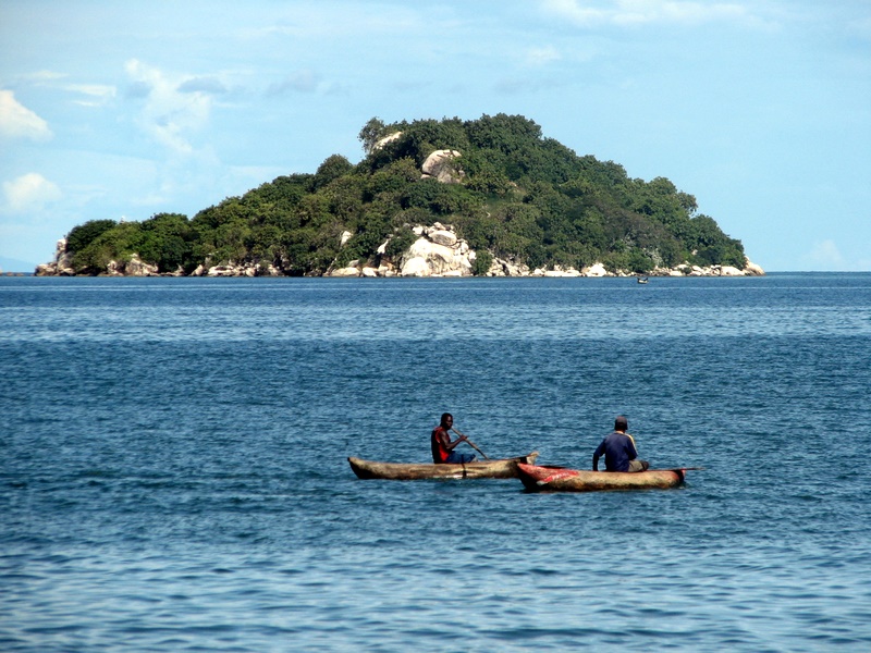
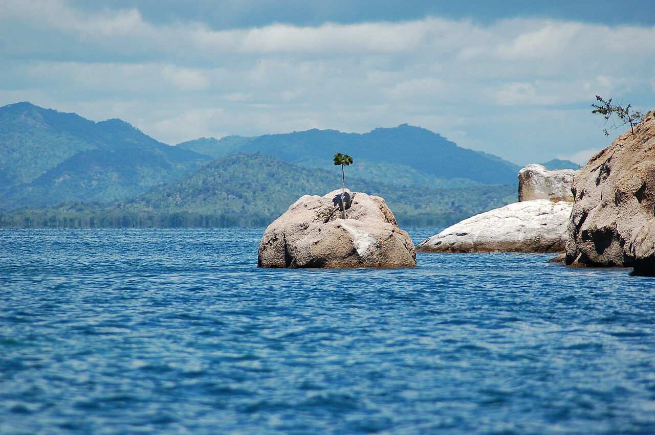
- Likoma and Chizumulu islets, Mumbo Island
- Embedded
- embed = yes · designation1 = Ramsar · designation1_offname = Lake Niassa and its Coastal Zone · designation1_date = 26 April 2011 · designation1_number = 1964
Facts from the source article.
Lore & Background
Lake Malawi lies in a valley formed by the opening of the East African Rift, where the African tectonic plate is being split into two pieces—a divergent plate tectonics boundary. The basin started to form about 8.6 million years ago, with deep-water conditions first appearing 4.5 million years ago. Water levels have varied dramatically over time, ranging from almost 600 m below current level to 10–20 m above. During periods the lake dried out almost completely, leaving only one or two relatively small, highly alkaline and saline lakes in what currently are Malawi's deepest parts. A water chemistry resembling the current conditions only appeared about 60,000 years ago. The Portuguese trader Candido José da Costa Cardoso was the first European to visit the lake in 1846. David Livingstone reached the lake in 1859, and named it Lake Nyasa. He also referred to it by a pair of nicknames: Lake of Stars and Lake of Storms. The Lake of Stars nickname came after Livingstone observed lights from the lanterns of the fishermen in Malawi on their boats, that resemble, from a distance, stars in the sky. Later, after experiencing the unpredictable and extremely violent gales that sweep through the area, he also referred to it as the Lake of Storms. On 16 August 1914, Lake Malawi was the scene of a brief naval battle during World War I. The British gunboat SS Gwendolen, commanded by a Captain Rhoades, received orders from the British Empire's high command to 'sink, burn, or destroy' the German Empire's only gunboat on the lake, the Hermann von Wissmann, commanded by Captain Berndt. Rhoades's crew found the Hermann von Wissmann in a bay near Sphinxhaven, in German East African territorial waters. Gwendolen disabled the German boat with a single cannon shot from a range of about 1,800 metres. This brief conflict was hailed by The Times in England as the British Empire's first naval victory of World War I. The lake's surface area is partitioned between Malawi, Mozambique, and Tanzania, with a dispute between Tanzania and Malawi over the border. Tanzania claims that the international border runs through the middle of the lake. On the other hand, Malawi claims the whole of the surface of this lake that is not in Mozambique, including the waters that are next to the shoreline of Tanzania. Malawi currently administers these waters. The dispute came to a head in 1967 when Tanzania officially protested to Malawi; however nothing was settled. Occasional flare-ups of conflict occurred during the 1990s and in the 21st century. In 2012, Malawi's oil exploration initiative brought the issue to the fore, with Tanzania demanding that exploration cease until the dispute was settled.
Reader's Guide
Lake Malawi is significant as one of the world's great ancient lakes, with a geological history spanning millions of years. Its extreme fish diversity—at least 700 species of cichlids—makes it a critical site for evolutionary biology and conservation. The lake's meromictic nature, with permanently stratified water layers that do not mix, creates unique ecological conditions. The permanent stratification of Lake Malawi's water and the oxic-anoxic boundary are maintained by moderately small chemical and thermal gradients. The oxygen limit is at a depth of approximately 250 m, effectively restricting fish and other aerobic organisms to the upper part. The lake provides a major food source for local populations through fishing, with species such as the four species of chambo (Oreochromis karongae, O. lidole, O. saka and O. squamipinnis), the Lake Malawi sardine (Engraulicypris sardella), and the large kampango catfish (Bagrus meridionalis) being among the most popular. Its outflow, the Shire River, supports hydropower, irrigation, and downstream biodiversity, making the lake vital to the regional economy. Evaporation accounts for more than 80% of the water loss from the lake, considerably more than the outflowing Shire River. Concerns have been raised over the future climate change impacts of Lake Malawi due to the recent decline in lake levels and the overall drying trend. Historically, the lake was a site of early European exploration and a minor naval engagement in World War I. Border disputes between Malawi and Tanzania remain unresolved, with occasional flare-ups, most recently in 2012 over oil exploration. The lake's cultural and ecological importance continues to draw attention from researchers and conservationists worldwide. The worst Lake disaster was the sinking of the MV Vipya in 1946, which resulted in 145 deaths.
Did You Know?
- Lake Malawi is a meromictic lake, meaning its water layers do not mix.
- The lake is home to at least 700 species of cichlids, more species of fish than any other lake in the world.
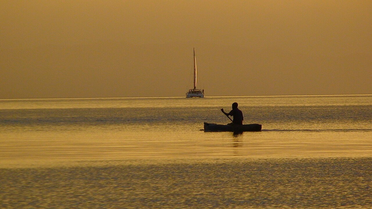
- David Livingstone nicknamed it the Lake of Stars after observing lights from fishermen's lanterns that resembled stars from a distance.
- On 16 August 1914, the British gunboat SS Gwendolen disabled the German gunboat Hermann von Wissmann with a single cannon shot, hailed as the British Empire's first naval victory of World War I.
- The worst Lake disaster was the sinking of the MV Vipya in 1946, which resulted in 145 deaths.
Geography & Physical Dimensions
Lake Malawi stretches between 560 and 580 kilometres from its northern reaches to its southern tip, with a maximum width of roughly 75 kilometres. Its total surface area spans approximately 29,600 square kilometres, making it the ninth largest lake on Earth by area and the fourth largest freshwater body by volume. In Africa, it ranks as the third largest and second deepest lake. The deepest point, at 706 metres, sits within a major depression in the north-central basin, while a secondary depression in the far north plunges to 528 metres. The southern half is considerably shallower, dropping below 400 metres in the south-central zone and under 200 metres at the far southern end. The lake's shorelines border western Mozambique, eastern Malawi, and southern Tanzania. The Ruhuhu River is the largest single inflow, while the Shire River serves as the sole outlet, eventually feeding the Zambezi. Notably, evaporation removes more than 80 percent of the lake's water, far exceeding the volume lost through the Shire. The lake sits roughly 350 kilometres southeast of its sister Great Lake, Tanganyika.
Ancient Origins & Geological Drama
Lake Malawi occupies a valley carved by the East African Rift, where the African tectonic plate is slowly splitting along a divergent boundary. While traditional estimates placed the lake's age at one to two million years, more recent geological evidence pushes the basin's formation back to roughly 8.6 million years ago, with deep-water conditions first appearing around 4.5 million years ago. Over its long existence, the lake's water level has swung wildly, at times dropping nearly 600 metres below today's mark or rising 10 to 20 metres above it. During the most severe low-water episodes, the basin nearly dried out entirely, leaving behind only one or two small, highly alkaline and saline pools in what are now the deepest trenches. The water chemistry we recognise today only stabilised approximately 60,000 years ago. Major droughts struck around 1.6 to 0.57 million years ago, again between 420,000 and 110,000 years ago, near 25,000 years ago, and between 18,000 and 10,700 years ago. Even in the historical period, a peak low-water stretch between 1390 and 1860 AD may have lowered the surface by 120 to 150 metres.
Biodiversity & the Meromictic Water Column
No other lake on the planet harbours as many fish species as Lake Malawi, which is home to at least 700 distinct cichlid species. This extraordinary diversity is shaped in part by the lake's unique meromictic structure: its water layers remain permanently stratified and do not mix, a condition sustained by modest chemical and thermal gradients. The surface water is warm, typically between 24 and 29 degrees Celsius, and alkaline with a pH ranging from 7.7 to 8.6. A thermocline sits at depths of 40 to 100 metres, below which temperatures hover around 22 degrees. The oxygen boundary falls at roughly 250 metres, effectively confining fish and other aerobic life to the upper portion of the water column. Visibility can reach 20 metres in clear conditions, though readings below 3 metres are common in muddy bays, and the January-to-March rainy season further muddies the water through river inflows. Conservation efforts include the Mozambican government's 2011 declaration of a lake reserve and Malawi's Lake Malawi National Park at the southern end.
European Encounters & a Century of Rivalry
The first European to set eyes on the lake was Portuguese trader Candido José da Costa Cardoso in 1846. Fourteen years later, David Livingstone arrived and gave it the name Lake Nyasa, while also bestowing two evocative nicknames. He called it the Lake of Stars after seeing the distant lanterns of Malawian fishermen twinkling across the water like a night sky, and the Lake of Storms after enduring the violent, unpredictable gales that sweep through the region. The lake also witnessed a brief but historic naval engagement on 16 August 1914. The British gunboat SS Gwendolen, under Captain Rhoades, was ordered to sink or destroy the German vessel Hermann von Wissmann. Finding the German boat in a bay near Sphinxhaven, Rhoades's crew disabled it with a single cannon shot from roughly 1,800 metres. The Times in London celebrated it as the British Empire's first naval victory of the First World War. Today, a border dispute between Tanzania and Malawi over the lake's surface waters remains unresolved, with both nations citing the 1890 Heligoland Treaty.
Gallery
Frequently Asked Questions
Who is Lake Malawi?
Lake Malawi is an African Great Lake sitting at the southern tip of the East African Rift, bordered by Malawi, Mozambique, and Tanzania. In its neighboring countries it goes by Lake Nyasa (Tanzania) and Lago Niassa (Mozambique).
What are Lake Malawi's powers/role?
The lake's signature strength is its extraordinary fish biodiversity, sheltering at least 700 cichlid species—more than any other lake on the planet. As a holomictic freshwater body, it undergoes full seasonal mixing of its water columns, which helps sustain that rich ecosystem.
How does Lake Malawi's story end?
As a geological feature, Lake Malawi has no narrative ending; it is an ancient rift lake whose long-term trajectory is tied to ongoing tectonic activity along the East African Rift. For now it persists as a living, still-evolving water body rather than a story with a final chapter.
Why is Lake Malawi important?
It ranks as the fourth-largest freshwater lake in the world by volume and the third-largest and third-deepest in Africa. Its unmatched cichlid diversity also makes it a cornerstone site for evolutionary-biology research.
Where is Lake Malawi and what are its key stats?
The lake stretches along the borders of Malawi, Mozambique, and Tanzania, making it the southernmost member of the East African Rift lake chain. By surface area it is the 11th-largest lake globally, and its freshwater is classified as holomictic.
More in Lakes Of The World 1-18
Spotted an error? Know more?
This is a living reference — every entry is fact-audited, and reader corrections feed straight into our audit queue. Suggest an edit · See this site's audit record