Deadwood Draw
Staging area for Black Hills gold rush freight wagons.
Last updated
Where it is
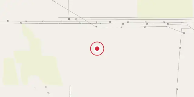
Coordinates: 41°09′36″N 103°00′29″W (41.1600, -103.0080) · Open in OpenStreetMap
Coordinates and connected clubs: the infobox of Wikipedia: Deadwood Draw (CC BY-SA 4.0). Map: drawn by Codexery from OpenStreetMap tiles.
Deadwood Draw is a staging area along the Sidney-Black Hills Trail near Sidney, Nebraska, used from 1874 to 1881 to supply gold mining operations in the Black Hills. It contains preserved ruts from freight wagons and draft animals and is listed on the National Register of Historic Places.
Background
The Fort Laramie Treaty of 1868 had promised the Lakota people that the Black Hills would be exempt from white settlement. In 1874, an expedition led by George Armstrong Custer discovered gold deposits there, and by 1876 the Black Hills Gold Rush was underway. The U.S. government attempted to purchase or lease the Black Hills from the Lakota but would not meet the price asked; when talks broke down, the government ignored the 1868 treaty and allowed gold seekers into the area.
The rush created high demand for supplies. Sidney, Nebraska, a small town on the Union Pacific railroad in 1876, had two advantages as a staging point: an existing trail north to the Red Cloud Agency protected by the military between Fort Sidney and Fort Robinson, and a shorter route than other railroad towns. The Clarke Bridge toll bridge over the North Platte River, built by Henry T. Clarke, Sr., made travel easier for freight wagons. With the bridge open, the Sidney-Black Hills Trail carried larger quantities of freight.
During summer 1876, the Pony Express and several stagecoach lines began operating along the trail. An estimated 10,000 gold seekers were in the Black Hills, and 50 to 75 freight wagons left Sidney daily, each carrying 8,000 lb of supplies. The gold rush ended in 1879, but company gold mining continued, increasing freight demand. From 1878 to 1879, about 20,000,000 lb of supplies were transported to and from Sidney.
By 1880, the Chicago and Northwestern Railroad reached Pierre, making freight transport quicker and cheaper by rail. The trail was completely closed by the end of 1882.
Description
Deadwood Draw is a wide, flat area that gently slopes up from Lodgepole Creek Valley and away from the Union Pacific railroad onto the Sidney-Black Hills trail. A gully channel meanders through the draw, ranging from 3 ft to 10 ft deep. As of 1992, three sets of wagon-wheel ruts and ruts from oxen and horses were present, with rut pairs 4.1 m to 5 m wide.
More in Trails and Roads in the American Old West
Sources
Compiled from Wikipedia and the sources listed below. Text from Wikipedia is available under CC BY-SA 4.0; this entry is adapted from it.
- Wikipedia: Deadwood Draw (CC BY-SA 4.0).
Spotted an error? Know more?
Reader corrections go straight into our review queue. Suggest an edit · How this site is sourced