Anguilla
A British Overseas Territory in the northeastern Caribbean.

Lamiot · CC BY-SA 3.0
Anguilla is a British Overseas Territory located in the Caribbean region of the North Atlantic Ocean. It sits among the most northerly of the Leeward Islands in the Lesser Antilles, positioned east of Puerto Rico and the Virgin Islands, and directly north of Saint Martin. The territory comprises the main island of Anguilla—roughly 16 miles (26 km) long and 3 miles (5 km) at its widest—plus several smaller islands and cays that have no permanent residents. Its capital is The Valley. The total land area covers 35 square miles (91 km²), and the population was about 15,753 in 2021.
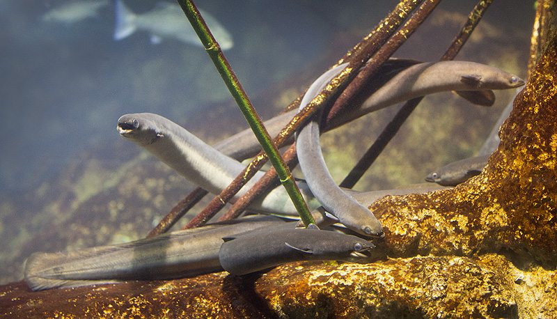
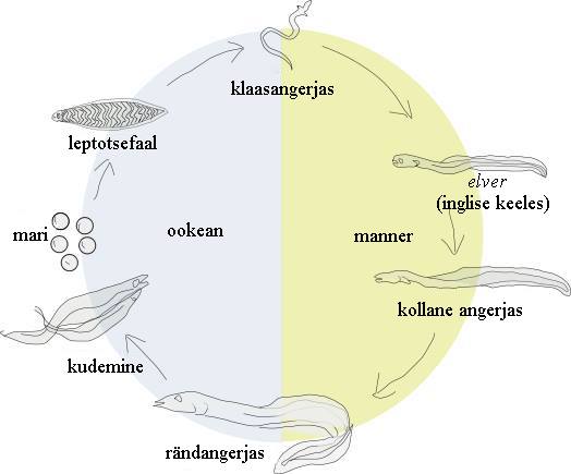
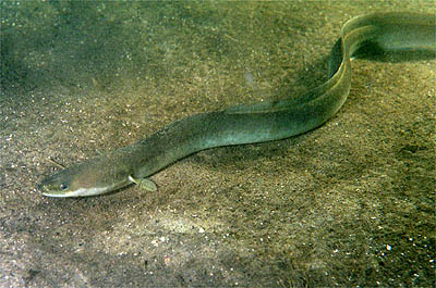
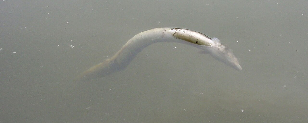
The island’s original Indigenous Arawakan name was Malliouhana. Its current name comes from the Italian word *anguilla*, meaning "eel" (itself from the Latin diminutive of *anguis*, "snake"), a reference to the island’s shape. Anguillan tradition holds that Christopher Columbus gave the island this name.
Indigenous peoples from South America were the first to settle Anguilla. The earliest Native American artifacts found there date to around 1300 BC, with settlement remains from AD 600. Two known petroglyph sites exist: Big Spring and Fountain Cavern. At Big Spring, rock ledges hold over 100 petroglyphs from AD 600–1200, most showing three indentations forming faces.
When Europeans first saw Anguilla is unclear. Some sources say Columbus sighted it on his second voyage in 1493; others credit French Huguenot nobleman and merchant René Goulaine de Laudonnière in 1564. The Dutch West India Company built a fort there in 1631, but abandoned it after the Spanish destroyed it in 1633. Traditional accounts say English settlers from Saint Kitts first colonized Anguilla around 1650, focusing on tobacco and, to a lesser extent, cotton. The French briefly took the island in 1666 but returned it to English control the following year under the Treaty of Breda. Major John Scott visited in September 1667, leaving the island "in good condition," and noted that by July 1668, "200 or 300 people fled thither in time of war." The French attacked again in 1688, 1745, and 1796, causing heavy damage but never capturing the island.
Early European settlers likely brought enslaved Africans with them. Historians confirm African slaves lived in the region by the early 1600s, with slaves from Senegal on St Kitts by the mid-1600s. By 1672, a slave depot on Nevis served the Leeward Islands. Archival evidence shows at least 100 enslaved people on Anguilla by 1683, coming from both Central and West Africa. They were forced to work on sugar plantations, which replaced tobacco as the main crop. Over time, enslaved Africans and their descendants greatly outnumbered white settlers. The British Empire ended the African slave trade in 1807 and outlawed slavery entirely in 1834, after which many planters sold their land or left.
During the early colonial period, Britain administered Anguilla through Antigua, but in 1825 it was placed under Saint Kitts’ control. Anguilla was federated with St Kitts and Nevis in 1882, against many Anguillans’ wishes. Economic stagnation, severe droughts in the 1890s, and the Great Depression of the 1930s drove many to emigrate. Full adult suffrage came in 1952. After a brief stint in the West Indies Federation (1958–1962), Anguilla became part of the associated state of Saint Kitts-Nevis-Anguilla, which gained full internal autonomy in 1967. But many Anguillans resented St Kitts’ dominance and did not want to remain in that union. On 30 May 1967, they forcibly ejected the St Kitts police force and, after a referendum, declared independence from St Kitts. Led by Atlin Harrigan and Ronald Webster, among others, this became known as the Anguillan Revolution—its goal was not full independence but separation from St Kitts and Nevis and a return to British colonial status. After failed negotiations, a second referendum confirmed the desire to separate, and the Republic of Anguilla was unilaterally declared, with Ronald Webster as president. British envoy William Whitlock could not break the deadlock, and in March 1969, 300 British troops were sent to the island. British authority was restored and confirmed by the Anguilla Act 1971 (c. 63) in July 1971. In 1980, Anguilla formally seceded from Saint Kitts and Nevis, becoming a separate British Crown colony (now a British overseas territory). Since then, it has been politically stable, with significant growth in tourism and offshore financing.
Anguilla is a flat, low-lying island of coral and limestone, about 16 miles (26 km) long and 3.5 miles (6 km) wide. It lies east of Puerto Rico and the Virgin Islands, directly north of Saint Martin, separated by the Anguilla Channel. The soil is thin and poor, supporting scrub, tropical, and forest vegetation. The terrain is generally low, with the highest area near The Valley; Crocus Hill, the highest point at 240 feet (73 m), is in the western region.
- Capital
- The Valley
- Land area
- 35 square miles (91 km²)
- Official status
- British Overseas Territory
- Indigenous name
- Malliouhana
Lore & Background
Anguilla is a flat, low-lying island composed of coral and limestone, measuring approximately 16 miles long and 3.5 miles wide at its widest point. It is situated in the Caribbean Sea, east of Puerto Rico and the Virgin Islands, and directly north of Saint Martin, from which it is separated by a channel. The territory includes the main island along with numerous smaller, uninhabited islands and cays. The capital is The Valley. The island's name derives from the Italian word for "eel," a reference to its elongated shape; local tradition holds that Christopher Columbus bestowed this name. The Indigenous Arawakan name for the island was Malliouhana. The earliest Native American artifacts found on Anguilla date to around 1300 BC, with settlement remains from AD 600. Two notable petroglyph sites exist: Big Spring, featuring over 100 rock carvings of faces dating from AD 600 to 1200, and Fountain Cavern. European contact is uncertain, with some sources crediting Columbus in 1493 and others pointing to the French explorer René Goulaine de Laudonnière in 1564. The Dutch established a fort in 1631, destroyed by the Spanish in 1633. English settlers from Saint Kitts colonized the island beginning in 1650, focusing on tobacco and cotton. The French briefly took control in 1666 but returned it under the Treaty of Breda. Enslaved Africans were brought to the island, with at least 100 present by 1683, and they came to vastly outnumber the white settlers. Sugar replaced tobacco as the main crop. The slave trade ended in 1807, and slavery was abolished in 1834. Anguilla was later federated with Saint Kitts and Nevis against local wishes, leading to the Anguillan Revolution in 1967, when the island declared itself independent. British authority was restored in 1969, and Anguilla formally seceded from Saint Kitts and Nevis in 1980, becoming a separate British Overseas Territory.
Reader's Guide
Anguilla’s significance is rooted in its distinctive political evolution and its current stability as a British Overseas Territory. The island’s history is marked by early Indigenous settlement, with artefacts dating to around 1300 BC and petroglyph sites from AD 600–1200. European contact began uncertainly, possibly with Columbus in 1493 or later with a French explorer in 1564. English colonists from Saint Kitts settled around 1650, focusing on tobacco and cotton, while enslaved Africans were brought in, with at least 100 present by 1683, eventually outnumbering white settlers. Sugar replaced tobacco as the main crop. After slavery’s abolition in 1834, many planters left. Anguilla was administered through Antigua, then placed under Saint Kitts in 1825, and federated with St Kitts and Nevis in 1882 against local wishes. Economic hardship and droughts drove emigration. Full adult suffrage arrived in 1952. After a period in the West Indies Federation, Anguilla became part of the associated state of Saint Kitts-Nevis-Anguilla in 1967, but many Anguillans resented St Kitts’ dominance. In May 1967, they expelled the St Kitts police and declared separation, leading to a unilateral declaration of the Republic of Anguilla with Ronald Webster as president. British troops restored order in 1969, and in 1980 Anguilla formally seceded, becoming a separate British colony. Since then, political stability has fostered growth in tourism and offshore finance. Ecologically, the territory
Did You Know?
- The Indigenous Arawakan name for the island was Malliouhana.
- The name 'Anguilla' comes from the Italian word for 'eel', in reference to the island's shape.
Gallery

Frequently Asked Questions
What is Anguilla?
Anguilla is a British Overseas Territory situated in the northeastern Caribbean, making it one of the most northerly islands in the Leeward Islands chain of the Lesser Antilles. It comprises a main island roughly 16 miles long and 3 miles wide, along with several smaller, unpopulated cays.
Where exactly is Anguilla located?
The territory sits in the North Atlantic Ocean, positioned east of Puerto Rico and the U.S. Virgin Islands and directly north of Saint Martin. Its indigenous name, Malliouhana, is still referenced alongside its modern designation.
What is the capital of Anguilla?
The Valley serves as the administrative and population center of the territory. It is the seat of local governance within the British Overseas Territory framework.
More in Other 1-21
Spotted an error? Know more?
This is a living reference — every entry is fact-audited, and reader corrections feed straight into our audit queue. Suggest an edit · See this site's audit record