Stołowe Mountains National Park
National park in southwestern Poland protecting the Table Mountains.
Last updated
Where it is
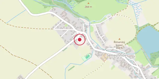
Coordinates: 50°15′43″N 16°08′31″E (50.2620, 16.1420) · Open in OpenStreetMap
Coordinates and connected clubs: the infobox of Wikipedia: Stołowe Mountains National Park (CC BY-SA 4.0). Map: drawn by Codexery from OpenStreetMap tiles.
Stołowe Mountains National Park, also known as Table Mountains National Park, is a national park in southwestern Poland, located in Kłodzko County of the Lower Silesian Voivodeship, on the border with the Czech Republic. Created in 1993, it covers an area of 63.39 square kilometres, of which forests account for 57.79 km². The park protects the Polish section of the Stołowe Mountains, part of the Sudetes range, and is notable for its unique rock formations and peat bogs.
Background
The landscape of the Table Mountains began to form 70 million years ago, shaped by hundreds of thousands of years of erosion. Notable rock formations include Kwoka ("Hen"), Wielblad ("Camel"), and Glowa wielkoluda ("Giant's head"), along with a system of corridors creating rock labyrinths. Plant life is mostly spruce, introduced at the turn of the 19th century to replace pristine beech and fir forests that had been cut; natural woodland covers only about 3% of forested areas. Peat bogs are present, one of which (area 393,000 m²) was listed as a strictly protected area in 1959.
More in National parks of Poland
Sources
Compiled from Wikipedia and the sources listed below. Text from Wikipedia is available under CC BY-SA 4.0; this entry is adapted from it.
- Wikipedia: Stołowe Mountains National Park (CC BY-SA 4.0).
Spotted an error? Know more?
Reader corrections go straight into our review queue. Suggest an edit · How this site is sourced