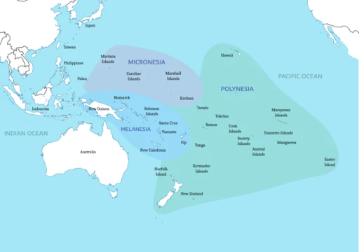
Chongming Island
Alluvial island at the Yangtze mouth, part of Shanghai.

via Wikipedia: Chongming Island · see source
Chongming Island is a silt-formed landmass at the mouth of the Yangtze River in eastern China. As of 2010, it spans 1,267 square kilometers. Along with Changxing and Hengsha, it makes up Chongming District, which is the northernmost part of Shanghai. The 2010 census recorded 660,000 residents. A 12-mile section of the island’s northern coast actually belongs to Jiangsu province, not Shanghai. This oddity consists of two pene-exclaves that emerged when Chongming merged with the former island of Yonglongsha.
The island gets its name from an early settlement on Xisha, one of its original shoals. That settlement was called Chongming because it sat on relatively high, clear ground.
Chongming began as two separate sandbanks—Xisha and Dongsha—that appeared during the Wude Era of the Tang dynasty (618–626 AD). They were initially about 43 miles apart and lay south of a larger island called Dongbuzhou, which later became part of the Qidong peninsula in Jiangsu. Xisha was also known as Gujunsha. By 705 AD, a town called Chongming had been established on Xisha. The islands constantly changed in number, size, and shape due to Yangtze floods. In 1025, a new island called Yaoliusha formed northwest of Dongsha, named after its first settlers. In 1101, Sansha rose for the third time, stabilizing about 50 Chinese miles northwest of Yaoliusha. During the Yuan dynasty (12th–13th centuries), several more islands appeared, including Yingqiansha, Matuosha, and Zhangpusha. Early inhabitants were mostly fishermen and salt collectors, with their main saltworks at Tianci.
In 1277, under Kublai Khan, the Yuan dynasty established Chongming Prefecture within Yangzhou. Because the sands kept shifting, the county seat had to be moved repeatedly. During the late Yuan and early Ming dynasties, migrants from Pudong and other parts of Songjiang Prefecture began settling the sparsely populated shoals. They introduced cotton farming, which spread widely before China opened to international trade in the later Qing dynasty. Small-scale textile production existed, but most cotton was exported to Songjiang, Hangzhou, and other developed areas of Jiangnan. In 1396, the Ming government downgraded the prefecture to a county. Soon after, a major subsidence sank all of Dongsha and most of Xisha, causing a mass exodus back to the mainland. Around the same time, Sansha expanded northward while Yaoliusha eroded in the south and built up in the north, effectively moving toward Sansha.
Chongming County later fell under Suzhou and then Taicang Prefectures. During the Ming dynasty, many new shoals appeared in succession, including Ma'ansha, Chen'ensha, Gaomingsha, Xiaoyinsha, Changsha, Yuanjiasha, Xiangsha, Gaotousha, and about twenty others. From 1522 to 1722, these shoals frequently flooded or collapsed. Yaoliusha and Sansha eroded away; Xisha, Chenensha, Fanliansha, and others sank. In the west, Pingyangsha rose, sank, and eventually merged with nearby Yuanjiasha, Wujiasha, Xiangsha, and Nansha. Around the end of the Ming dynasty in 1644, these islands had merged all the way to Gaotousha in the west, forming a single mass about 200 Chinese miles east to west and 40 north to south. Their unification with remaining nearby islands by 1681 essentially created present-day Chongming, though it was much smaller then. Between the Shunzhi and Kangxi eras (1644–1722), about 25 new shoals like Rilongsha, Yongansha, Ping'ansha, and Dongsansha appeared and remained stable.
Under the Republic of China, Chongming was first placed under Nantong and then under the Songjiang Special Administration District. During World War II, it was initially run by a separate pacification team, then as part of Shanghai’s Great Way Government, and finally as a county of the Wang Jingwei regime, a Japanese puppet state in Nanjing. Nine years after the founding of the People’s Republic, in December 1958, it was placed under Shanghai’s jurisdiction. During the Down to the Countryside Movement, many sent-down youth from Shanghai went no farther than Chongming. Large-scale reclamation of the island’s northern and eastern tidal flats in the 1960s and 1990s doubled its size between 1950 and 2010. In 1972, Chongming began absorbing the separate island of Yonglongsha, which created the Jiangsu enclaves on its northern shore. A planned ecocity called Dongtan, intended to open alongside the 2010 World Expo in Shanghai, stalled after the 2006 ouster of Communist Party Chief Chen Liangyu.
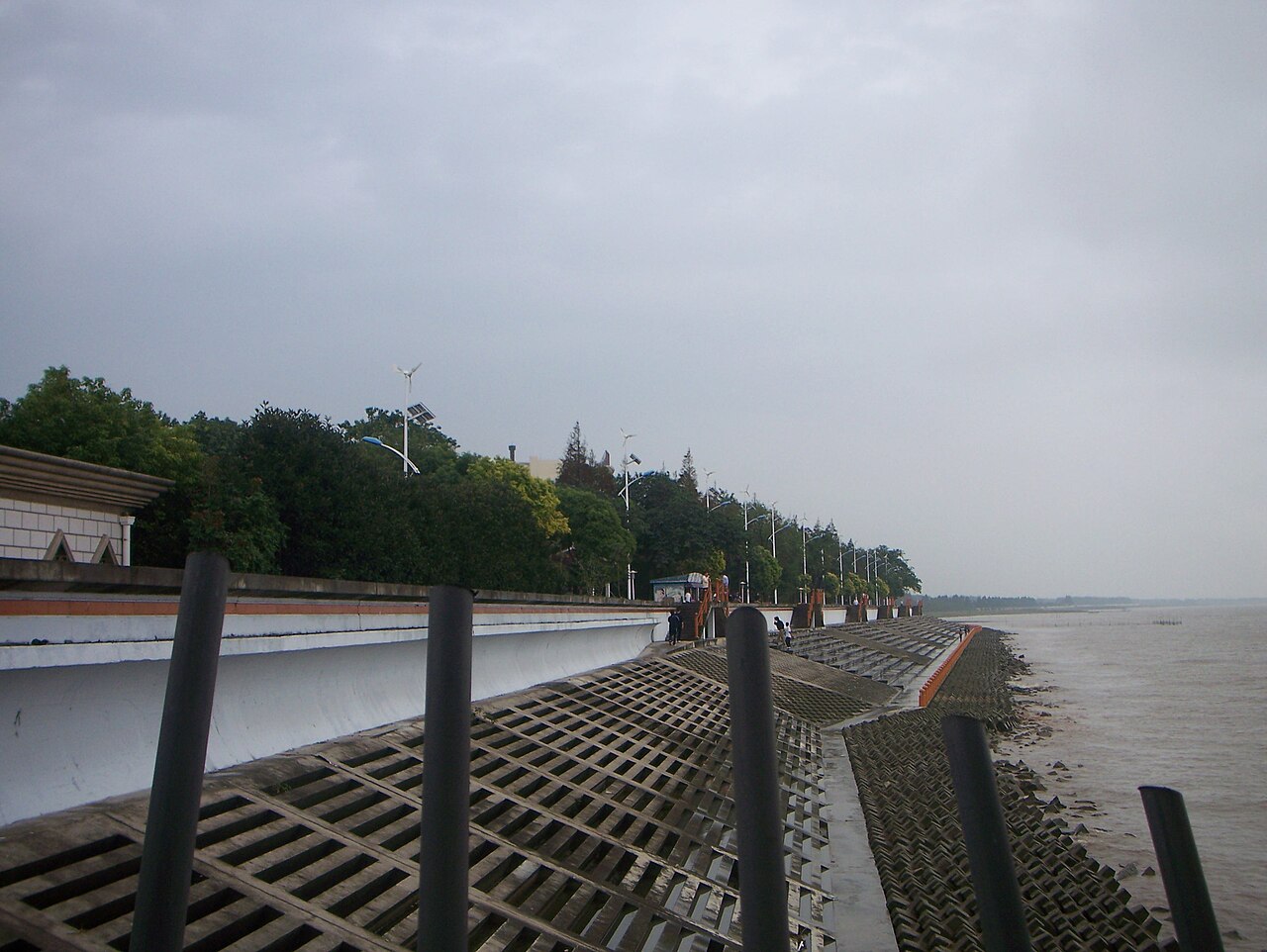
Geographically, Chongming stretches about 50 miles east to west and generally 8 to 11 miles north to south, covering 1,267 square kilometers. Its average elevation is between 5 and 8.5 feet above sea level, with the northwest and central areas slightly higher than the southwest and east. The island sits in the Yangtze River, splitting it into northern and southern channels just before the river enters the East China Sea. It forms Shanghai’s northernmost point, separated from Baoshan and Pudong New Area by the Yangtze, across from the mouth of the Huangpu River. In Jiangsu, most of Haimen and...
- area
- 1,267 square kilometers (489 sq mi) as of 2010
- population
- 660,000 at the 2010 Chinese census
- location
- Mouth of the Yangtze River, East China
- administrative_division
- Chongming District, Shanghai
- average_elevation
- 1.6–2.6 meters (5 ft 3 in – 8 ft 6 in) above sea level
Verified Timeline
Lore & Background
Present-day Chongming first developed as two separate shoals—Xisha and Dongsha—during the Wude Era (AD 618–626) of the Tang dynasty. By the first year of Shenlong (705), a town was established on Xisha known as 'Chongming'. The number, size, and shapes of the islands fluctuated repeatedly over time and with the floods of the Yangtze. In the 14th year of Zhiyuan (1277) under Kublai Khan of the Yuan, Chongming Prefecture was organized within Yangzhou. During the late Yuan and early Ming, migrants from Pudong and other areas of Songjiang Prefecture introduced cotton cultivation. In the 2nd year of Hongwu (1396) under the Ming, the prefecture was downgraded to a county and, shortly afterwards, a major subsidence—sinking the entirety of Dongsha and most of Xisha—provoked a mass emigration back to the mainland. Over the Ming and Qing, numerous shoals arose and sank; by 1681, the unification of remaining islands effectively created present-day Chongming, although it remained much smaller at the time. Reclamation, particularly large-scale work on the island's northern and eastern tidal flats in the 1960s and 1990s, doubled the size of the island between 1950 and 2010.
Reader's Guide
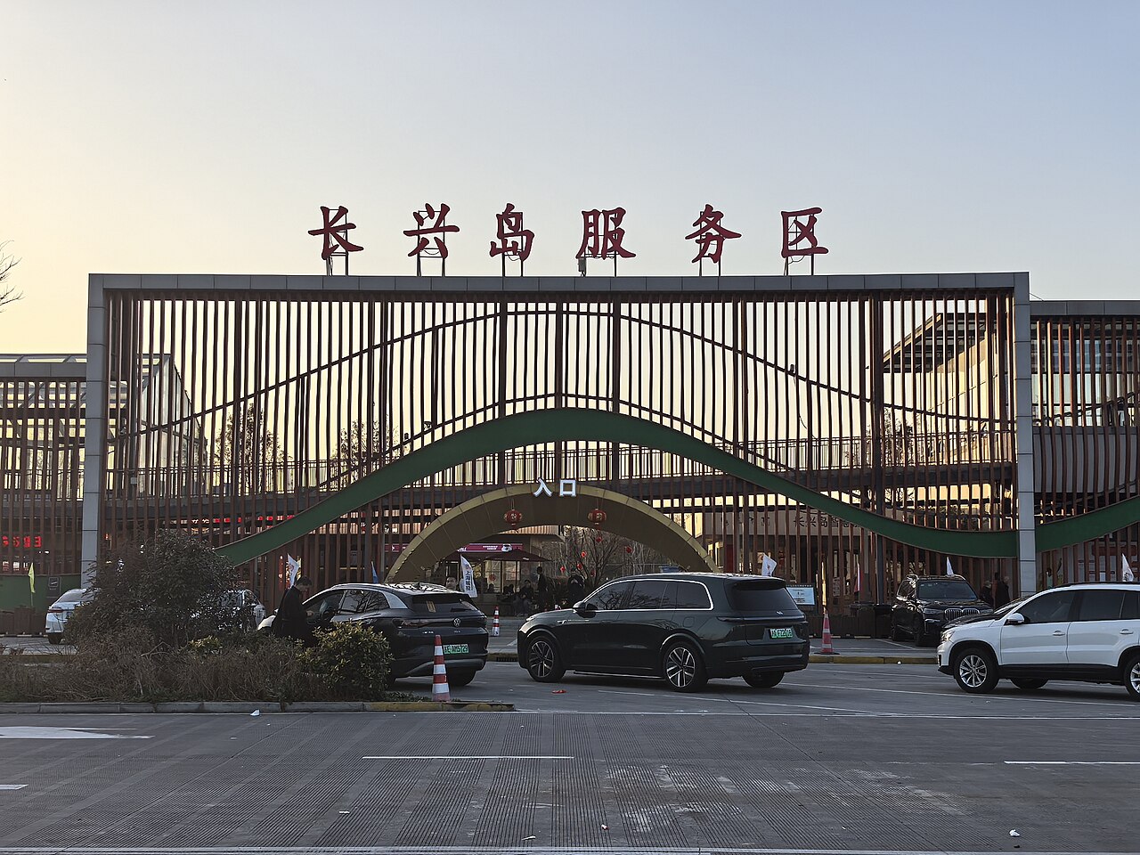
Chongming Island's significance lies in its dynamic geography and its role as the northernmost district of Shanghai. The island is about 81 kilometers (50 mi) running east and west and generally between 13 and 18 kilometers (8.1 and 11.2 mi) north to south, covering 1,267 square kilometers (489 sq mi). It has an average elevation of 1.6–2.6 meters (5 ft 3 in – 8 ft 6 in) above sea level. The island doubled in size between 1950 and 2010 through large-scale reclamation, particularly on its northern and eastern tidal flats. It also contains two pene-exclaves of Jiangsu on its north shore, formed by the connection of Chongming to the formerly separate island of Yonglongsha—Haiyong (around 12.5 km²) and Qilong (stretching 20 km along the north shore, area around 36.8 km²). Chongming is a center of Shanghai's shipbuilding and maritime equipment industries, whose main base is on nearby Changxing. The island's tourism focuses on three zones—East, Central, and West Chongming—featuring Dongtan Wetland Park, Dongping National Forest Park, Mingzhu Lake Park, and cultural sites such as one of Shanghai's three Confucian temples.
Did You Know?
- The island is named for Chongming, an early settlement on the island of Xisha that was named for its placement on relatively high and clear ground.
- A 20-kilometer-long stretch of the north shore of the island consists of two pene-exclaves of Jiangsu, formed by the connection of Chongming to the formerly-separate island of Yonglongsha.
- Reclamation, particularly large-scale work on the island's northern and eastern tidal flats in the 1960s and 1990s, doubled the size of the island between 1950 and 2010.
- Dongtan was a proposed ecocity which was planned to open along with the 2010 World Expo in Shanghai but stalled following the 2006 ouster of the Communist Party Chief Chen Liangyu.
- The Tour of Chongming Island is an annual elite international women's cycling race consisting of a one-day race and a stage race.
A Land Forged by River and Time
What we now call Chongming did not exist as a single landmass for most of its history. During the Wude Era of the Tang dynasty, around 618 to 626, two separate shoals—Xisha to the west and Dongsha to the east—began to consolidate at the Yangtze's mouth, roughly seventy kilometers apart. Over the following centuries, the river's floods and shifting sediments produced a restless archipelago. New islands like Yaoliusha appeared in 1025, Sansha stabilized by 1101, and the Yuan dynasty saw at least a dozen more shoals rise. Yet just as quickly, land vanished: Yaoliusha and Sansha eroded away, Xisha sank, and dozens of Ming-era shoals flooded back into the river. The great unification came around 1644, when western islands merged into a single mass stretching two hundred Chinese miles east to west. By 1681 the coalescence was essentially complete, though the resulting island was still far smaller than today's 1,267-square-kilometer landmass.
From Shoal to Prefecture to County
The political life of Chongming mirrors its physical instability. In 1277, under Kublai Khan's Yuan dynasty, the scattered islands were organized into Chongming Prefecture within Yangzhou, but the ever-shifting sands forced authorities to relocate the county seat more than once. A century later the Ming downgraded the prefecture to a county in 1396, and a catastrophic subsidence that swallowed Dongsha entirely and most of Xisha triggered a mass exodus of residents back to the mainland. Through the late Ming and into the Qing, the county was shuffled between Suzhou and Taicang Prefectures. Under the Republic it fell under the Nantong and then Songjiang Special Administration Districts. The Japanese occupation brought a sequence of puppet administrations—a pacification team, Shanghai's Great Way Government, and finally the Wang Jingwei regime in Nanjing. After the founding of the People's Republic, Chongming waited nine years before being formally incorporated into the Shanghai municipality in December 1958.
Cotton, Salt, and the Tidal Flats
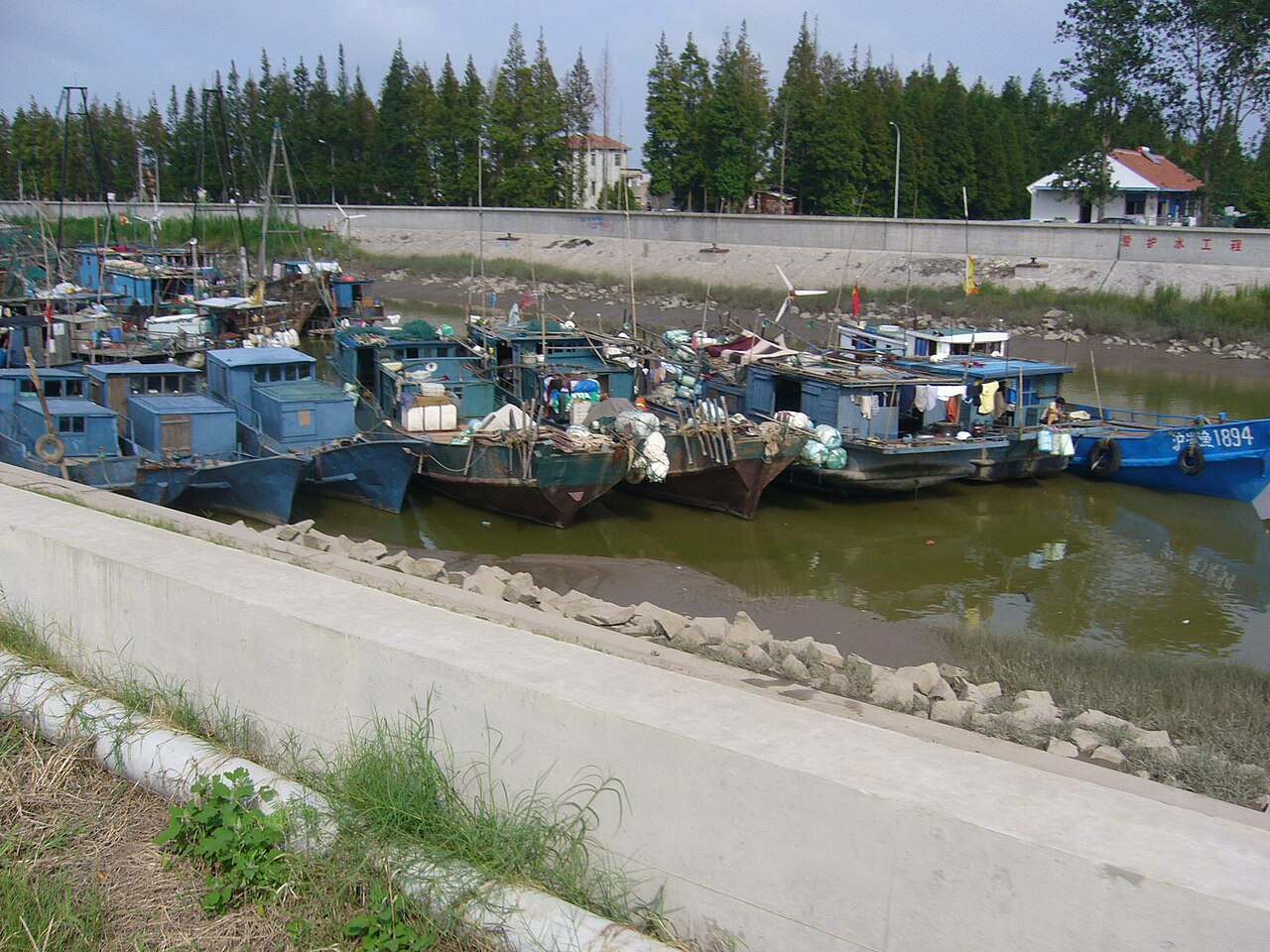
The earliest communities on the Yangtze's delta islands were modest: fishermen and salt collectors who worked the tidal flats, with their principal saltern at a place called Tianci. A more transformative wave arrived during the late Yuan and early Ming, when migrants from Pudong and other parts of Songjiang Prefecture settled the sparsely inhabited shoals. These newcomers brought cotton cultivation, which spread rapidly across the islands before China opened to wider international trade in the later Qing period. Local textile production remained small-scale, but the bulk of the cotton was shipped to the more developed Jiangnan cities of Songjiang and Hangzhou for processing. In the twentieth century the island's physical footprint expanded dramatically through state-directed reclamation. Large-scale land reclamation on the northern and eastern tidal flats in the 1960s and again in the 1990s effectively doubled the island's area between 1950 and 2010, reshaping the coastline and adding vast new ground to the Yangtze's mouth.
Shanghai's Northern Frontier
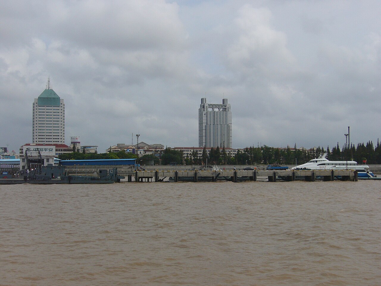
Today Chongming sits at the very top of Shanghai's administrative map, its 660,000 residents (2010 census) living on a strip of land roughly eighty-one kilometers long and thirteen to eighteen kilometers wide, averaging barely two meters above sea level. The island is about two hours from central Shanghai, separated from Baoshan and Pudong by the Yangtze's twin channels. Its continuous growth has created a peculiar administrative quirk: a twenty-kilometer stretch of the north shore belongs not to Shanghai but to Jiangsu, forming two pene-exclaves after the island absorbed the formerly separate Yonglongsha in 1972. During the Down to the Countryside Movement, many of Shanghai's sent-down youth found their rural posting no further than Chongming itself. The island's most ambitious modern project, the Dongtan ecocity, was slated to open alongside the 2010 World Expo but stalled after the 2006 ouster of Party Chief Chen Liangyu, leaving the vision unfinished.
Gallery
Frequently Asked Questions
What is Chongming Island and where exactly is it located?
Chongming Island is a large alluvial landmass sitting at the Yangtze River's estuary in East China. It anchors the northernmost stretch of Shanghai's municipal territory, paired with the smaller Changxing and Hengsha islands to form Chongming District.
How big is Chongming Island, and has its size changed over time?
By 2010 the island spanned roughly 1,267 square kilometers (489 sq mi). Sediment build-up and deliberate reclamation projects roughly tripled its footprint between 1950 and 2010, so the coastline is still actively extending seaward.
How many people call Chongming Island home?
The 2010 national census counted about 660,000 residents living on the island. Administratively, it operates as Chongming District under the provincial-level municipality of Shanghai.
How elevated is Chongming Island above sea level?
The island's mean elevation is only about 1.6 to 2.6 meters (5 ft 3 in to 8 ft 6 in) above sea level, reflecting its origin as a low-lying river-delta deposit rather than a volcanic or tectonic landform.
What makes Chongming Island geographically notable among the world's islands?
It is one of the largest alluvial islands on Earth, still growing as the Yangtze dumps fresh sediment into the East China Sea. Its constantly shifting sands and centuries of human reclamation make it a textbook case of a living deltaic island in formation.
More in Islands Of The Pacific 1-19
Spotted an error? Know more?
This is a living reference — every entry is fact-audited, and reader corrections feed straight into our audit queue. Suggest an edit · See this site's audit record