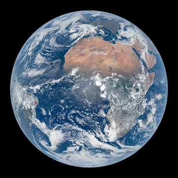
Plateau
High, flat landform raised sharply above surrounding terrain.
Last updated

Alasdair MacDonald · CC BY-SA 2.0
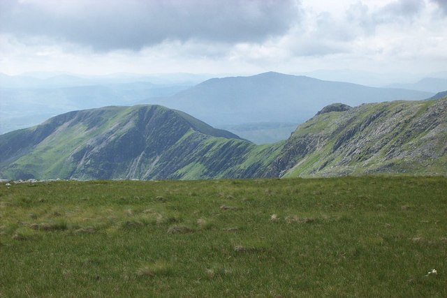
A plateau, also known as a high plain or tableland, is a landform characterized by flat, elevated terrain that rises abruptly from the surrounding area on at least one side, often featuring deep escarpments or hills. These formations arise through several geological processes.
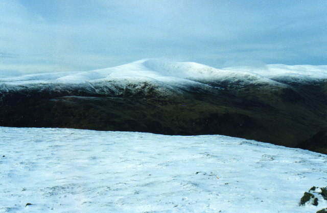
Volcanic activity can create plateaus when magma upwells from the mantle, swelling the ground upward into a broad, flat expanse, or when lava extrudes from cracks and weak points in the crust, building up rock layers over time. Tectonic plate movements also uplift large, uniform-altitude plateaus, while erosion by water and glaciers can carve mountains down into elevated flatlands or leave plateaus sitting between ranges. Highly eroded examples, known as dissected plateaus, are cut by rivers and broken by deep, narrow valleys.
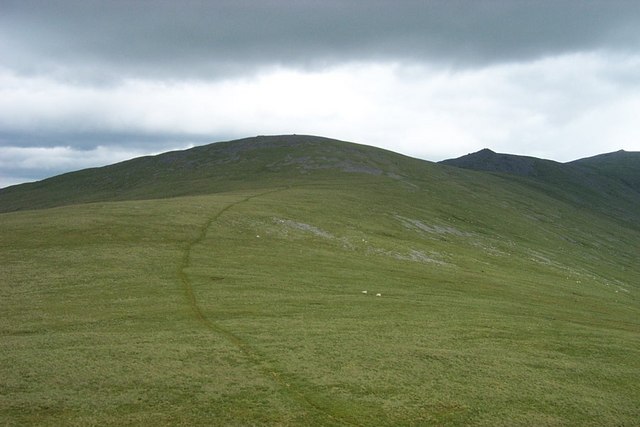
Plateaus are classified by their surrounding environment. Intermontane plateaus, among the highest and most extensive, are enclosed by fold mountains—the Tibetan Plateau, for instance, lies between the Himalayas and the Kunlun Mountains. Piedmont plateaus are bordered on one side by mountains and on the other by a plain or sea, such as the Piedmont Plateau of the eastern United States. Continental plateaus are surrounded by plains or oceans, like the Antarctic Plateau in East Antarctica.
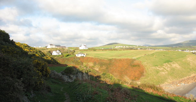
Notable examples include the Ethiopian Highlands, Africa’s highest plateau, where most of the surface lies above 1,500 meters, and the Highveld of South Africa, which supports major urban areas. The Tibetan Plateau, the world’s largest and highest, covers roughly 2.5 million square kilometers at an average elevation of over 4,500 meters, influencing monsoon patterns. The Colorado Plateau in North America, bisected by the Grand Canyon, was formed over millions of years as subterranean forces gradually uplifted the land while the Colorado River eroded its course.
Quick Facts
- Definition
- Area of highland with flat terrain raised above surroundings
- Formation processes
- Volcanic upwelling
- lava extrusion
- tectonic movements
- water and glacial erosion
- Classification types
- Intermontane
- piedmont
- continental
- Highest plateau
- Tibetan Plateau (Roof of the World)
- Example volcanic plateau
- Columbia Plateau (United States)
- Example continental plateau
- Antarctic Plateau
Facts from the source article.
Lore & Background
Plateaus, also known as high plains or tablelands, are elevated landforms characterized by a flat top that rises sharply above the surrounding terrain on at least one side, often featuring deep escarpments or hills. Their appearance can vary from a small flat summit to a much broader one. They are formed through several distinct geological processes.
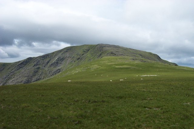
Volcanic activity can create plateaus either when magma upwelling from the mantle causes the ground to swell upward, or when lava spreads outward from cracks in the crust and builds up over time. Notable examples of such lava plateaus include the Antrim Plateau in Northern Ireland, the Deccan Plateau in India, the Big Raven Plateau in Canada, and the Columbia Plateau in the United States. Tectonic plateaus arise from the movement of tectonic plates, which cause large areas of land to uplift to a fairly uniform altitude, as seen in the Deccan Plateau and the Meseta Central on the Iberian Peninsula.
Erosional processes also shape plateaus: glaciers can erode mountain ranges, leaving plateaus sitting between them, while water erosion can carve mountains into plateaus. Highly eroded plateaus cut by rivers and broken by deep, narrow valleys are known as dissected plateaus, such as the Scottish Highlands. Plateaus are classified by their surroundings: intermontane plateaus are enclosed by fold mountains and are among the highest and most extensive, like the Tibetan Plateau between the Himalayas and the Kunlun Mountains; piedmont plateaus are bordered by mountains on one side and a plain or sea on the other, such as the Piedmont Plateau of the Eastern United States; and continental plateaus are bordered by plains or oceans on all sides, like the Antarctic Plateau in East Antarctica.
Reader's Guide
Plateaus are significant landforms that cover large areas of Earth's surface and influence climate, ecosystems, and human settlement. The Tibetan Plateau, the largest and highest, drives the Indian monsoons by reversing Hadley cell convection. The Altiplano in South America hosts major cities like La Paz and El Alto, while the Mexican Plateau is home to over 70 million people. Plateaus also contain unique geological features, such as the Grand Canyon carved into the Colorado Plateau.
Their classification helps geographers understand regional geology: intermontane plateaus lie between fold mountains, piedmont plateaus border mountains on one side and plains on the other, and continental plateaus are surrounded by plains or oceans. The Antarctic Plateau, covered by massive ice, demonstrates how isostatic rebound may raise land as ice melts. Overall, plateaus provide flat, elevated terrain for agriculture, urban development, and scientific study.
Did You Know?
- The Tibetan Plateau is sometimes metaphorically described as the 'Roof of the World'.
- The Antarctic Plateau covers most of East Antarctica and has 3,000 m of superficial ice.
- The Altiplano plateau hosts Lake Titicaca, the largest lake in South America.
More in Geology & Earth Surface
Sources
Compiled from Wikipedia and the sources listed below. Text from Wikipedia is available under CC BY-SA 4.0; this entry is adapted from it.
- Wikipedia: Plateau (CC BY-SA 4.0).
- Word definitions: the Codexery glossary, each quoted from its Wikipedia article.
Spotted an error? Know more?
Reader corrections go straight into our review queue. Suggest an edit · How this site is sourced