Bad Pass Trail
Pre-Columbian Native American route marked by stone cairns.
Last updated
Where it is
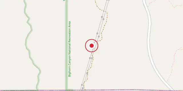
Coordinates: 45°00′18″N 108°16′37″W (45.0050, -108.2770) · Open in OpenStreetMap
Coordinates and connected clubs: the infobox of Wikipedia: Bad Pass Trail (CC BY-SA 4.0). Map: drawn by Codexery from OpenStreetMap tiles.
The Bad Pass Trail, also called the Sioux Trail, is a pre-Columbian route on the Montana-Wyoming border. It connected the Bighorn Basin to bison-hunting grounds near Grapevine Creek. Used by Native Americans for ten to twelve thousand years, it later served fur trappers and mountain men beginning in 1824. The trail is marked by stone cairns and features numerous tipi rings.
More in Trails and Roads in the American Old West
Sources
Compiled from Wikipedia and the sources listed below. Text from Wikipedia is available under CC BY-SA 4.0; this entry is adapted from it.
- Wikipedia: Bad Pass Trail (CC BY-SA 4.0).
Spotted an error? Know more?
Reader corrections go straight into our review queue. Suggest an edit · How this site is sourced