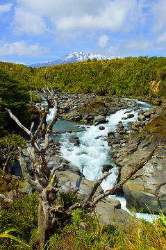
Mount Tongariro
Northernmost active volcano of New Zealand's central North Island.
Last updated

via Wikipedia: Mount Tongariro · see source
Where it is
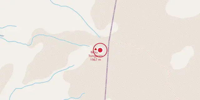
Coordinates: 39°07′48″S 175°38′10″E (-39.1300, 175.6360) · Open in OpenStreetMap
Coordinates and connected clubs: the infobox of Wikipedia: Mount Tongariro (CC BY-SA 4.0). Map: drawn by Codexery from OpenStreetMap tiles.
In New Zealand's central North Island, Mount Tongariro is a compound volcano sitting 20 km southwest of Lake Taupō. It is the northernmost of three active volcanoes shaping that region, located within the Taupō Volcanic Zone.
History
Mount Tongariro sits inside Tongariro National Park, which was New Zealand’s first national park and one of the earliest anywhere in the world. In 1887, Te Heuheu Tukino IV (Horonuku), the paramount chief of the Māori Ngati Tuwharetoa iwi, set the area aside—literally making it sacred—and it later became a national park to protect its natural beauty. The park also holds the peaks of Ngauruhoe and Ruapehu, both southwest of Tongariro. It is a dual World Heritage Site, recognized for both its natural features and its intangible cultural values.
The Tongariro Alpine Crossing hiking trail runs between Tongariro and Ngauruhoe. Peter Jackson chose this mountain and its surroundings as one of the locations for his The Lord of the Rings film trilogy. The oldest known volcanic activity in the region happened 933,000 years ago, give or take 46,000 years, at Hauhungatahi, northwest of Ruapehu. After that, there is a gap in identified materials until a small lava inlier on Tongariro’s western side, dated to 512,000 years ago, give or take 59,000 years, now mostly buried by newer activity.
Eruptive history
The complex’s cone is 90 cubic kilometers, and its ring-plain is 60 cubic kilometers, with multiple eruptive centers aligned along the Taupō volcanic rift and bounded by the Waihi and Poutu fault zones. Formation started around 304,000 years ago in the Tama lakes area and was definitely established by 230,000 years ago. The eruptive centers stretch from the Te Maari craters in the northeast to the Tama Lakes in the southwest, including Mount Ngauruhoe and North Crater, both of which needed ice-free conditions after the last ice age to form.
Pukeonake, about 6 kilometers west of the main vent line, is a satellite vent. The largest recent eruptions, each over 0.2 cubic kilometers, happened between 16,600 and 26,000 years ago (Rotoaira tephras), around 11,400 years ago (Pahoka tephra), and the biggest Mangamate Formation at about 11,200 years ago. The Pahoka-Mangamate sequence was a fierce 200-year stretch of large explosive eruptions from multiple vents between Tongariro and Ruapehu, totaling roughly 4.5 cubic kilometers.
Geology
Mount Tongariro is part of the Tongariro volcanic centre, which includes four andesite massifs: Tongariro, Kakaramea-Tihia Massif, Pihanga, and Ruapehu. The andesitic eruptions built Tongariro as a steep stratovolcano reaching 1978 m, composed of layers of lava and tephra. Eruptions forming the current stratovolcano began about 275,000 years ago. Tongariro has at least 12 cones; Ngauruhoe, often considered a separate mountain, is geologically a cone of Tongariro and its most active vent, erupting over 70 times since 1839, with the last episode from 1973 to 1975.
Te Māri Craters erupted in 2012, the first activity there since 1897. Red Crater last erupted ash in 1926 and has active fumaroles. Water-filled explosion craters include Blue Lake and the Emerald Lakes. The high altitude and severe alpine climate between March and October allow winter snowfall and freezing rain, while mid to late summer leaves the mountains mostly bare.
No glaciers exist on Tongariro today, but moraines and cirques indicate former glaciers; dating shows valley glaciers were present during the last glacial cycle until about 18,000 years ago.
More in Tongariro National Park
Sources
Compiled from Wikipedia and the sources listed below. Text from Wikipedia is available under CC BY-SA 4.0; this entry is adapted from it.
- Wikipedia: Mount Tongariro (CC BY-SA 4.0).
Spotted an error? Know more?
Reader corrections go straight into our review queue. Suggest an edit · How this site is sourced