Stora Sjöfallet National Park
Swedish national park with a waterfall diminished by hydroelectric development.
Last updated
Where it is
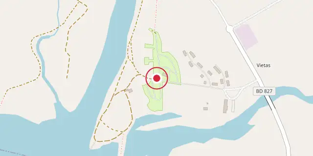
Coordinates: 67°28′59″N 18°21′00″E (67.4830, 18.3500) · Open in OpenStreetMap
Coordinates and connected clubs: the infobox of Wikipedia: Stora Sjöfallet National Park (CC BY-SA 4.0). Map: drawn by Codexery from OpenStreetMap tiles.
The park was originally created to protect the great waterfall Stuor Muorkkegårttje, but subsequent hydroelectric development severely reduced its water flow, leading to the falls' removal from the park.
Background
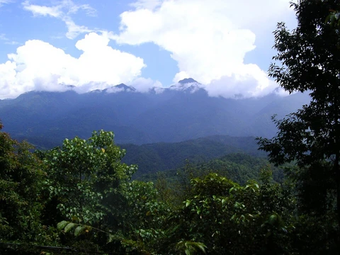
The park's name derives from a five-level waterfall on the Lule River. Each level is named after a person important to Lapland's history: SG Hermelin, Lars Levi Laestadius, Düben, Carl Anton Petterson, and Henrik Adolf Widmark. The park's geography includes the mountain Áhkká south of the artificial lake Akkajaure, with thirteen peaks and ten glaciers.
Global warming causes the glaciers to melt 10 meters each year. Bird species observed include European golden plover, meadow pipit, and the rare lesser white-fronted goose. Mammals include reindeer, moose, red fox, and rarer species like lynx, wolverine, and brown bear.
Tourism access is easiest from the road from Porjus, and Kungsleden passes through the northern part. Activities include fishing, skiing, snowmobiling, hiking, and ice climbing. Special rules prohibit hunting, fishing, picking plants, collecting minerals, and flying below 300 meters, but allow gathering dead branches for fires and picking berries and fungi.
More in Mountain And Alpine Reserves
Sources
Compiled from Wikipedia and the sources listed below. Text from Wikipedia is available under CC BY-SA 4.0; this entry is adapted from it.
- Wikipedia: Stora Sjöfallet National Park (CC BY-SA 4.0).
Spotted an error? Know more?
Reader corrections go straight into our review queue. Suggest an edit · How this site is sourced