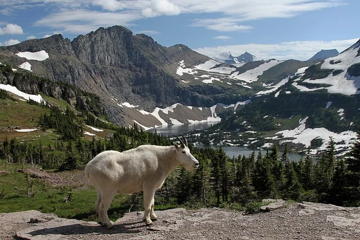
Lewis Range
A Rocky Mountain range shaped by the Lewis Overthrust.
The Lewis Range is a part of the Rocky Mountains straddling northern Montana and southern Alberta. It was created by the Lewis Overthrust, a fault where older Proterozoic rock was pushed over younger Cretaceous rock. This range lies within Waterton Lakes National Park in Canada, and Glacier National Park and the Bob Marshall Wilderness Complex in the United States. Its tallest peak, Mount Cleveland, rises to 10,479 feet.
Quick Facts
- Country
- United States, Canada
- Parent
- Border Ranges
- Orogeny
- Lewis Overthrust
- Highest
- Mount Cleveland
- Highest location
- Montana
- Elevation (ft)
- 10479
- Listing
- Mountain ranges of Montana, Mountain ranges of Alberta
Facts from the source article.
Background
The Lewis Overthrust began 170 million years ago, when an enormous slab of Precambrian rocks 3 mi thick, 50 mi wide and 160 mi long faulted and slid over newer rocks of the Cretaceous period. In this relatively rare occurrence, older rocks are now positioned above newer ones. The Continental Divide spans much of the uppermost sections of the range. Major peaks include Mount Cleveland (10,479 ft), the highest peak in the range and in Glacier National Park. Other prominent peaks include Mount Stimson (10,142 ft), Mount Jackson (10,052 ft), Mount Siyeh (10,014 ft), Going to the Sun Mountain (9,642 ft) and the isolated Chief Mountain (9,080 ft). This sharp range begins north of Marias Pass and includes Logan Pass which bisects Glacier National Park east to west.
More in Glacier National Park
Spotted an error? Know more?
Reader corrections go straight into our review queue. Suggest an edit · How this site is sourced