Area navigation
RNAV enables flexible, direct flight paths beyond ground-based beacon routes.
Last updated

habiloid · CC BY-SA 2.0
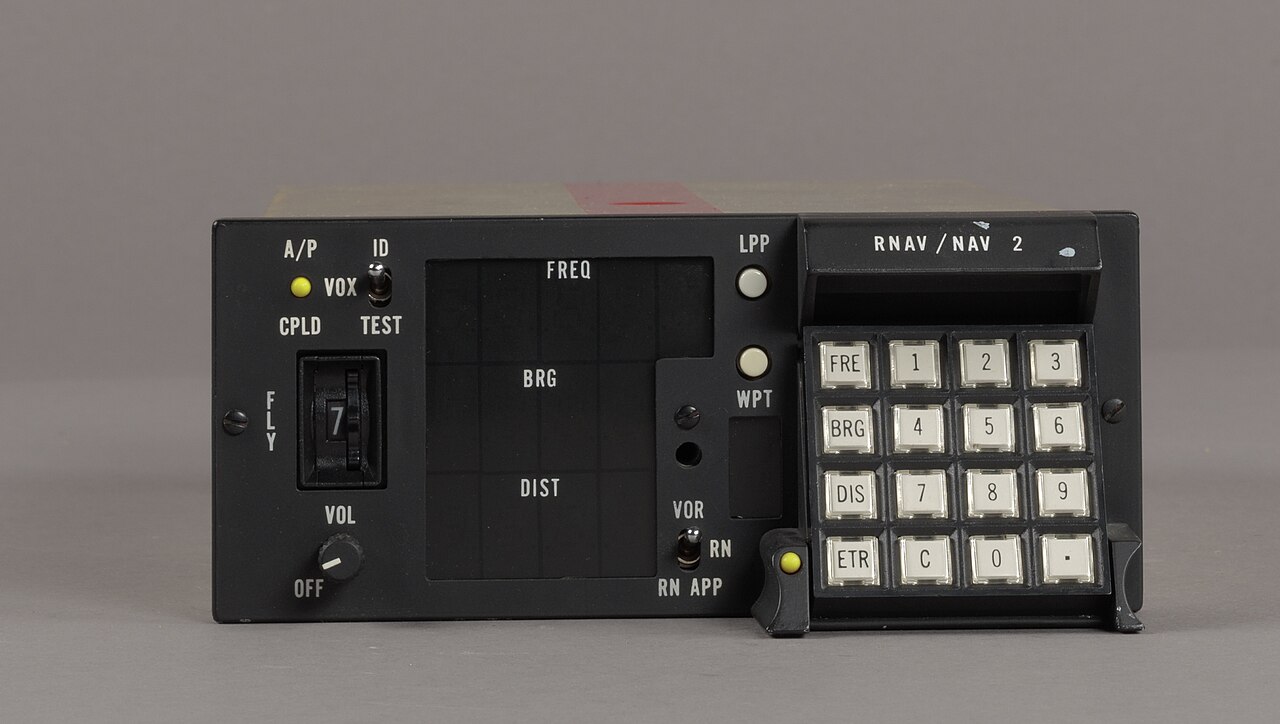
Area navigation (RNAV) is an instrument flight rules (IFR) navigation method that lets aircraft follow a chosen flight path instead of being limited to routes set by ground-based navigation beacons. The acronym originally meant "random navigation," capturing the early idea of flexible routing, but today it describes a precise and controlled system. This flexibility allows for more direct paths, which can cut flight time and fuel use, ease airspace congestion, and enable flights to airports without traditional navigation aids.

RNAV works by combining data from multiple sources: ground-based beacons (like station-referenced signals), self-contained systems such as inertial navigation, and satellite navigation like GPS. In the United States, RNAV was developed in the 1960s, with the first routes published in the 1970s. In January 1983, the Federal Aviation Administration canceled all RNAV routes in the contiguous U.S. after finding that aircraft relied on inertial navigation systems instead of ground-based beacons, and a cost-benefit analysis no longer supported maintaining the system. RNAV was brought back after satellite navigation became widespread.
Background
The growth of aviation has increased demands on airspace capacity, making area navigation attractive for its operational efficiency. RNAV systems evolved similarly to conventional ground-based routes. A specific system was identified and tested through analysis and flight trials. For land operations, early systems used VOR and DME for position estimation; for oceanic flights, inertial navigation systems were used.

Airspace and obstacle clearance criteria were based on the performance of available equipment, and requirements were set according to existing capabilities. This prescriptive approach delayed the introduction of new RNAV capabilities and raised certification costs. To avoid this, an alternative method was introduced that defines equipment requirements by performance, independent of specific technologies.
This is called performance-based navigation (PBN). RNAV is now one technique within PBN; the other is required navigation performance (RNP). RNP systems add onboard performance monitoring and alerting to RNAV capabilities. Due to industry decisions in the 1990s, most modern systems are RNP.
Quick Facts
- Developed in
- 1960s
- First routes published
- 1970s
- Lateral accuracy designation
- RNAV X (e.g., RNAV 1), where X is nautical miles achieved at least 95% of flight time
Facts from the source article.
Lore & Background
RNAV was developed in the United States in the 1960s, and the first such routes were published in the 1970s. In January 1983, the Federal Aviation Administration revoked all RNAV routes in the contiguous United States due to findings that aircraft were using inertial navigation systems rather than the ground-based beacons, and so cost–benefit analysis was not in favor of maintaining the RNAV routes system. RNAV was reintroduced after the large-scale introduction of satellite navigation.
RNAV systems evolved in a manner similar to conventional ground-based routes and procedures. For land-based operations, initial systems used VOR and DME for estimating position; for oceanic operations, inertial navigation systems were employed.
RNAV is now one of the navigation techniques of performance-based navigation (PBN); the only other is required navigation performance (RNP). RNP systems add on-board performance monitoring and alerting to the navigation capabilities of RNAV. Many RNAV systems, while offering very high accuracy and possessing many of the functions provided by RNP systems, are not able to provide assurance of their performance.
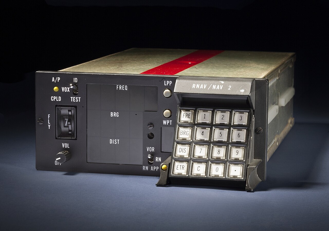
RNAV specifications include functional requirements such as continuous indication of aircraft position relative to track, display of distance and bearing to the active waypoint, display of ground speed or time to the active waypoint, navigation data storage, and appropriate failure indication. Lateral navigation accuracy may be affected by path definition error, flight technical error, and navigation system error. There are no RNAV approach specifications.
Reader's Guide
RNAV's significance lies in its role as a foundational method within performance-based navigation (PBN), enabling more direct and efficient flight paths compared to traditional ground-based beacon navigation. Its reintroduction after satellite navigation became widespread allowed for flexible routing that reduces flight time, fuel consumption, and airspace congestion. While RNAV and RNP applications are expected to co-exist for many years, RNP systems provide improvements in integrity, permitting possibly closer route spacing and offering safety and efficiency benefits.
A gradual transition to RNP applications is anticipated as the proportion of aircraft equipped with RNP systems increases and transition costs decrease. RNAV specifications define required accuracy, integrity, availability, continuity, and functionality without prescribing specific sensors, allowing civil aviation authorities to update technology while keeping operational requirements stable. In the United States, FAA operational guidance covers RNAV eligibility and use on RNAV routes (including Q-routes and T-routes) and RNAV terminal procedures such as standard instrument departures and standard terminal arrival routes.
More in Flight Instruments and Avionics
Sources
Compiled from Wikipedia and the sources listed below. Text from Wikipedia is available under CC BY-SA 4.0; this entry is adapted from it.
- Wikipedia: Area navigation (CC BY-SA 4.0).
Spotted an error? Know more?
Reader corrections go straight into our review queue. Suggest an edit · How this site is sourced