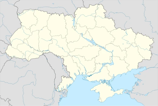
Volyn Oblast
Northwestern Ukrainian oblast with a complex multi-state history.
Last updated
Where it is
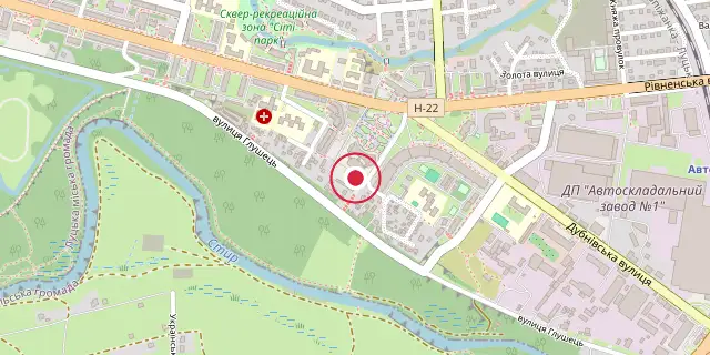
Coordinates: 50°44′28″N 25°21′14″E (50.7410, 25.3540) · Open in OpenStreetMap
Coordinates and connected clubs: the infobox of Wikipedia: Volyn Oblast (CC BY-SA 4.0). Map: drawn by Codexery from OpenStreetMap tiles.
Volyn Oblast is a province in northwestern Ukraine, with its administrative centre in Lutsk. Historically part of Kievan Rus', the Kingdom of Galicia–Volhynia, the Grand Duchy of Lithuania, Poland, and the Russian Empire, it was organized as an oblast of Soviet Ukraine in 1939. The region experienced World War II occupation, partisan activity, and post-war border changes, and today remains a predominantly Ukrainian-speaking, rural area.
Background
Volyn was once part of Kievan Rus' before becoming an independent principality and part of the Kingdom of Galicia–Volhynia. In the 15th century it came under the Grand Duchy of Lithuania, passed to Poland in 1569, and to the Russian Empire in 1795 as part of Volynskaya Guberniya.
In the interwar period most of its territory, organized as Wołyń Voivodeship, was under Polish control. In 1939, following the Molotov–Ribbentrop pact, Volyn was joined to Soviet Ukraine, and the oblast was organized on December 4, 1939. Many Ukrainians rejoiced at the 'reunification', but the Polish minority suffered deportations to Siberia; a high proportion died in Soviet labour camps.
Did You Know?
- Ustyluh is the westernmost town in Volyn Oblast, located further west than Kovel.
- According to the 2001 census, ethnic Ukrainians accounted for 96.9% of the population.
More in Ukrainian Oblasts
Sources
Compiled from Wikipedia and the sources listed below. Text from Wikipedia is available under CC BY-SA 4.0; this entry is adapted from it.
- Wikipedia: Volyn Oblast (CC BY-SA 4.0).
Spotted an error? Know more?
Reader corrections go straight into our review queue. Suggest an edit · How this site is sourced