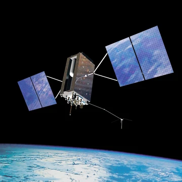
GPS aircraft tracking
Satellite-based tracking of aircraft position and flight data.
GPS aircraft tracking uses satellite navigation to monitor the position of an aircraft in real time. Flight data is transmitted to a ground server, where it is stored and made available over telecommunications networks to interested organizations.
Equipment
Avionics components such as ACARS and ADS-B have antennas mounted outside the airframe. Non-installed devices must be independent of the aircraft and are placed where GPS and communication satellites are directly visible, such as through the cockpit window. Their output signal must penetrate the aircraft, and civil aviation authorities often require compliance with DO-160 for audio frequency conducted susceptibility and induced signal susceptibility. These devices are classified as transmitting portable electronic devices and must be switched off during critical phases of flight.
Applications
Accurate real-time data from GPS aircraft tracking can be supplied to air traffic control via ADS-B, potentially reducing airspace separation. Airlines use the ACARS system to track their fleets, and the data aids in locating aircraft after accidents. It is processed to derive OOOI information for airport movements and to compute flight time. Flight schools use it to monitor trainee pilots and review flight paths after a flight.
Active aircraft tracking
Active tracking systems employ a bread-crumb approach for search and rescue, sending position reports at regular intervals. If the unit stops transmitting upon impact, the historical transmissions provide the last known location, speed, direction, and altitude. The Coroner in New Zealand has recently encouraged such tracking as an alternative or complement to current technology.
More in Satellite Navigation
Spotted an error? Know more?
Reader corrections go straight into our review queue. Suggest an edit · How this site is sourced