Gaoua
Market town and Lobi cultural center in southern Burkina Faso.
Last updated
Where it is
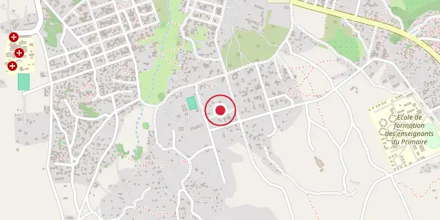
Coordinates: 10°19′01″N 3°10′01″W (10.3170, -3.1670) · Open in OpenStreetMap
Coordinates and connected clubs: the infobox of Wikipedia: Gaoua (CC BY-SA 4.0). Map: drawn by Codexery from OpenStreetMap tiles.
Gaoua is a market town in southern Burkina Faso and the capital of Poni Province. It serves as a center for the sacred rites and bush lore of the Lobi peoples. According to local myth, the town was founded when the Lobi migrated from northern Ghana, naming their trek Gan-houo, meaning 'route of the Gan people.'
Lobi Goldfields
The Lobi originally lived in Takyiman, Ghana, but crossed the Mouhoun River due to the Dagomba Wars in the 1770s. Thirty years later they displaced the Gan at Gaoua. The French occupied the area in 1879, drawn by gold that had been traded since the Mossi and Dyula era. Though primarily farmers, the Lobi panned for gold around Gaoua, which also lay on a trade route to the Poura gold mines.
Climate
Gaoua has a tropical savanna climate (Köppen Aw), typical of the Sudan region. The weather is hot year-round, with sweltering conditions from February to May before the rainy season. During the rainy season, cloud cover lowers temperatures but high humidity keeps it uncomfortable. In December and January, afternoons remain hot, but humidity is low and mornings are pleasant.
More in Sacred Groves
Sources
Compiled from Wikipedia and the sources listed below. Text from Wikipedia is available under CC BY-SA 4.0; this entry is adapted from it.
- Wikipedia: Gaoua (CC BY-SA 4.0).
Spotted an error? Know more?
Reader corrections go straight into our review queue. Suggest an edit · How this site is sourced